Choctaw County is a county located in the southwestern portion of the U.S. state of Alabama. As of the 2020 census, the population was 12,665. The county seat is Butler. The county was established on December 29, 1847, and named for the Choctaw tribe of Native Americans.
| Name: | Choctaw County |
|---|---|
| FIPS code: | 01-023 |
| State: | Alabama |
| Founded: | December 29, 1847 |
| Named for: | Choctaw tribe |
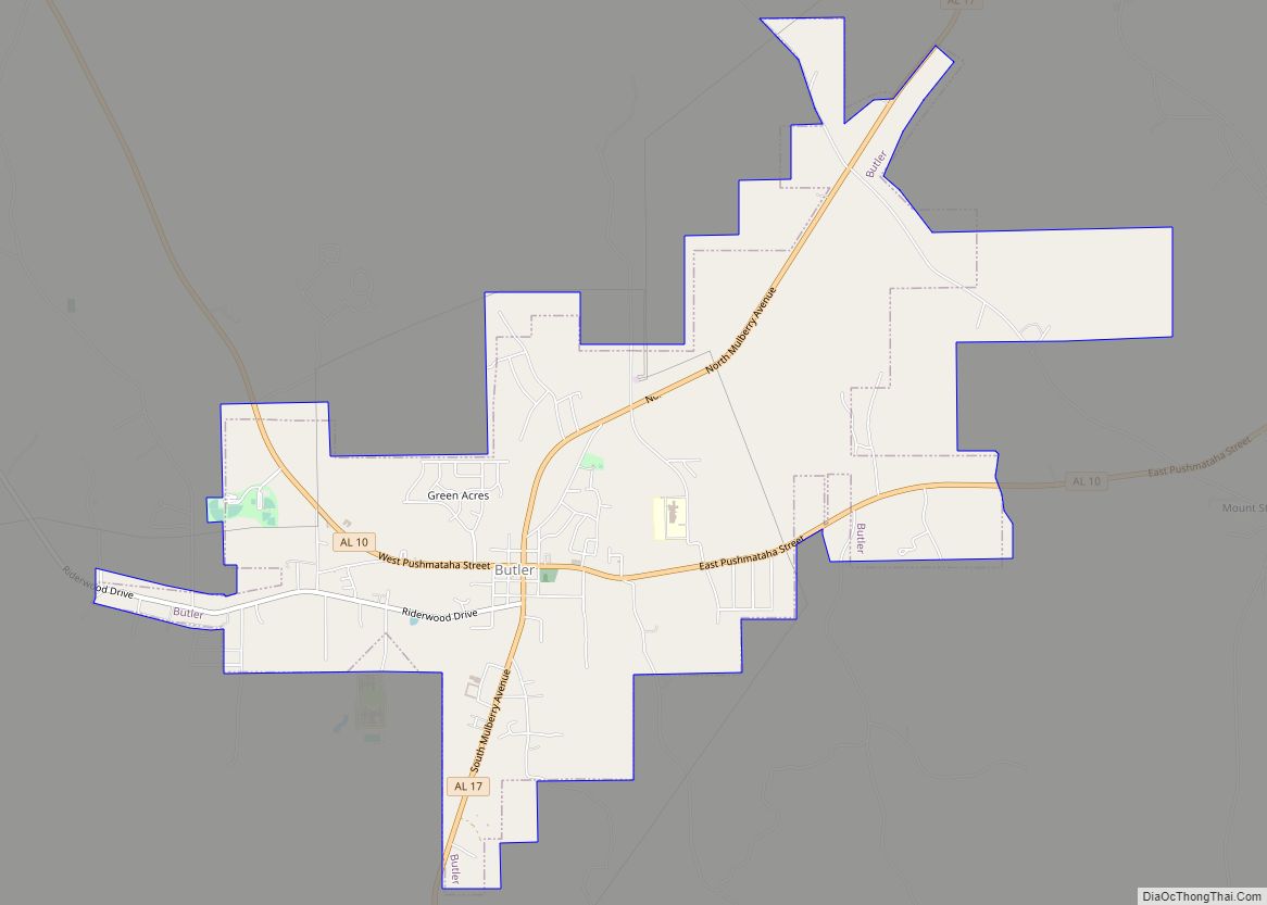
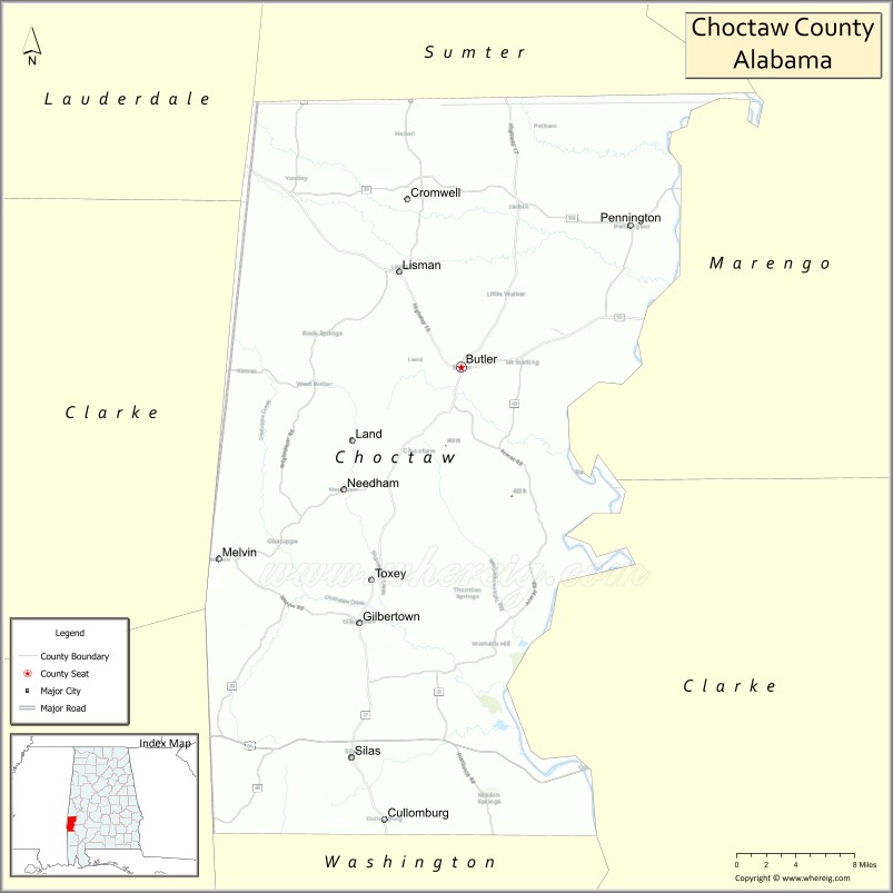
| Seat: | Butler |
| Largest town: | Butler |
| Total Area: | 921 sq mi (2,390 km²) |
| Land Area: | 914 sq mi (2,370 km²) |
| Total Population: | 12,665 |
| Population Density: | 14/sq mi (5.3/km²) |
| Time zone: | UTC−6 (Central) |
| Summer Time Zone (DST): | UTC−5 (CDT) |
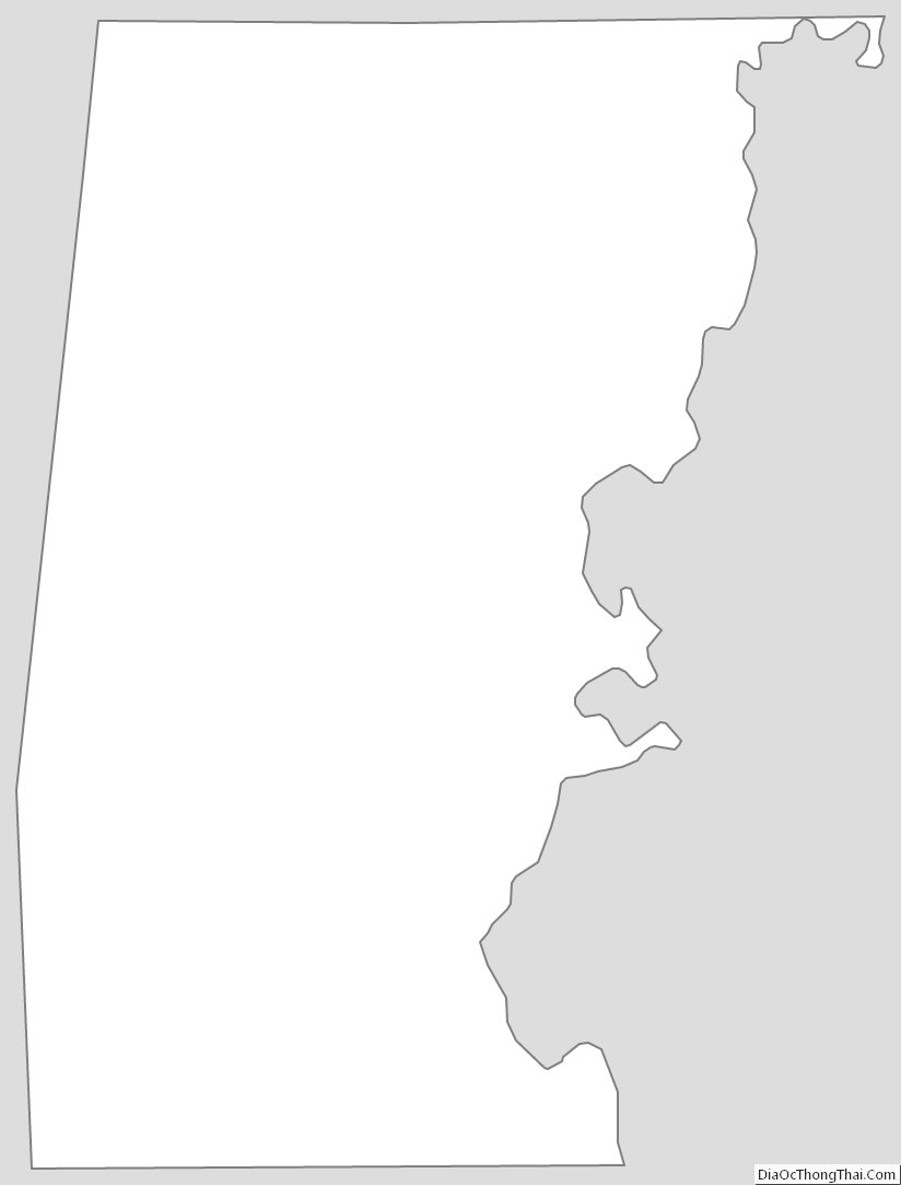
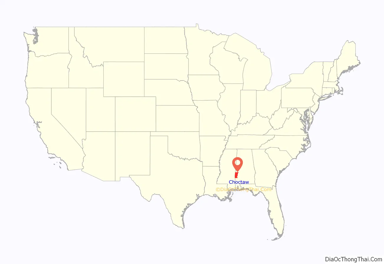
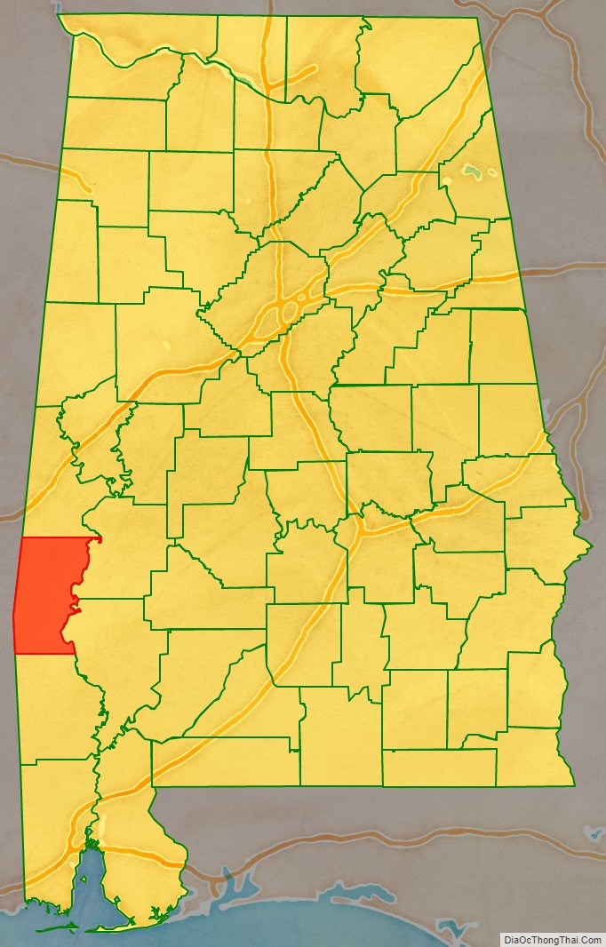
Choctaw County location map. Where is Choctaw County?
History
Choctaw County was originally part of the Choctaw Nation, with Choctaw settlements known to be in the vicinity of Pushmataha prior to the removal of Native Americans from the southeastern United States during the Trail of Tears.
Most of the early European American pioneers of Choctaw County were farmers from North and South Carolina. In 1912 the Alabama, Tennessee and Northern Railroad was completed through the county from north to south, connecting the area to the Port of Mobile and northern Alabama. It induced a population shift from areas near the Tombigbee River to the central part of the county.
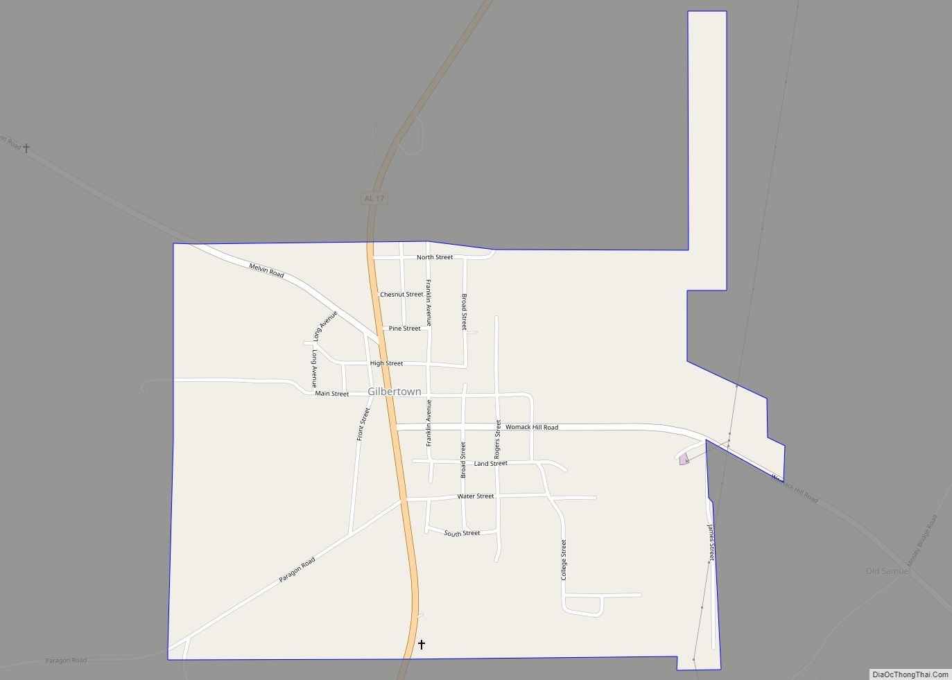
The county’s population reached its peak in the 1920s, due in part from jobs created by a sawmill boom with companies as the E. E. Jackson Lumber Company and Choctaw Lumber Company. The sawmill industry collapsed during the Great Depression. The first successful oil well in Alabama was drilled at Gilbertown in 1944, with oil and gas becoming the county’s most important industry. This industry waned by the 1970s as the wells lost profitability.
An African-American family, the Thorntons of Mobile, was featured in the September 24, 1956, issue of Life Magazine. The article included an interview with the Thorntons’ daughter, Allie Lee Causey, of Shady Grove in Choctaw County. In the article, Mrs. Causey, a schoolteacher, spoke openly about her family’s life, stating that “integration is the only way in which Negroes will receive justice. We cannot get it as a separate people. If we can get justice on our jobs, and equal pay, then we’ll be able to afford better homes and good education.” When the magazine was seen in Choctaw County, the Causeys were subjected to brutal economic retaliation by white residents, who tried to coerce Mrs. Causey into recanting her remarks. Their loans were called in, local stores refused to sell them food and gasoline, Willie Causey was cut off from his employment as a woodcutter, and Mrs. Causey was fired from her job as a teacher. The Causeys left Shady Grove and Alabama for good in October 1956.
Apparel factories opened during the 1950s–60s in Silas, Toxey, and Butler, although the plants had largely closed by the 21st century. The 1950s also saw the building a paper mill at Naheola, now owned and operated by Georgia-Pacific. The county was declared a disaster area in September 1979, due to damage from Hurricane Frederic. The 1980s saw the main railroad close and the tracks removed.
Historic sites
Choctaw County has one site listed on the National Register of Historic Places, the Mount Sterling Methodist Church. Additionally, five sites are listed on the Alabama Register of Landmarks and Heritage.
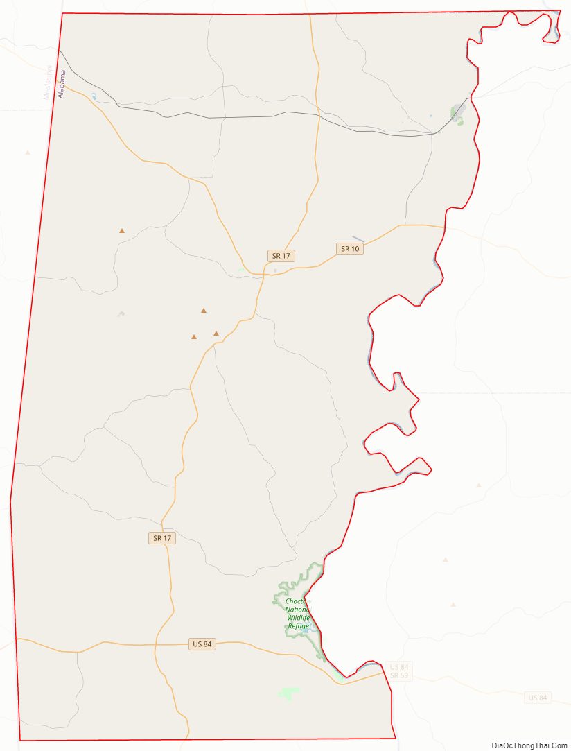
Choctaw County Road Map
Geography
According to the United States Census Bureau, the county has a total area of 921 square miles (2,390 km), of which 914 square miles (2,370 km) is land and 7.4 square miles (19 km) (0.8%) is water.
Major highways
- U.S. Highway 84
- State Route 10
- State Route 17
- State Route 114
- State Route 156
Adjacent counties
- Sumter County (north)
- Marengo County (northeast)
- Clarke County (southeast)
- Washington County (south)
- Wayne County, Mississippi (southwest)
- Clarke County, Mississippi (west)
- Lauderdale County, Mississippi (northwest)
National protected area
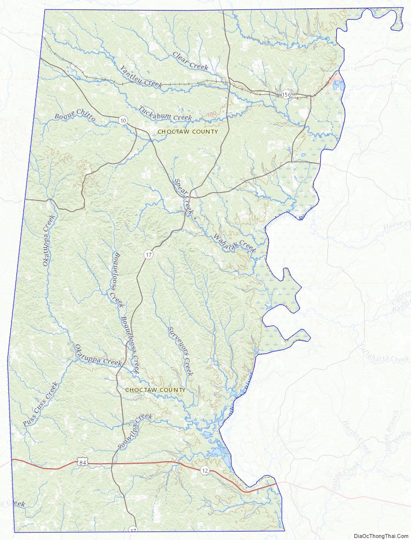
- Choctaw National Wildlife Refuge
Choctaw County Topographic Map
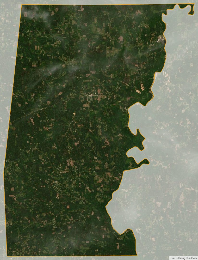
Choctaw County Satellite Map
Choctaw County Outline Map