Petersburg Borough is a borough in the U.S. state of Alaska. According to the 2020 census, the population was 3,398. The borough seat is Petersburg. Petersburg is the most recently created county equivalent in the United States.
| Name: | Petersburg Borough |
|---|---|
| FIPS code: | 02-195 |
| State: | Alaska |
| Named for: | Petersburg |
| Seat: | Petersburg |
| Total Area: | 3,829 sq mi (9,920 km²) |
| Total Population: | 3,398 |
| Population Density: | 0.89/sq mi (0.34/km²) |
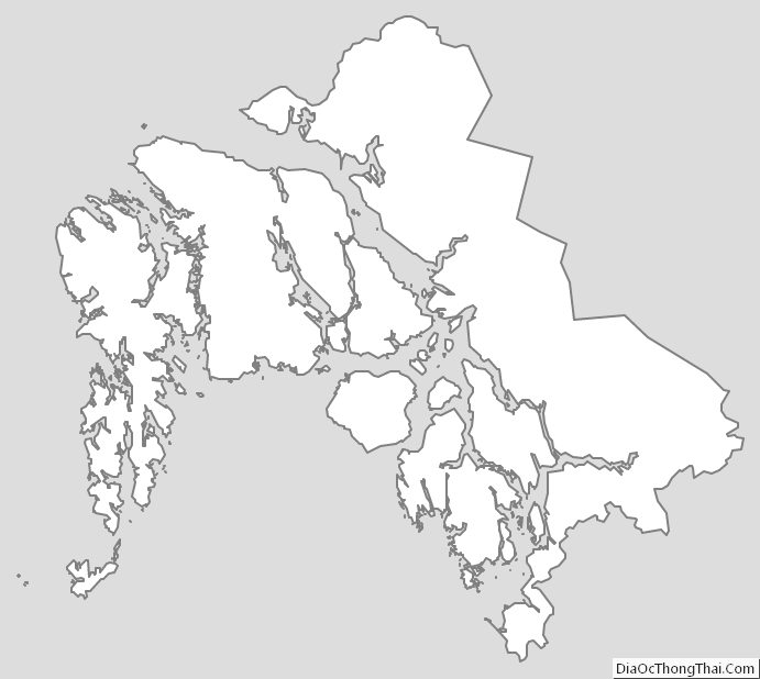
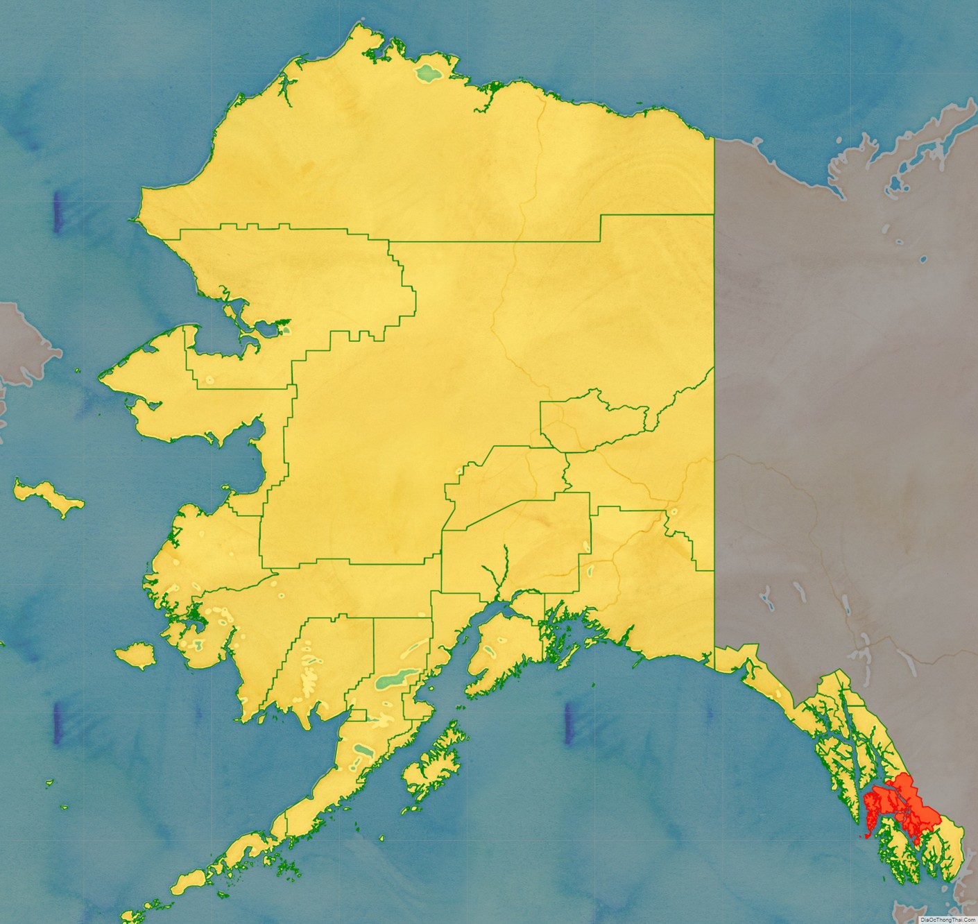
Petersburg Borough location map. Where is Petersburg Borough?
History
When the borough incorporated in 2013, it took area from the Hoonah-Angoon Census Area and the former Petersburg Census Area. The remaining portion of Petersburg Census Area (including Kake) was added to Prince of Wales-Hyder Census Area. Petersburg Census Area was created in 2008 from the remaining portion of Wrangell-Petersburg Census Area upon the incorporation of the City and Borough of Wrangell.
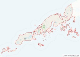
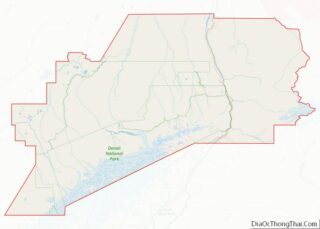
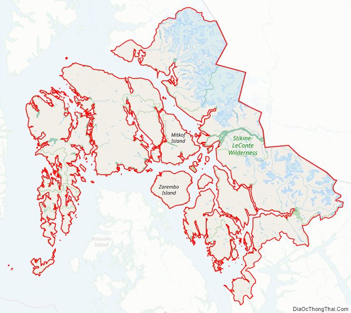
Petersburg Borough Road Map
Geography
Located in central Southeast Alaska, the Petersburg Borough encompasses approximately 3,829 square miles (2,921 square miles of land, 908 square miles of water).
Adjacent boroughs and census area
- Juneau Borough, Alaska – northwest (quadripoint)
- Wrangell Borough, Alaska – southeast
- Prince of Wales-Hyder Census Area, Alaska – southwest
- Hoonah–Angoon Census Area – north and west
- Regional District of Kitimat-Stikine, British Columbia, Canada – east
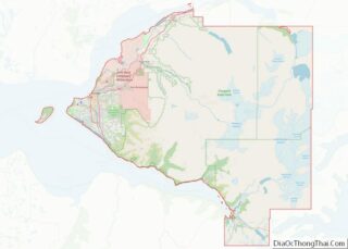
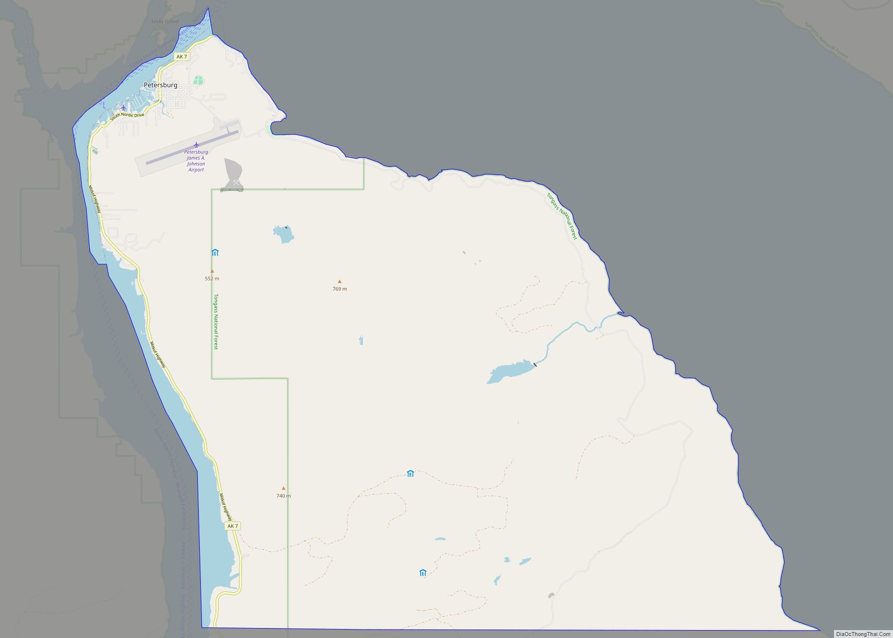
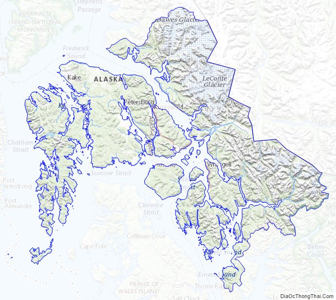
Petersburg Borough Topographic Map
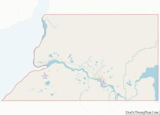
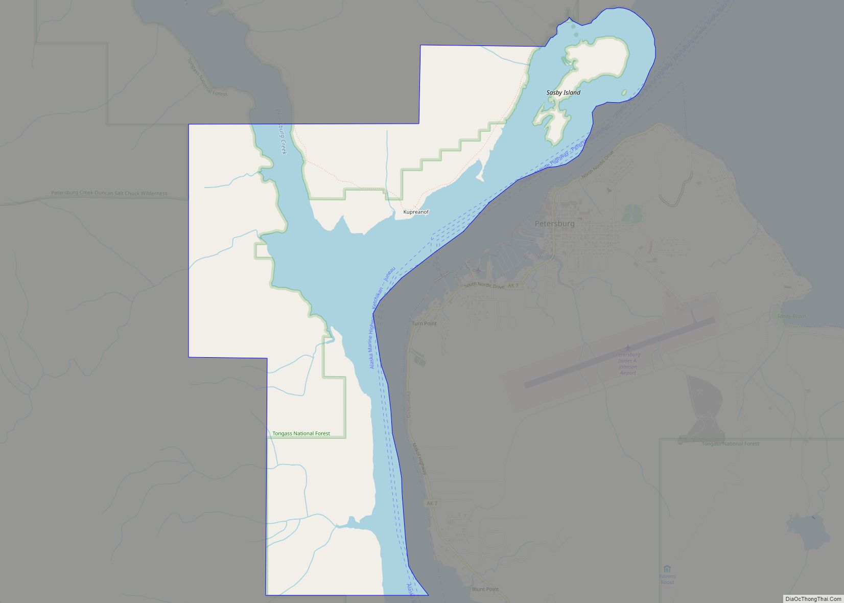
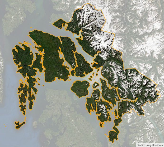
Petersburg Borough Satellite Map
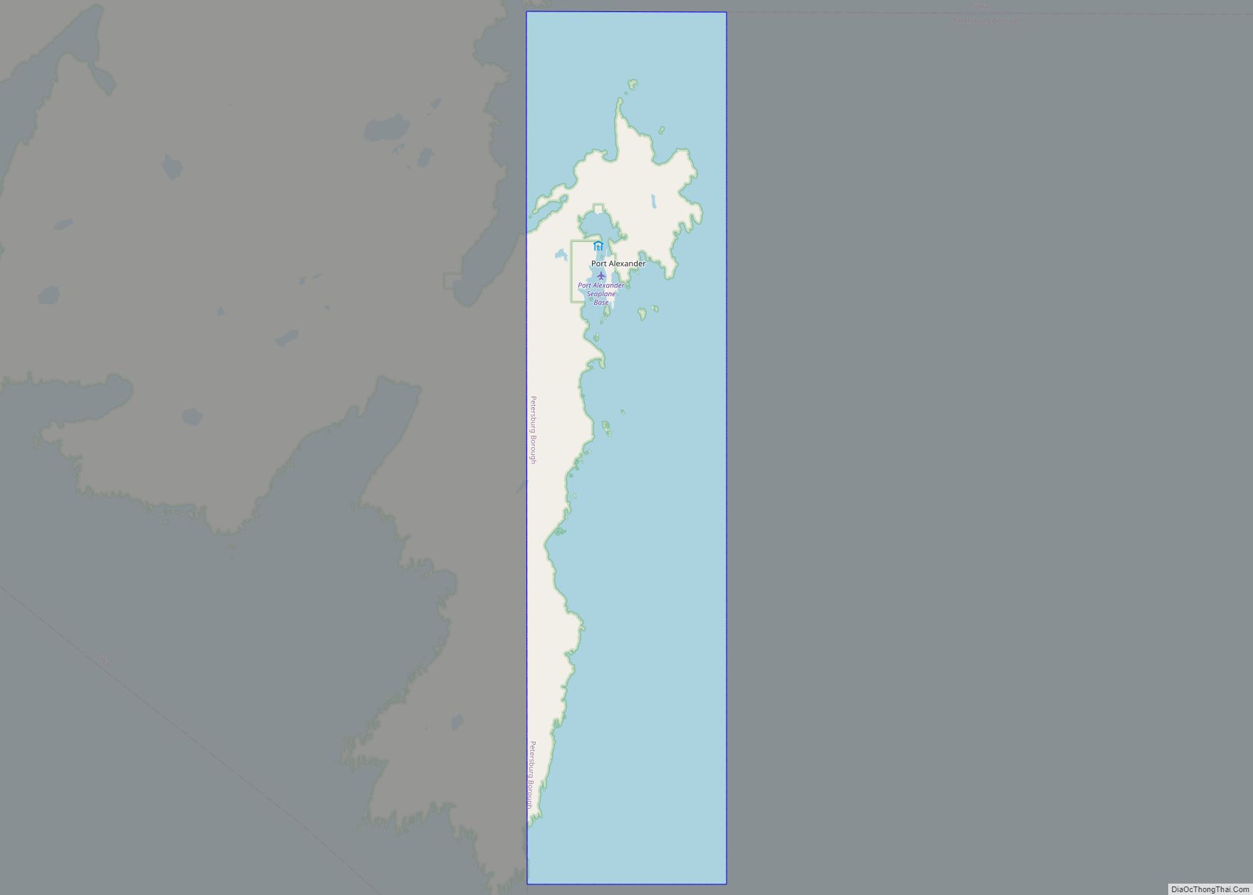
Petersburg Borough Outline Map