Jacksonville is a city located on the Atlantic coast of northeastern Florida, the most populous city proper in the state and the second largest city by area in the contiguous United States as of 2020. It is the seat of Duval County, with which the city government consolidated in 1968. Consolidation gave Jacksonville its great ... Read more
Popular US cities & places
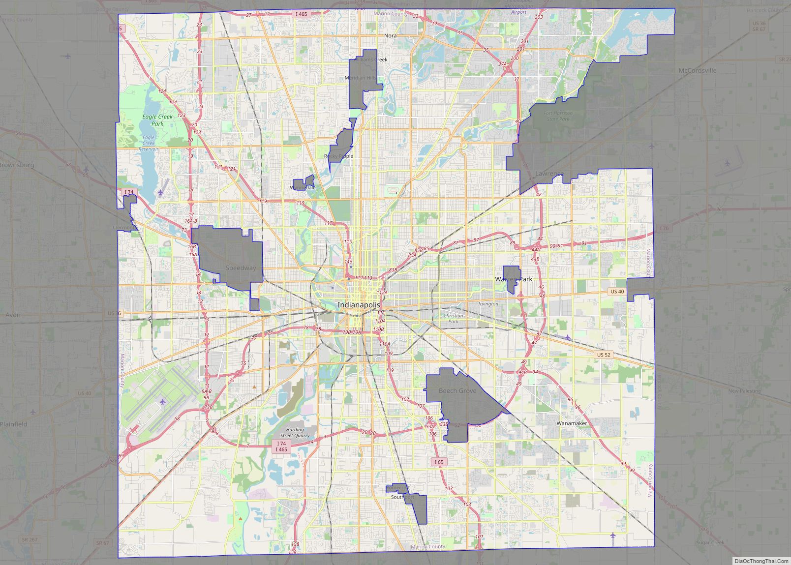
Indianapolis city (balance) overview: Name: Indianapolis city (balance) LSAD Code: 00 LSAD Description: 0 State: Indiana County: Marion County FIPS code: 1836003 Indianapolis is home to the Motor Speedway, the largest city in Indiana. Have an amazing experience in the city with this Indianapolis map collection that includes highways, roads, things to do, and more. ... Read more
Columbus city overview: Name: Columbus city LSAD Code: 25 LSAD Description: city (suffix) State: Ohio County: Delaware County, Fairfield County, Franklin County Incorporated: February 10, 1816 Elevation: 781 ft (238 m) Land Area: 220.40 sq mi (570.82 km²) Water Area: 5.86 sq mi (15.18 km²) Population Density: 4,109.64/sq mi (1,586.74/km²) FIPS code: 3918000 GNISfeature ID: 1080996 Website: www.columbus.gov Explore the city with this Columbus ... Read more
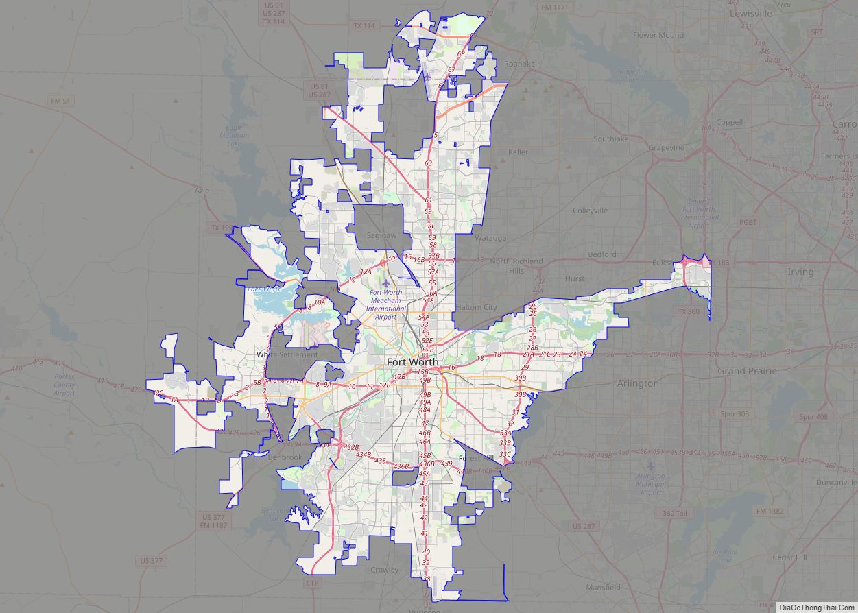
Fort Worth is the fifth-largest city in the U.S. state of Texas and the 13th-largest city in the United States. It is the county seat of Tarrant County, covering nearly 350 square miles (910 km) into four other counties: Denton, Johnson, Parker, and Wise. According to a 2022 United States census estimate, Fort Worth’s population was ... Read more
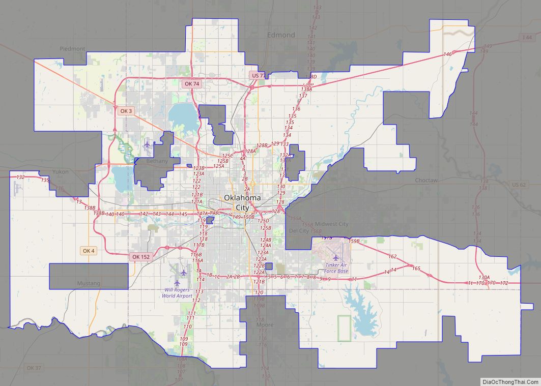
Oklahoma City (/oʊkləˌhoʊmə -/ (listen)), officially the City of Oklahoma City, and often shortened to OKC, is the capital and largest city of the U.S. state of Oklahoma. The county seat of Oklahoma County, it ranks 20th among United States cities in population, and is the 8th largest city in the Southern United States. The ... Read more
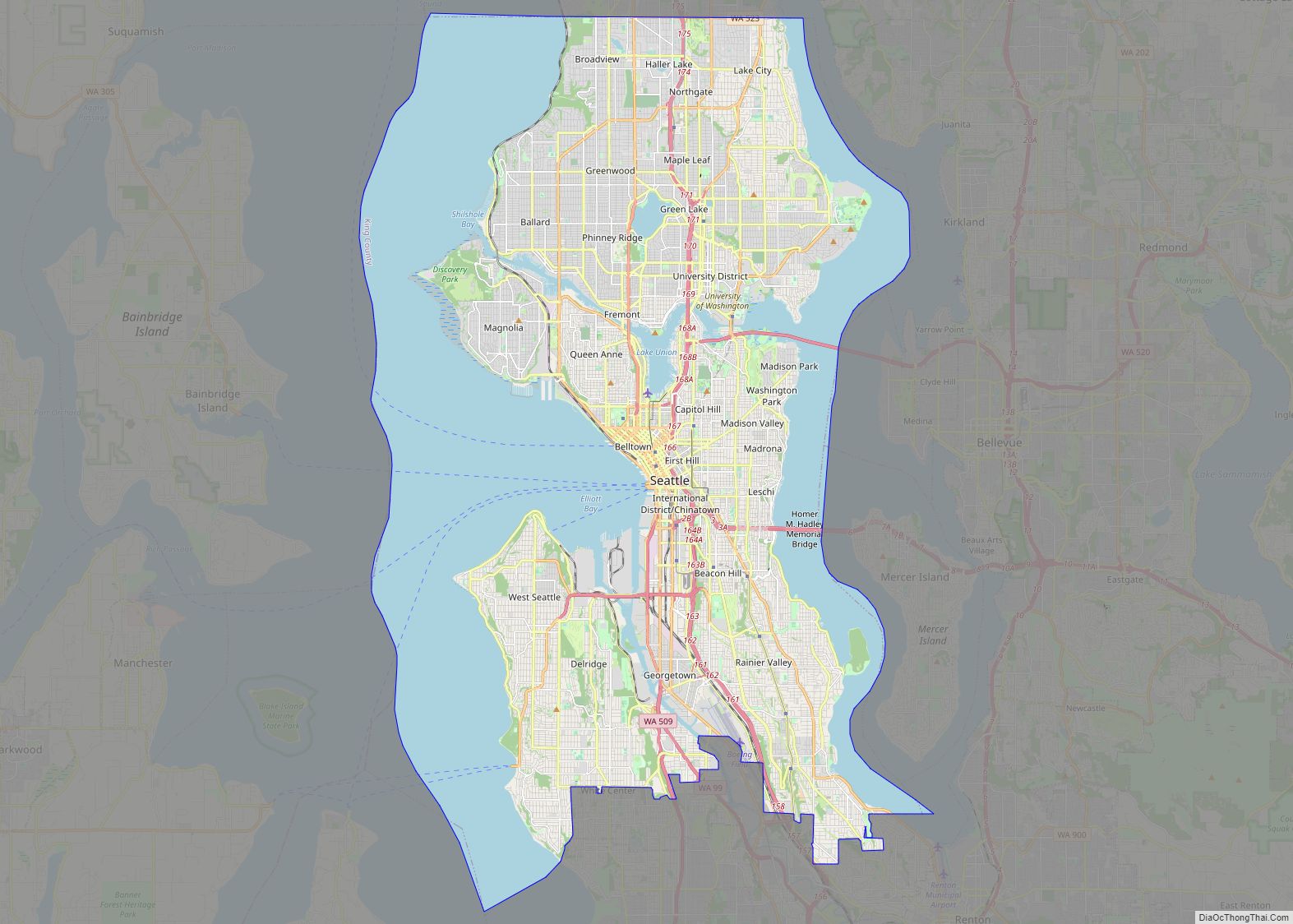
Seattle (/siˈætəl/ (listen) see-AT-əl) is a seaport city on the West Coast of the United States. It is the seat of King County, Washington. With a 2020 population of 737,015, it is the largest city in both the state of Washington and the Pacific Northwest region of North America. The Seattle metropolitan area’s population is ... Read more
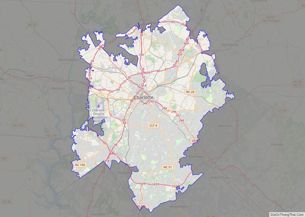
Charlotte city overview: Name: Charlotte city LSAD Code: 25 LSAD Description: city (suffix) State: North Carolina County: Mecklenburg County Incorporated: December 3, 1768 Elevation: 761 ft (232 m) Land Area: 310.02 sq mi (802.94 km²) Water Area: 1.98 sq mi (5.14 km²) Population Density: 2,821.06/sq mi (1,089.22/km²) ZIP code: 282XX 28201-28237, 28240-28247, 28250, 28253-28256, 28258, 28260-28262, 28265-28266, 28269-28275, 28277-28278, 28280-28290, 28296-28297, 28299 FIPS code: ... Read more
Boston (US: /ˈbɔːstən/), officially the City of Boston, is the capital and largest city of the Commonwealth of Massachusetts and the cultural and financial center of the New England region of the Northeastern United States. The city boundaries encompass an area of about 48.4 sq mi (125 km) and a population of 675,647 as of 2020. The city ... Read more
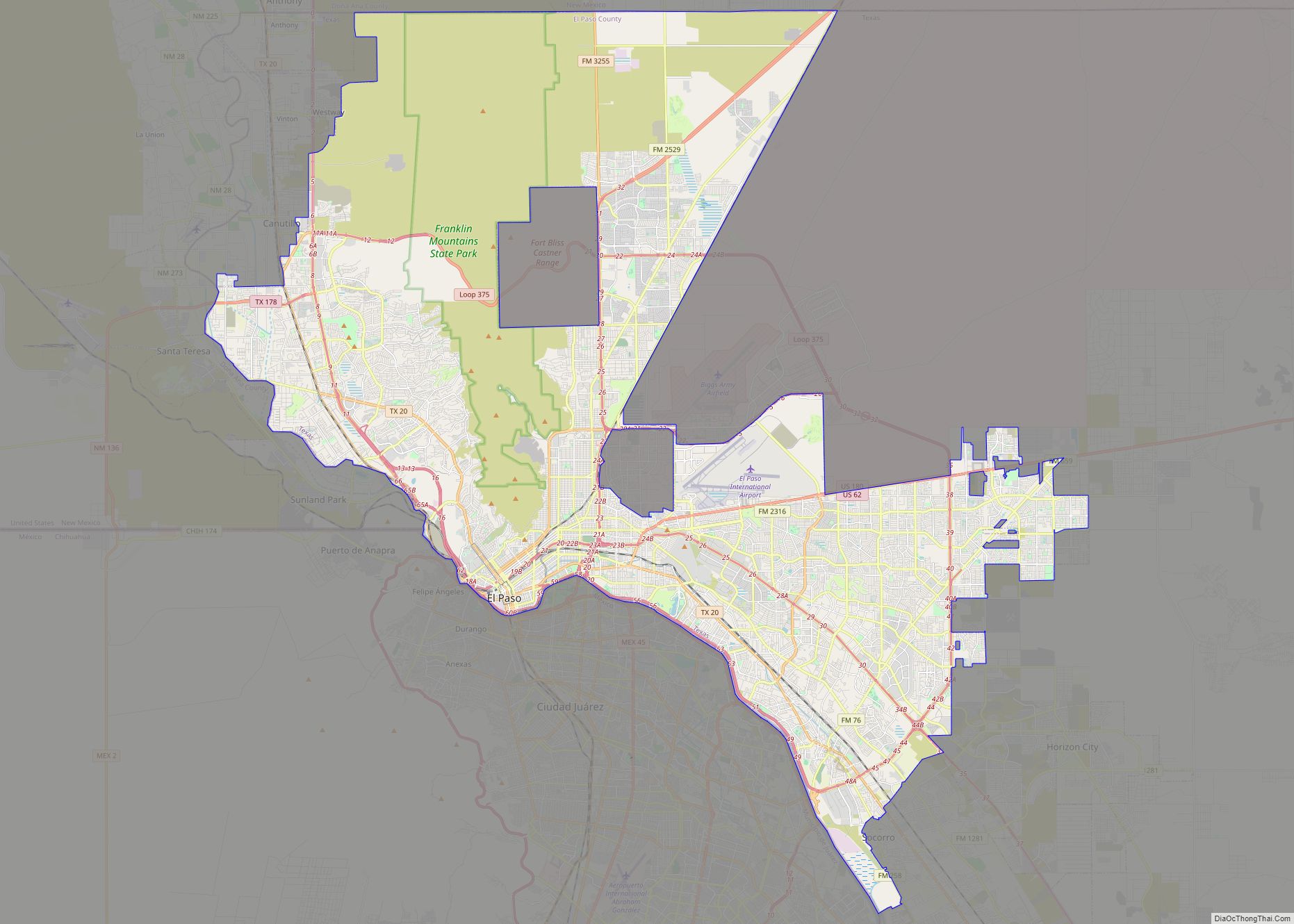
El Paso (/ɛl ˈpæsoʊ/; Spanish: [el ˈpaso]; lit. ’the pass’ or ‘the step’) is a city in and the county seat of El Paso County, Texas, United States. The 2020 population of the city from the U.S. Census Bureau was 678,815, making it the 22nd-largest city in the U.S., the sixth-largest city in Texas. The city has ... Read more
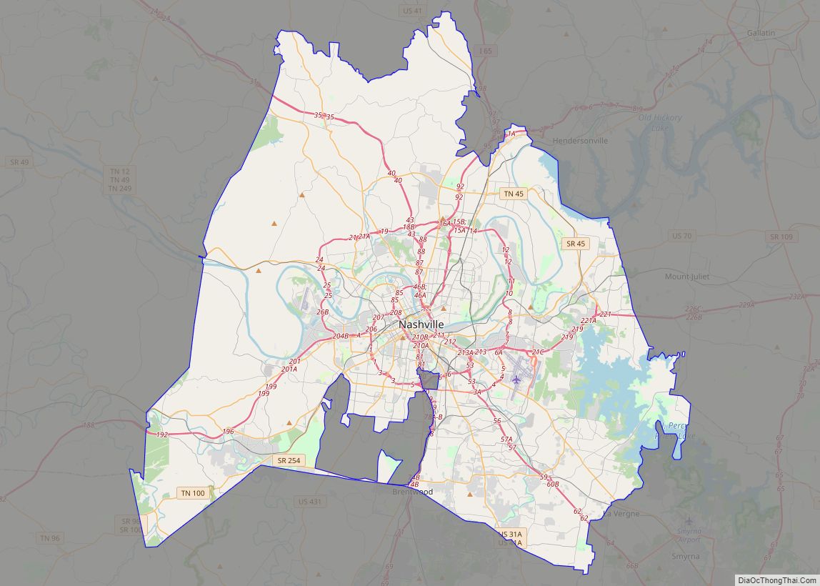
Nashville-Davidson metropolitan government (balance) overview: Name: Nashville-Davidson metropolitan government (balance) LSAD Code: 00 LSAD Description: 0 State: Tennessee County: Davidson County FIPS code: 4752006 Discover the vibrant city of Nashville with our interactive Nashville map. Featuring highways, roads, places, and major landmarks, this map will help you explore the city with ease. Nashville is located ... Read more
Detroit (/dəˈtrɔɪt/ də-TROYT, locally also /ˈdiːtrɔɪt/ DEE-troyt) is the largest city in the U.S. state of Michigan. It is also the largest U.S. city on the United States–Canada border, and the seat of government of Wayne County. The City of Detroit had a population of 639,111 at the 2020 census, making it the 27th-most populous ... Read more
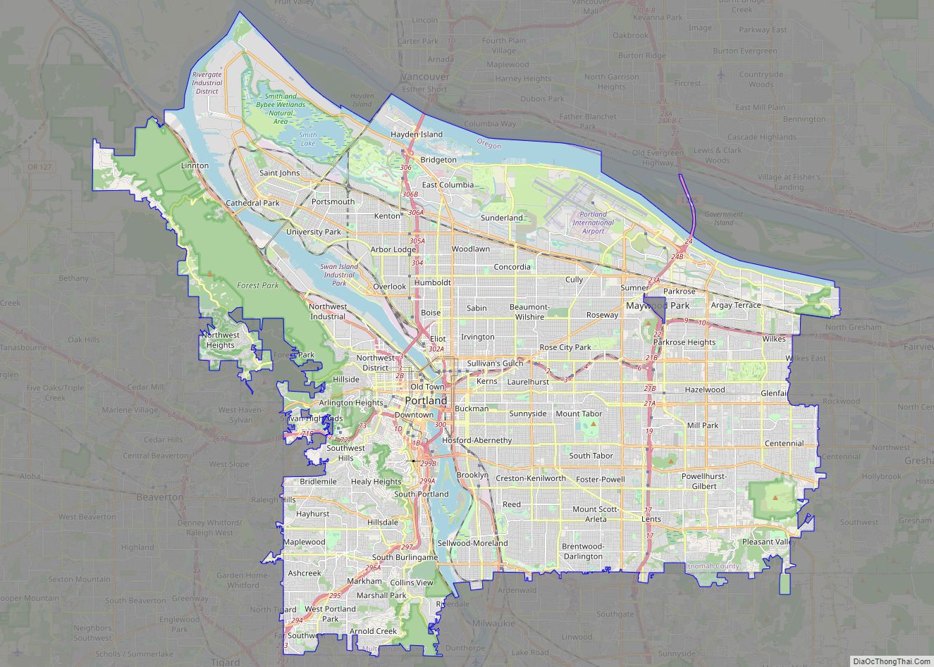
Portland (/ˈpɔːrtlənd/ PORT-lənd) is a port city in the Pacific Northwest and the largest city in the U.S. state of Oregon. Situated in the northwestern area of the state at the confluence of the Willamette and Columbia rivers, Portland is the county seat of Multnomah County, the most populous county in Oregon. As of 2020, ... Read more

