Alleghany County (/ælɪˈɡeɪniː/) is a county located in the U.S. state of North Carolina. As of the 2020 census, the population was 10,888. Its county seat is Sparta.
| Name: | Alleghany County |
|---|---|
| FIPS code: | 37-005 |
| State: | North Carolina |
| Founded: | 1859 |
| Named for: | Allegheny Mountains |
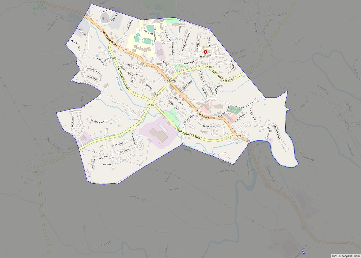
| Seat: | Sparta |
| Largest town: | Sparta |
| Total Area: | 237 sq mi (610 km²) |
| Land Area: | 235 sq mi (610 km²) |
| Total Population: | 11,049 |
| Population Density: | 47/sq mi (18/km²) |
| Time zone: | UTC−5 (Eastern) |
| Summer Time Zone (DST): | UTC−4 (EDT) |
| Website: | www.alleghanycounty-nc.gov |
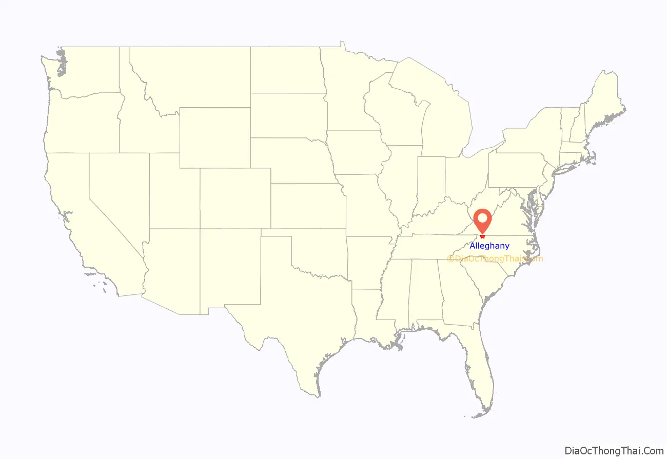
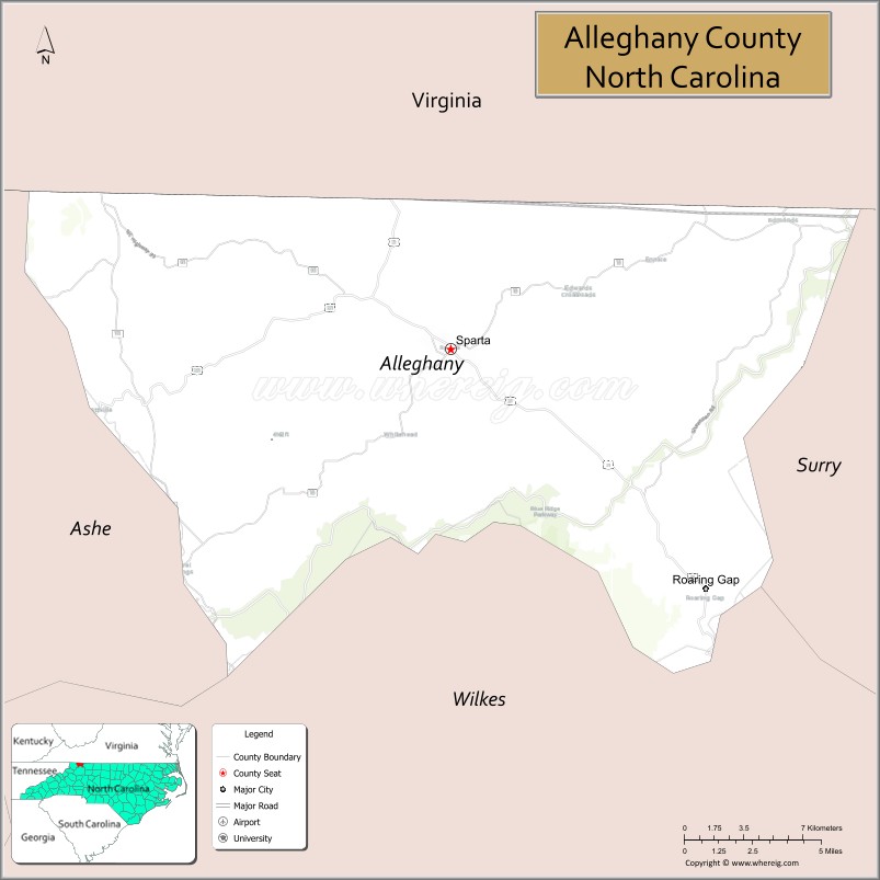
Alleghany County location map. Where is Alleghany County?
History
The county was formed in 1859 from the eastern part of Ashe County and was named for the Allegheny Mountains. Numerous boundary adjustments have been made since it was established, but none of these have resulted in new counties.
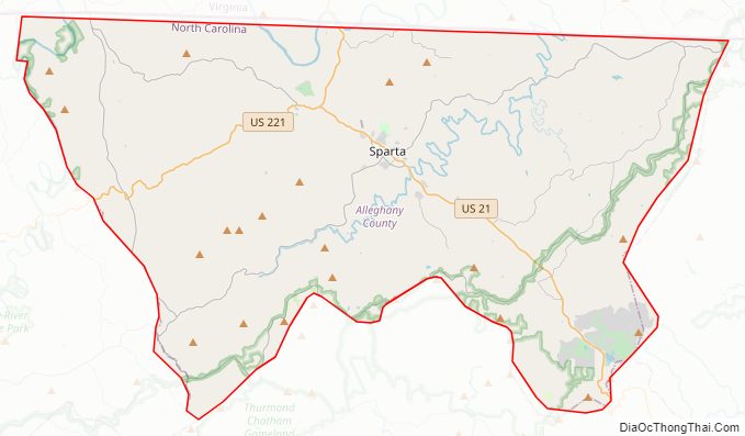
Alleghany County Road Map
Geography
According to the U.S. Census Bureau, the county has a total area of 235 square miles (610 km), of which 235 square miles (610 km) is land and 1.5 square miles (3.9 km) (0.6%) is water. It is the fourth-smallest county in North Carolina by total area with just over 235 square miles, ranking 97 out of 100 total counties in the state.
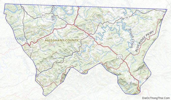
Alleghany County is located in northwestern North Carolina, and its northern border is with the State of Virginia. The county is located entirely within the Appalachian Mountains region of western North Carolina. Most of the county is located atop a rolling plateau that ranges from 2,500 feet (760 m) to 3,000 feet (910 m) above sea level. The southern border of the county drops abruptly nearly 1,500 feet (460 m) to the Foothills region of North Carolina. The plateau is crossed by numerous hills and mountains. The highest point in the county is Peach Bottom Mountain – Catherine Knob at 4,175 feet (1,273 m) above sea level. The major rivers of Alleghany County are the New River, and the Little River; the latter flows through the town of Sparta, the county seat.
Isolated by mountainous terrain from the remainder of North Carolina to the east, Alleghany County was described in the 19th and early 20th centuries as one of the Lost Provinces of North Carolina.
Due to its elevation, Alleghany County enjoys slightly cooler summers than the lowland areas to the east and south, with temperatures seldom rising over 90 °F (32 °C). In the winter, however, temperatures can frequently be colder than would be expected in a southern state. Daytime highs can fall into the teens or lower, and snowfall can be extremely heavy at times. According to USClimateData.com, the average temperature is 52.85 °F (11.58 °C).
National protected area
- Blue Ridge Parkway (part)
State and local protected areas
- Bullhead Mountain State Natural Area
- Cumberland Knob Recreation Area (part)
- Doughton Recreation Area (part)
- New River State Park (park)
- Raven Knob Scout Reservation (part)
- Stone Mountain State Park (part)
- Thurmond Chatham Wildlife Management Area (part)
Major water bodies
- Brush Creek
- Elk Creek
- Laurel Creek
- Little River
- New River (Kanawha River tributary)
- Pine Swamp Creek
- Prather Creek
- Rock Creek
- South Fork New River
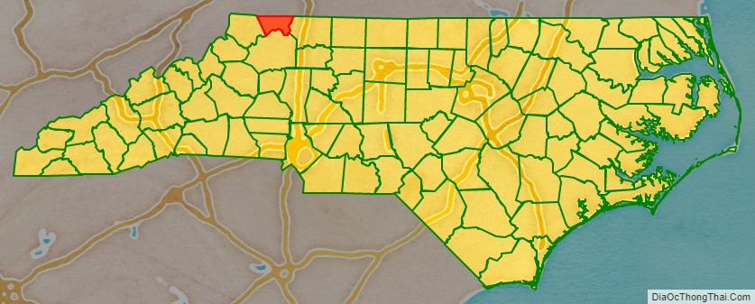
Adjacent counties
- Grayson County, Virginia – north
- Surry County – east
- Wilkes County – south
- Ashe County – west
Major highways
- US 21
- US 21 Truck
- US 221
- NC 18
- NC 88
- NC 93
- NC 113
Alleghany County Topographic Map
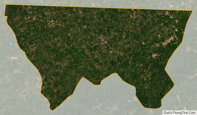
Alleghany County Satellite Map
Alleghany County Outline Map