Sparta is a town in Alleghany County, North Carolina, United States. At the last 2010 census, the population was 1,770 people. It is the county seat of Alleghany County.
| Name: | Sparta town |
|---|---|
| LSAD Code: | 43 |
| LSAD Description: | town (suffix) |
| State: | North Carolina |
| County: | Alleghany County |
| Elevation: | 2,927 ft (892 m) |
| Total Area: | 2.36 sq mi (6.11 km²) |
| Land Area: | 2.35 sq mi (6.08 km²) |
| Water Area: | 0.01 sq mi (0.02 km²) |
| Total Population: | 1,834 |
| Population Density: | 780.76/sq mi (301.47/km²) |
| ZIP code: | 28675 |
| Area code: | 336 |
| FIPS code: | 3763680 |
| GNISfeature ID: | 0995271 |
| Website: | www.townofsparta.org |
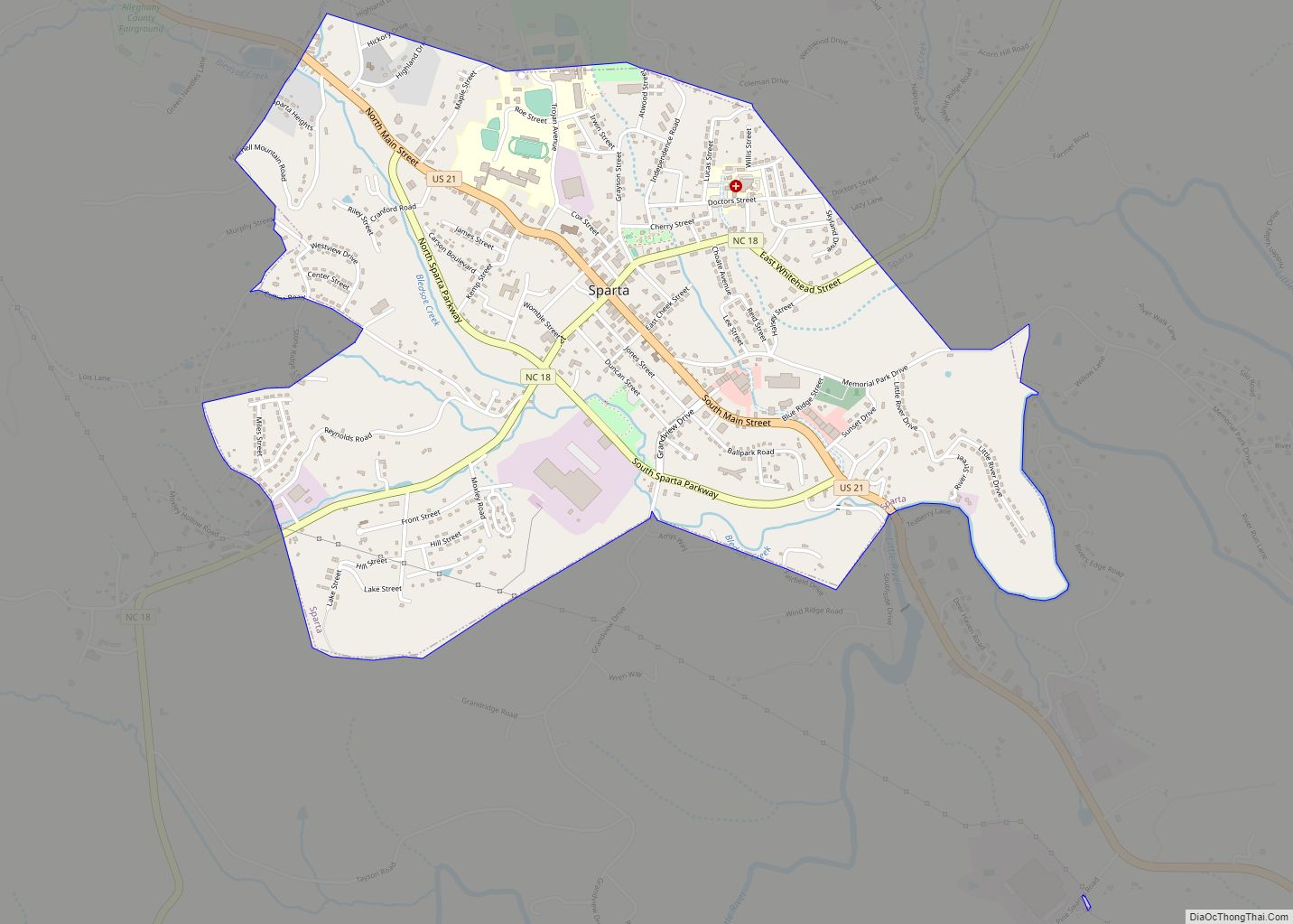
Online Interactive Map
Click on ![]() to view map in "full screen" mode.
to view map in "full screen" mode.
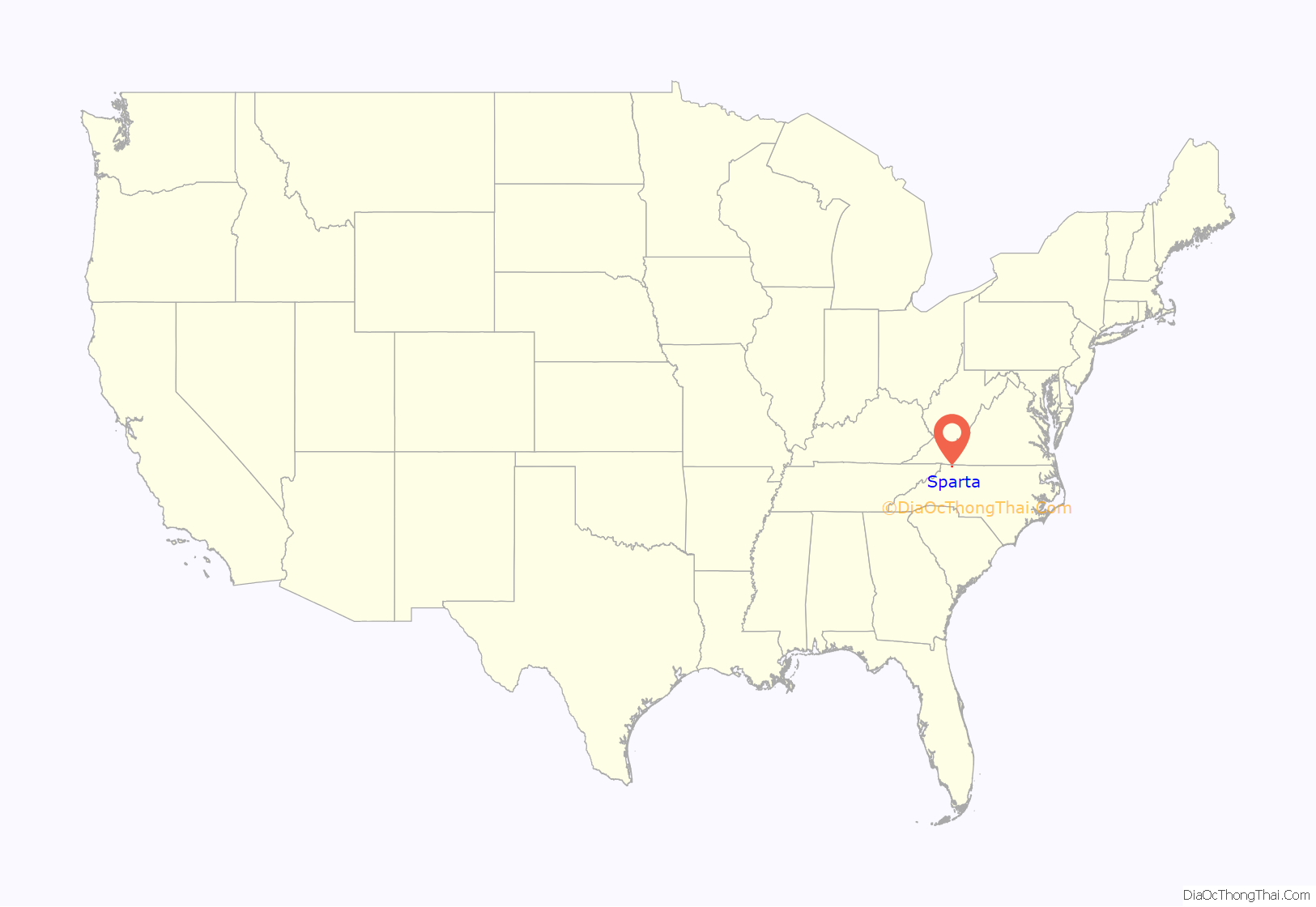
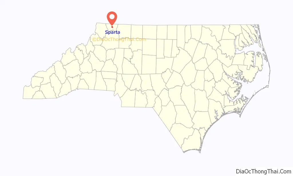
Sparta location map. Where is Sparta town?
History
James H. Parks, an early businessman whose store stood near the present location of the ABC store, was one of three men who donated land for the county seat in 1866. Parks is credited with suggesting the name “Sparta”, after the Greek city-state.
Noteworthy businesses established in Sparta included The Alleghany News (1889), the Bank of Sparta (1902), and the second store purchased by home improvement giant Lowe’s (1949). Sparta’s first shopping center, Trojan Village, opened in 1977, followed by Sparta Plaza in 1986.
The Alleghany County Courthouse and Jarvis House are listed on the National Register of Historic Places.
On August 9, 2020, the town was the epicenter of a moderate earthquake that was felt as far as Georgia. The earthquake, which registered as a 5.1 on the Richter magnitude scale, was the largest earthquake to occur in North Carolina in over 100 years.
Sparta Road Map
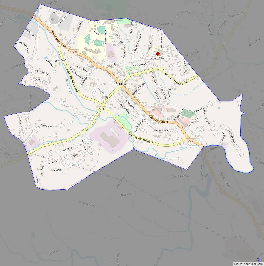
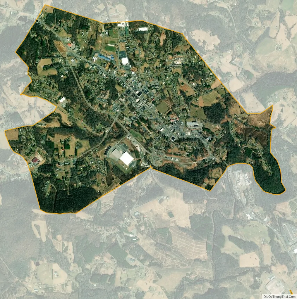
Sparta city Satellite Map
Geography
Sparta is located at 36°30′20″N 81°7′18″W / 36.50556°N 81.12167°W / 36.50556; -81.12167 (36.505639, -81.121718).
According to the United States Census Bureau, the town has a total area of 2.4 square miles (6.2 km), of which 0.0077 square miles (0.02 km), or 0.32%, is water.
See also
Map of North Carolina State and its subdivision:- Alamance
- Alexander
- Alleghany
- Anson
- Ashe
- Avery
- Beaufort
- Bertie
- Bladen
- Brunswick
- Buncombe
- Burke
- Cabarrus
- Caldwell
- Camden
- Carteret
- Caswell
- Catawba
- Chatham
- Cherokee
- Chowan
- Clay
- Cleveland
- Columbus
- Craven
- Cumberland
- Currituck
- Dare
- Davidson
- Davie
- Duplin
- Durham
- Edgecombe
- Forsyth
- Franklin
- Gaston
- Gates
- Graham
- Granville
- Greene
- Guilford
- Halifax
- Harnett
- Haywood
- Henderson
- Hertford
- Hoke
- Hyde
- Iredell
- Jackson
- Johnston
- Jones
- Lee
- Lenoir
- Lincoln
- Macon
- Madison
- Martin
- McDowell
- Mecklenburg
- Mitchell
- Montgomery
- Moore
- Nash
- New Hanover
- Northampton
- Onslow
- Orange
- Pamlico
- Pasquotank
- Pender
- Perquimans
- Person
- Pitt
- Polk
- Randolph
- Richmond
- Robeson
- Rockingham
- Rowan
- Rutherford
- Sampson
- Scotland
- Stanly
- Stokes
- Surry
- Swain
- Transylvania
- Tyrrell
- Union
- Vance
- Wake
- Warren
- Washington
- Watauga
- Wayne
- Wilkes
- Wilson
- Yadkin
- Yancey
- Alabama
- Alaska
- Arizona
- Arkansas
- California
- Colorado
- Connecticut
- Delaware
- District of Columbia
- Florida
- Georgia
- Hawaii
- Idaho
- Illinois
- Indiana
- Iowa
- Kansas
- Kentucky
- Louisiana
- Maine
- Maryland
- Massachusetts
- Michigan
- Minnesota
- Mississippi
- Missouri
- Montana
- Nebraska
- Nevada
- New Hampshire
- New Jersey
- New Mexico
- New York
- North Carolina
- North Dakota
- Ohio
- Oklahoma
- Oregon
- Pennsylvania
- Rhode Island
- South Carolina
- South Dakota
- Tennessee
- Texas
- Utah
- Vermont
- Virginia
- Washington
- West Virginia
- Wisconsin
- Wyoming