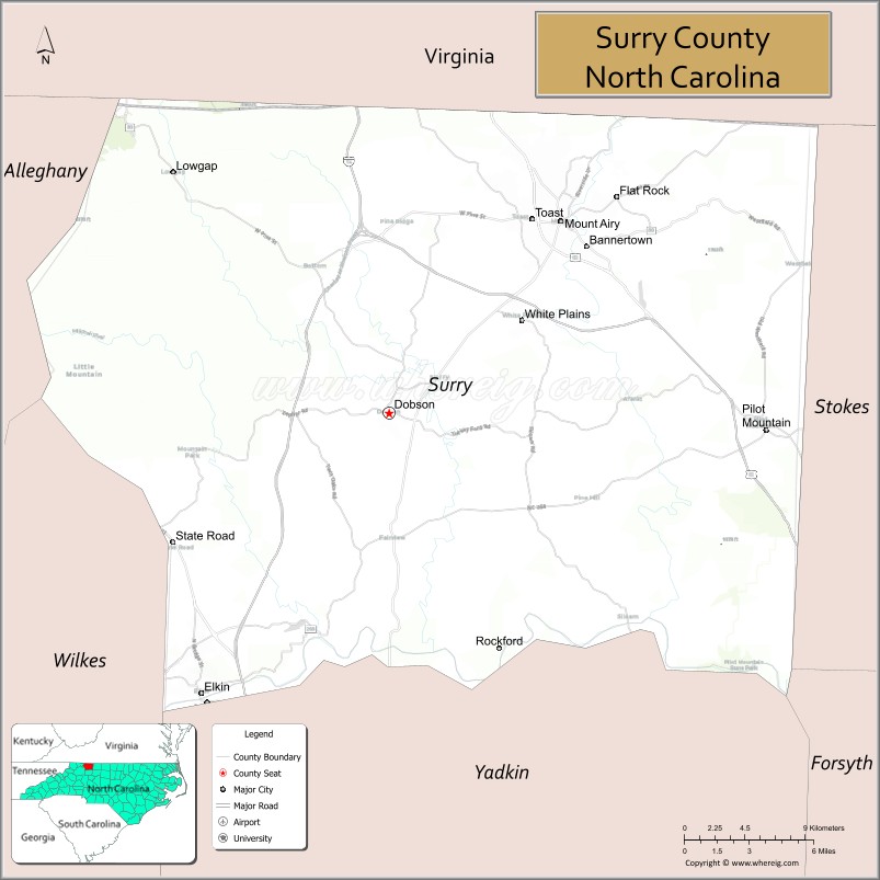
Surry County is a county located in the U.S. state of North Carolina. As of the 2020 census, the population was 71,359. Its county seat is Dobson, and its largest city is Mount Airy.
Surry county comprises the Mount Airy, NC Micropolitan Statistical Area, which is also included in the Greensboro–Winston-Salem–High Point, NC Combined Statistical Area.
| Name: | Surry County |
|---|---|
| FIPS code: | 37-171 |
| State: | North Carolina |
| Founded: | April 1, 1771 |
| Named for: | Surrey, England |
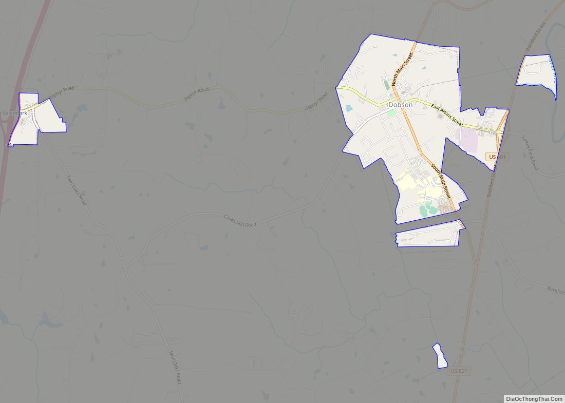
| Seat: | Dobson |
| Largest city: | Mount Airy |
| Total Area: | 536 sq mi (1,390 km²) |
| Land Area: | 532 sq mi (1,380 km²) |
| Total Population: | 71,152 |
| Population Density: | 133.7/sq mi (51.6/km²) |
| Time zone: | UTC−5 (Eastern) |
| Summer Time Zone (DST): | UTC−4 (EDT) |
| Website: | www.co.surry.nc.us |
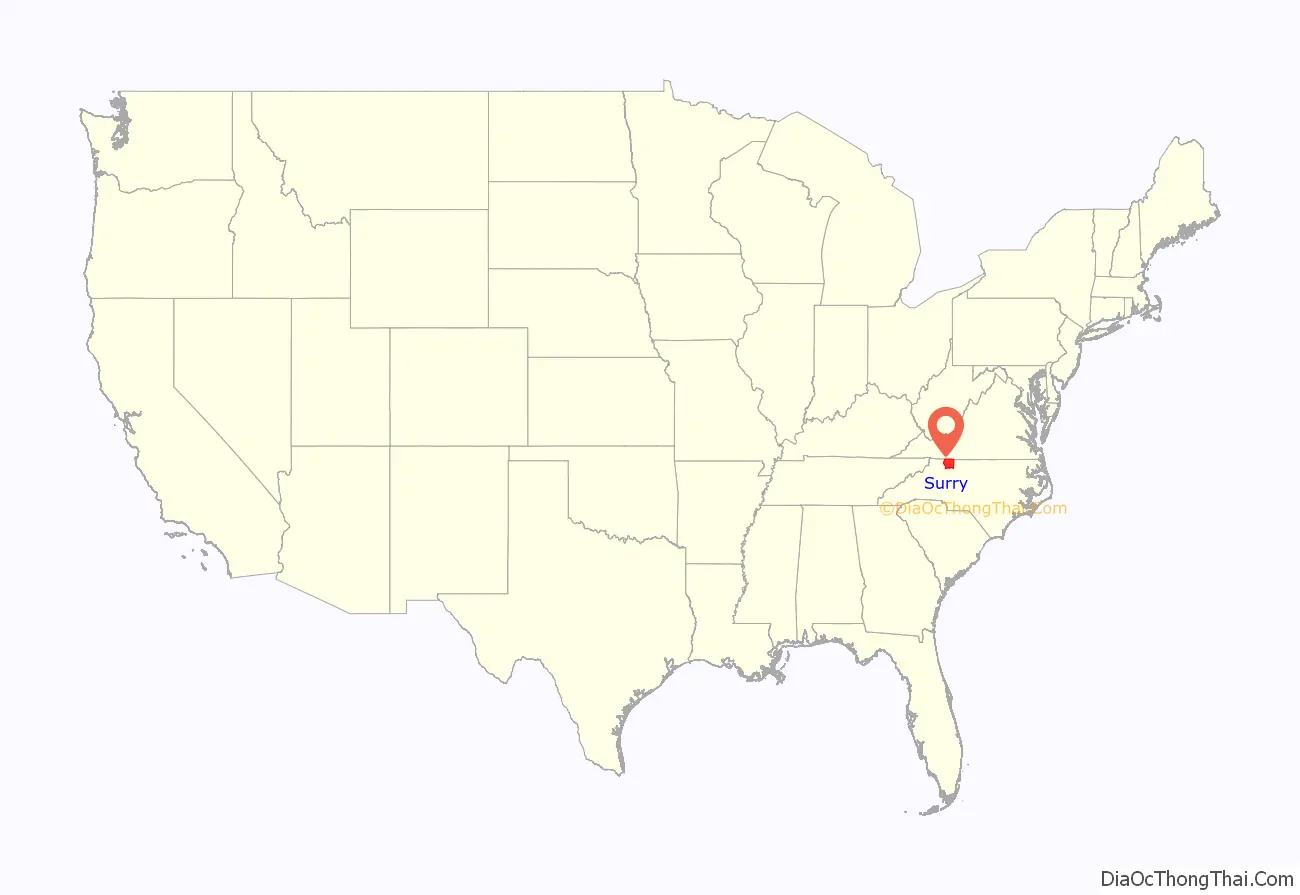
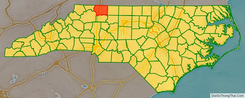
Surry County location map. Where is Surry County?
History
The county was formed in 1771 from Rowan County as part of the British Province of North Carolina. It was named for the county of Surrey in England, birthplace of William Tryon, Governor of North Carolina from 1765 to 1771.
In 1777 parts of Surry County and Washington District (now Washington County, Tennessee) were combined to form Wilkes County. The first permanent courthouse was established at Richmond in 1779, what is now the modern-day Old Richmond Township in Forsyth County near Donnaha. However, in 1789 the eastern half of Surry County became Stokes County, thus making the Richmond site unusable for either county. In 1790, the county seat was moved to Rockford where it remained for over half a century. In 1850 the half of the county’s remaining territory south of the Yadkin River became Yadkin County. The town of Dobson was established in 1853 to be the new county seat.
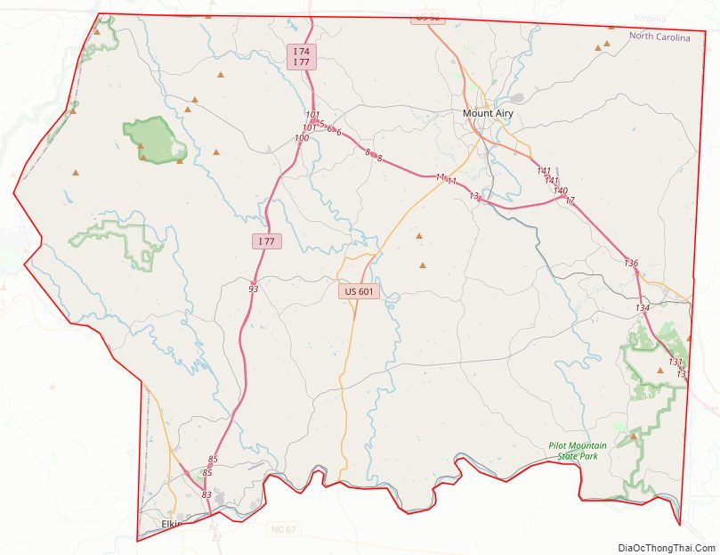
Surry County Road Map
Geography
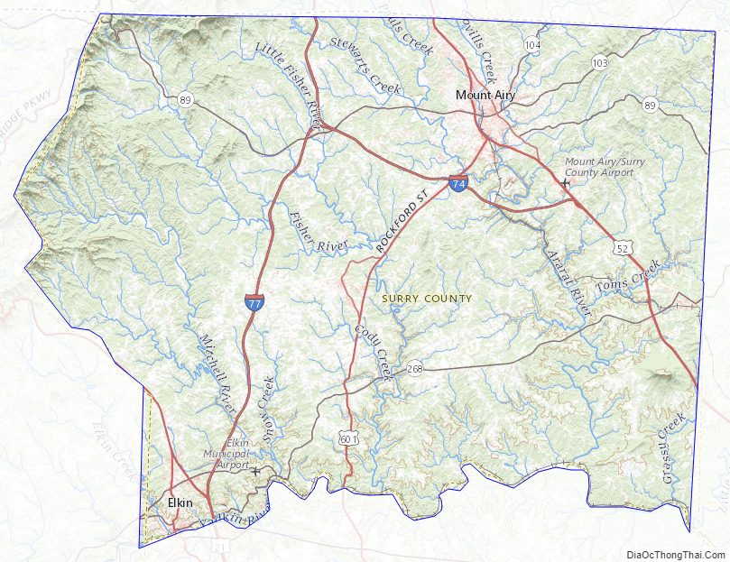
According to the U.S. Census Bureau, the county has a total area of 536 square miles (1,390 km), of which 532 square miles (1,380 km) is land and 4.1 square miles (11 km) (0.8%) is water.
The whole county is generally considered part of the Piedmont Triad metropolitan area. Surry County is located in the Yadkin Valley AVA, an American Viticultural Area. Wines made from grapes grown in Surry County may carry the appellation Yadkin Valley on their label.
Mountains
Surry County is located both within the Piedmont region of central North Carolina and in the Appalachian Mountains region of western North Carolina. Most of the eastern two-thirds of the county lies within the Piedmont, a region of gently rolling hills and valleys. However, the Piedmont of Surry County also contains a small portion of the Sauratown Mountains; Surry County marks the western end of the Sauratown Mountain range. The western third of the county lies within the Blue Ridge Mountains, and they dominate the county’s western horizon. The mountain passes (called “gaps” locally) are notorious for their occasional high winds, which can force automobiles and even large Eighteen wheeler trucks off the highways which lead through the passes. As a result, high wind advisories issued by the National Weather Service are not uncommon. The highest point in Surry County is Fisher Peak in the Blue Ridge; it rises to 3,570 feet (1,088 m) above sea level. However, the best-known peak in Surry County is not the highest. That honor goes to Pilot Mountain, an isolated monadnock and a North Carolina landmark. Pilot Mountain sharply rises some 2,421 feet (738 m) above the surrounding countryside, and can be seen for miles.
Another notable peak in Surry County is Cumberland Knob, in the northwestern corner of the county, which was the starting point of the construction of the Blue Ridge Parkway. The following table provides a list of some of the more prominent mountains of the county.
Major water bodies
- Ararat River
- Bear Creek
- Big Creek
- Camp Creek
- Fisher River
- Flat Shoal Creek (Ararat River tributary)
- Grassy Creek
- Hogan Creek
- King Creek
- Little Fisher Creek
- Mill Creek
- Mitchell River
- Pauls Creek (Stewarts Creek tributary)
- Pheasant Creek (Fisher River tributary)
- Pilot Creek (Ararat River tributary)
- Ramey Creek
- Stewarts Creek (Ararat River tributary)
- Toms Creek (Ararat River tributary)
- Yadkin River
While there are many creeks and streams in Surry County, there are three recognized major rivers in the county, the Ararat, the Fisher, and the Mitchell. All three flow southward and are tributaries of the Yadkin River, which forms the southern border of Surry County. The Yadkin River is the northern component of the Pee Dee River which flows to the Atlantic Ocean near Georgetown, South Carolina.
National protected area
- Blue Ridge Parkway (part)
State and local protected areas/sites
- Cumberland Knob Recreation Area (part)
- Horne Creek Living Historical Farm
- Pilot Mountain State Park
- Raven Knob Scout Reservation (part)
Adjacent counties
- Patrick County, Virginia – north
- Carroll County, Virginia – north
- Grayson County, Virginia – north
- Stokes County – east
- Forsyth County – southeast
- Yadkin County – south
- Wilkes County – southwest
- Alleghany County – west
Major highways
- I-74 / Future I-74 (Route Designated from the State boarder with Virginia to Exit 17)
- I-77
- US 21
- US 21 Bus.
- US 52
- US 52 Bus.
- US 601
- US 601 Bus.
- NC 18
- NC 89
- NC 103
- NC 104
- NC 268
- NC 268 Bus.
Major infrastructure
- Mount Airy/Surry County Airport
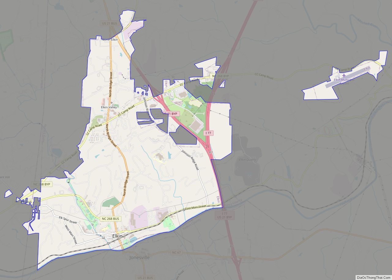
- Elkin Municipal Airport
Surry County Topographic Map
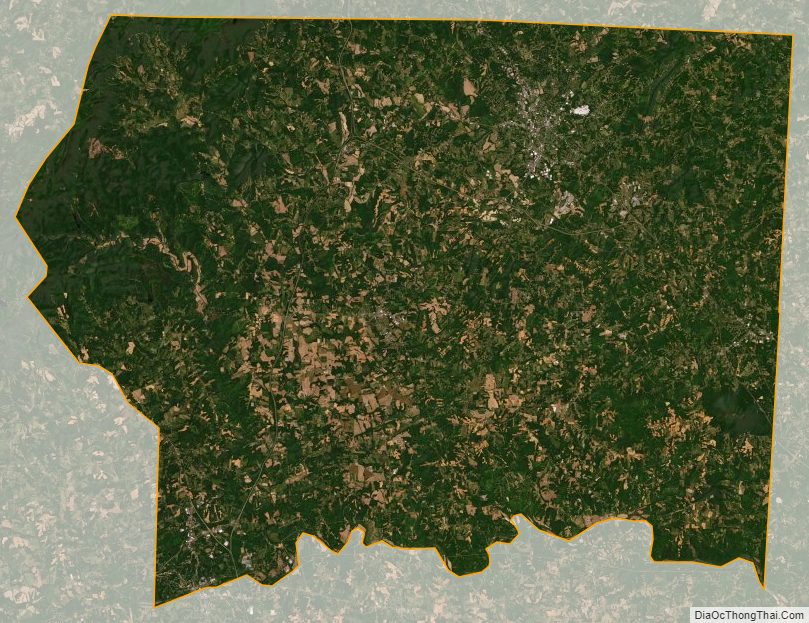
Surry County Satellite Map
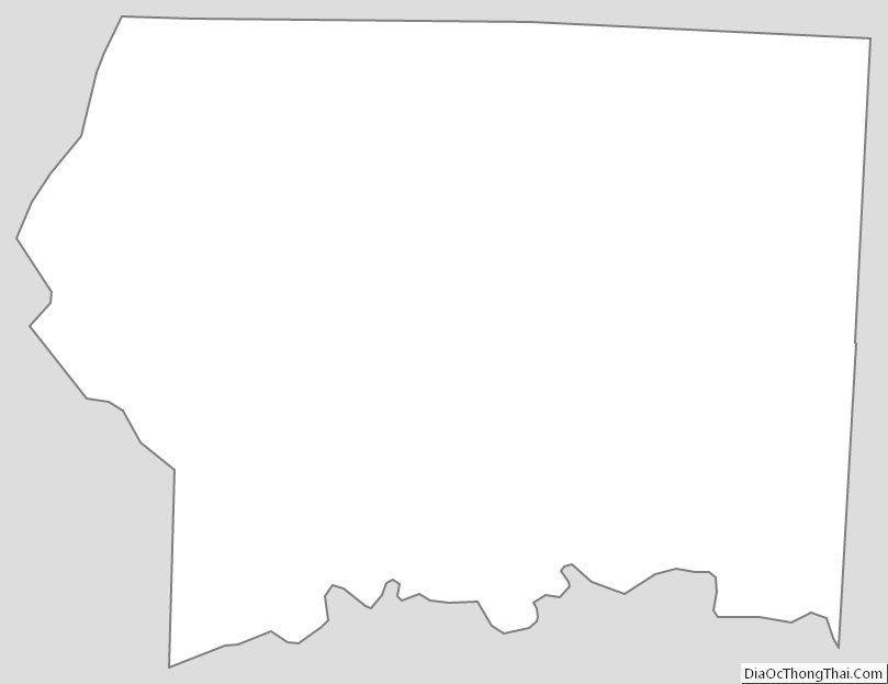
Surry County Outline Map