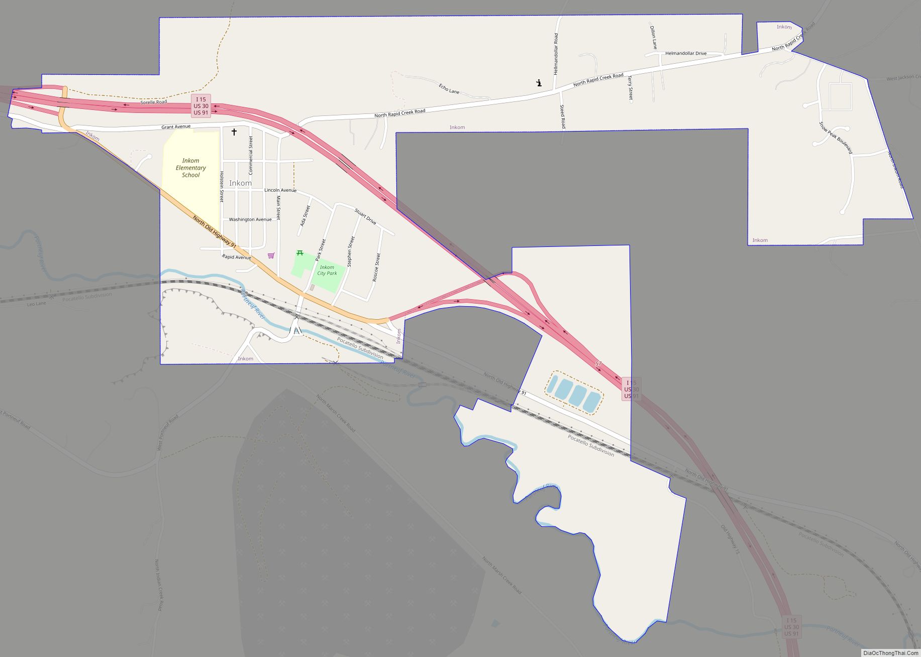
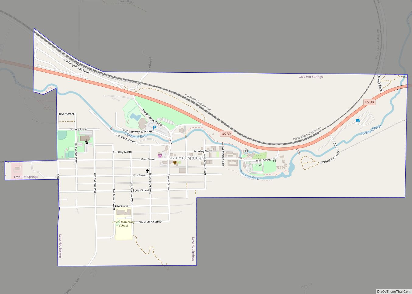
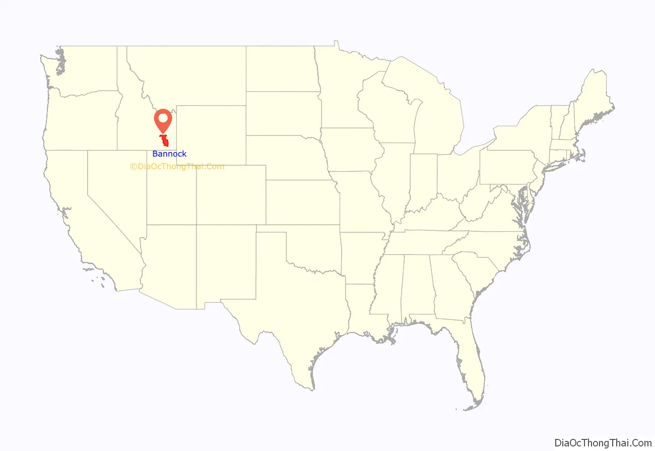
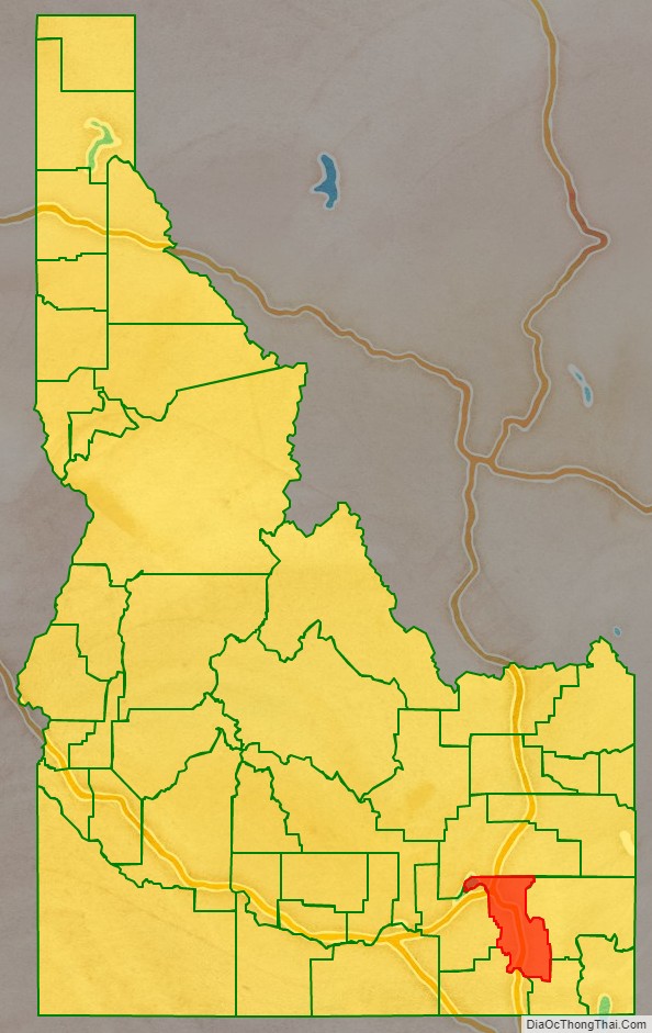
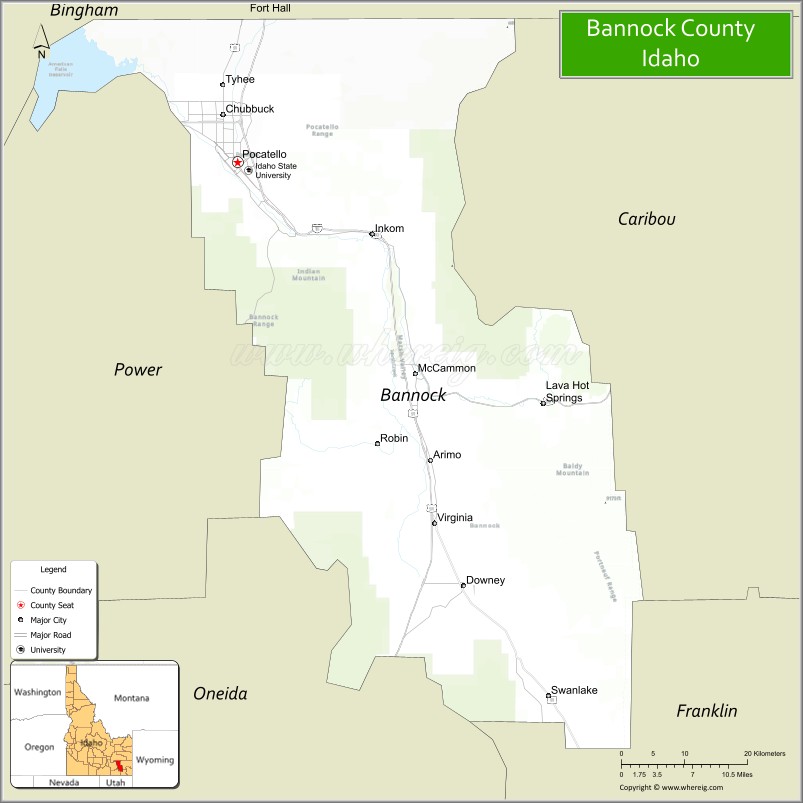
Bannock County is a county in the southeastern part of Idaho. As of the 2020 Census, the population was 87,018, making it the sixth-most populous county in Idaho. The county seat and largest city is Pocatello. The county was established in 1893 and named after the local Bannock tribe. It is one of the counties with territories included in the Fort Hall Indian Reservation of the federally recognized Shoshone-Bannock Tribes.
| Name: | Bannock County |
|---|---|
| FIPS code: | 16-005 |
| State: | Idaho |
| Founded: | March 6, 1893 |
| Named for: | Bannock tribe |
| Seat: | Pocatello |
| Largest city: | Pocatello |
| Total Area: | 1,147 sq mi (2,970 km²) |
| Land Area: | 1,112 sq mi (2,880 km²) |
| Total Population: | 87,018 |
| Population Density: | 76/sq mi (29/km²) |
| Time zone: | UTC−7 (Mountain) |
| Summer Time Zone (DST): | UTC−6 (MDT) |
| Website: | www.bannockcounty.us |
Bannock County location map. Where is Bannock County?
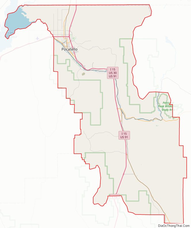
Bannock County Road Map
Geography
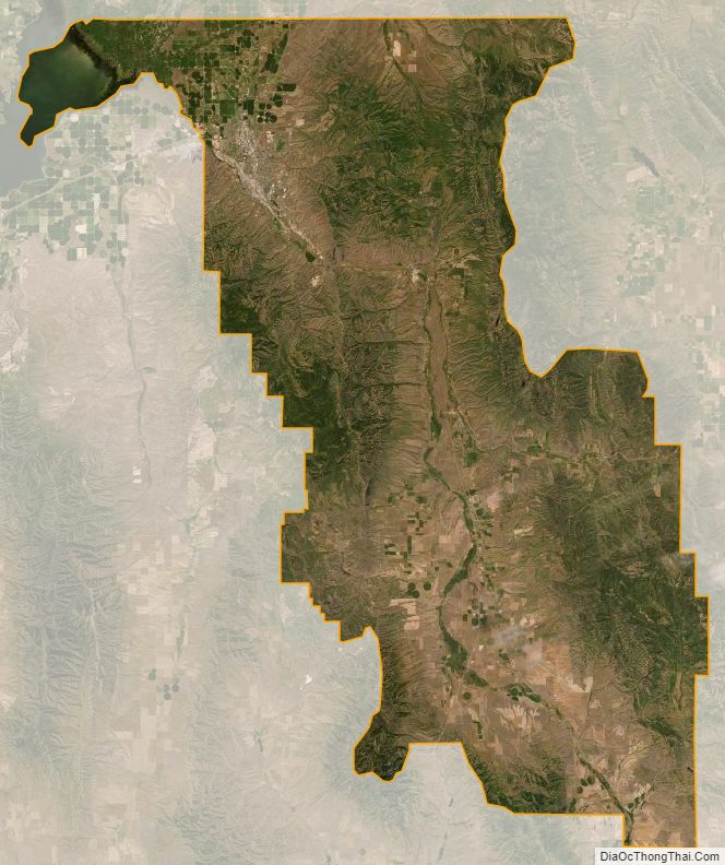
According to the U.S. Census Bureau, the county has a total area of 1,147 square miles (2,970 km), of which 1,112 square miles (2,880 km) is land and 35 square miles (91 km) (3.1%) is water. The Portneuf River flows through the county, meeting the Snake River (the American Falls Reservoir) at the county’s lowest point, its northwestern corner. Bonneville Peak, on the eastern border in the Portneuf Range, is the county’s highest point at 9,271 feet (2825 m) ASL; on its western slopes is the Pebble Creek ski area.
Adjacent counties
- Bingham County – north
- Caribou County – east
- Franklin County – southeast
- Oneida County – southwest
- Power County – west
Highways
- – Interstate 15
- – Interstate 86
- – US 30
- – US 91
- – SH-40
National protected area
- Caribou National Forest (part)
Bannock County Topographic Map
Bannock County Satellite Map
Bannock County Outline Map