Pocatello (/ˈpoʊkəˈtɛloʊ/ (listen)) is the county seat and largest city of Bannock County, with a small portion on the Fort Hall Indian Reservation in neighboring Power County, in the southeastern part of the U.S. state of Idaho. It is the principal city of the Pocatello metropolitan area, which encompasses all of Bannock County. As of the 2020 census, the population of Pocatello was 56,320.
Pocatello is the fifth-largest city in the state, just behind Idaho Falls. In 2007, Pocatello was ranked twentieth on Forbes’ list of Best Small Places for Business and Careers. Pocatello is the home of Idaho State University and the manufacturing facility of ON Semiconductor. The city is at an elevation of 4,462 feet (1.360 km) above sea level and is served by the Pocatello Regional Airport.
| Name: | Pocatello city |
|---|---|
| LSAD Code: | 25 |
| LSAD Description: | city (suffix) |
| State: | Idaho |
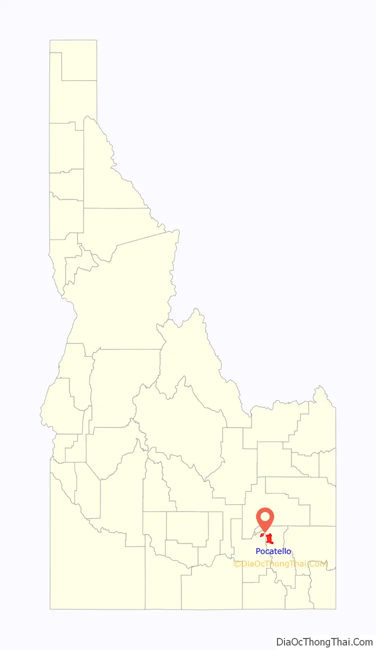
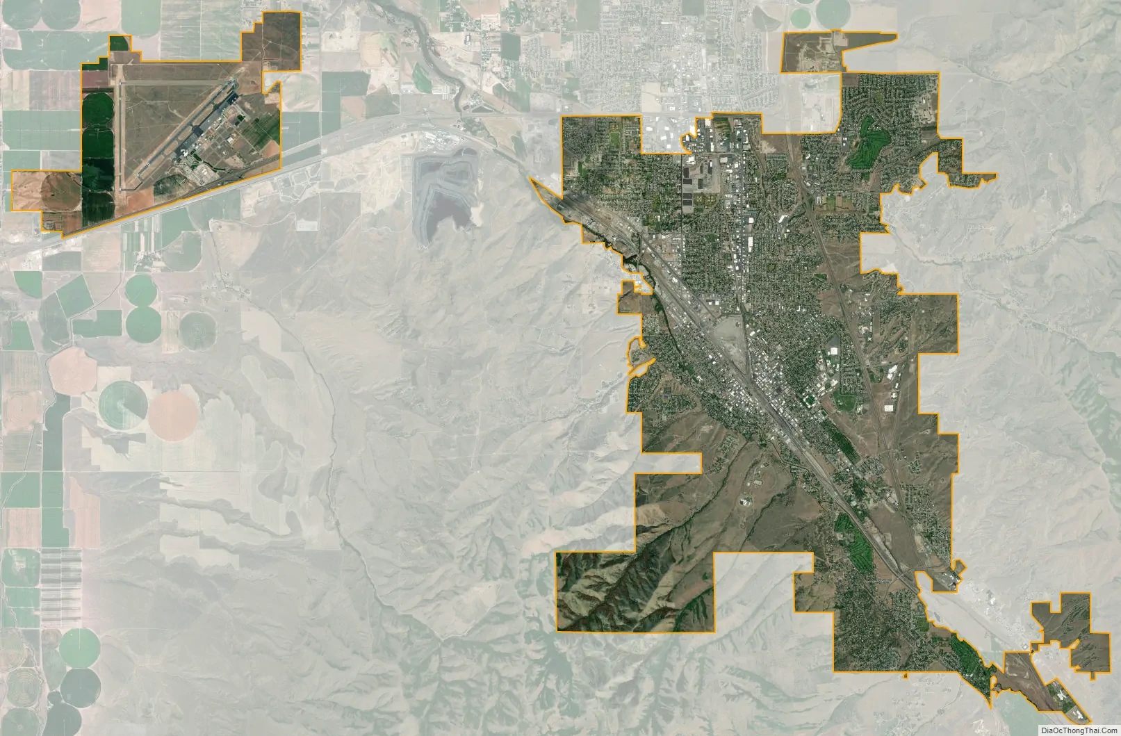
| County: | Bannock County, Power County |
| Elevation: | 4,462 ft (1,360 m) |
| Land Area: | 33.24 sq mi (86.09 km²) |
| Water Area: | 0.16 sq mi (0.41 km²) |
| Population Density: | 1,703.83/sq mi (657.84/km²) |
| ZIP code: | 83201 |
| Area code: | 208, 986 |
| FIPS code: | 1664090 |
| GNISfeature ID: | 0397053 |
| Website: | pocatello.gov |
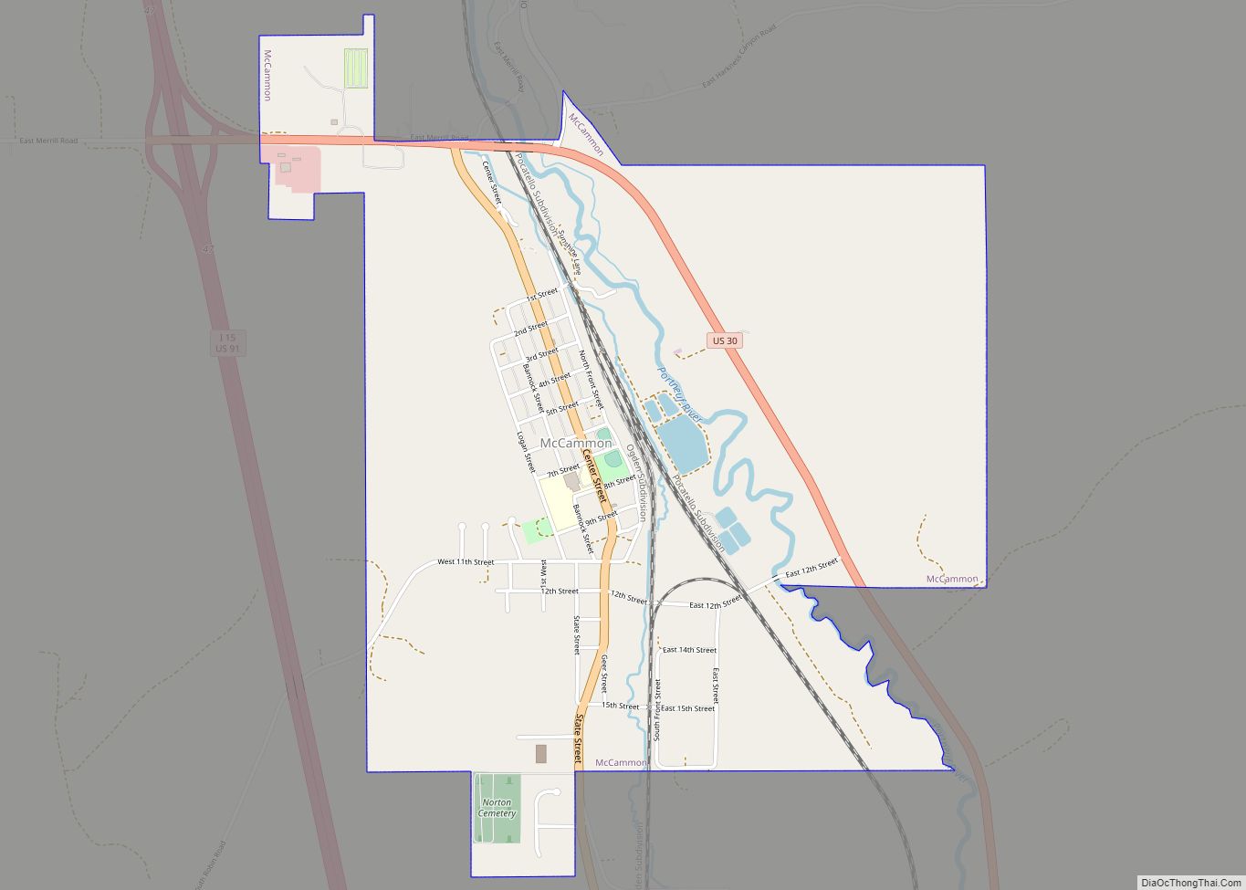
Online Interactive Map
Click on ![]() to view map in "full screen" mode.
to view map in "full screen" mode.
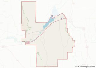
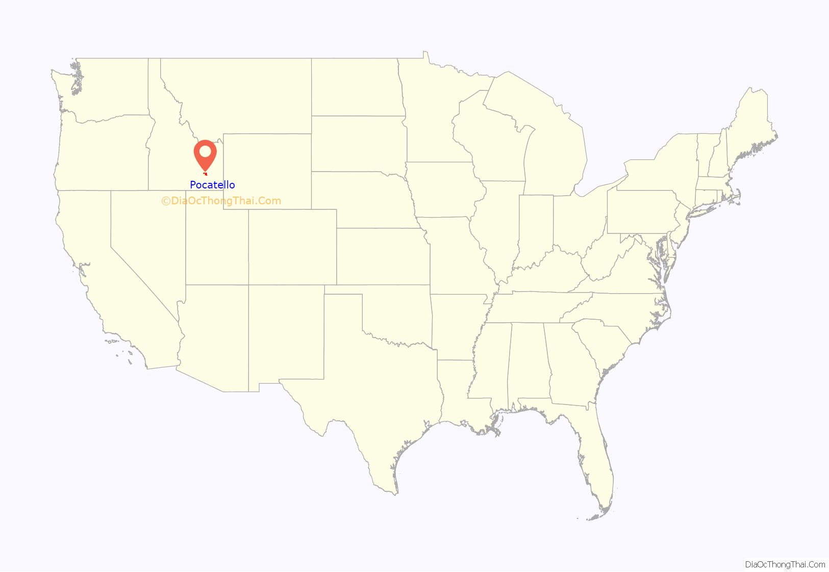
Pocatello location map. Where is Pocatello city?
History
Indigenous tribes
Shoshone and Bannock Indigenous tribes inhabited southeastern Idaho for hundreds of years before the trek by Lewis and Clark across Idaho in 1805. Their reports of the many riches of the region attracted fur trappers and traders to southeastern Idaho. The city is named after Chief Pocatello, a 19th-century Shoshone leader.
Permanent settlements
Nathaniel Wyeth of Massachusetts established one of the first permanent settlements at Fort Hall in 1834, which is only a few miles northeast of Pocatello. When over-trapping and a shift in fashion to silk hats put an end to the fur trade, Fort Hall became a supply point for immigrants traveling the Oregon Trail.
Although thousands of immigrants passed through Idaho, it was not until the discovery of gold in 1860 that Idaho attracted settlers in large numbers. The gold rush brought a need for goods and services to many towns, and the Portneuf Valley, home of Pocatello, was the corridor initially used by stage and freight lines. The coming of the railroad provided further development of Idaho’s mineral resources and “Pocatello junction” became an important transportation crossroads as the Union Pacific Railroad expanded its service.
Gateway to the Northwest
After its founding in 1889, Pocatello became known as the “Gateway to the Northwest”. As pioneers, gold miners and settlers traveled the Oregon Trail, they passed through the Portneuf Gap south of town. Stage and freight lines and the railroad soon followed, turning the community into a trade center and transportation junction.
Gold rush and agriculture
After the gold rush played out, the settlers who remained turned to agriculture. With the help of irrigation from the nearby Snake River, the region became a large supplier of potatoes, grain and other crops. Residential and commercial development gradually appeared by 1882.
Alameda consolidation
The adjacent city of Alameda was consolidated into Pocatello in 1962, Chubbuck, further north, opposed a similar merger and remained a separate municipality. In the 1960 census, Alameda had a population of 10,660 and Pocatello was at 28,534; the consolidation made Pocatello the state’s largest city based on those numbers, passing Boise and Idaho Falls.
Flag
The Pocatello flag used from 2001 to 2017 was considered by the North American Vexillological Association to be the worst city flag in North America. In April 2016, the city’s newly created flag design committee met for the first time. Attending the meeting was Roman Mars – whose 2015 TED Talk made Pocatello’s flag infamous. On July 20, 2017, after a year and a half of work by the flag committee, the Pocatello City Council approved the adoption of a new flag with the informal name of “Mountains Left” out of a total of 709 designs.
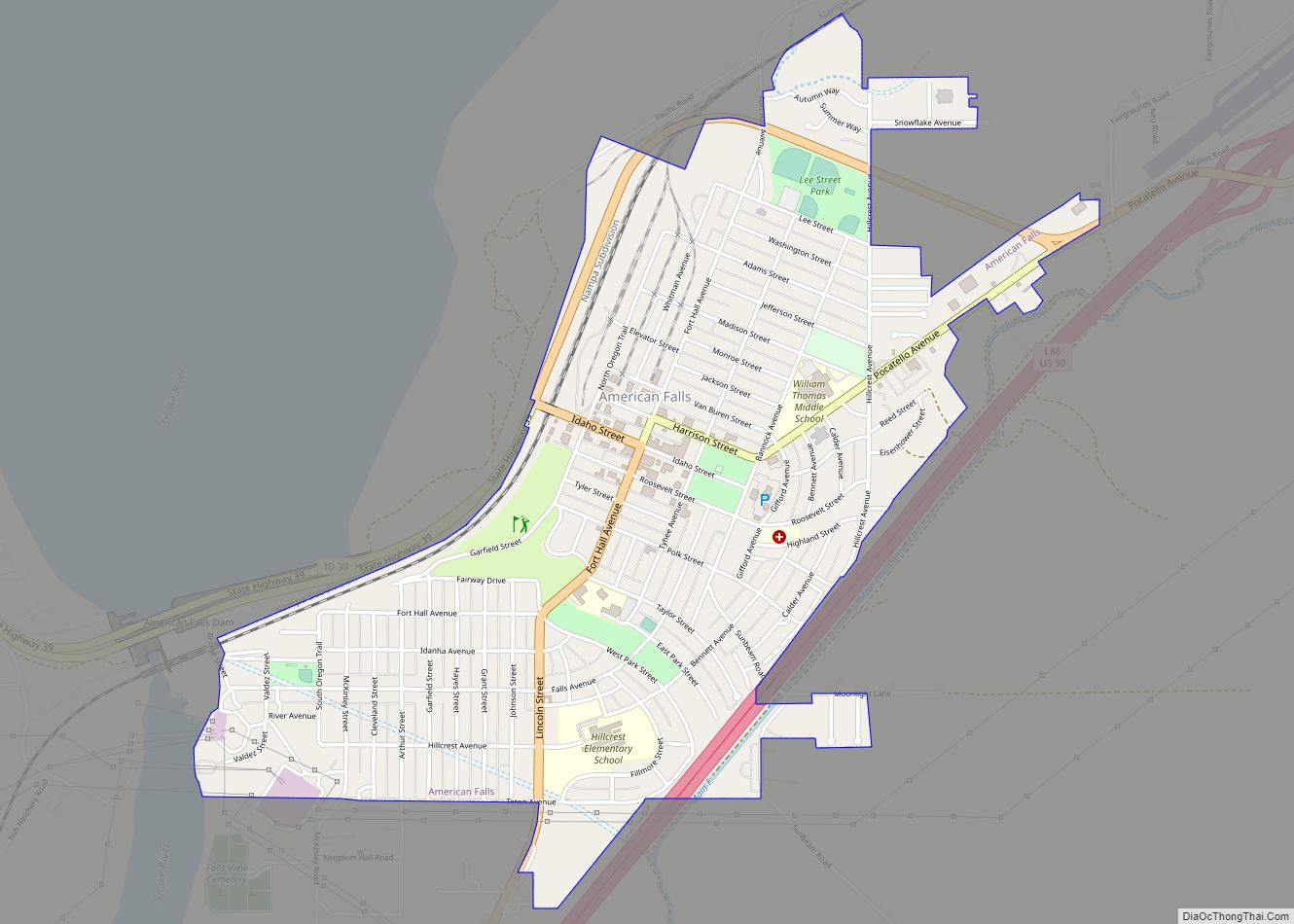
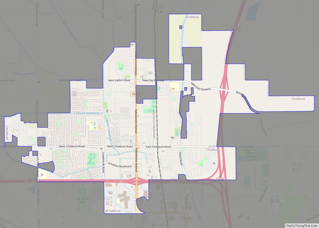
Pocatello Road Map
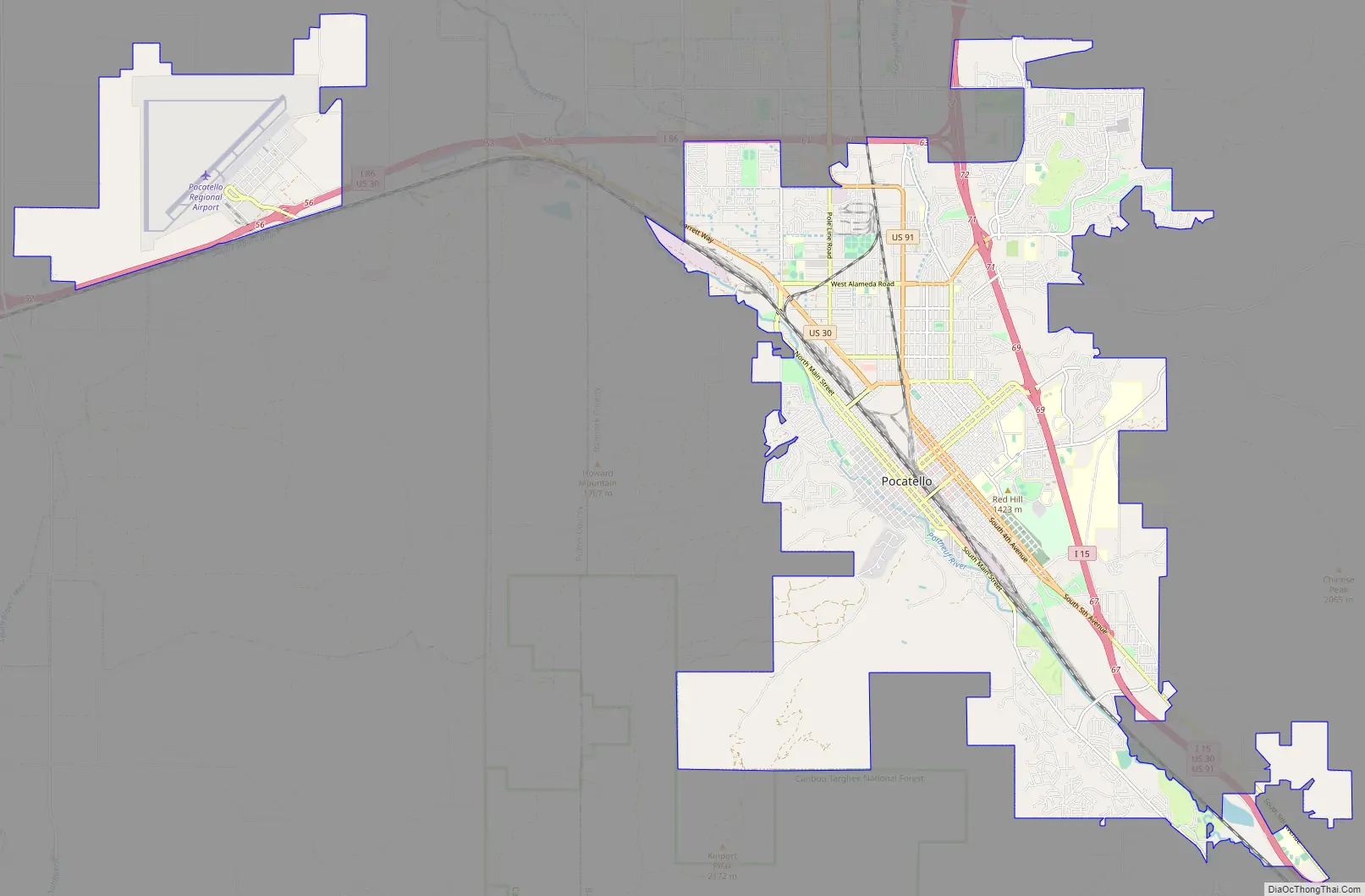
Pocatello city Satellite Map
Geography
According to the United States Census Bureau, the city has a total area of 32.38 square miles (83.86 km), of which 32.22 square miles (83.45 km) is land and 0.16 square miles (0.41 km) is water.
A main water feature of Pocatello is the Portneuf River, which runs southeast to northwest on the western side of the city. Since 1992, the city and the Portneuf Greenway Foundation [1] have worked to create a system of trails that follow the river and connect to other trails in the greater Portneuf Valley. Currently, 15+ miles of trails have been constructed with 27 planned total miles.
Climate
According to the Köppen Climate Classification system, Pocatello has a warm-summer humid continental climate, abbreviated “Dfb” on climate maps. The hottest temperature recorded in Pocatello was 104 °F (40 °C) on August 2, 1969, August 8, 1990, July 22, 2000, and July 31, 2020, while the coldest temperature recorded was −33 °F (−36 °C) on February 1, 1985.
See also
Map of Idaho State and its subdivision:- Ada
- Adams
- Bannock
- Bear Lake
- Benewah
- Bingham
- Blaine
- Boise
- Bonner
- Bonneville
- Boundary
- Butte
- Camas
- Canyon
- Caribou
- Cassia
- Clark
- Clearwater
- Custer
- Elmore
- Franklin
- Fremont
- Gem
- Gooding
- Idaho
- Jefferson
- Jerome
- Kootenai
- Latah
- Lemhi
- Lewis
- Lincoln
- Madison
- Minidoka
- Nez Perce
- Oneida
- Owyhee
- Payette
- Power
- Shoshone
- Teton
- Twin Falls
- Valley
- Washington
- Alabama
- Alaska
- Arizona
- Arkansas
- California
- Colorado
- Connecticut
- Delaware
- District of Columbia
- Florida
- Georgia
- Hawaii
- Idaho
- Illinois
- Indiana
- Iowa
- Kansas
- Kentucky
- Louisiana
- Maine
- Maryland
- Massachusetts
- Michigan
- Minnesota
- Mississippi
- Missouri
- Montana
- Nebraska
- Nevada
- New Hampshire
- New Jersey
- New Mexico
- New York
- North Carolina
- North Dakota
- Ohio
- Oklahoma
- Oregon
- Pennsylvania
- Rhode Island
- South Carolina
- South Dakota
- Tennessee
- Texas
- Utah
- Vermont
- Virginia
- Washington
- West Virginia
- Wisconsin
- Wyoming