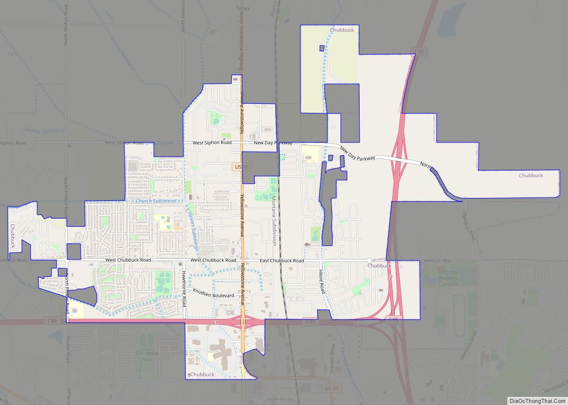
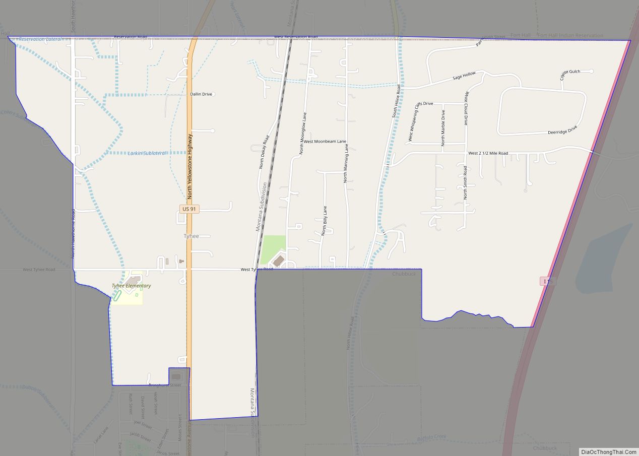
Chubbuck is a city in Bannock County, Idaho. It is part of the Pocatello Metropolitan Statistical Area. The population was 13,922 at the 2010 census. Chubbuck is located immediately north of Pocatello, Idaho, and has opposed several consolidation proposals since the 1960s.
| Name: | Chubbuck city |
|---|---|
| LSAD Code: | 25 |
| LSAD Description: | city (suffix) |
| State: | Idaho |
| County: | Bannock County |
| Elevation: | 4,472 ft (1,363 m) |
| Total Area: | 5.91 sq mi (15.30 km²) |
| Land Area: | 5.90 sq mi (15.28 km²) |
| Water Area: | 0.01 sq mi (0.03 km²) |
| Total Population: | 13,922 |
| Population Density: | 2,642.48/sq mi (1,020.21/km²) |
| ZIP code: | 83202 |
| Area code: | 208, 986 |
| FIPS code: | 1614680 |
| GNISfeature ID: | 0396285 |
| Website: | www.cityofchubbuck.us |
Online Interactive Map
Click on ![]() to view map in "full screen" mode.
to view map in "full screen" mode.
Chubbuck location map. Where is Chubbuck city?
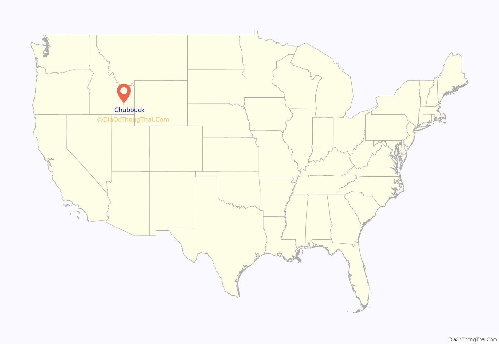
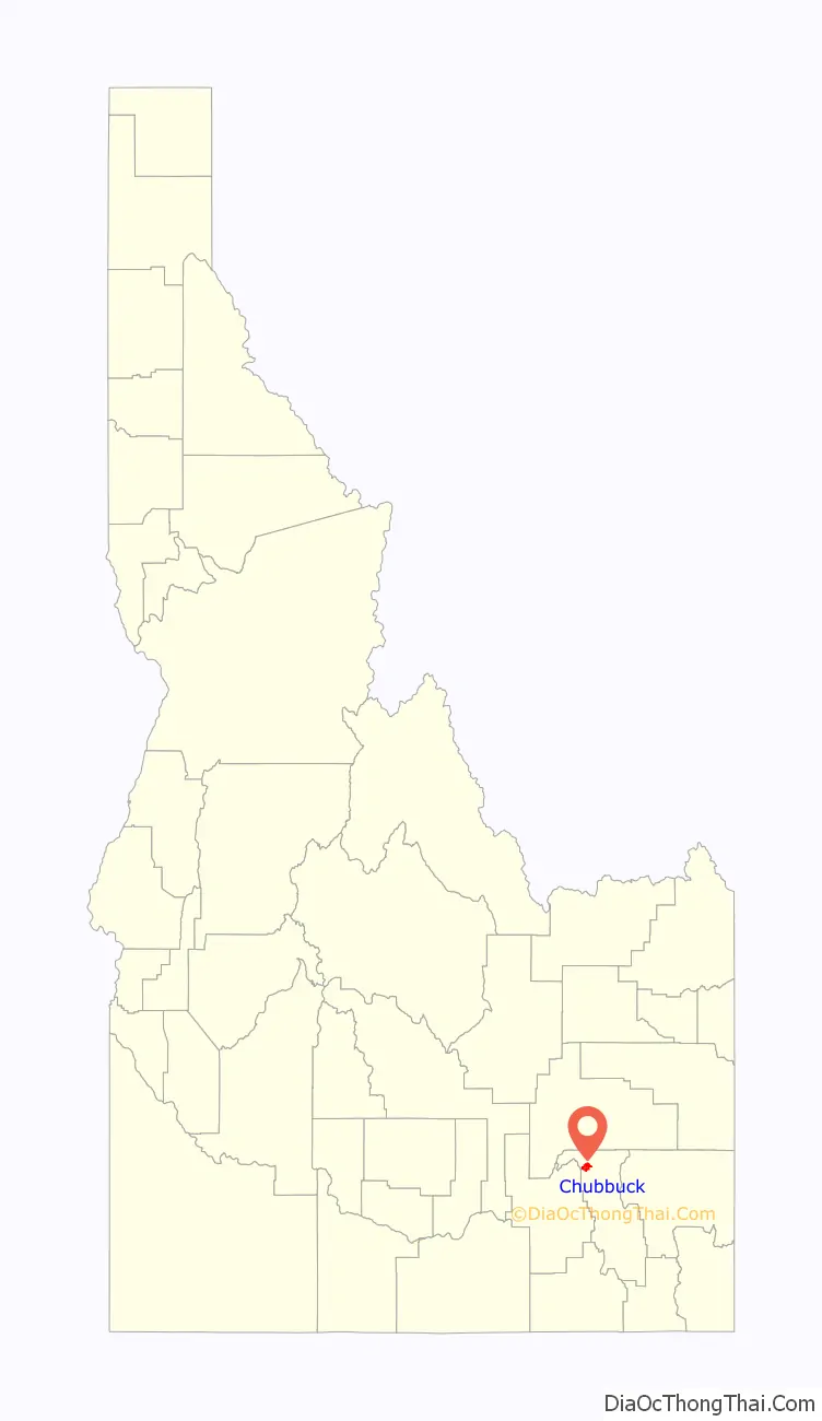
Chubbuck Road Map

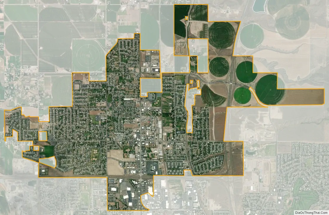
Chubbuck city Satellite Map
Geography
Chubbuck is located at 42°55′18″N 112°28′3″W / 42.92167°N 112.46750°W / 42.92167; -112.46750 (42.921648, -112.467416), at an elevation of 4,472 feet (1,363 m) above sea level.
According to the United States Census Bureau, the city has a total area of 4.20 square miles (10.88 km), of which, 4.19 square miles (10.85 km) is land and 0.01 square miles (0.03 km) is water.
The area’s main shopping mall is Pine Ridge Mall.
See also
Map of Idaho State and its subdivision:- Ada
- Adams
- Bannock
- Bear Lake
- Benewah
- Bingham
- Blaine
- Boise
- Bonner
- Bonneville
- Boundary
- Butte
- Camas
- Canyon
- Caribou
- Cassia
- Clark
- Clearwater
- Custer
- Elmore
- Franklin
- Fremont
- Gem
- Gooding
- Idaho
- Jefferson
- Jerome
- Kootenai
- Latah
- Lemhi
- Lewis
- Lincoln
- Madison
- Minidoka
- Nez Perce
- Oneida
- Owyhee
- Payette
- Power
- Shoshone
- Teton
- Twin Falls
- Valley
- Washington
- Alabama
- Alaska
- Arizona
- Arkansas
- California
- Colorado
- Connecticut
- Delaware
- District of Columbia
- Florida
- Georgia
- Hawaii
- Idaho
- Illinois
- Indiana
- Iowa
- Kansas
- Kentucky
- Louisiana
- Maine
- Maryland
- Massachusetts
- Michigan
- Minnesota
- Mississippi
- Missouri
- Montana
- Nebraska
- Nevada
- New Hampshire
- New Jersey
- New Mexico
- New York
- North Carolina
- North Dakota
- Ohio
- Oklahoma
- Oregon
- Pennsylvania
- Rhode Island
- South Carolina
- South Dakota
- Tennessee
- Texas
- Utah
- Vermont
- Virginia
- Washington
- West Virginia
- Wisconsin
- Wyoming