| Name: | Buchanan County |
|---|---|
| FIPS code: | 19-019 |
| State: | Iowa |
| Founded: | 1837 |
| Named for: | James Buchanan |
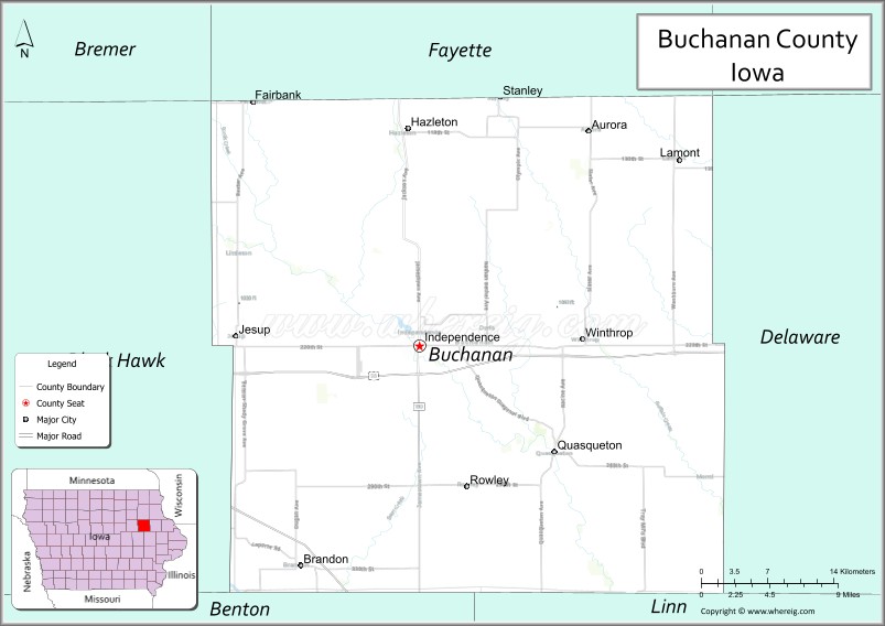
| Seat: | Independence |
| Largest city: | Independence |
| Total Area: | 573 sq mi (1,480 km²) |
| Land Area: | 571 sq mi (1,480 km²) |
| Total Population: | 20,565 |
| Population Density: | 36/sq mi (14/km²) |
| Time zone: | UTC−6 (Central) |
| Summer Time Zone (DST): | UTC−5 (CDT) |
| Website: | www.buchanancountyiowa.org |
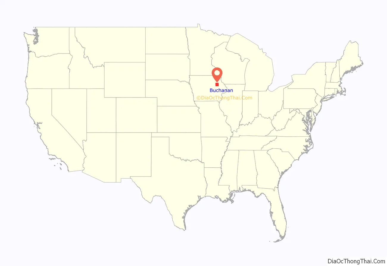
Buchanan County location map. Where is Buchanan County?
History
Buchanan County was formed on December 21, 1837, from parts of Dubuque County. It was named after US Senator James Buchanan, who would later go on to be President of the United States.
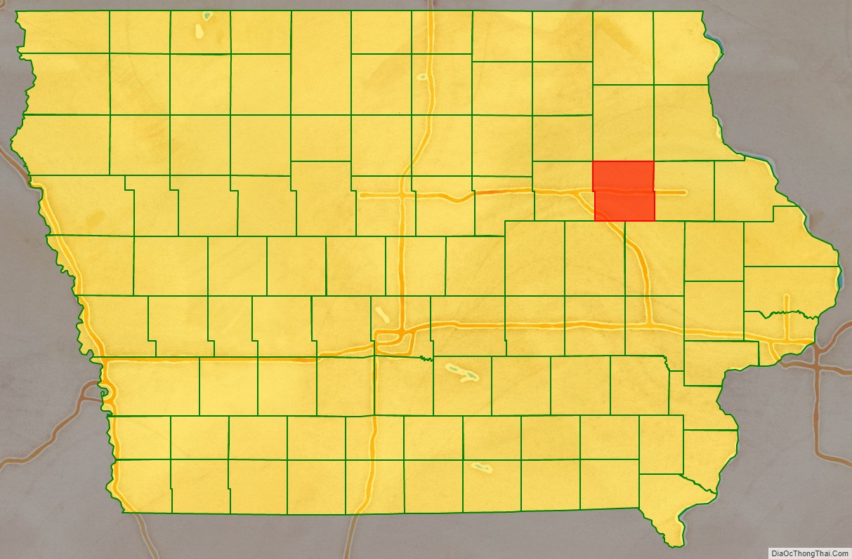
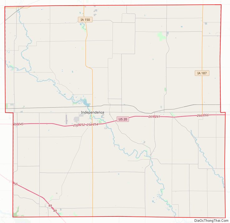
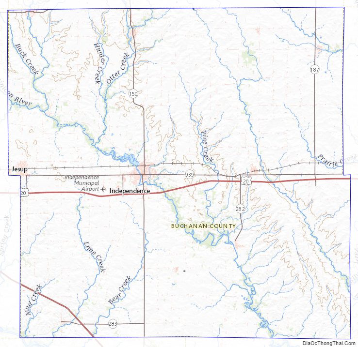
Buchanan County Road Map
Geography
According to the U.S. Census Bureau, the county has a total area of 573 square miles (1,480 km), of which 571 square miles (1,480 km) is land and 2.1 square miles (5.4 km) (0.4%) is water.
Major highways
- Interstate 380
- U.S. Highway 20
- Iowa Highway 27
- Iowa Highway 150
- Iowa Highway 187
- Iowa Highway 281
Adjacent counties
- Clayton County (northeast)
- Fayette County (north)
- Delaware County (east)
- Linn County (southeast)
- Benton County (southwest)
- Black Hawk County (west)
- Bremer County (northwest)
Buchanan County Topographic Map
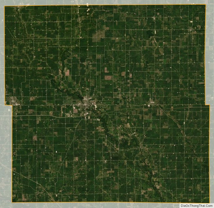
Buchanan County Satellite Map
Buchanan County Outline Map