Custer County is a county located in the U.S. state of Montana. As of the 2020 census, the population was 11,867. Its county seat is Miles City. The county was established on June 2, 1865 as one of the nine original counties of the Territory of Montana named Big Horn County, and was renamed on February 16, 1877 in honor of Lieutenant Colonel George Armstrong Custer.
| Name: | Custer County |
|---|---|
| FIPS code: | 30-017 |
| State: | Montana |
| Founded: | June 2, 1865 |
| Named for: | George Armstrong Custer |
| Seat: | Miles City |
| Largest city: | Miles City |
| Total Area: | 3,793 sq mi (9,820 km²) |
| Land Area: | 3,783 sq mi (9,800 km²) |
| Total Population: | 11,867 |
| Population Density: | 3.1/sq mi (1.2/km²) |
| Time zone: | UTC−7 (Mountain) |
| Summer Time Zone (DST): | UTC−6 (MDT) |
| Website: | ccsomt.com |
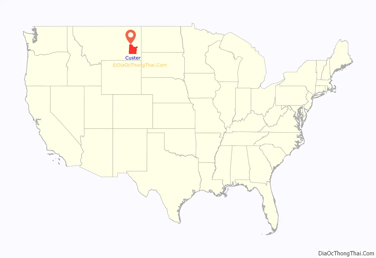
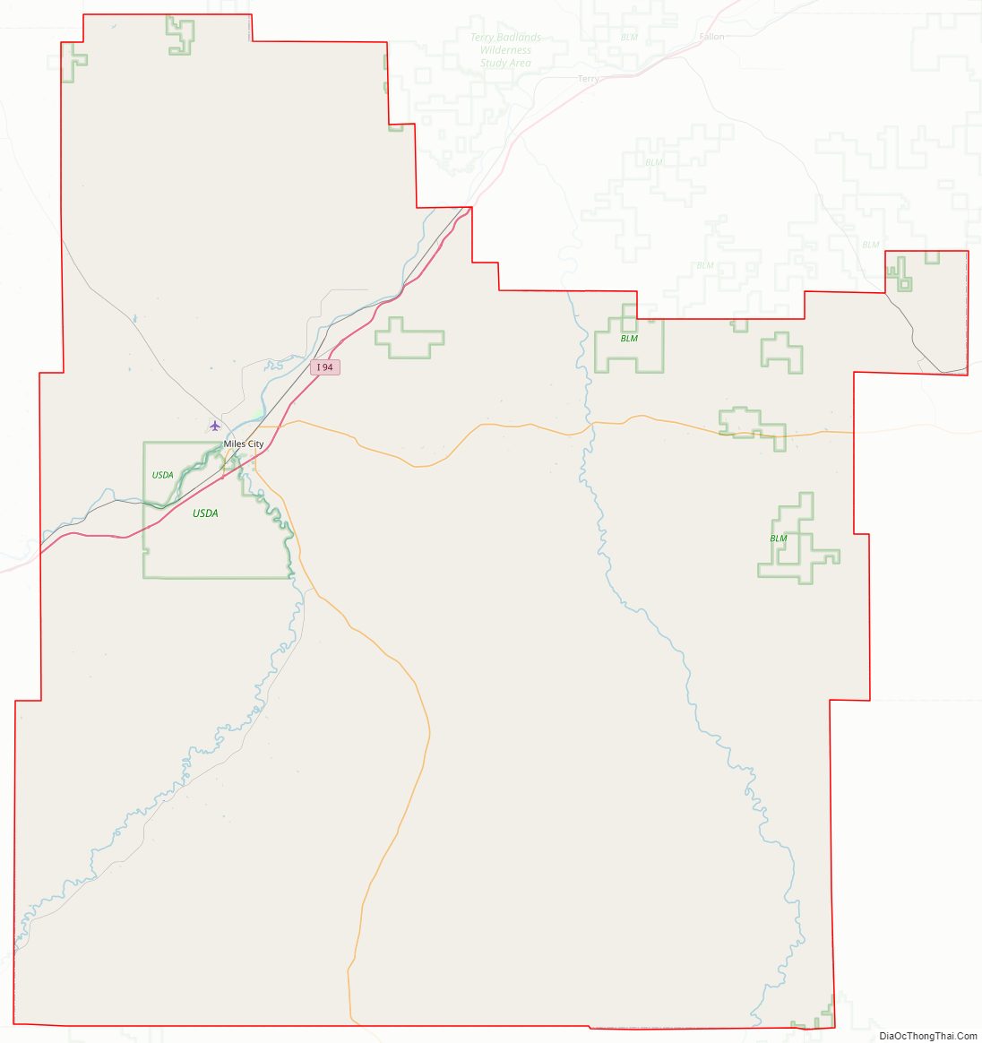
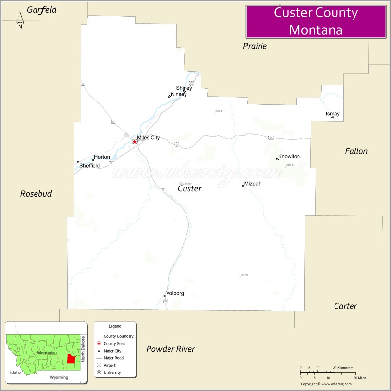
Custer County location map. Where is Custer County?
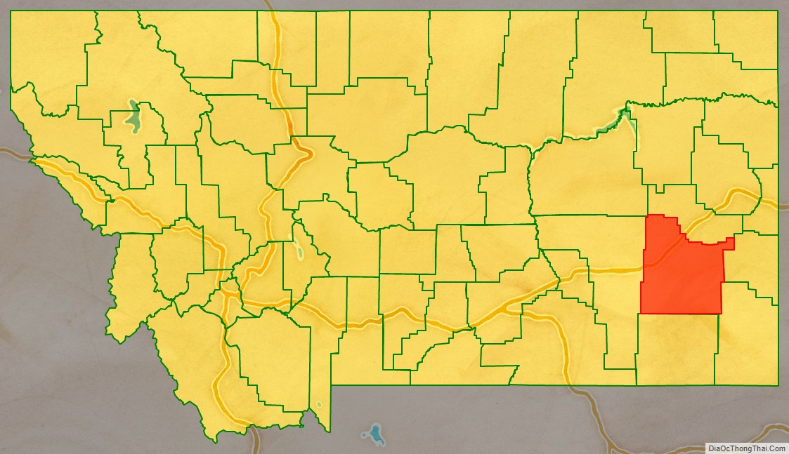
Custer County Road Map
Geography
According to the United States Census Bureau, the county has a total area of 3,793 square miles (9,820 km), of which 3,783 square miles (9,800 km) is land and 9.9 square miles (26 km) (0.3%) is water.
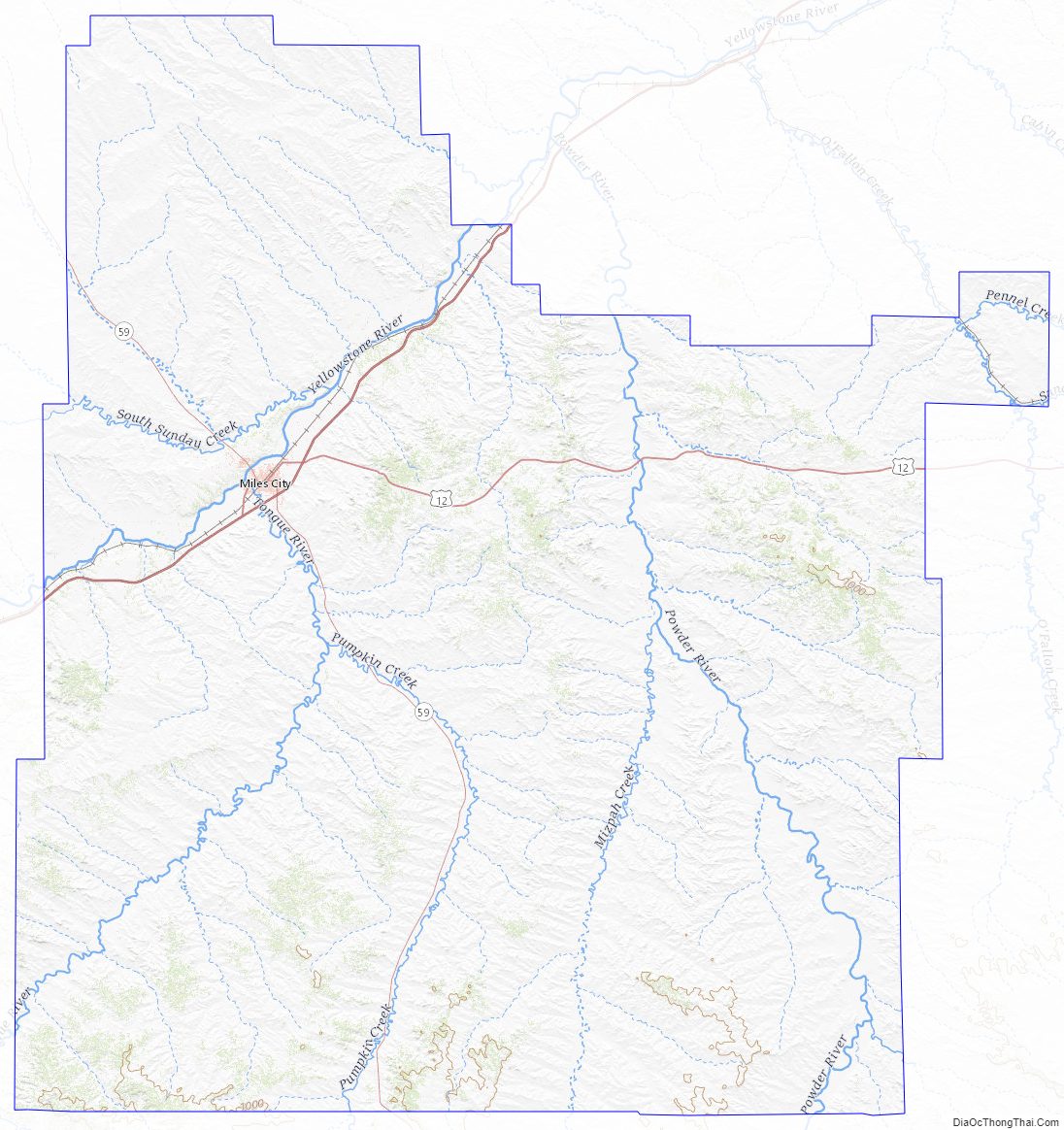
Custer County Topographic Map
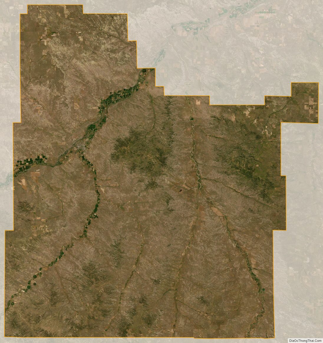
Custer County Satellite Map
Custer County Outline Map