Big Horn County is a county located in the U.S. state of Montana. As of the 2020 census, the population was 13,124. The county seat is Hardin. The county, like the river and the mountain range, is named after the bighorn sheep in the Rocky Mountains. The county was founded in 1913. It is located on the south line of the state.
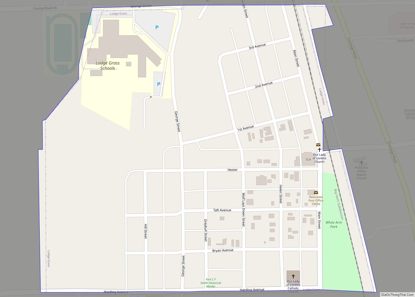
Most of the area is part of the Crow Indian Reservation. Reservation poverty affects the county, which is the second-poorest county in the state.
| Name: | Big Horn County |
|---|---|
| FIPS code: | 30-003 |
| State: | Montana |
| Founded: | January 13, 1913 |
| Named for: | Bighorn sheep |
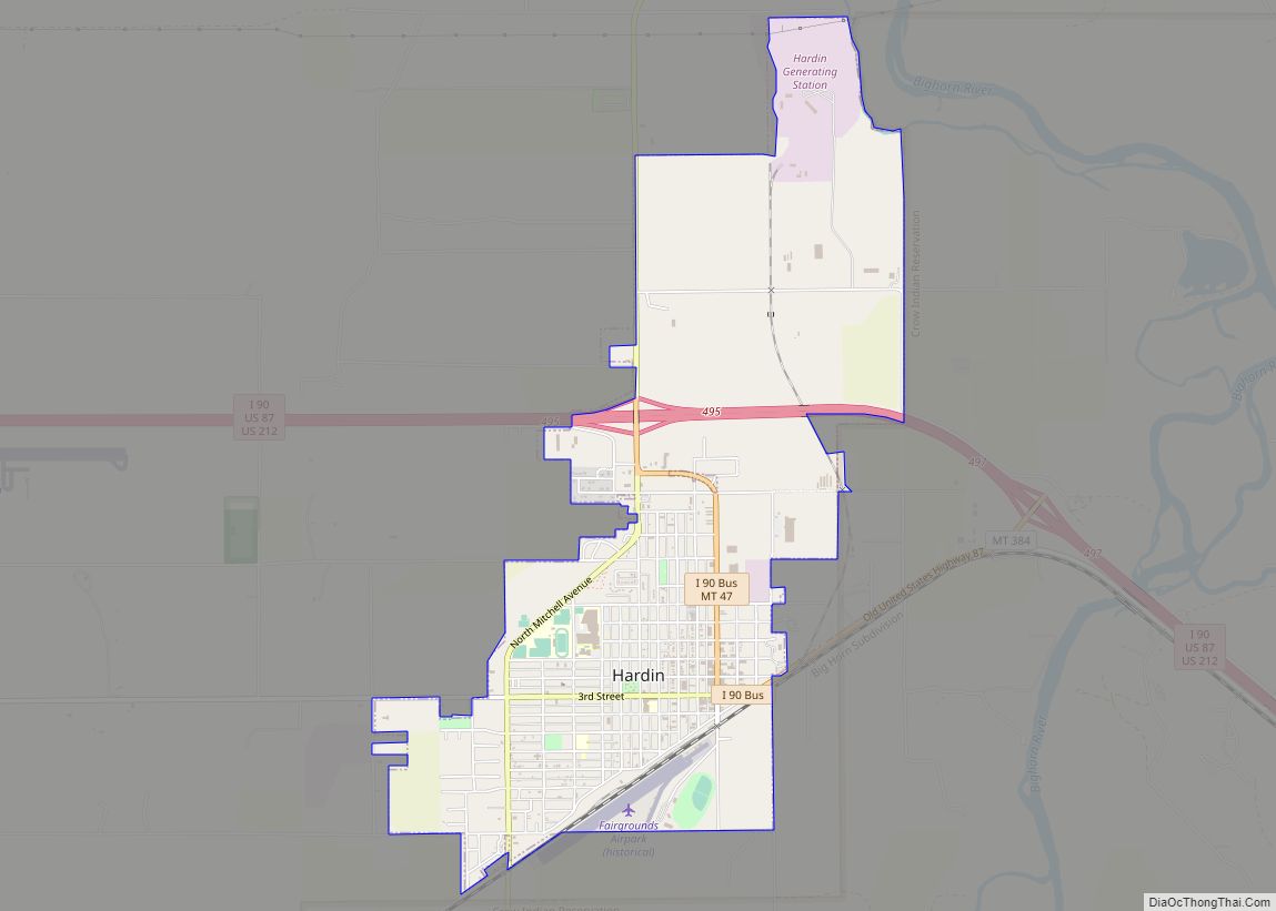
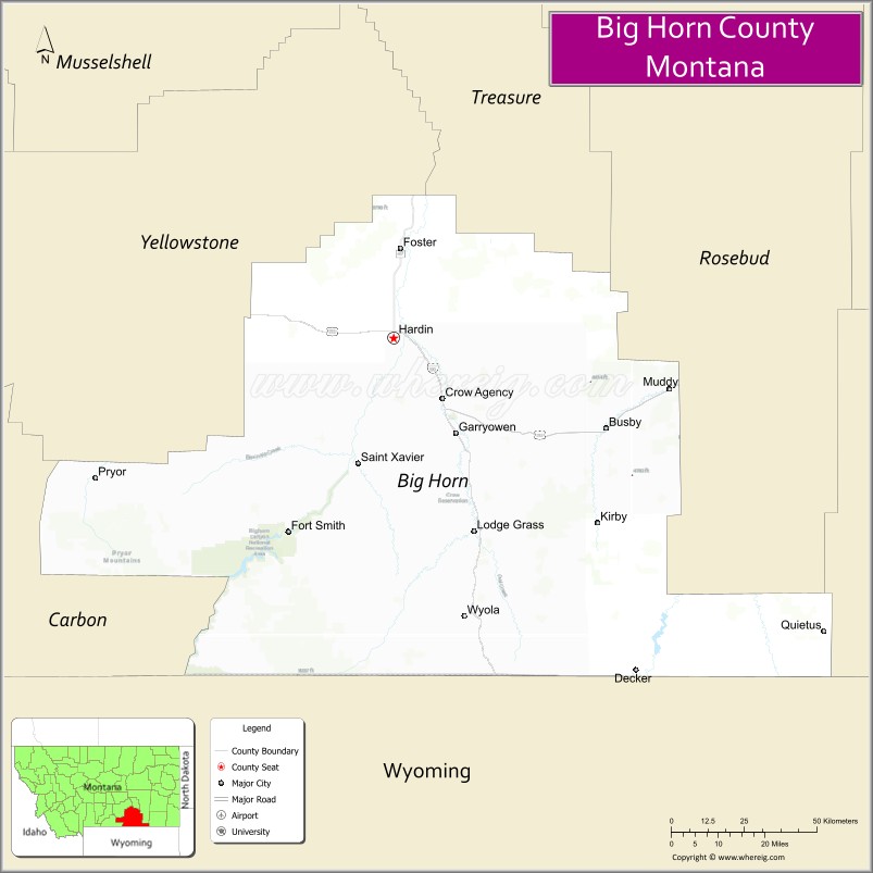
| Seat: | Hardin |
| Largest city: | Hardin |
| Total Area: | 5,015 sq mi (12,990 km²) |
| Land Area: | 4,995 sq mi (12,940 km²) |
| Total Population: | 13,124 |
| Population Density: | 2.6/sq mi (1.0/km²) |
| Time zone: | UTC−7 (Mountain) |
| Summer Time Zone (DST): | UTC−6 (MDT) |
| Website: | www.bighorncountymt.gov |
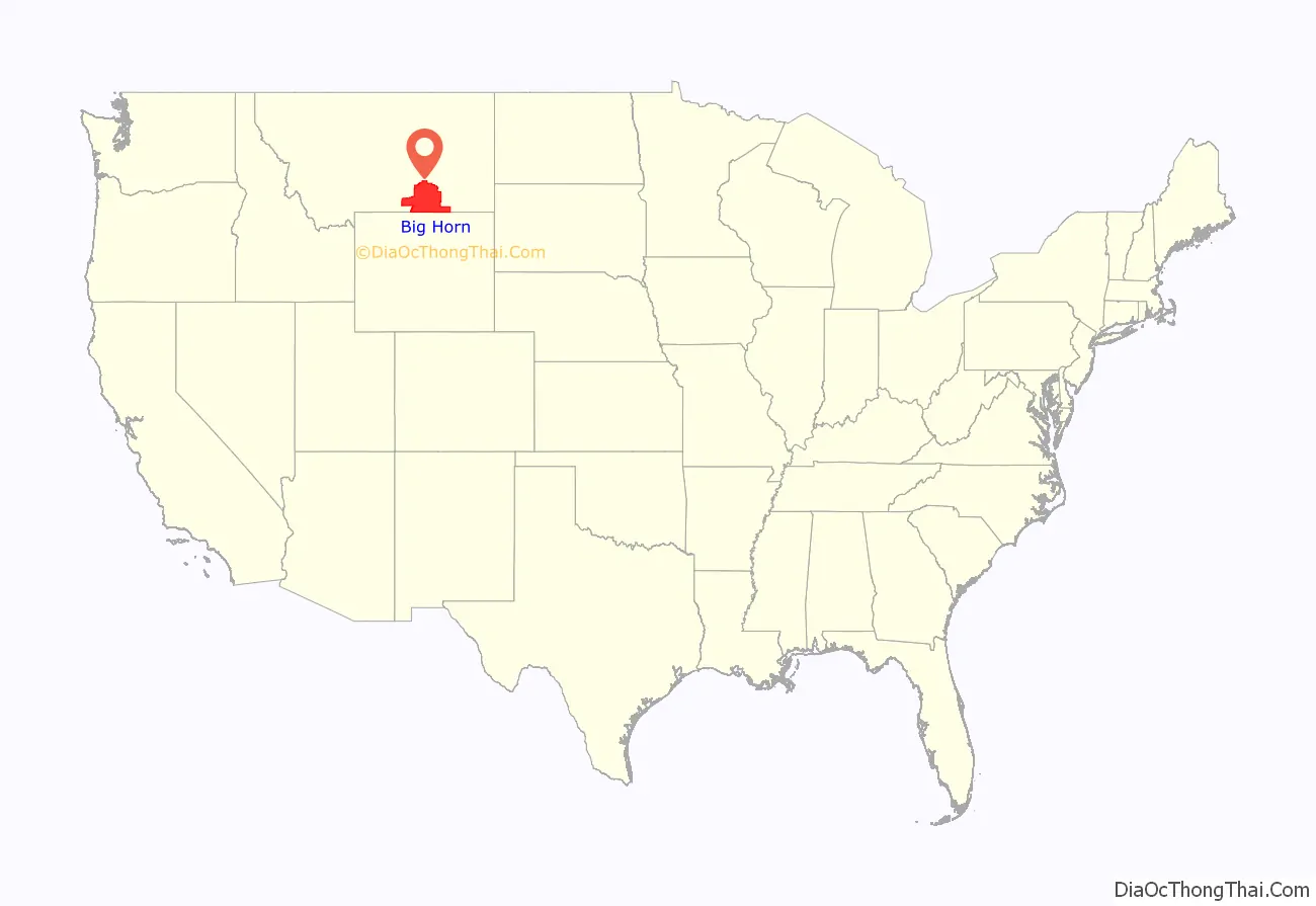
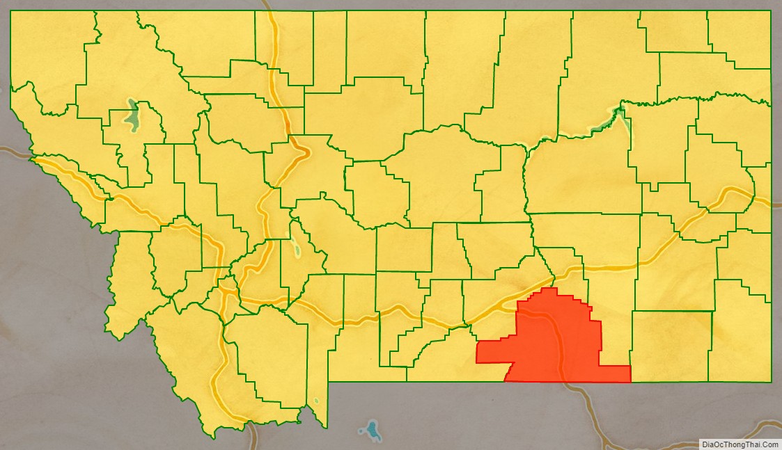
Big Horn County location map. Where is Big Horn County?
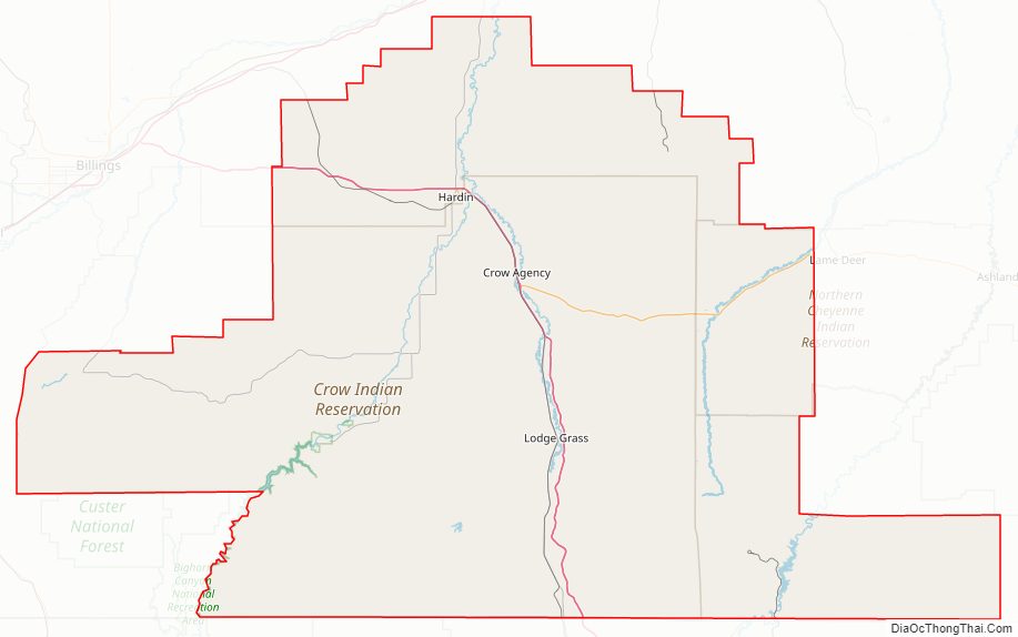
Big Horn County Road Map
Geography
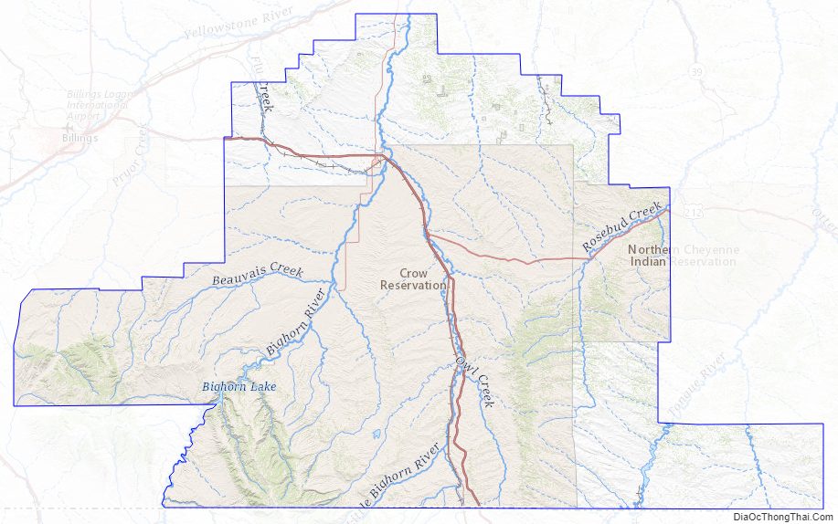
According to the United States Census Bureau, the county has a total area of 5,015 square miles (12,990 km), of which 4,995 square miles (12,940 km) is land and 19 square miles (49 km) (0.4%) is water. It is the fifth-largest county in Montana by land area. Most of the county’s land area is Indian reservations: The Crow Indian Reservation covers 64.2 percent of its area, while the Northern Cheyenne Indian Reservation covers another 6.37 percent.
The county is home to the Big Horn, Pryor and Wolf mountain ranges.
Major highways
- Interstate 90
- U.S. Highway 87
- U.S. Highway 212
- Montana Highway 47
- Montana Highway 313
- Montana Highway 314
Adjacent counties
- Carbon – west
- Yellowstone – northwest
- Treasure – north
- Rosebud – northeast
- Powder River – east
- Sheridan County, Wyoming – south
- Big Horn County, Wyoming – southwest
National protected areas
- Bighorn Canyon National Recreation Area (part)
- Little Bighorn Battlefield National Monument
Climate
According to the Köppen Climate Classification system, Big Horn County has a semi-arid climate, abbreviated “BSk” on climate maps.
Big Horn County Topographic Map
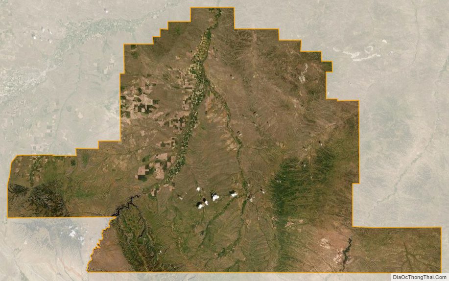
Big Horn County Satellite Map
Big Horn County Outline Map