Carbon County is a county located in the U.S. state of Montana. As of the 2020 census, the population was 10,473. Its county seat is Red Lodge.
Carbon County is part of the Billings, MT Metropolitan Statistical Area.
| Name: | Carbon County |
|---|---|
| FIPS code: | 30-009 |
| State: | Montana |
| Founded: | March 4, 1895 |
| Seat: | Red Lodge |
| Largest city: | Red Lodge |
| Total Area: | 2,062 sq mi (5,340 km²) |
| Land Area: | 2,049 sq mi (5,310 km²) |
| Total Population: | 10,473 |
| Population Density: | 5.1/sq mi (2.0/km²) |
| Time zone: | UTC−7 (Mountain) |
| Summer Time Zone (DST): | UTC−6 (MDT) |
| Website: | co.carbon.mt.us |
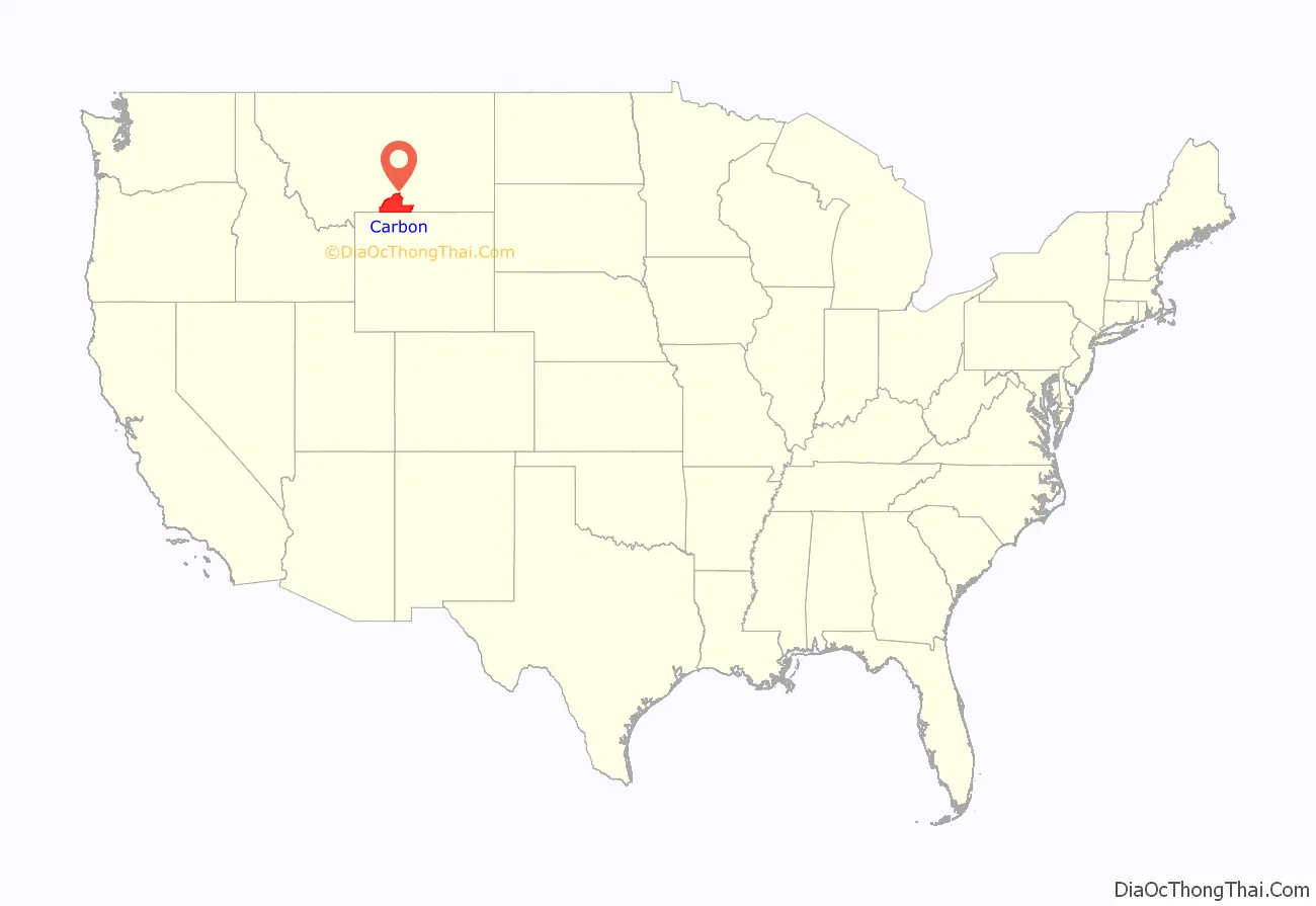
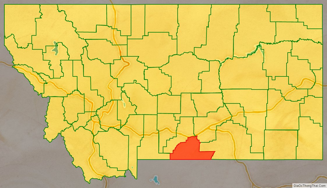
Carbon County location map. Where is Carbon County?
History
Carbon County was named for the rich coal deposits found in the area. It was organized on March 4, 1895, from portions of Park and Yellowstone counties.
Land from Park and Yellowstone counties was used to form Carbon County on March 4, 1895. More than sixty federally designated historic sites are located in the county, including Petroglyph Canyon, one of the state’s most important rock art sites.
The first commercial oil well in the state was established in Elk Basin fields in 1915.
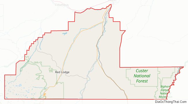
Carbon County Road Map
Geography
According to the United States Census Bureau, the county has a total area of 2,062 square miles (5,340 km), of which 2,049 square miles (5,310 km) is land and 13 square miles (34 km) (0.6%) is water.
Granite Peak, the state’s highest mountain, is found in Carbon County’s Beartooth Mountains. The Beartooth Highway, one of the “most spectacular alpine highways”, links Red Lodge to Cooke City. The Pryor Mountains are in the east of the county, along with the Big Horn River.
Major highways
- U.S. Highway 212
- U.S. Highway 310
- Montana Highway 72
- Montana Highway 78
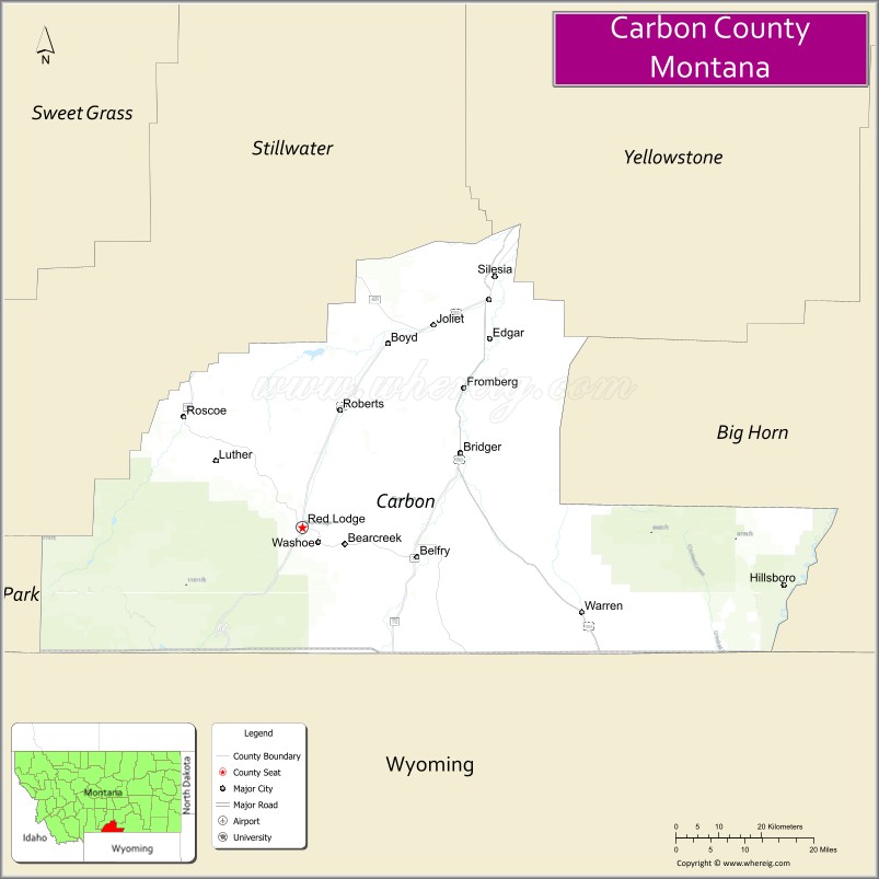
Adjacent counties
- Park County – west
- Stillwater County – north
- Yellowstone County – northeast
- Big Horn County – east
- Big Horn County, Wyoming – southeast
- Park County, Wyoming – south
National protected areas
- Bighorn Canyon National Recreation Area (part)
- Custer National Forest (part)
- Gallatin National Forest (part)
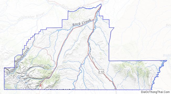
Carbon County Topographic Map
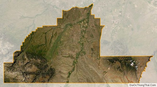
Carbon County Satellite Map
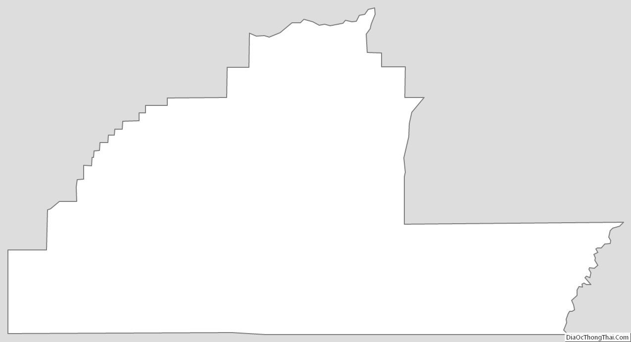
Carbon County Outline Map