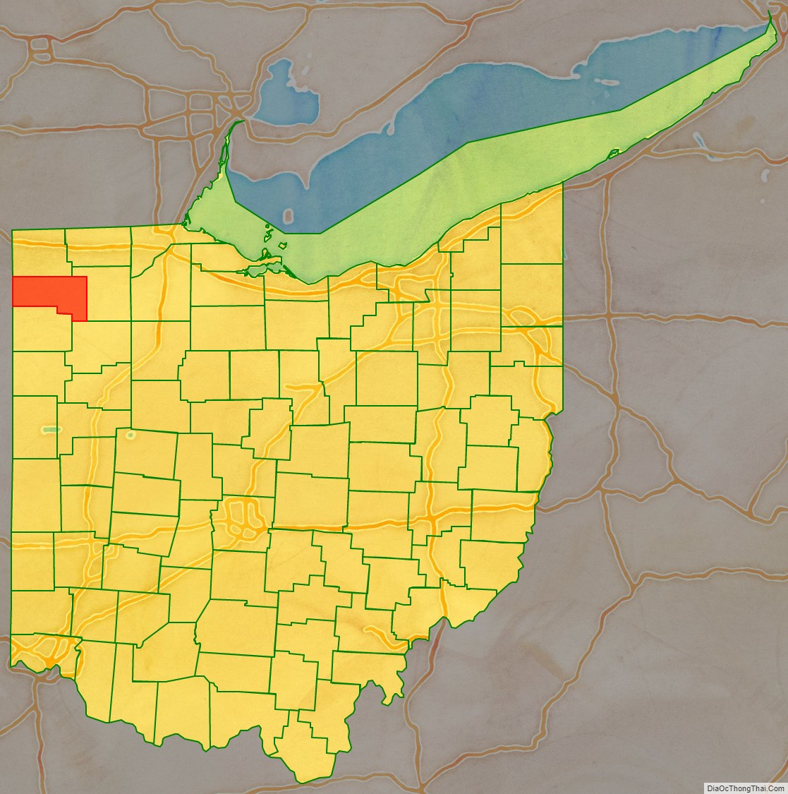
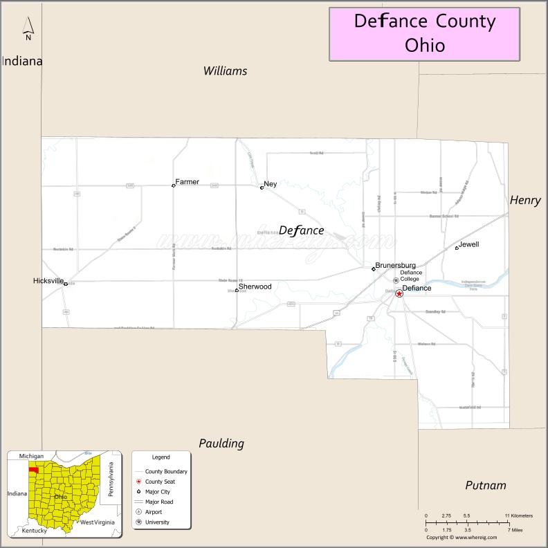
Defiance County is a county located in the U.S. state of Ohio. As of the 2020 census, the population was 38,286. Its county seat and largest city is Defiance. The county was named after an early Army fortification, Fort Defiance, which was so named by Mad Anthony Wayne to signify the settlers’ “defiance” of the Indians. The Defiance, OH Micropolitan Statistical Area includes all of Defiance County.
| Name: | Defiance County |
|---|---|
| FIPS code: | 39-039 |
| State: | Ohio |
| Founded: | April 7, 1845 |
| Named for: | Fort Defiance |
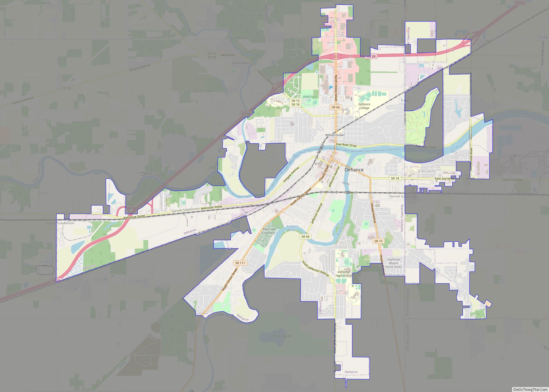
| Seat: | Defiance |
| Largest city: | Defiance |
| Total Area: | 414 sq mi (1,070 km²) |
| Land Area: | 411 sq mi (1,060 km²) |
| Total Population: | 38,286 |
| Population Density: | 92/sq mi (36/km²) |
| Time zone: | UTC−5 (Eastern) |
| Summer Time Zone (DST): | UTC−4 (EDT) |
| Website: | www.defiance-county.com |
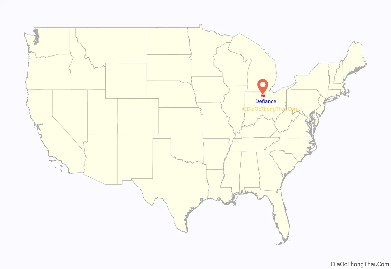
Defiance County location map. Where is Defiance County?
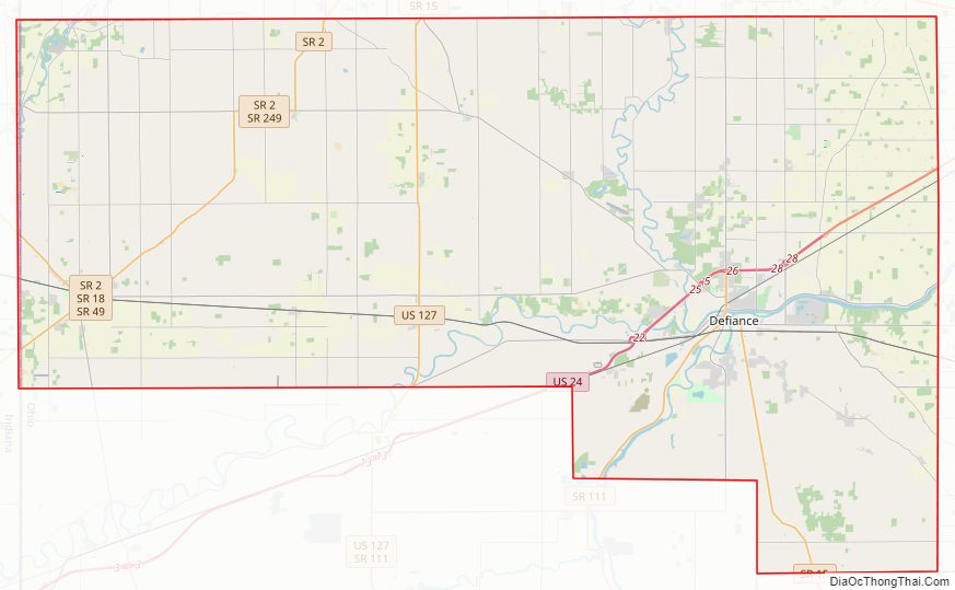
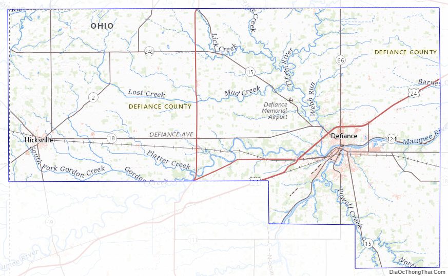
Defiance County Road Map
Geography
According to the U.S. Census Bureau, the county has a total area of 414 square miles (1,070 km), of which 411 square miles (1,060 km) is land and 2.7 square miles (7.0 km) (0.7%) is water.
Adjacent counties
- Williams County (north)
- Henry County (east)
- Putnam County (southeast)
- Paulding County (south)
- Allen County, Indiana (southwest)
- DeKalb County, Indiana (west)
Defiance County Topographic Map
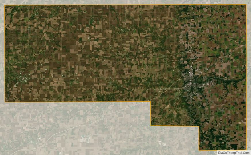
Defiance County Satellite Map
Defiance County Outline Map