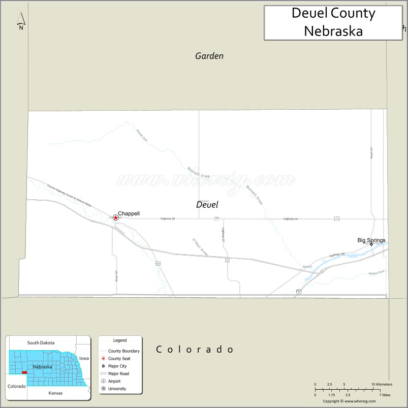
Deuel County is a county located in the U.S. state of Nebraska. As of the 2010 United States Census, the population was 1,941. Its county seat is Chappell. The county was formed in 1889 and named for Harry Porter Deuel, superintendent of the Union Pacific Railroad.
In the Nebraska license plate system, Deuel County is represented by the prefix 78 (it had the 78th-largest number of vehicles registered in the county when the license plate system was established in 1922).
| Name: | Deuel County |
|---|---|
| FIPS code: | 31-049 |
| State: | Nebraska |
| Founded: | 1889 |
| Named for: | Harry P. Deuel |
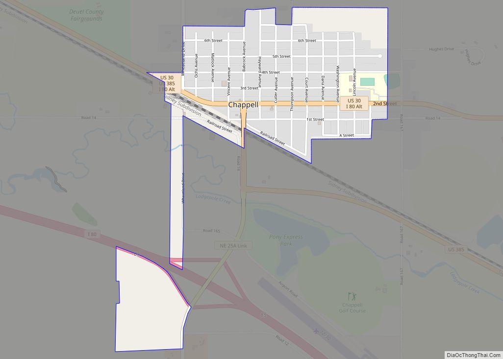
| Seat: | Chappell |
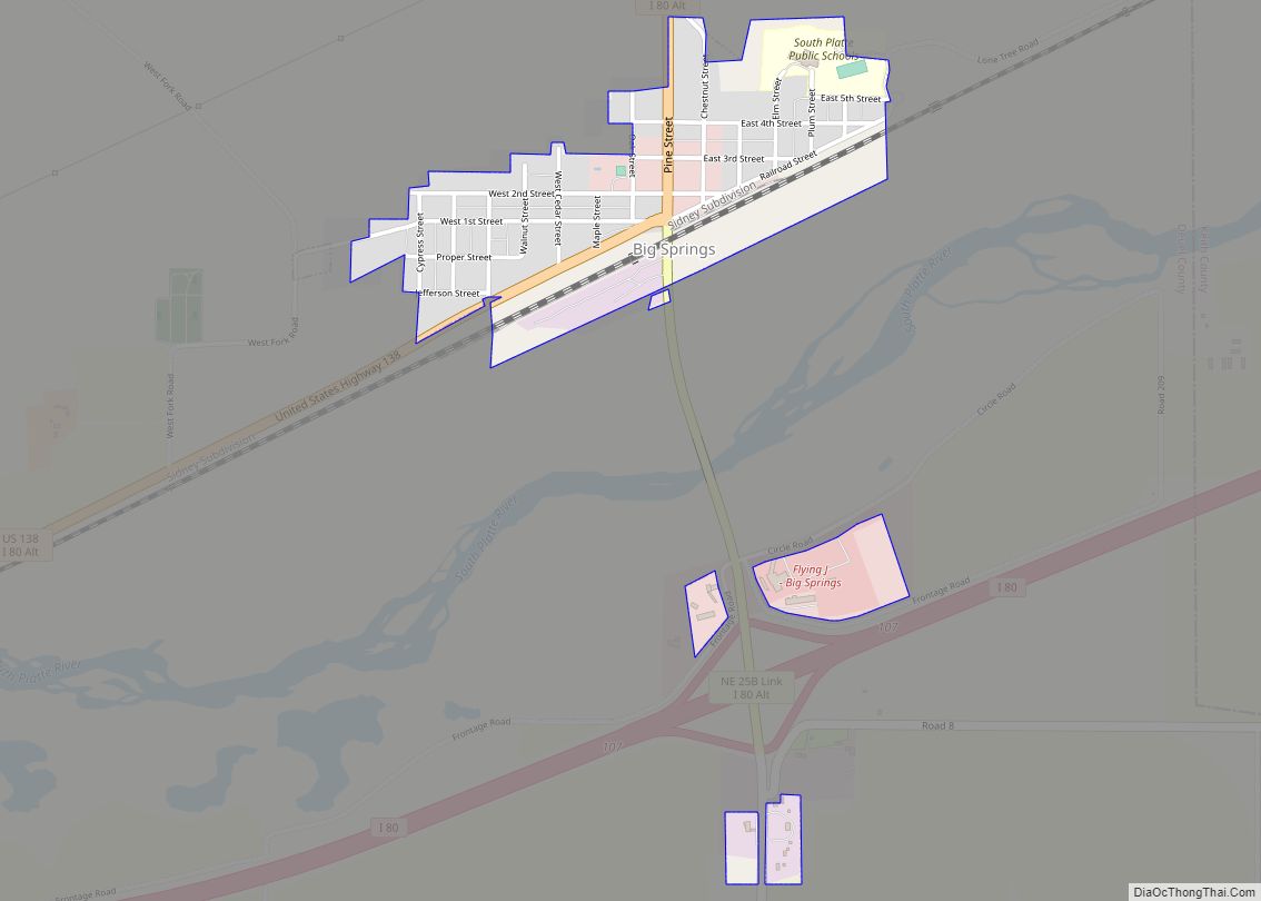
| Largest city: | Chappell |
| Total Area: | 441 sq mi (1,140 km²) |
| Land Area: | 440 sq mi (1,100 km²) |
| Total Population: | 1,865 |
| Population Density: | 4.3/sq mi (1.7/km²) |
| Time zone: | UTC−7 (Mountain) |
| Summer Time Zone (DST): | UTC−6 (MDT) |
| Website: | www.co.deuel.ne.us |
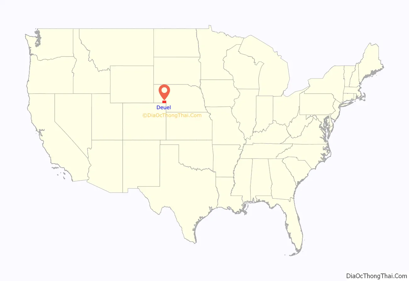
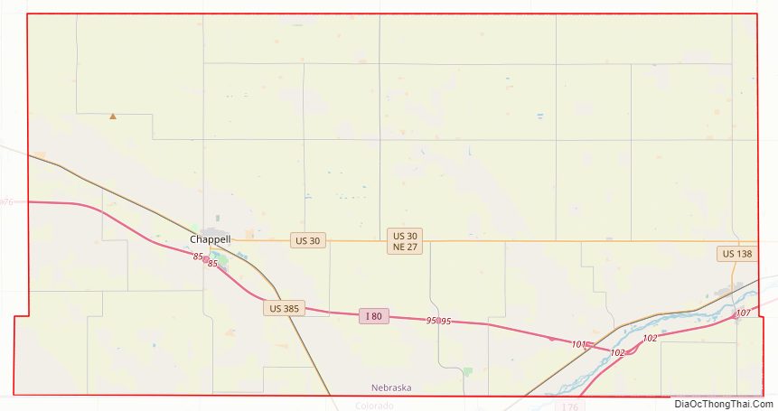
Deuel County location map. Where is Deuel County?
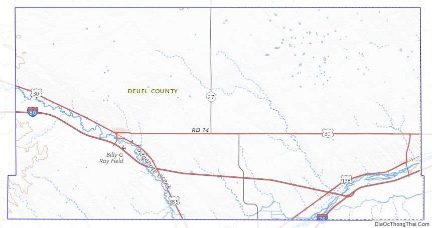
Deuel County Road Map
Geography
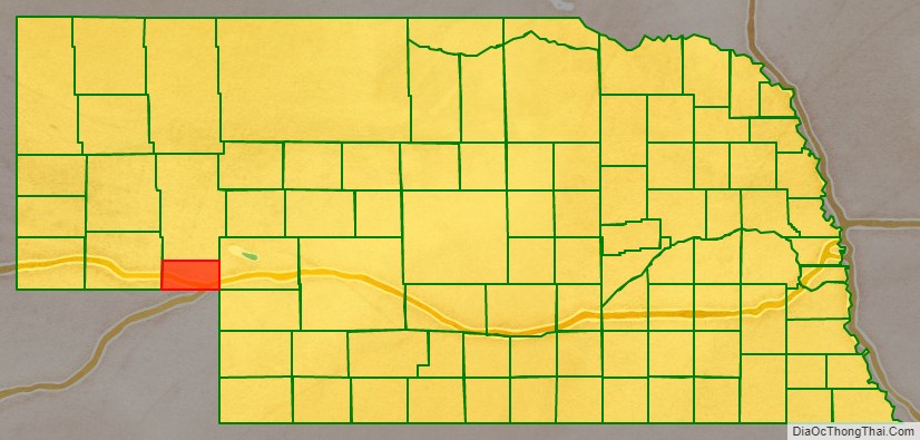
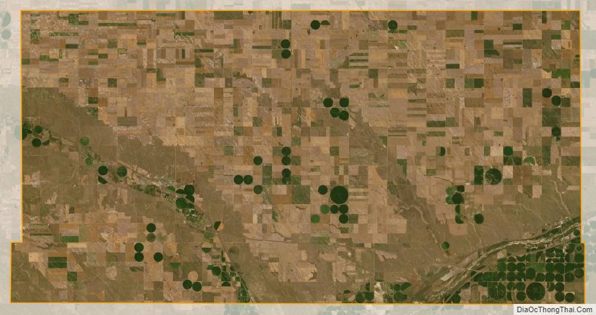
Deuel County lies on the south side of Nebraska. Its southern boundary abuts the northern boundary line of the state of Colorado. According to the US Census Bureau, the county has an area of 411 square miles (1,060 km), of which 440 square miles (1,100 km) is land and 0.9 square miles (2.3 km) (0.2%) is water.
Since Deuel County lies in the western portion of Nebraska, its residents observe Mountain Time. The eastern portion of Nebraska observes Central Time.
Major highways
- Interstate 76
- Interstate 80
- U.S. Highway 30
- U.S. Highway 138
- U.S. Highway 385
- Nebraska Highway 27
Adjacent counties
- Garden County – north
- Keith County – east
- Perkins County – southeast
- Sedgwick County, Colorado – south
- Cheyenne County – west
Deuel County Topographic Map
Deuel County Satellite Map
Deuel County Outline Map