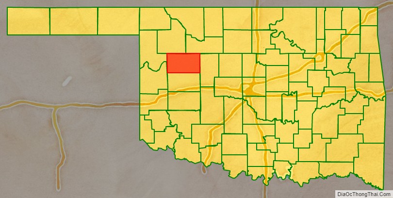
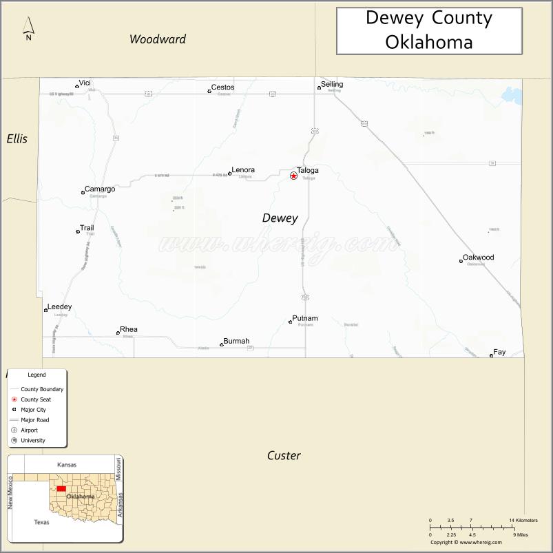
Dewey County is a county in the western part of the U.S. state of Oklahoma. As of the 2010 census, the population was 4,810. Its county seat is Taloga. The county was created in 1891 as “County D”. In an 1898 election, county voters chose the name Dewey, honoring Admiral George Dewey.
| Name: | Dewey County |
|---|---|
| FIPS code: | 40-043 |
| State: | Oklahoma |
| Founded: | 1891 |
| Named for: | George Dewey |
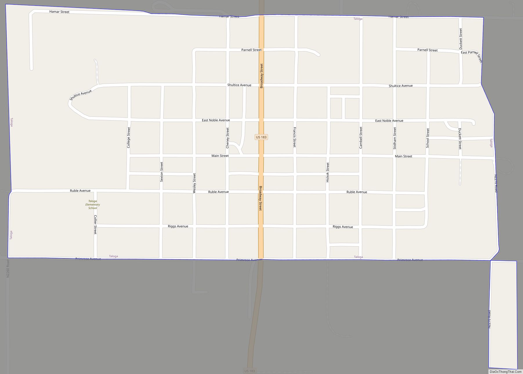
| Seat: | Taloga |
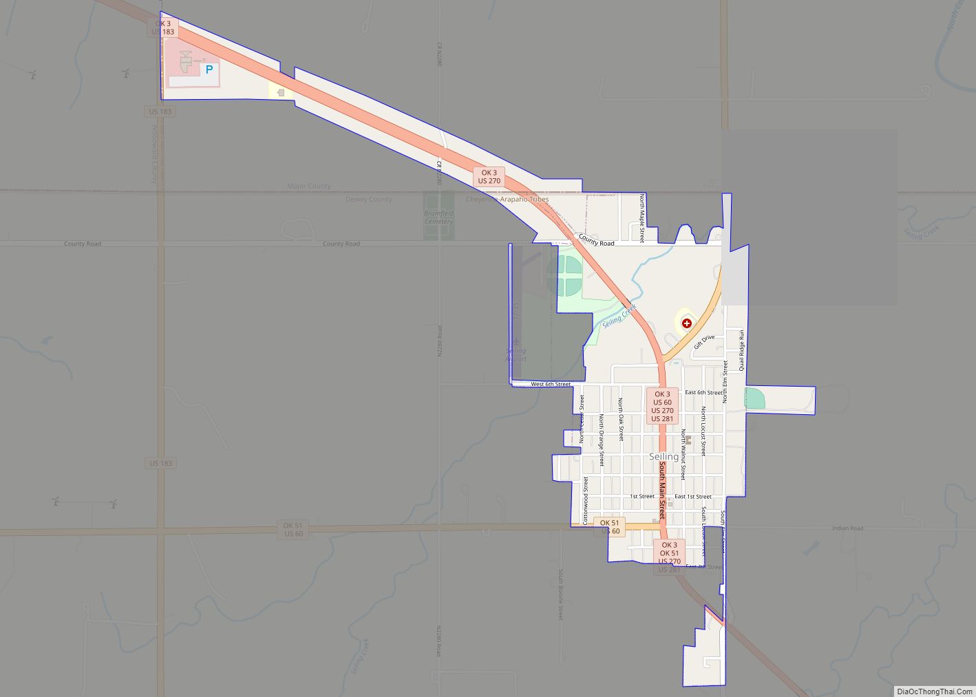
| Largest city: | Seiling |
| Total Area: | 1,008 sq mi (2,610 km²) |
| Land Area: | 999 sq mi (2,590 km²) |
| Total Population: | 4,810 |
| Population Density: | 4.8/sq mi (1.9/km²) |
| Time zone: | UTC−6 (Central) |
| Summer Time Zone (DST): | UTC−5 (CDT) |
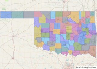
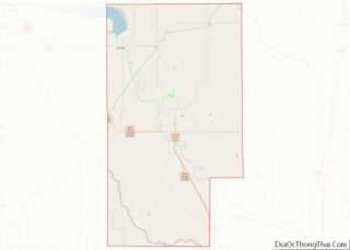
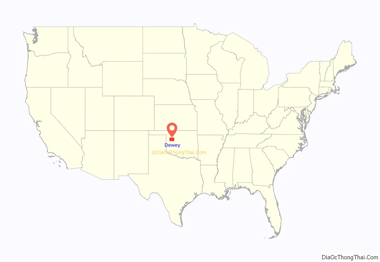
Dewey County location map. Where is Dewey County?
History
Lands assigned to the Choctaw and Seminole tribes extended into the area now occupied by Dewey County. Under the Reconstruction Treaties of 1866 the Choctaw and Chickasaw ceded their western domain to the United States. Known as the Leased District, part of the area became the Cheyenne and Arapaho reservation.
Dewey County was created in Oklahoma Territory in 1891 and was opened to non-Indian settlement on April 19, 1892. It was then named as County D by an act of Congress, and did not receive its present name until a general election in 1898. A wooden structure in Taloga was used as the county courthouse from 1909 until 1926, when the present courthouse was built.
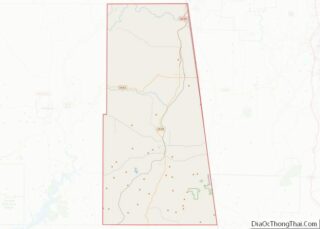
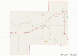
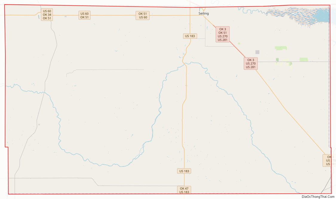
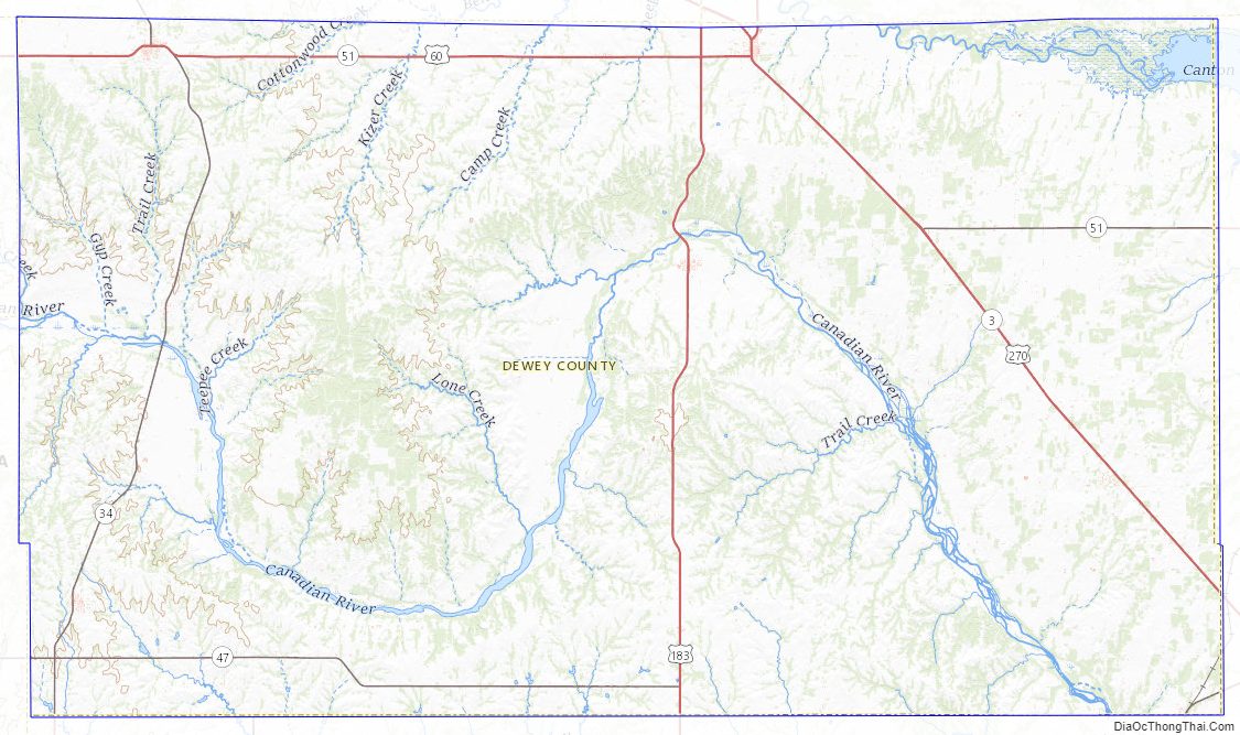
Dewey County Road Map
Geography
According to the U.S. Census Bureau, the county has a total area of 1,008 square miles (2,610 km), of which 999 square miles (2,590 km) is land and 8.8 square miles (23 km) (0.9%) is water.
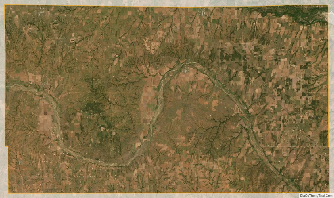
Most of the county is in the Gypsum Hills physiographic region, except that the western one-fourth of the county is in the High Plains region. It is drained by the Canadian and North Canadian Rivers. Canton Lake, built on the Canadian River in 1966, is the only significant lake or reservoir in the county.
Major highways
- U.S. Highway 60
- U.S. Highway 183
- U.S. Highway 270
- U.S. Highway 281
- State Highway 34
- State Highway 47
- State Highway 51
Adjacent counties
- Woodward County (north)
- Major County (north)
- Blaine County (east)
- Custer County (south)
- Roger Mills County (southwest)
- Ellis County (northwest)
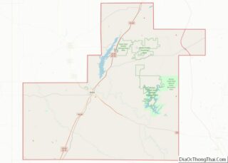
Dewey County Topographic Map
Dewey County Satellite Map
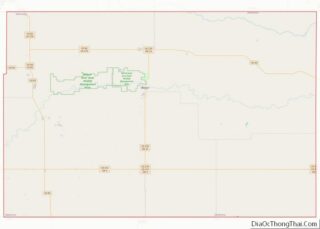
Dewey County Outline Map