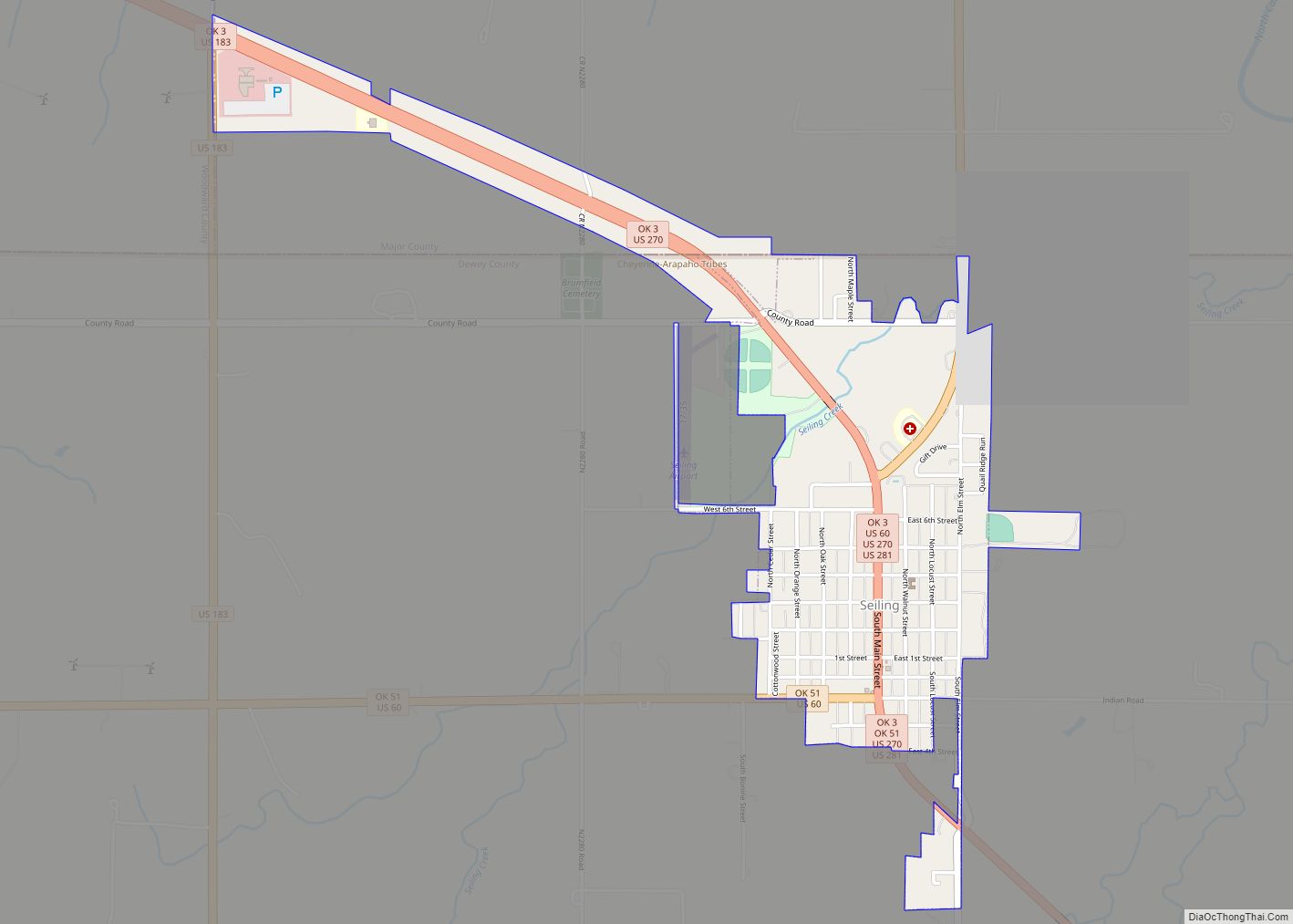
Seiling is a city in Dewey County, Oklahoma, United States. The population was 860 at the 2010 census. The town was named in 1899 for Louis Seiling, a local store owner who had acquired a homestead in the Cheyenne-Arapaho land run of April 1892. The Hobson Town and Improvement Company established a town called Hobson, but the name was changed to Seiling in January 1899. It incorporated in 1909. Seiling is now the largest city in Dewey County. Their girls basketball team has also won the Oklahoma State Championship four times in a row (2016-2019).
| Name: | Seiling city |
|---|---|
| LSAD Code: | 25 |
| LSAD Description: | city (suffix) |
| State: | Oklahoma |
| County: | Dewey County |
| Elevation: | 1,749 ft (533 m) |
| Total Area: | 1.19 sq mi (3.07 km²) |
| Land Area: | 1.19 sq mi (3.07 km²) |
| Water Area: | 0.00 sq mi (0.00 km²) |
| Total Population: | 850 |
| Population Density: | 716.69/sq mi (276.65/km²) |
| ZIP code: | 73663 |
| Area code: | 580 |
| FIPS code: | 4066250 |
| GNISfeature ID: | 1097902 |
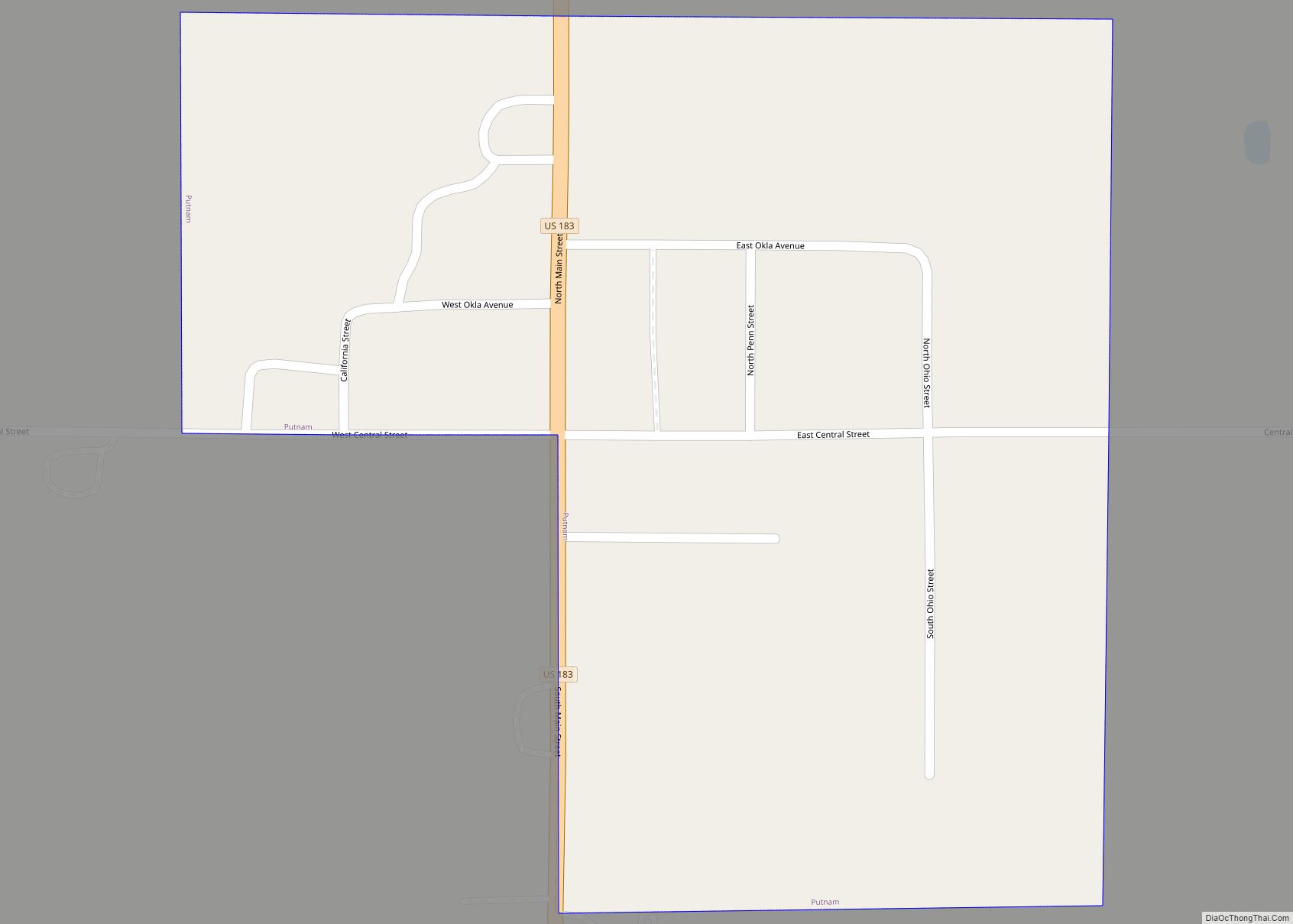
Online Interactive Map
Click on ![]() to view map in "full screen" mode.
to view map in "full screen" mode.
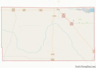
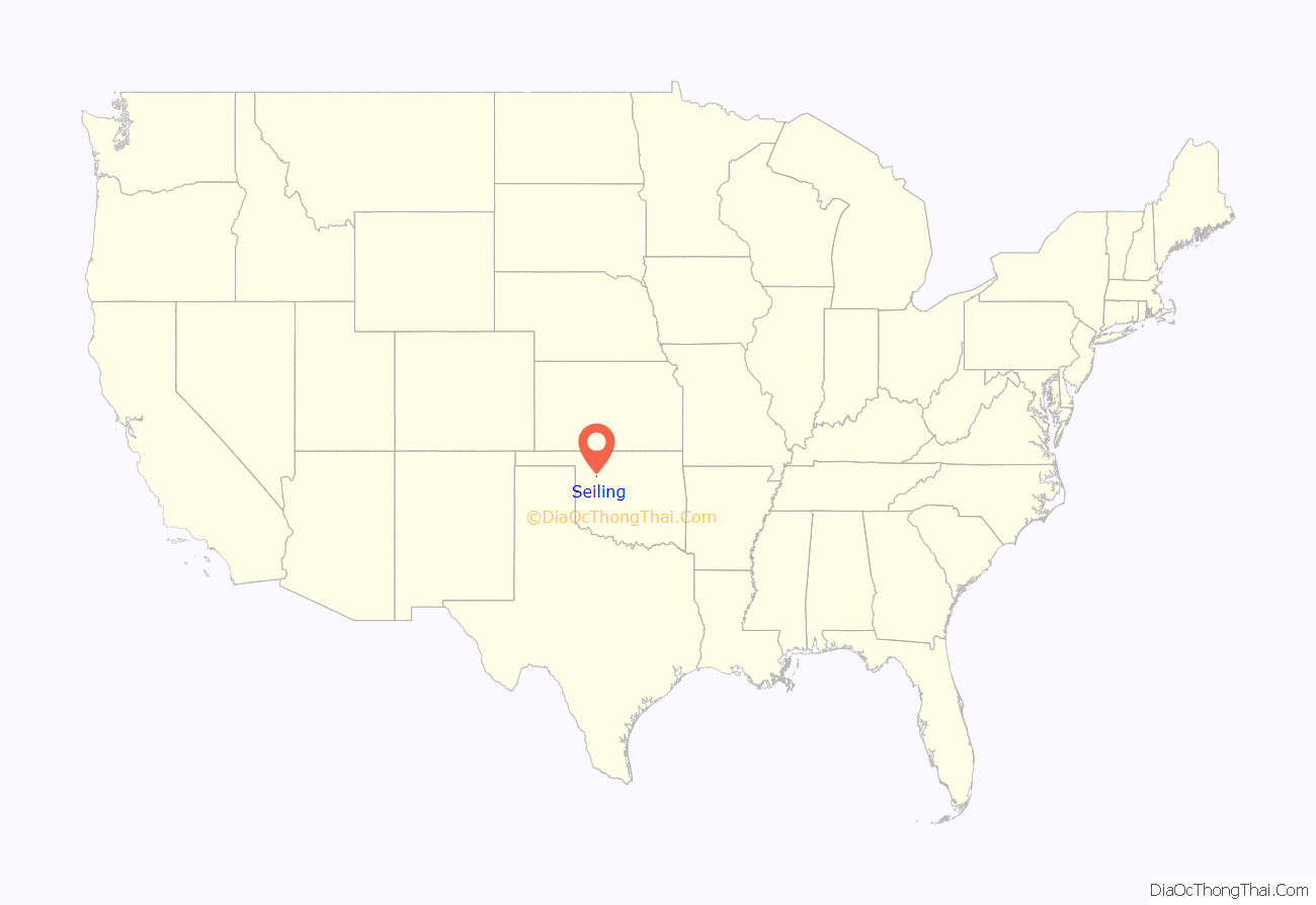
Seiling location map. Where is Seiling city?

History
Seiling developed as a local agricultural center and became the largest town in Dewey County despite the fact that the nearest railroad depot was in Canton, more than 25 miles (40 km) away . Moreover, there were no bridges across either of the Canadian rivers until 1906. A horse racing track was built in 1903.
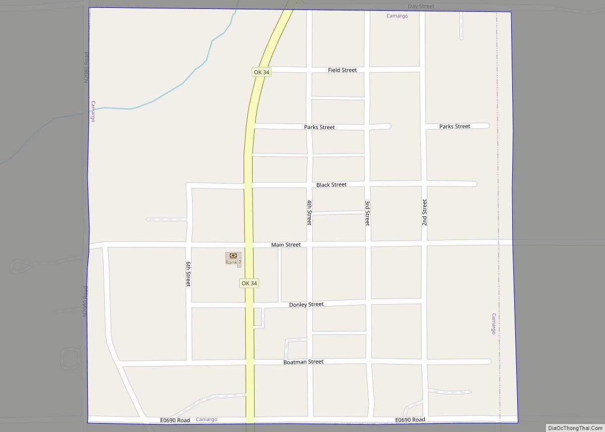
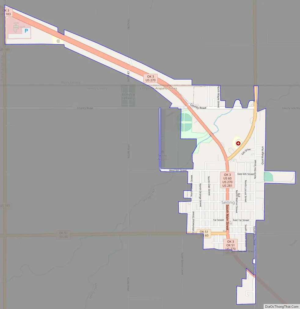
Seiling Road Map
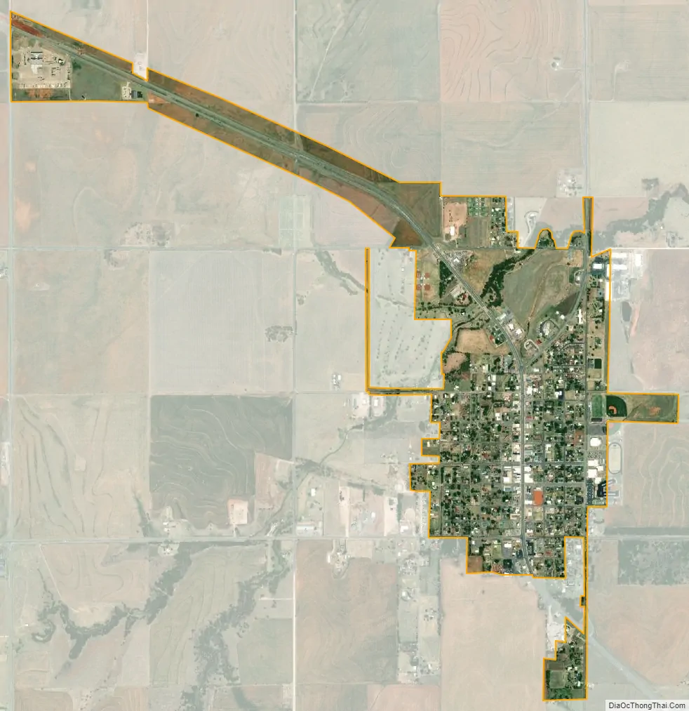
Seiling city Satellite Map
Geography
Seiling is located at 36°8′55″N 98°55′30″W / 36.14861°N 98.92500°W / 36.14861; -98.92500 (36.148579, -98.925123). It is immediately south of the North Canadian River and 7 miles (11 km) north of the Canadian River, 10 miles (16 km) from Taloga, the county seat.
According to the United States Census Bureau, the city has a total area of 0.8 square miles (2.1 km), all land.
See also
Map of Oklahoma State and its subdivision:- Adair
- Alfalfa
- Atoka
- Beaver
- Beckham
- Blaine
- Bryan
- Caddo
- Canadian
- Carter
- Cherokee
- Choctaw
- Cimarron
- Cleveland
- Coal
- Comanche
- Cotton
- Craig
- Creek
- Custer
- Delaware
- Dewey
- Ellis
- Garfield
- Garvin
- Grady
- Grant
- Greer
- Harmon
- Harper
- Haskell
- Hughes
- Jackson
- Jefferson
- Johnston
- Kay
- Kingfisher
- Kiowa
- Latimer
- Le Flore
- Lincoln
- Logan
- Love
- Major
- Marshall
- Mayes
- McClain
- McCurtain
- McIntosh
- Murray
- Muskogee
- Noble
- Nowata
- Okfuskee
- Oklahoma
- Okmulgee
- Osage
- Ottawa
- Pawnee
- Payne
- Pittsburg
- Pontotoc
- Pottawatomie
- Pushmataha
- Roger Mills
- Rogers
- Seminole
- Sequoyah
- Stephens
- Texas
- Tillman
- Tulsa
- Wagoner
- Washington
- Washita
- Woods
- Woodward
- Alabama
- Alaska
- Arizona
- Arkansas
- California
- Colorado
- Connecticut
- Delaware
- District of Columbia
- Florida
- Georgia
- Hawaii
- Idaho
- Illinois
- Indiana
- Iowa
- Kansas
- Kentucky
- Louisiana
- Maine
- Maryland
- Massachusetts
- Michigan
- Minnesota
- Mississippi
- Missouri
- Montana
- Nebraska
- Nevada
- New Hampshire
- New Jersey
- New Mexico
- New York
- North Carolina
- North Dakota
- Ohio
- Oklahoma
- Oregon
- Pennsylvania
- Rhode Island
- South Carolina
- South Dakota
- Tennessee
- Texas
- Utah
- Vermont
- Virginia
- Washington
- West Virginia
- Wisconsin
- Wyoming