Taloga is a town in Dewey County, Oklahoma, United States. The population was 299 at the 2010 census. It is the county seat of Dewey County. The town lies near the southern bank of a bend of the Canadian River, along U.S. Route 183, approximately thirty-seven miles north of Clinton. According to the Encyclopedia of Oklahoma History and Culture, the name is of Indian origin and means either “beautiful valley” or “rocking water”.
The Taloga Wind project outside of town, dedicated in March 2012, can generate up to 130 megawatts of power, which is enough to meet the needs of about 35,000 homes. All electricity produced by the project is provided to Oklahoma Gas and Electric Company under a 20-year power purchase agreement.
The Dewey County Courthouse, from 1925, is on the NHRP listings.
| Name: | Taloga town |
|---|---|
| LSAD Code: | 43 |
| LSAD Description: | town (suffix) |
| State: | Oklahoma |
| County: | Dewey County |
| Elevation: | 1,708 ft (521 m) |
| Total Area: | 0.52 sq mi (1.34 km²) |
| Land Area: | 0.52 sq mi (1.34 km²) |
| Water Area: | 0.00 sq mi (0.00 km²) |
| Total Population: | 288 |
| Population Density: | 558.14/sq mi (215.45/km²) |
| ZIP code: | 73667 |
| Area code: | 580 |
| FIPS code: | 4072350 |
| GNISfeature ID: | 1098739 |
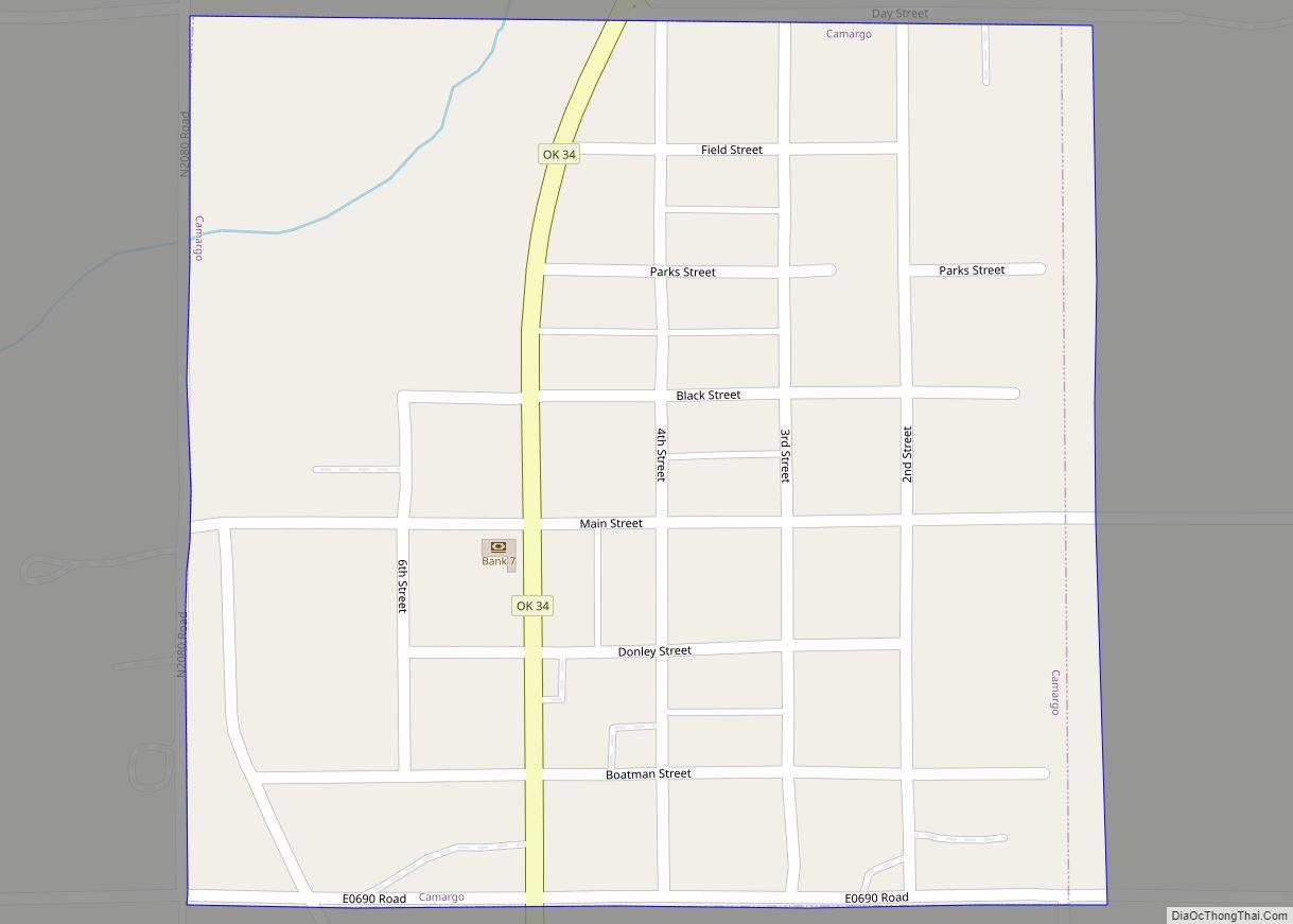
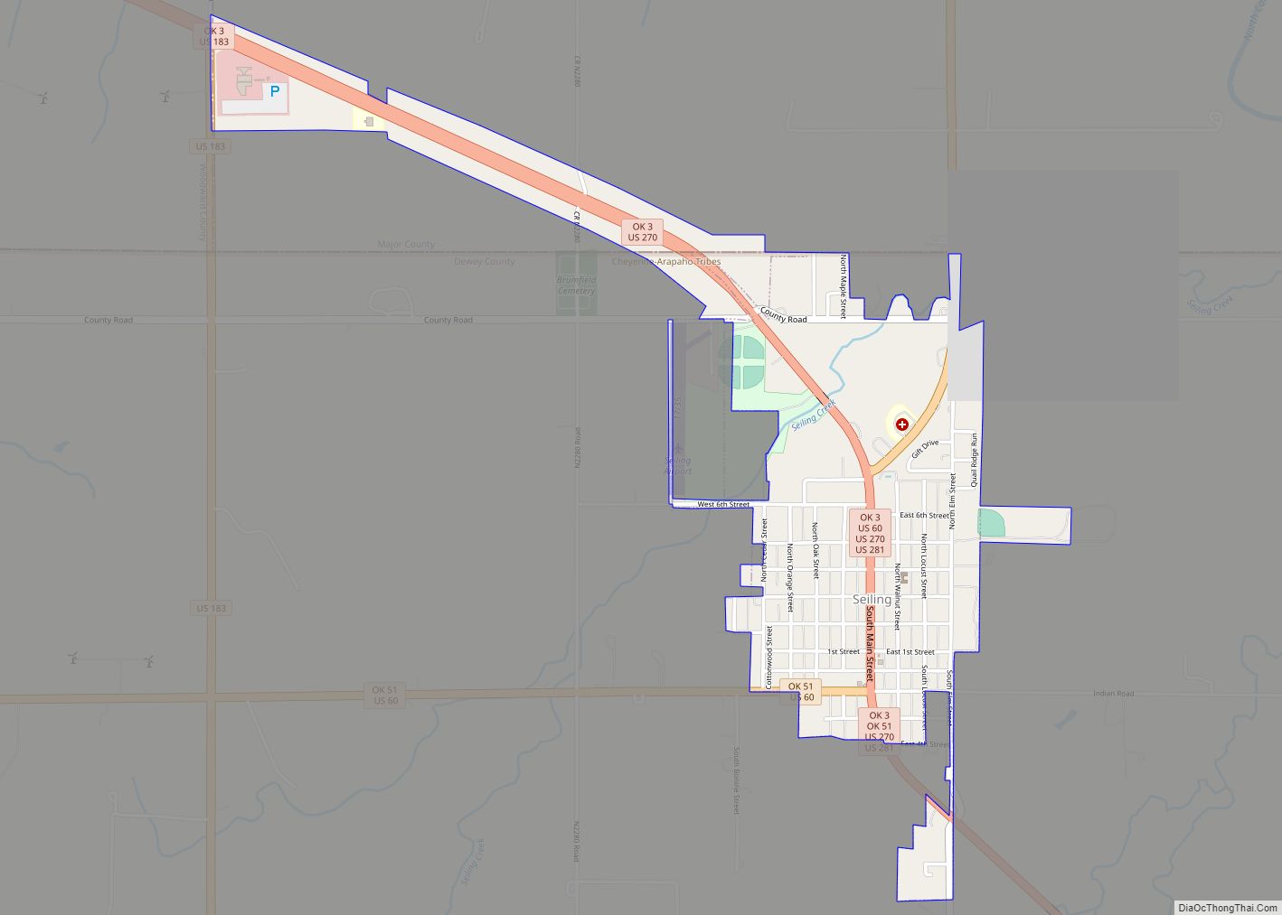
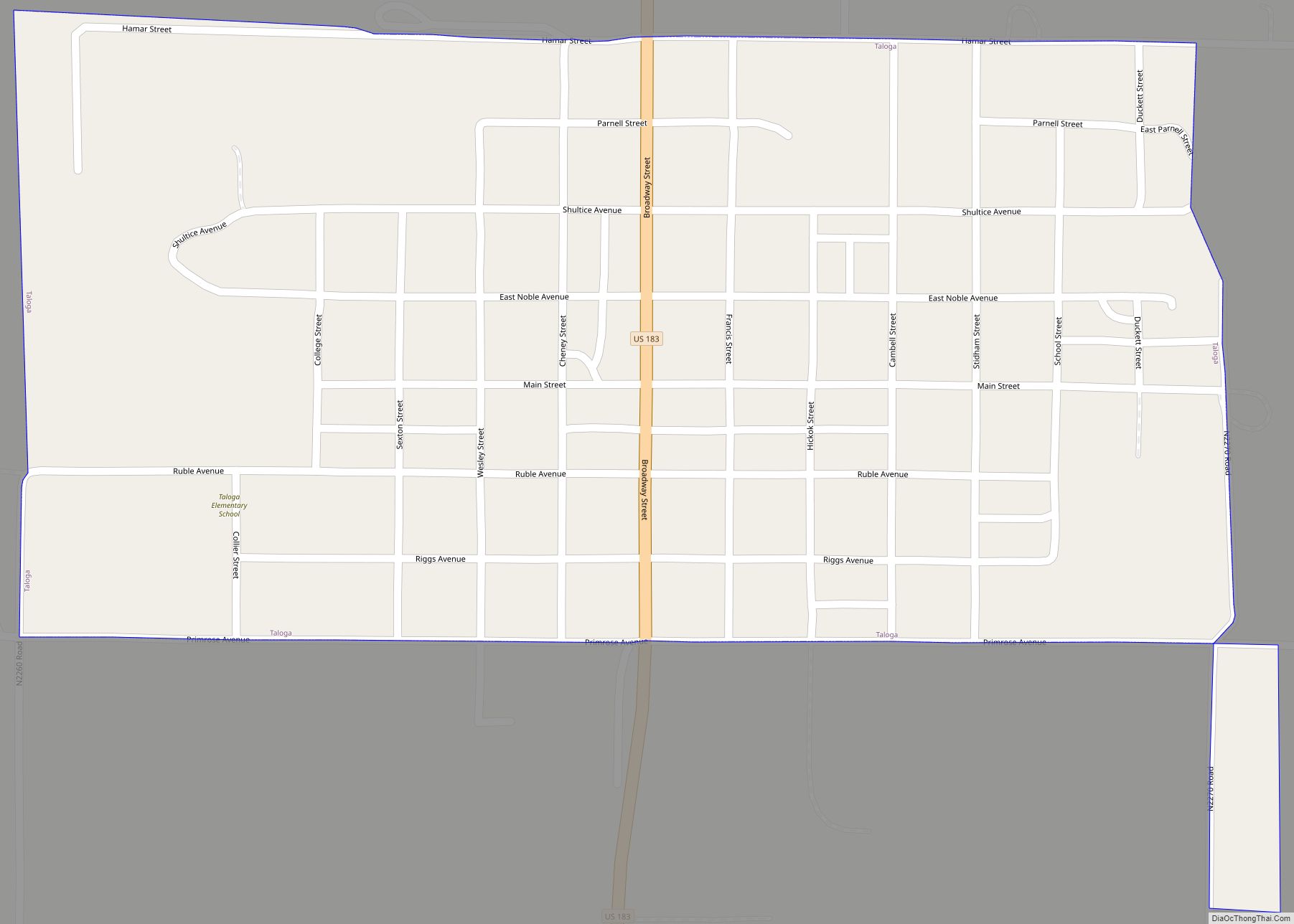
Online Interactive Map
Click on ![]() to view map in "full screen" mode.
to view map in "full screen" mode.
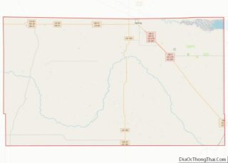
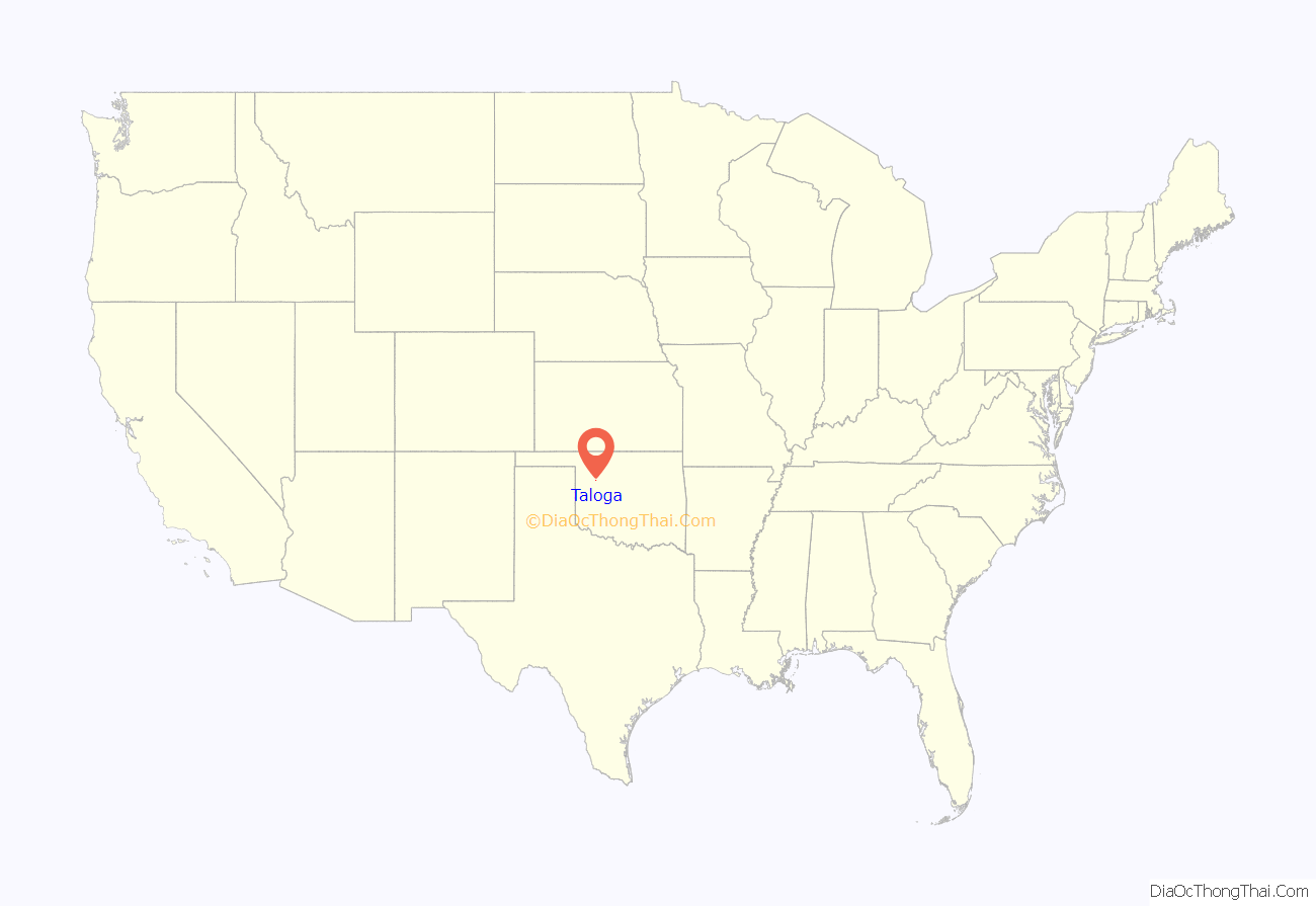
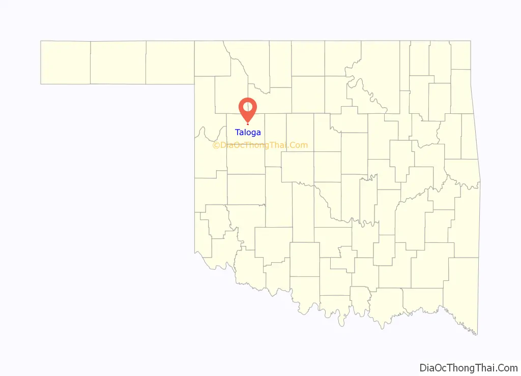
Taloga location map. Where is Taloga town?
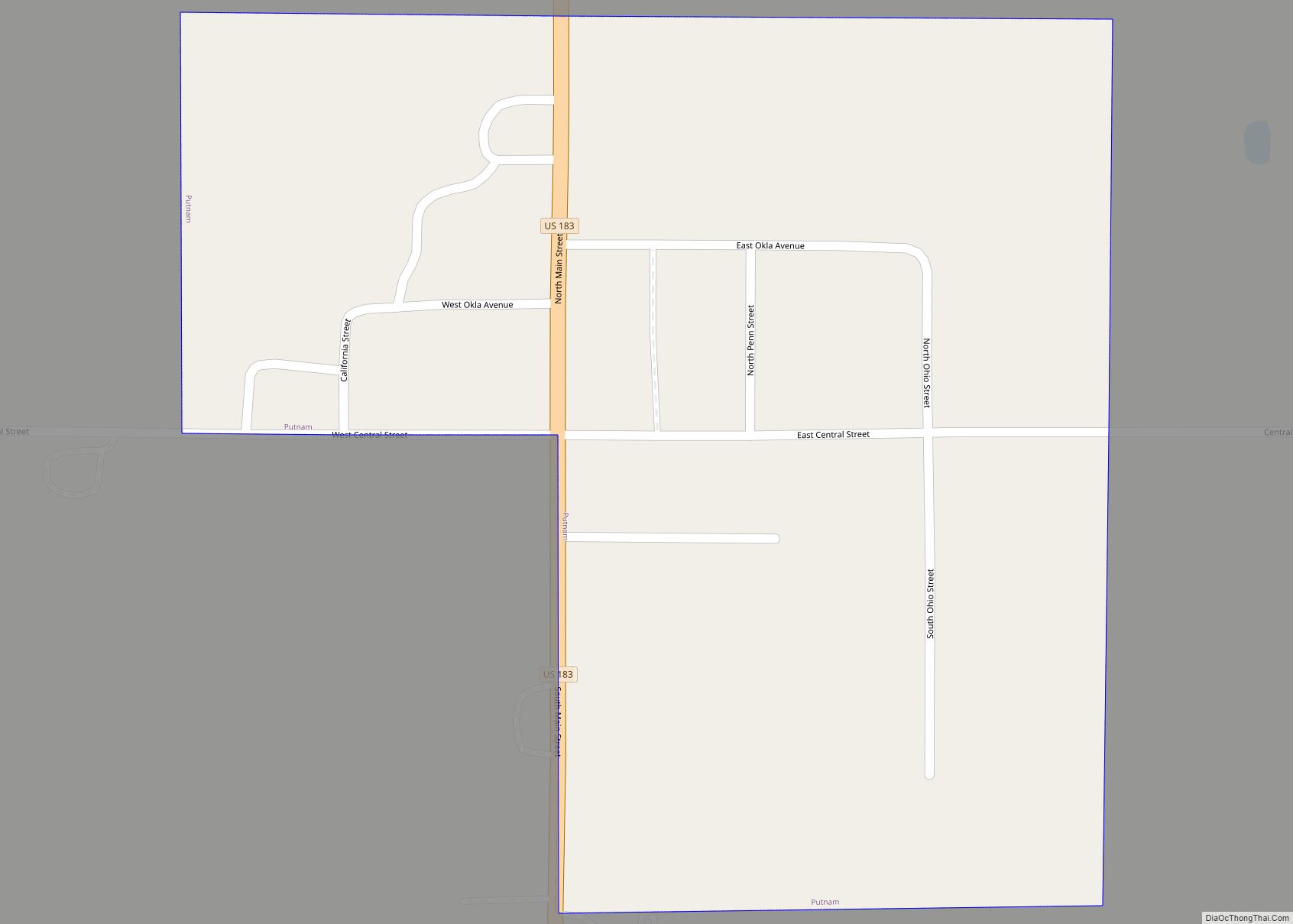
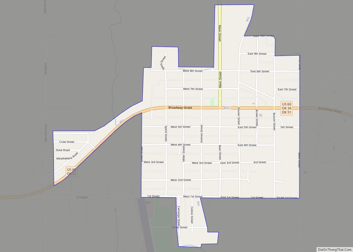
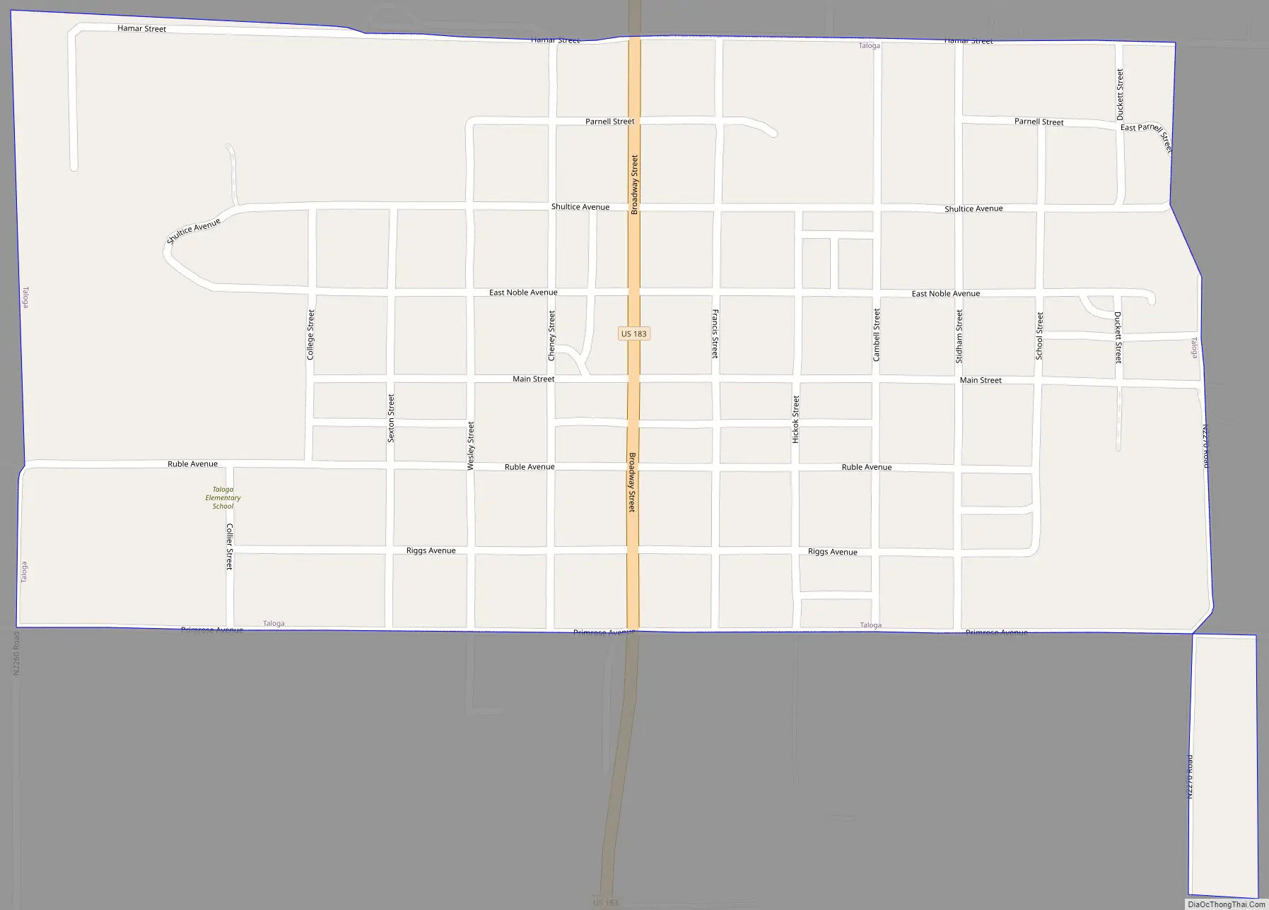
Taloga Road Map
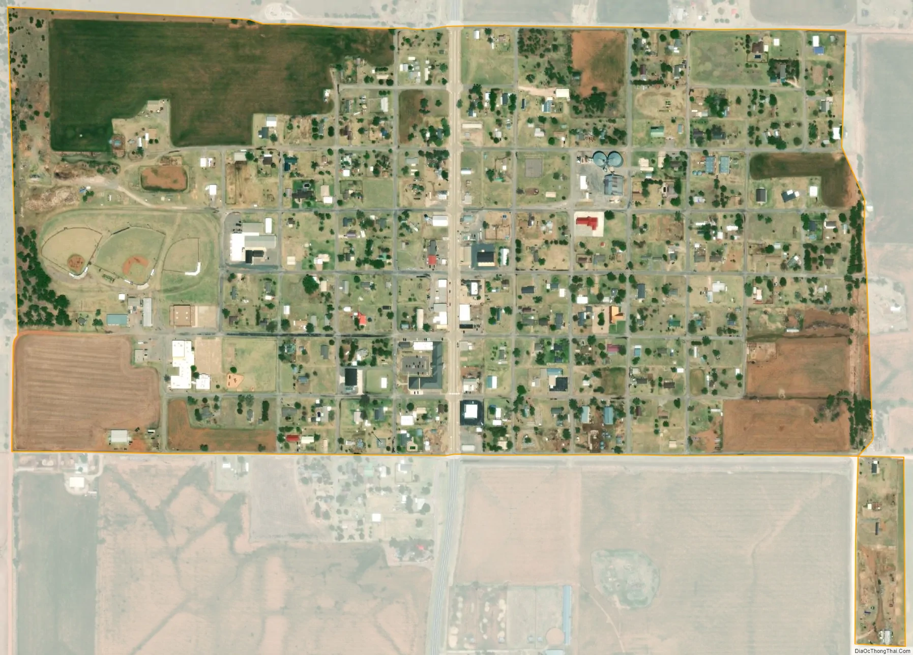
Taloga city Satellite Map
Geography
Taloga is located at 36°2′25″N 98°57′48″W / 36.04028°N 98.96333°W / 36.04028; -98.96333 (36.040273, -98.963363). It is 37 miles (60 km) north of Clinton. According to the United States Census Bureau, the town has a total area of 0.5 square miles (1.3 km), all land. The Canadian River flows nearby.
Canton Lake is to the east-northeast.
See also
Map of Oklahoma State and its subdivision:- Adair
- Alfalfa
- Atoka
- Beaver
- Beckham
- Blaine
- Bryan
- Caddo
- Canadian
- Carter
- Cherokee
- Choctaw
- Cimarron
- Cleveland
- Coal
- Comanche
- Cotton
- Craig
- Creek
- Custer
- Delaware
- Dewey
- Ellis
- Garfield
- Garvin
- Grady
- Grant
- Greer
- Harmon
- Harper
- Haskell
- Hughes
- Jackson
- Jefferson
- Johnston
- Kay
- Kingfisher
- Kiowa
- Latimer
- Le Flore
- Lincoln
- Logan
- Love
- Major
- Marshall
- Mayes
- McClain
- McCurtain
- McIntosh
- Murray
- Muskogee
- Noble
- Nowata
- Okfuskee
- Oklahoma
- Okmulgee
- Osage
- Ottawa
- Pawnee
- Payne
- Pittsburg
- Pontotoc
- Pottawatomie
- Pushmataha
- Roger Mills
- Rogers
- Seminole
- Sequoyah
- Stephens
- Texas
- Tillman
- Tulsa
- Wagoner
- Washington
- Washita
- Woods
- Woodward
- Alabama
- Alaska
- Arizona
- Arkansas
- California
- Colorado
- Connecticut
- Delaware
- District of Columbia
- Florida
- Georgia
- Hawaii
- Idaho
- Illinois
- Indiana
- Iowa
- Kansas
- Kentucky
- Louisiana
- Maine
- Maryland
- Massachusetts
- Michigan
- Minnesota
- Mississippi
- Missouri
- Montana
- Nebraska
- Nevada
- New Hampshire
- New Jersey
- New Mexico
- New York
- North Carolina
- North Dakota
- Ohio
- Oklahoma
- Oregon
- Pennsylvania
- Rhode Island
- South Carolina
- South Dakota
- Tennessee
- Texas
- Utah
- Vermont
- Virginia
- Washington
- West Virginia
- Wisconsin
- Wyoming