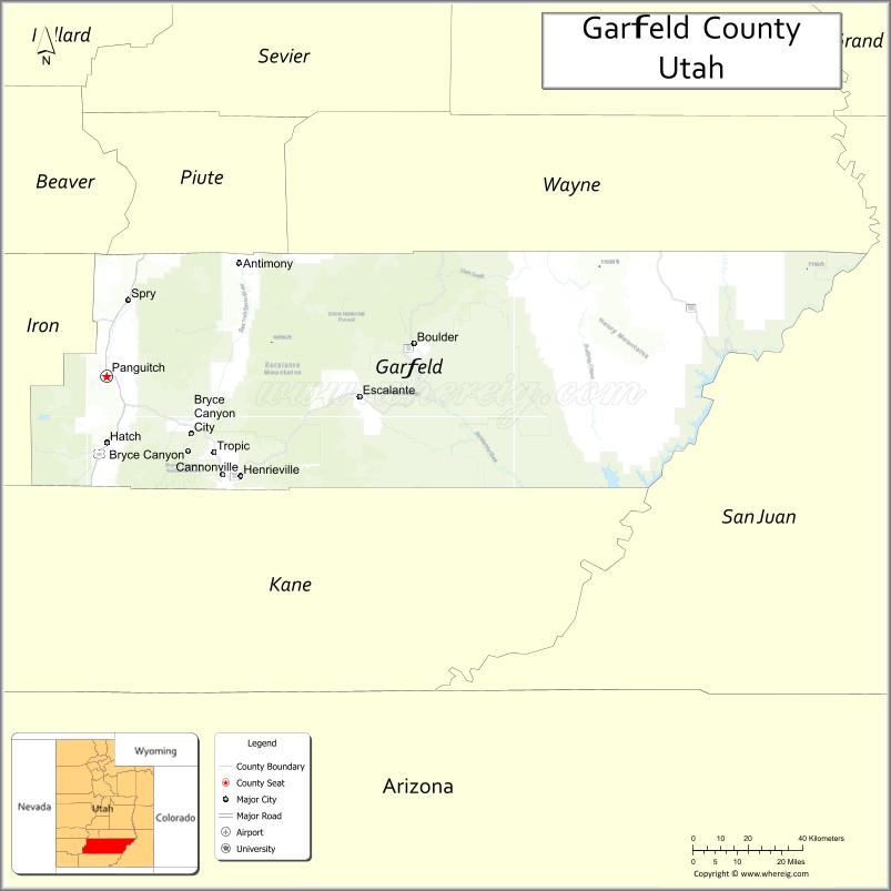
Garfield County is a county in south central Utah, United States. As of the 2010 United States Census the population was 5,172, making it the fifth-least populous county in Utah; with about 0.98 inhabitants per square mile, it is also the least densely populated county in Utah. Its county seat and largest city is Panguitch.
| Name: | Garfield County |
|---|---|
| FIPS code: | 49-017 |
| State: | Utah |
| Founded: | March 9, 1882 |
| Named for: | James A. Garfield |
| Seat: | Panguitch |
| Largest city: | Panguitch |
| Total Area: | 5,208 sq mi (13,490 km²) |
| Land Area: | 5,175 sq mi (13,400 km²) |
| Total Population: | 5,083 |
| Population Density: | 0.98/sq mi (0.38/km²) |
| Time zone: | UTC−7 (Mountain) |
| Summer Time Zone (DST): | UTC−6 (MDT) |
| Website: | garfield.utah.gov |
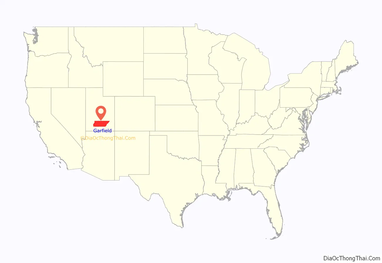
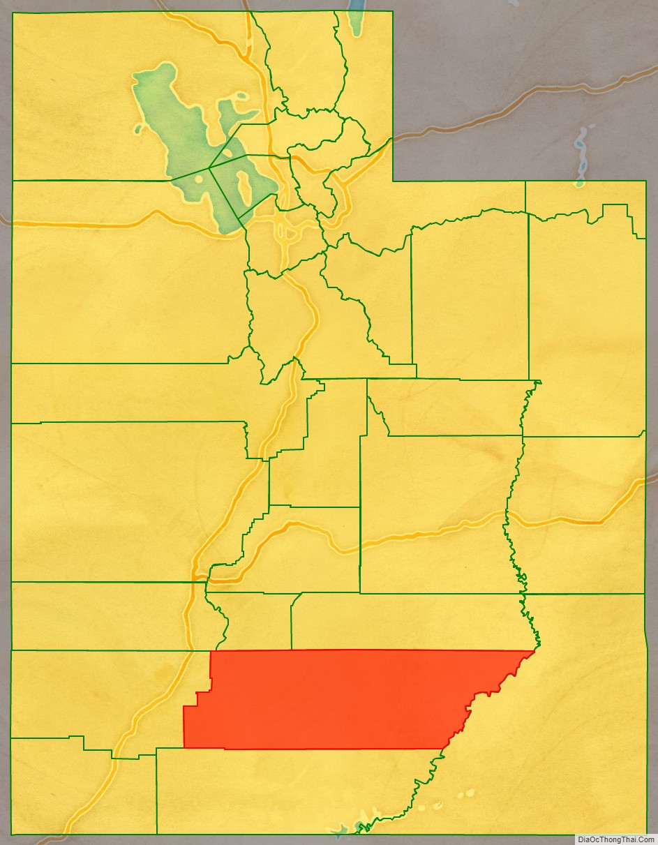
Garfield County location map. Where is Garfield County?
History
The Utah Territory legislature created the county on March 9, 1882, with areas partitioned from Iron County. It was named for James A. Garfield, the twentieth President of the United States, who had died six months earlier. The border with Iron County was adjusted in 1884, and Garfield County’s boundaries have remained intact since then.
Garfield County Road Map
Geography
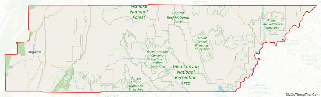
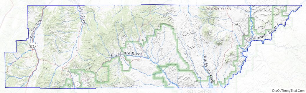
The Colorado River, flowing southwestward through a deep gorge, forms the eastern boundary. The Dirty Devil River flows southward through the east end of the county to discharge into Colorado at the county’s border. Westward, the cliffs of tributary canyons give way to the barren stretches of the San Rafael Desert, beyond which a variety of mountains, plateaus, and canyons make up the terrain. Most of Bryce Canyon National Park lies in the southwestern part of the county, and the northern half of the Grand Staircase–Escalante National Monument occupies the middle of the county. A large portion of Capitol Reef National Park lies in the east-central part of the county. A very small part of Canyonlands National Park lies in the northeast corner of the county. The terrain of Garfield County is arid, rough, and carved with erosion. The county terrain generally slopes to the south and to the east. The county’s highest point is Mount Ellen, in the Henry Mountains, near the county’s north border, at 11,522′ (3512m) ASL. The county has a total area of 5,208 square miles (13,490 km), of which 5,175 square miles (13,400 km) is land and 33 square miles (85 km) (0.6%) is water. It is the fifth-largest county in Utah by area.
Airports
- Bryce Canyon Airport (BCE)
Major highways
- US Highway 89
- Utah Highway 12
- Utah Highway 22
- Utah Highway 63
- Utah Highway 95
- Utah Highway 143
- Utah Highway 276
Adjacent counties
- Wayne County – northeast
- San Juan County – east
- Kane County – south
- Iron County – west
- Beaver County – northwest
- Piute County – north
Protected areas
- Bryce Canyon National Park (part)
- Canyonlands National Park (part)
- Capitol Reef National Park (part)
- Carcass Canyon Wilderness Study Area
- Dixie National Forest (part)
- Escalante Petrified Forest
- Fishlake National Forest (part)
- Glen Canyon National Recreation Area (part)
- Grand Staircase–Escalante National Monument (part)
- Mammoth Cave (US Forest Service)
Lakes
- Lake Powell (part)
- Panguitch Lake
- Wide Hollow Reservoir
Garfield County Topographic Map
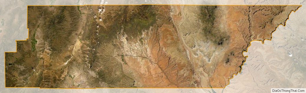
Garfield County Satellite Map
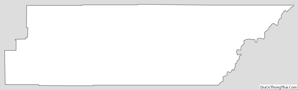
Garfield County Outline Map