Piute County (/ˈpaɪjuːt/ PY-yoot) is a county in south-central Utah, United States. As of the 2010 United States Census, the population was 1,556, making it the second-least populous county in Utah. The county seat is Junction, and the largest town is Circleville.
| Name: | Piute County |
|---|---|
| FIPS code: | 49-031 |
| State: | Utah |
| Founded: | January 16, 1865 |
| Named for: | Paiute Native Americans |
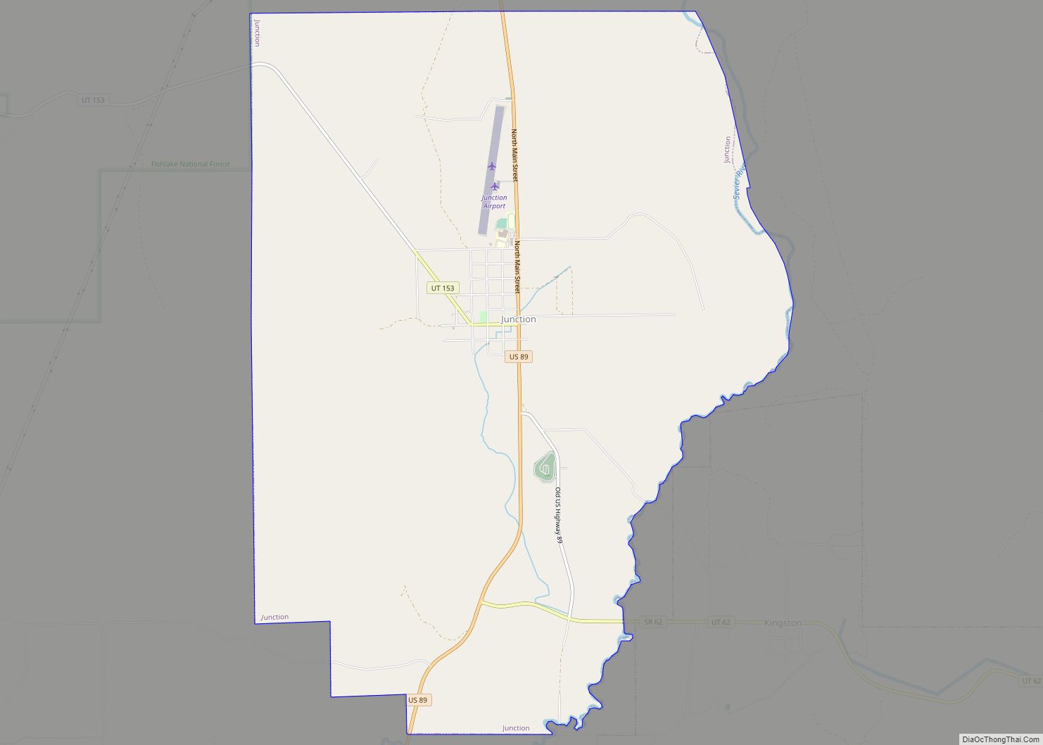
| Seat: | Junction |
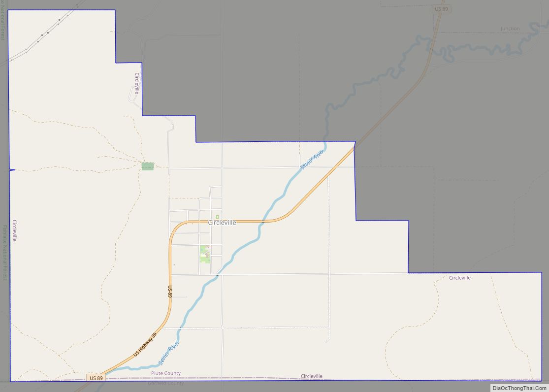
| Largest town: | Circleville |
| Total Area: | 766 sq mi (1,980 km²) |
| Land Area: | 758 sq mi (1,960 km²) |
| Total Population: | 1,438 |
| Population Density: | 1.9/sq mi (0.72/km²) |
| Time zone: | UTC−7 (Mountain) |
| Summer Time Zone (DST): | UTC−6 (MDT) |
| Website: | www.piuteutah.com |
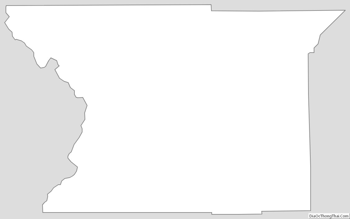
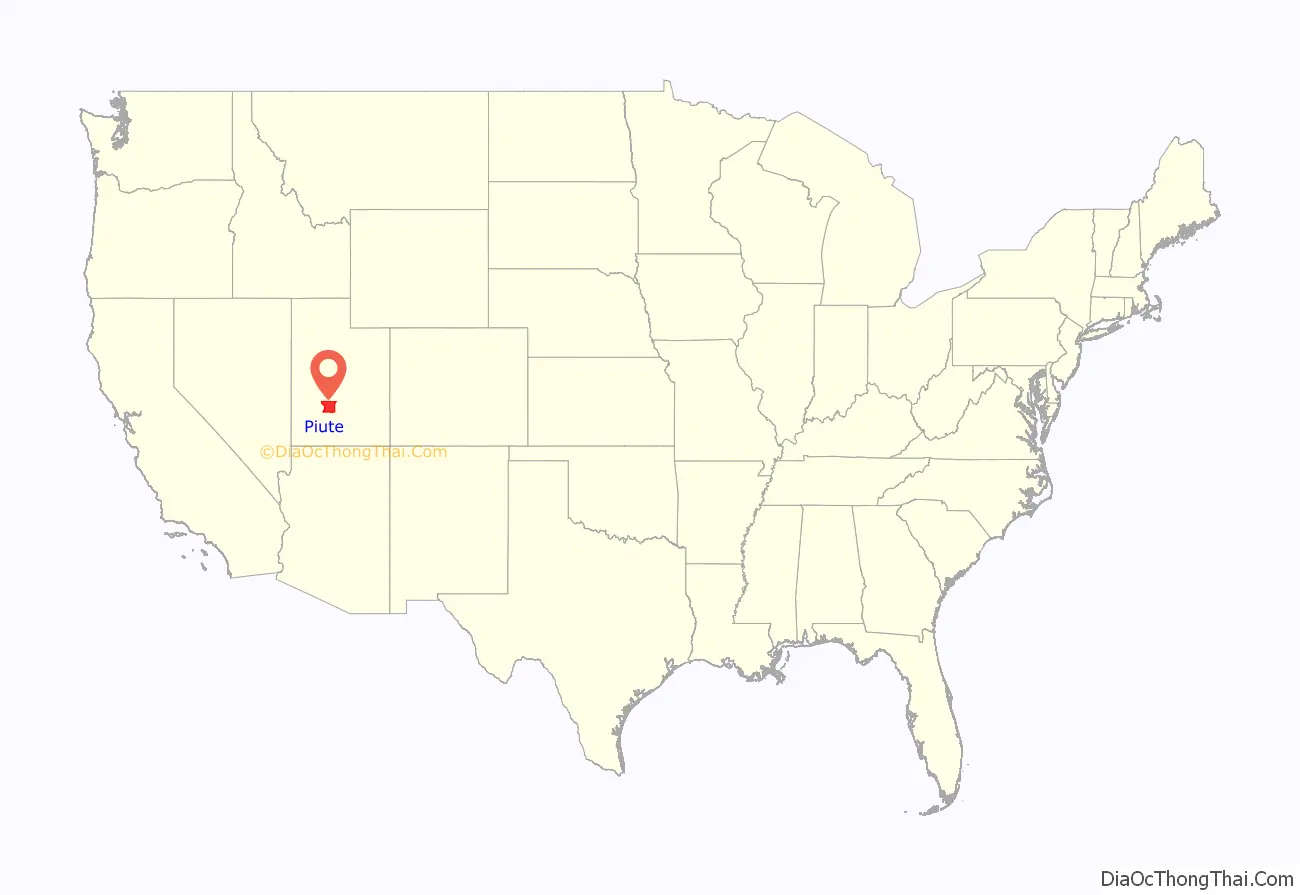
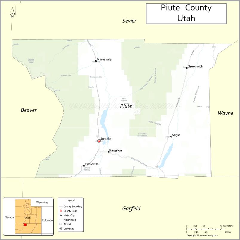
Piute County location map. Where is Piute County?
History
Paiute County was formed on January 16, 1865, with areas annexed from Beaver County. It was named for the Paiute tribe of Native Americans. Its defined boundaries were altered by adjustments between adjoining counties in 1866, in 1880, in 1892, and in 1931. It has retained its current configuration since 1931.
By the 1860s, mining prospectors were pushing into central and southern Utah Territory, and several mining towns, such as Bullion and Webster, appeared. Mining activity had slowed by the 1900s, but gold mining (from lodes in Tushar Mountains) had produced 240,000 ounces of gold from 1868 through 1959. As the nation entered The Great War, a mine on the east Tushar Mountains producing potash and alumina became a national center of attention, both because of the strategic value of these products, and because of persistent rumors of sabotage attempts and spying. The town of Alunite flourished (1915-1930), then died as the war effort wound down. Today it is abandoned.
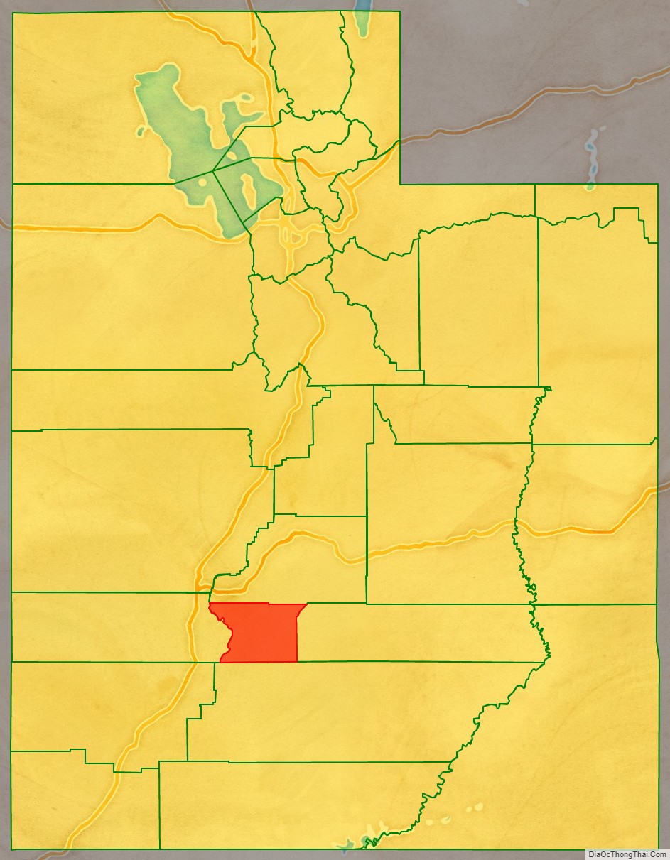
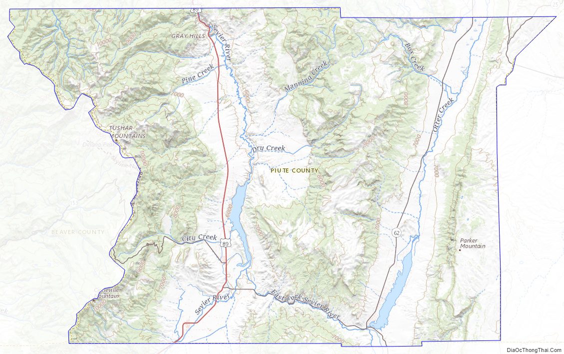
Piute County Road Map
Geography
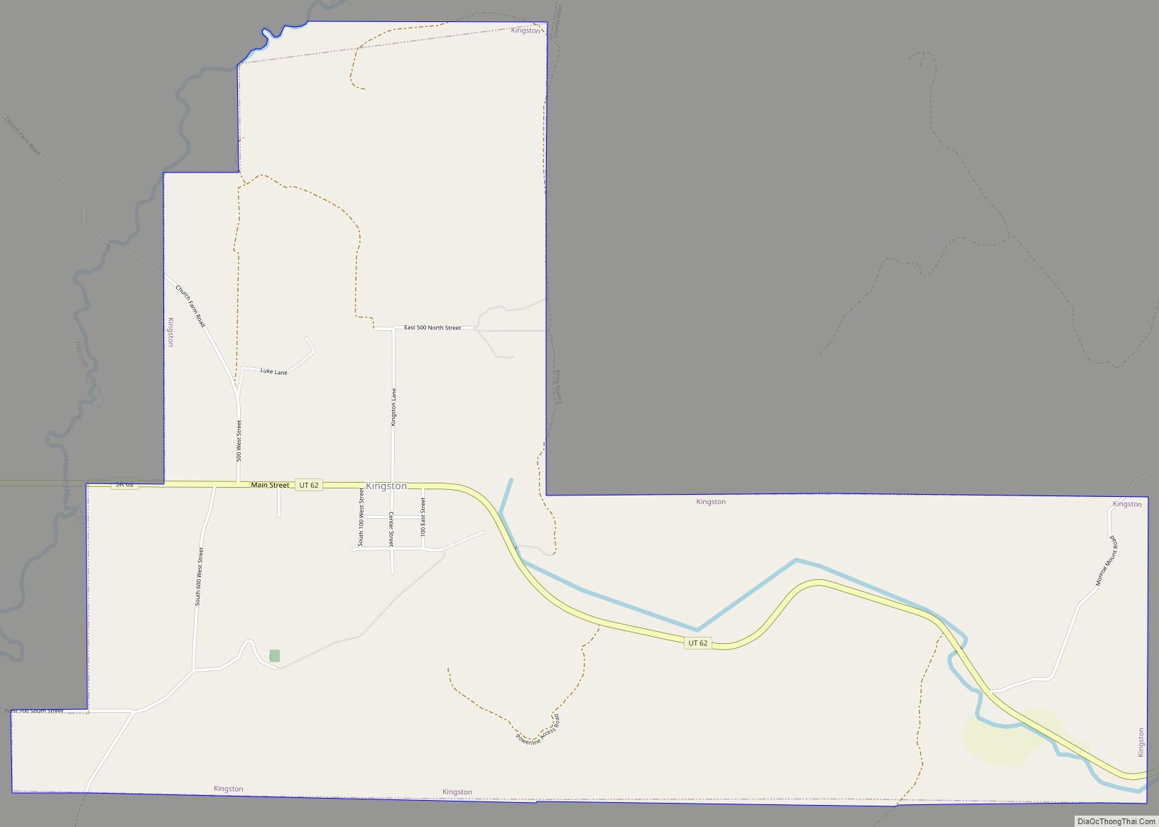
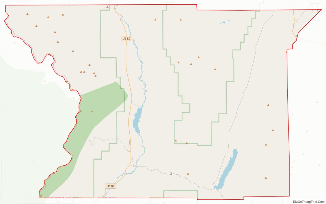
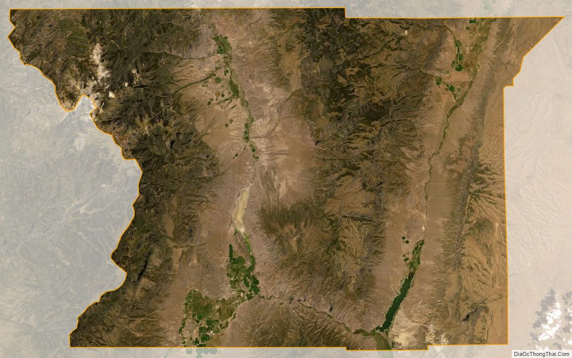
The Sevier River flows northward through the west-central part of Piute County, joined at Kingston by the East Branch of the Sevier. Immediately north of Kingston, it is dammed to form Piute Reservoir. Two mountain ridges lie north–south across the county. The eastern ridge runs through the east-central part of the county, and the western ridge (Tushar Mountains) runs along the county’s west border, its crestline defining the county line. Otter Creek flows southward through the east part of the county; it is dammed to form Otter Creek Reservoir in the SE part of the county. Along the way it is fed by Greenwich Creek and Box Creek, draining the east face of the eastern ridge. The eastern part of the county generally slopes to the south while the west-central part of the county slopes to the north. The county’s highest point is Delano Peak on the Tushar Range, at 12,174′ (3711m) ASL. The highest point on the eastern ridge is a crest near the county’s north border, at 9.893′ (3015.5m) ASL. The county has a total area of 766 square miles (1,980 km), of which 758 square miles (1,960 km) is land and 7.9 square miles (20 km) (1.0%) is water. It is the fifth-smallest county in Utah by total area.
Adjacent counties
- Sevier County (north)
- Wayne County (east)
- Garfield County (south)
- Beaver County (west)
Protected areas
- Dixie National Forest (part)
- Fishermans Bench Recreation Site
- Fishlake National Forest (part)]
- Otter Creek State Park
- Piute State Park
Lakes
- Barney Lake
- Big Flat Reservoir
- Burnt Flat Reservoir
- Butte Reservoir
- Chicken Spring
- Clause Pond
- Dead Horse Reservoir
- Death Hollow Reservoir
- Dog Lake
- Dry Lake (southeast of Marysvale)
- Dry Lake (east of Piute Reservoir)
- Dry Wash Pond
- Durkee Reservoir
- Fish Lake Reservoir
- Forshea Reservoir
- Forshea Spring
- Forshea Spring Reservoir
- Hell Hole Reservoir
- Hidden Lake
- Little Meadows
- Little Park
- Lower Box Creek Reservoir
- Manning Meadows Reservoir
- Middle Spring Lake
- Mud Lake
- Nicks Pond
- Otter Creek Reservoir
- Parker Lake
- Pine Point Reservoir
- Pole Canyon Reservoir
- Piute Reservoir
- Rock Canyon Reservoir
- Rock Spring
- Rocky Ford Reservoir
- Smiths Reservoir
- Taylor Pond
- Tuft Reservoir
- Upper Box Creek Reservoir
- Voyles Pond
- West Cedar Grove Reservoir
- Willis Reservoir
- Wills Reservoir
- Willow Spring
- Willow Springs
- Windy Ridge Reservoir
- Wood Pond
Piute County Topographic Map
Piute County Satellite Map
Piute County Outline Map