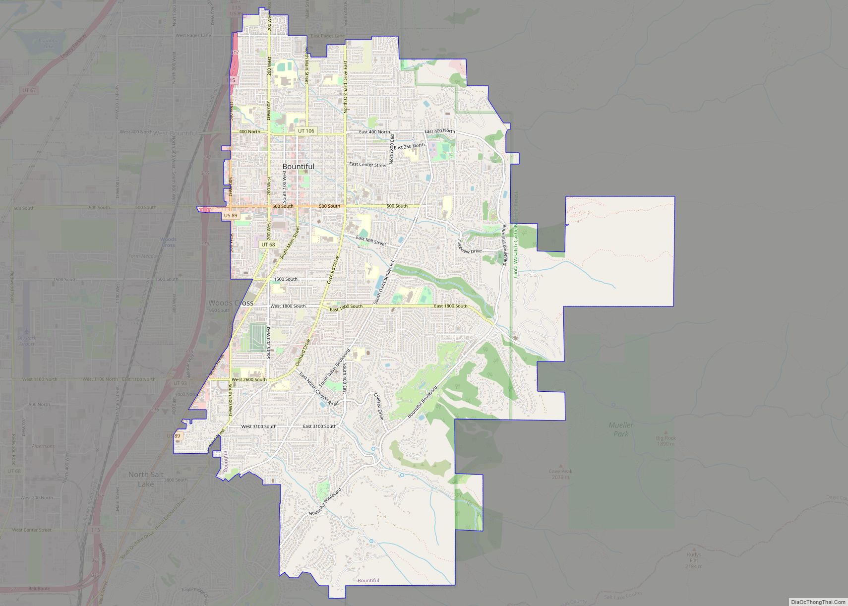
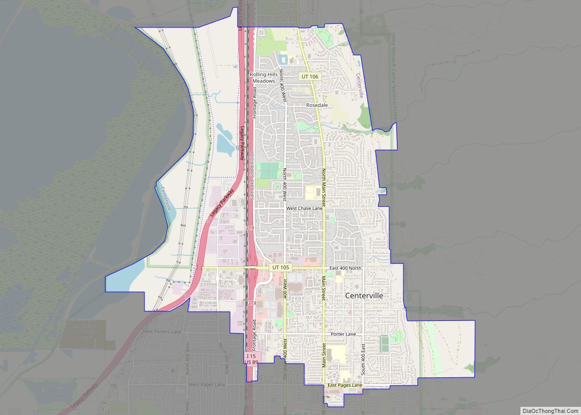
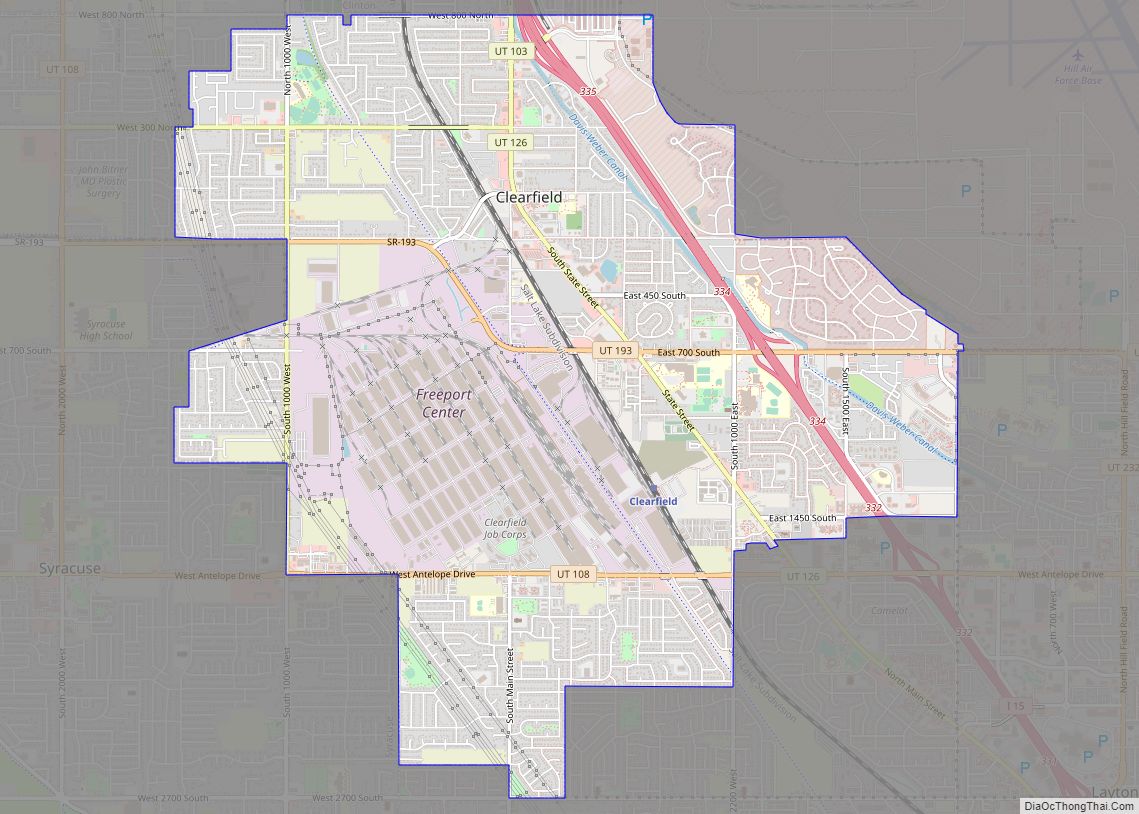
Davis County is a county in northern Utah, United States. As of the 2010 United States Census, the population was 306,479, making it Utah’s third-most populous county. Its county seat is Farmington, and its largest city is Layton.
Davis County is part of the Ogden–Clearfield, UT Metropolitan Statistical Area as well as the Salt Lake City–Provo–Orem, UT Combined Statistical Area.
| Name: | Davis County |
|---|---|
| FIPS code: | 49-011 |
| State: | Utah |
| Founded: | October 5, 1850 |
| Named for: | Daniel C. Davis |
| Seat: | Farmington |
| Largest city: | Layton |
| Total Area: | 634 sq mi (1,640 km²) |
| Land Area: | 299 sq mi (770 km²) |
| Total Population: | 362,679 |
| Population Density: | 570/sq mi (220/km²) |
| Time zone: | UTC−7 (Mountain) |
| Summer Time Zone (DST): | UTC−6 (MDT) |
| Website: | www.daviscountyutah.gov |
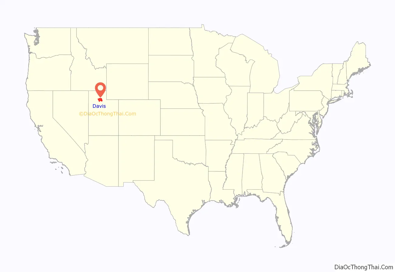
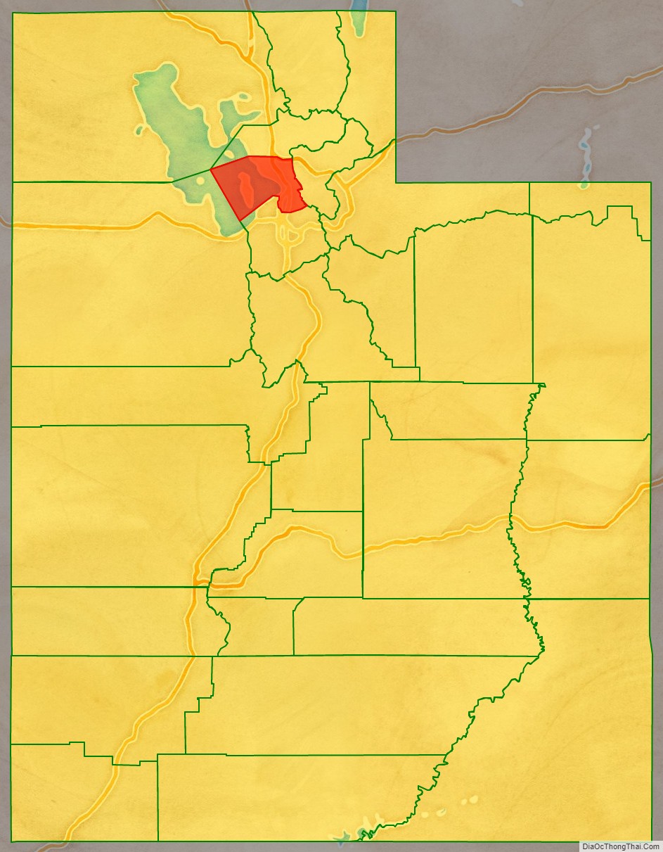
Davis County location map. Where is Davis County?
History
The legislature of the provisional State of Deseret defined the county in an October 5, 1850 act, which also designated Farmington as the seat due to its location midway between boundaries at the Weber River on the north and the Jordan River on the south. It was named for Daniel C. Davis, a captain in the Mormon Battalion. The county boundaries were altered in 1852, 1854, 1855, and in 1862. In 1880 the county gained part of the islands and waters of Great Salt Lake that had previously been attached to Salt Lake County. The county boundary has remained unchanged since that time.
During its first 50 years, Davis County grew slowly. With the advent of the Utah Central Rail Road in 1870, a transition to mechanized agriculture and a surge of commerce, banking, improved roads, new water systems, and electrification of homes began. However, by 1940, the population was barely 16,000.
With the establishment of Hill Air Force Base in northern Davis County and southern Weber County, there was a surge in civilian employment after World War II. The county doubled in population between 1940 and 1950 and doubled again between 1950 and 1960 as part of the nationwide suburb boom that was occurring at the time. By 1990 there were 188,000 residents, and in 2000, there were 239,000. By 2030, the county is expected to have a population of about 360,000.
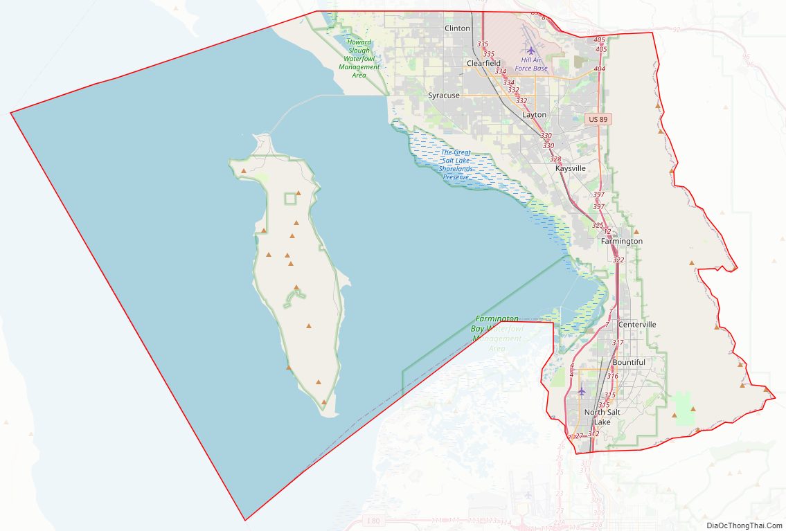
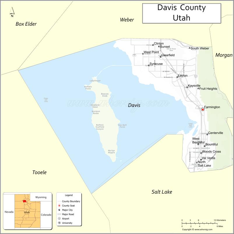
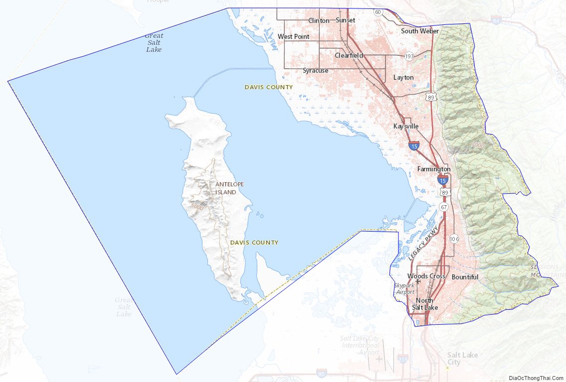
Davis County Road Map
Geography
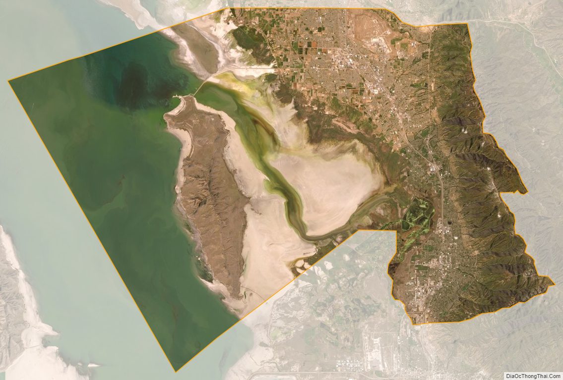
Davis County has an area of 634 square miles (1,640 km), of which 299 square miles (770 km) is land and 335 square miles (870 km) (53%) is water. It is Utah’s smallest county by land area and second smallest by total area.
The county lies generally between the Great Salt Lake on the west and the Wasatch Range on the east, which rises to a height of 9,707 feet (2,959 m) in the county at Thurston Peak.
The Great Salt Lake is surrounded by marshland and mudflats, and lies at an average elevation of approximately 4,200 feet (1,300 m), varying depending on the water level, which can lead to drastic changes in the lake size due to its shallowness. Davis County includes Antelope Island, the lake’s largest island. The entire island is a state park, designated to protect natural scenery and especially wildlife on the island, which includes bighorn sheep, pronghorn, and a bison herd.
The inhabited portion of Davis County between the lake and the mountain range is called the Wasatch Front, a narrow stretch of land that restricts north-south transportation in the county.
Adjacent counties
- Weber County – north
- Morgan County – east
- Salt Lake County – south
- Tooele County – west
- Box Elder County – northwest
Protected areas
- Antelope Island State Park
- Crystal West Unit Farmington Bay (part)
- Farmington Bay Waterfowl Management Area
- Howard Slough Waterfowl Management Area
- Wasatch-Cache National Forest (part)
Lakes
- Adams Reservoir
- Farmington Bay
- Hobbs Reservoir
- Holmes Reservoir
Davis County Topographic Map
Davis County Satellite Map
Davis County Outline Map