Jasper County is a county located in the U.S. state of Texas. As of the 2020 census, its population was 32,980. Its county seat is Jasper. The county was created as a municipality in Mexico in 1834, and in 1837 was organized as a county in the Republic of Texas. It is named for William Jasper, an American Revolutionary War hero.
| Name: | Jasper County |
|---|---|
| FIPS code: | 48-241 |
| State: | Texas |
| Founded: | 1837 |
| Named for: | William Jasper |
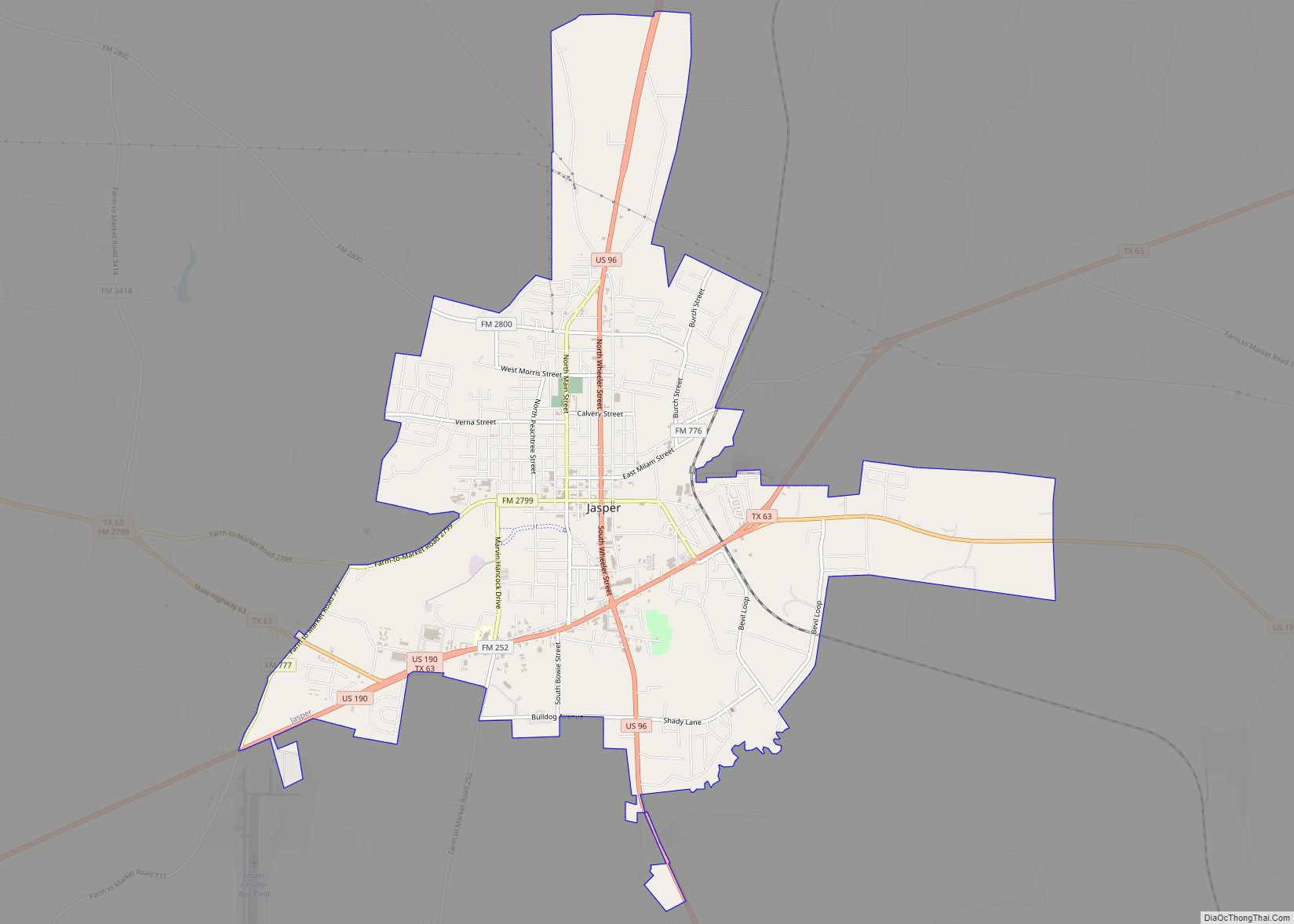
| Seat: | Jasper |
| Largest city: | Jasper |
| Total Area: | 970 sq mi (2,500 km²) |
| Land Area: | 939 sq mi (2,430 km²) |
| Total Population: | 32,980 |
| Population Density: | 34/sq mi (13/km²) |
| Time zone: | UTC−6 (Central) |
| Summer Time Zone (DST): | UTC−5 (CDT) |
| Website: | www.co.jasper.tx.us |
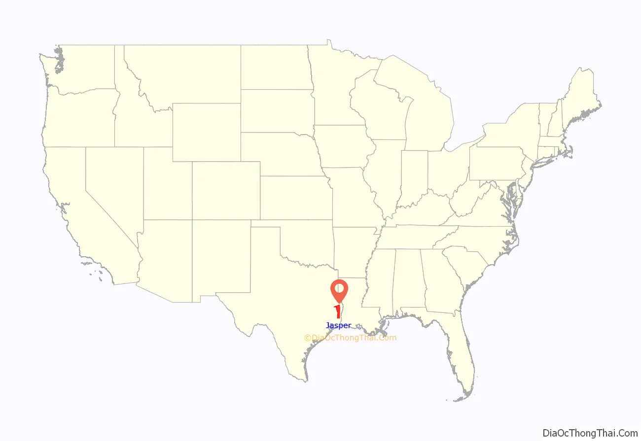
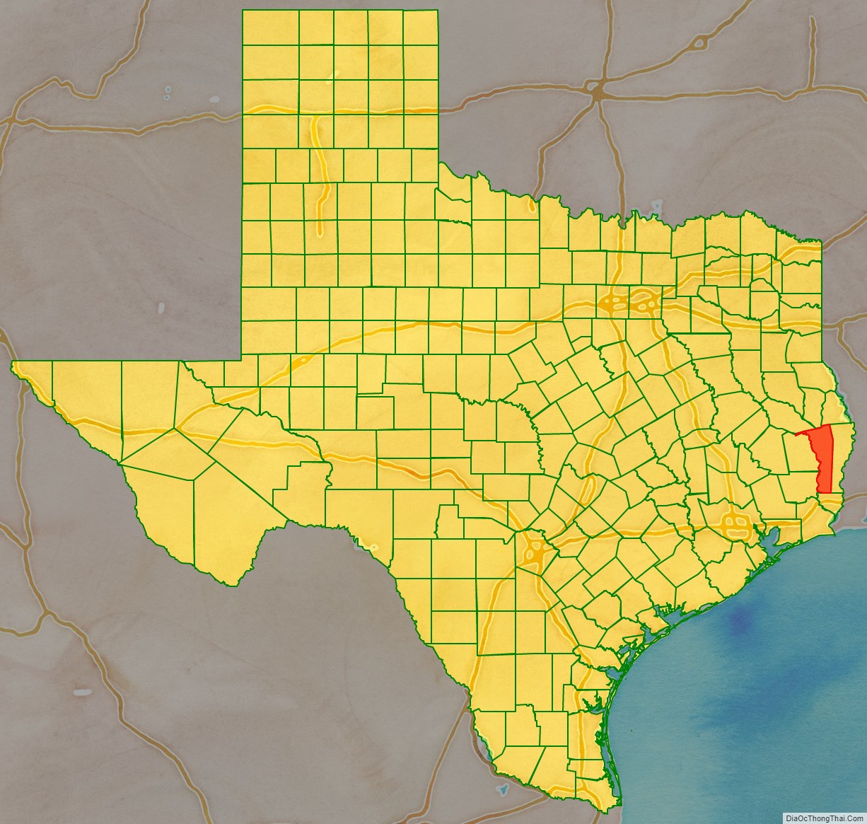
Jasper County location map. Where is Jasper County?
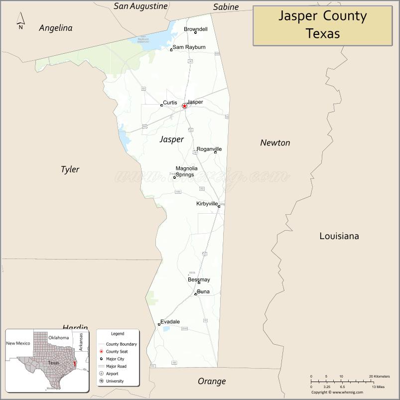
Jasper County Road Map
Geography
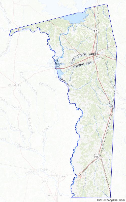
According to the U.S. Census Bureau, the county has a total area of 970 square miles (2,500 km), of which 939 square miles (2,430 km) are land and 31 square miles (80 km) (3.2%) are covered by water.
Major highways
- U.S. Highway 69
- U.S. Highway 96
- U.S. Highway 190
- State Highway 62
- State Highway 63
- Recreational Road 255
Adjacent counties
- San Augustine County (north)
- Sabine County (northeast)
- Newton County (east)
- Orange County (south)
- Hardin County (southwest)
- Tyler County (west)
- Angelina County (northwest)
National protected areas
- Angelina National Forest (part)
- Big Thicket National Preserve (part)
- Sabine National Forest (part)
Jasper County Topographic Map
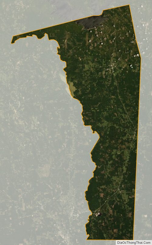
Jasper County Satellite Map
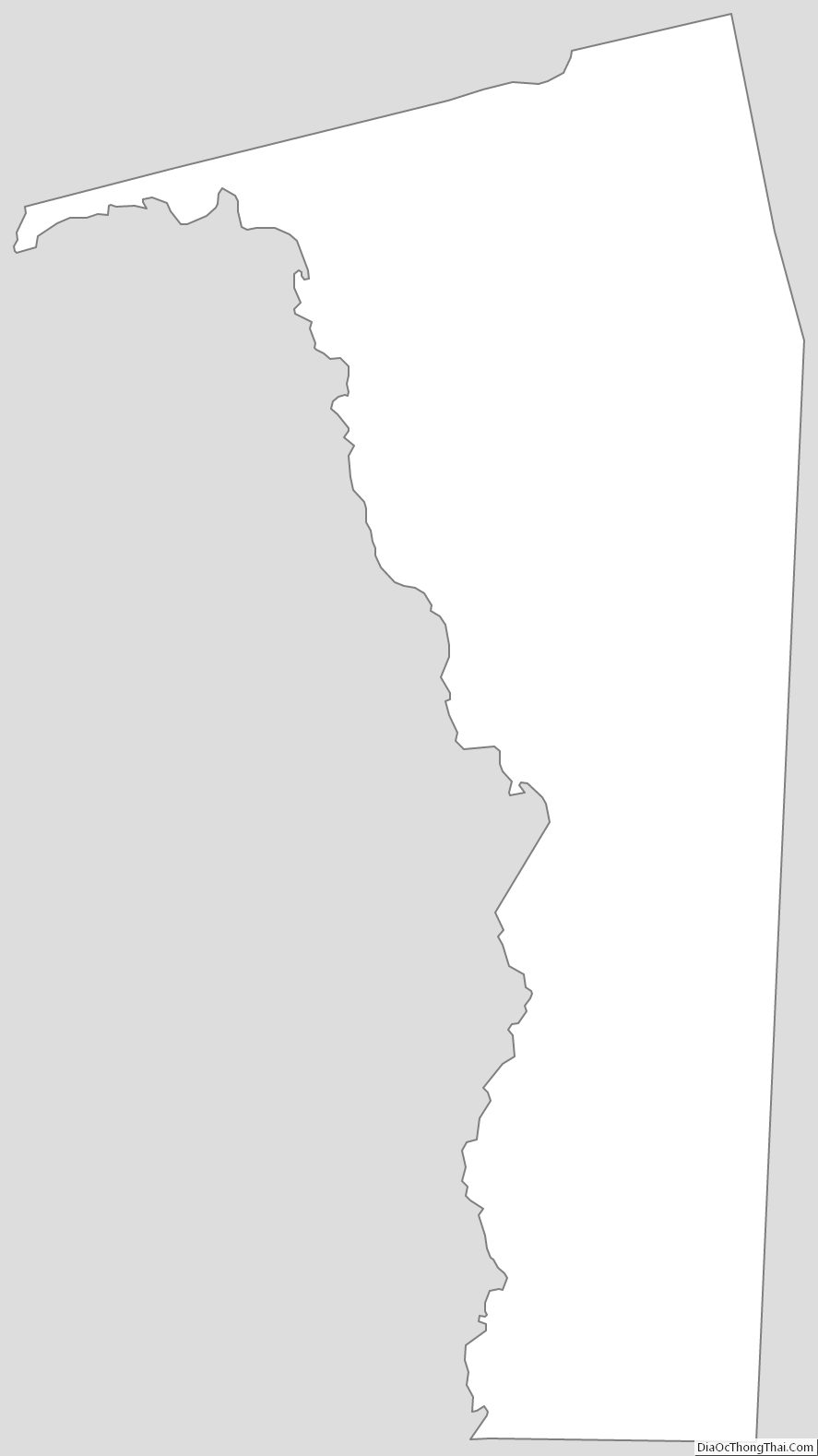
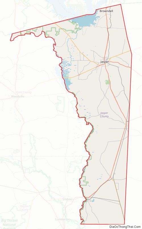
Jasper County Outline Map