Orange County is a county located in the very southeastern corner of the U.S. state of Texas, sharing a boundary with Louisiana, within the Golden Triangle of Texas. As of the 2020 census, its population was 84,808. The county seat is the city of Orange, and it falls within the Beaumont–Port Arthur metropolitan area.
| Name: | Orange County |
|---|---|
| FIPS code: | 48-361 |
| State: | Texas |
| Founded: | January 5, 1852 |
| Named for: | Orange fruit |
| Seat: | Orange |
| Largest city: | Orange |
| Total Area: | 380 sq mi (1,000 km²) |
| Land Area: | 334 sq mi (870 km²) |
| Total Population: | 84,808 |
| Population Density: | 220/sq mi (86/km²) |
| Time zone: | UTC−6 (Central) |
| Summer Time Zone (DST): | UTC−5 (CDT) |
| Website: | www.co.orange.tx.us |
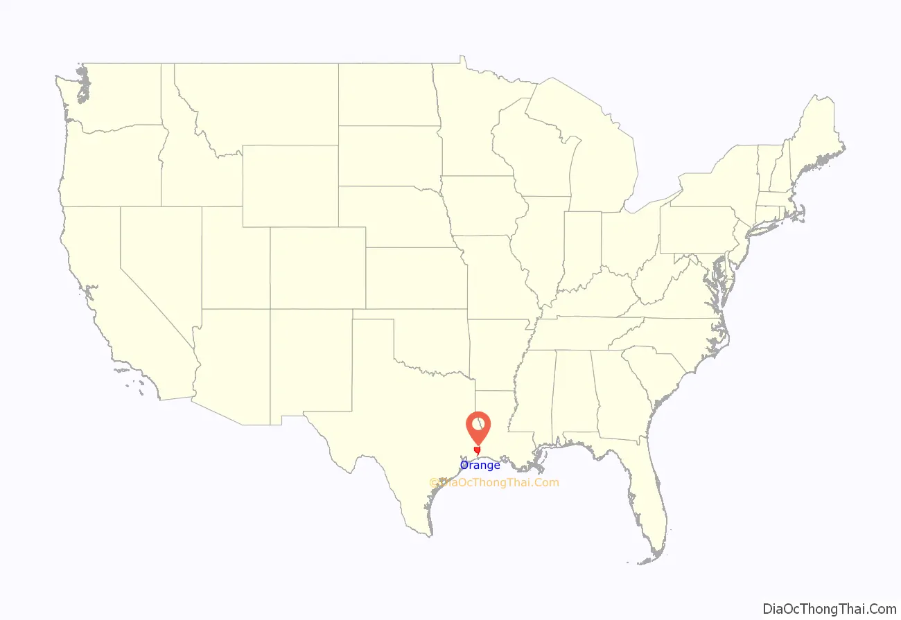
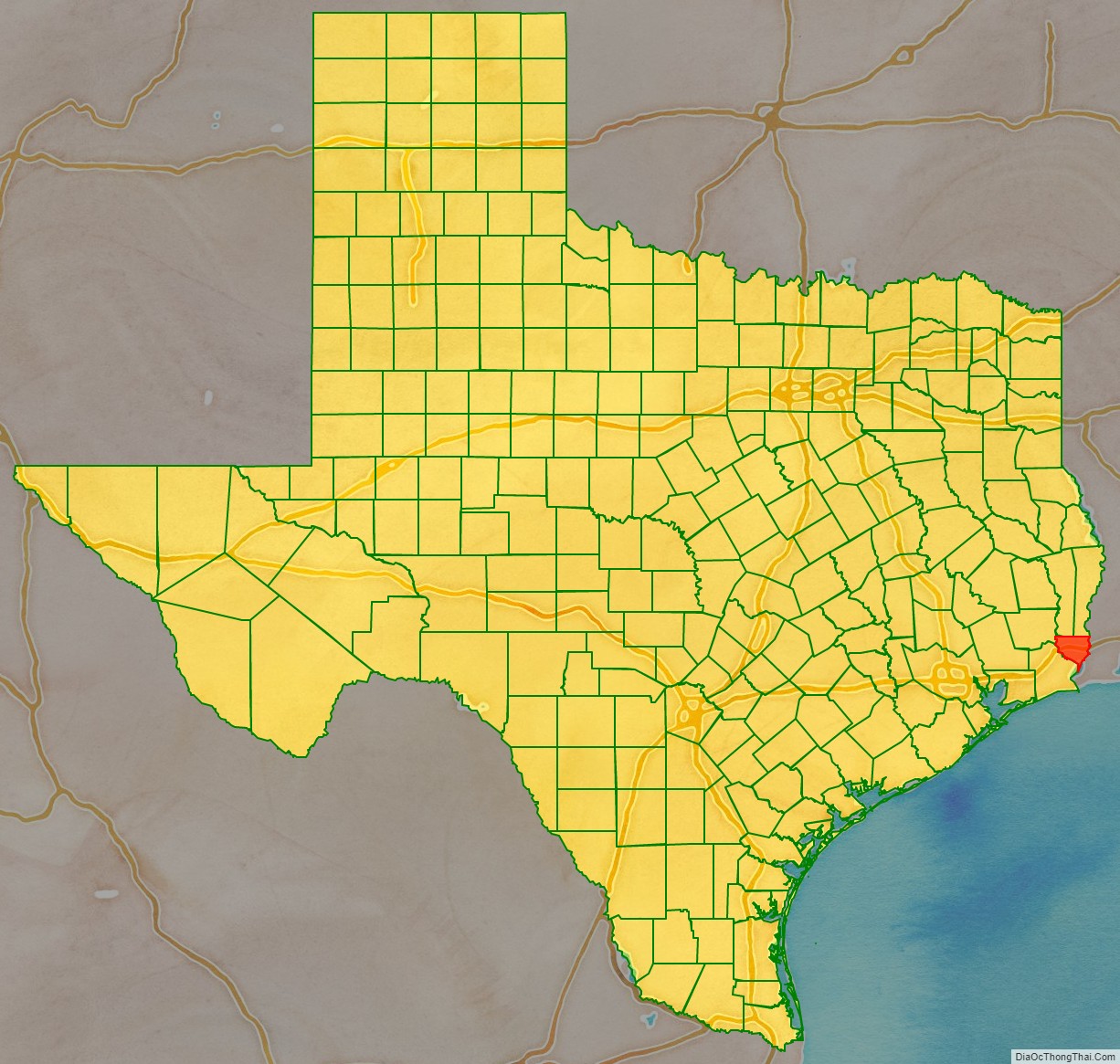
Orange County location map. Where is Orange County?
History
Orange County was formed in 1852 from portions of Jefferson County. It was named after the orange fruit, the common citrus fruit grown by the early settlers of this county near the mouth of the Sabine River. Due to periodic spells of quite cold winter weather (frosts) in Orange County, it is no longer the home of orange trees and citrus orchards. The production of those fruits in Texas long ago was moved a long way southwest into the Rio Grande Valley, where the weather is almost always warm all winter long. Citrus trees produce their fruit in the wintertime, which makes them especially vulnerable to frost and icy weather.
A similar thing has happened in Florida, where orchards of citrus trees no longer exist in either Citrus County or Orange County because of bad winter freezes in some years. In both Florida and Texas, the citrus agriculture has been moved farther south in search of milder winters, and away from the periodic frosts.
During World War II, Orange County was the home of a large amount of shipbuilding for the navies the United States and allied countries. The major shipbuilder, Consolidated Steel Corporation, was located in the town of Orange, and among the warships that it built were the USS Aulick (DD-569) (1942), the first warship built there, the USS Pope (DE-134) (1943), and the USS Carpenter (DD-825) (1945–46), the last warship built there. During the war, the Consolidate Steel Corporation employed as many as 20,000 people at its shipyard in Orange.
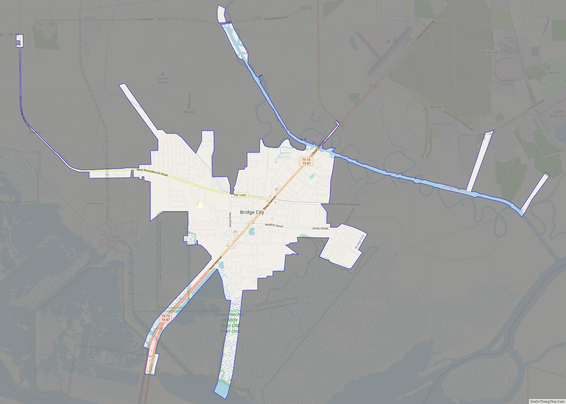
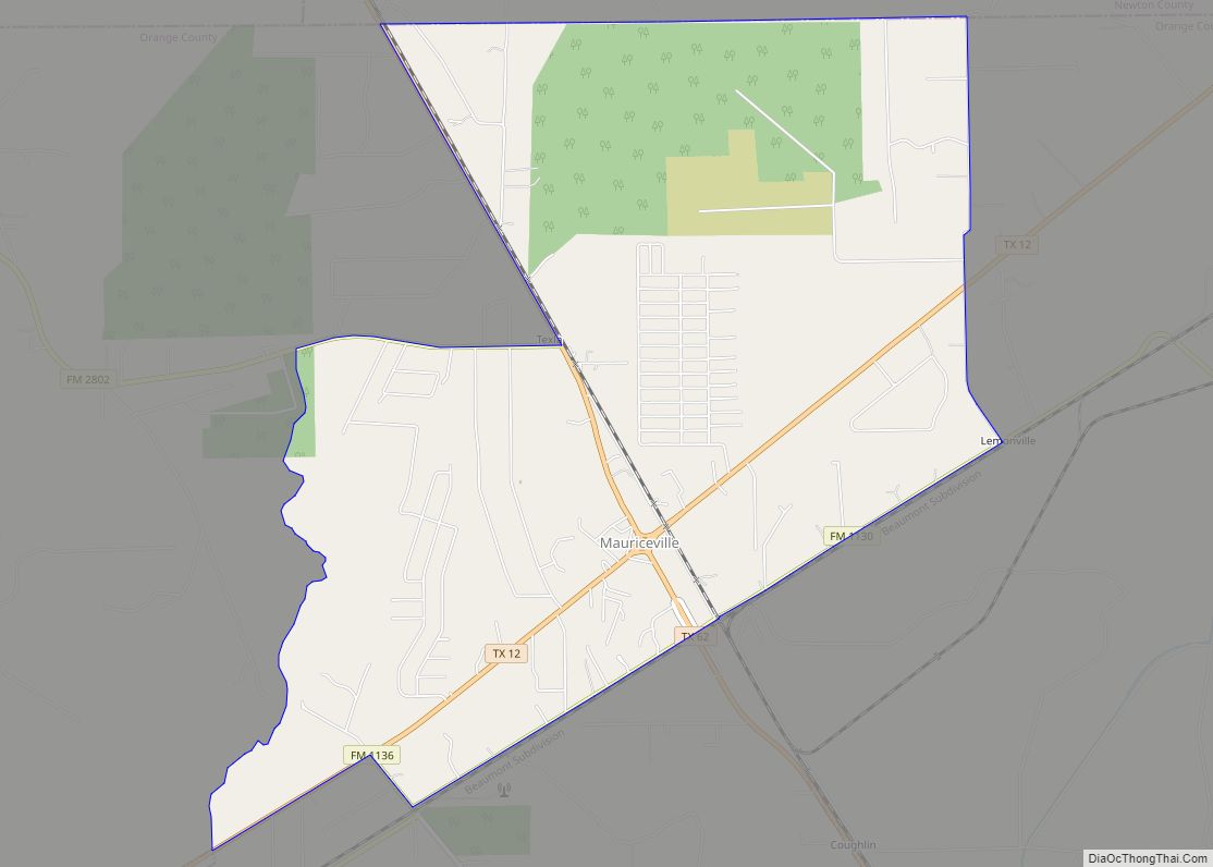
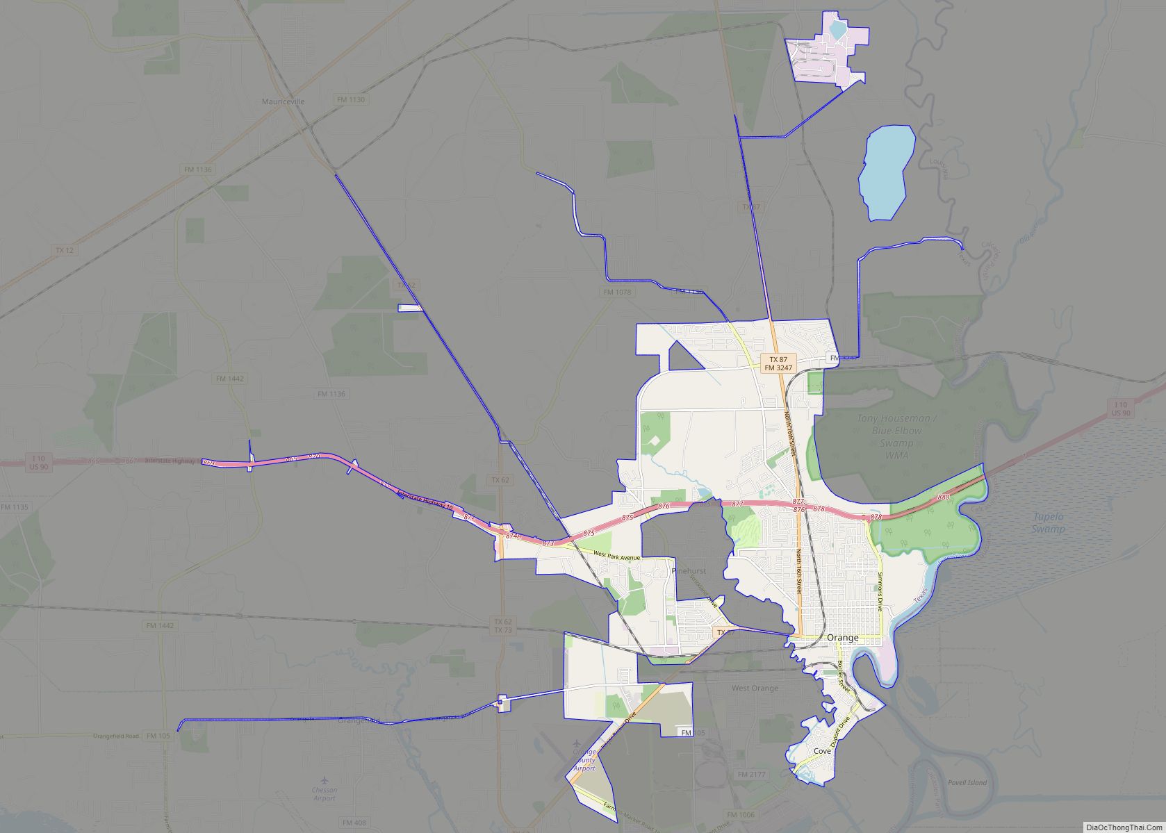
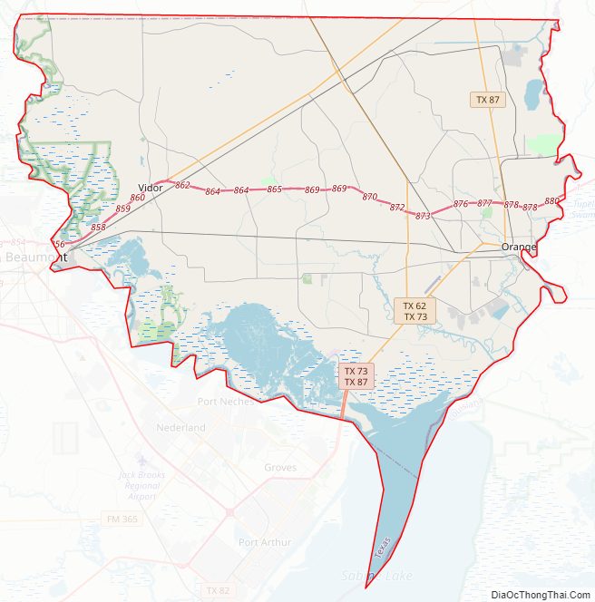
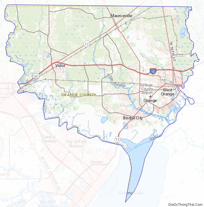
Orange County Road Map
Geography
According to the U.S. Census Bureau, the county has a total area of 380 sq mi (980 km), of which 334 sq mi (870 km) are land and 46 sq mi (120 km) (12%) are covered by water.
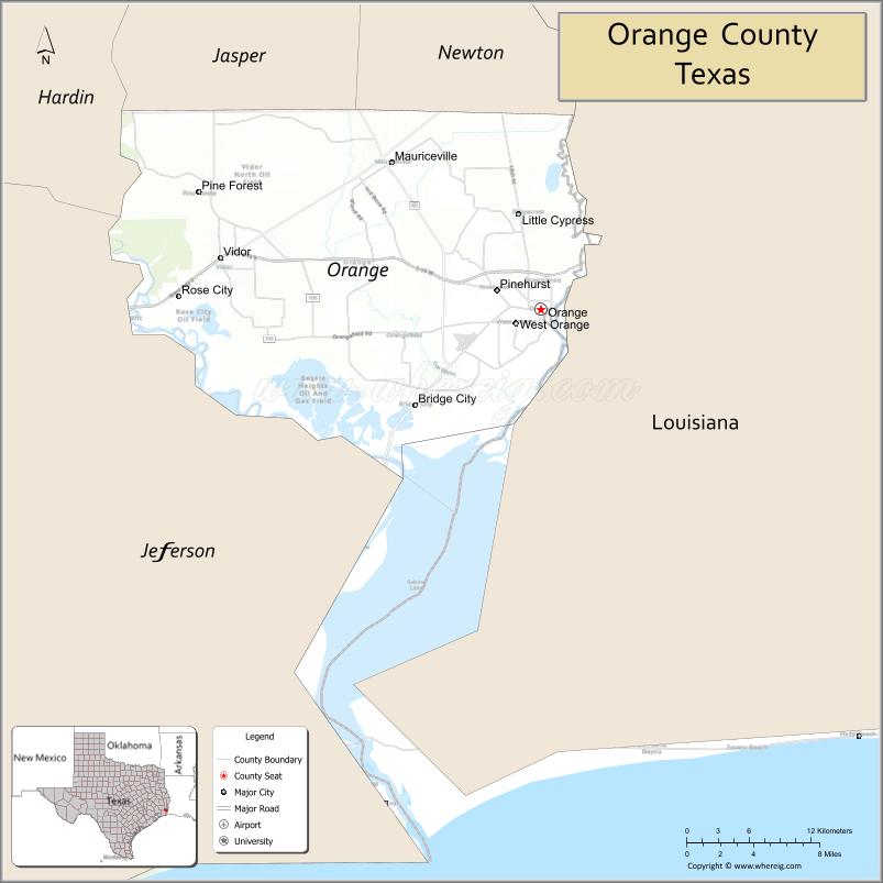
Orange County is bordered on its east by the Sabine River, on its southeast by Sabine Lake, and on the northwest by the Neches River.
The geography of Orange County varies relatively little, with an elevation that reaches 33 ft (10 m) above sea level at very few points within the county. Orange County is very flat, and its soil is quite sandy, as could be expected in a county along the Gulf of Mexico. (Sandy soil is also common in southern Louisiana, Mississippi, and Alabama, and in western and southern Florida.) Saltwater marshes occur in much of the southeastern part of Orange County that borders the Sabine River. The Piney Woods are in the northern part of the county.
Adjacent counties and parishes
- Jasper County (north)
- Newton County (north)
- Hardin County (northwest)
- Jefferson County (west)
- Calcasieu Parish, Louisiana (east)
- Cameron Parish, Louisiana (southeast)
National protected area
- Big Thicket National Preserve (part)
Orange County Topographic Map
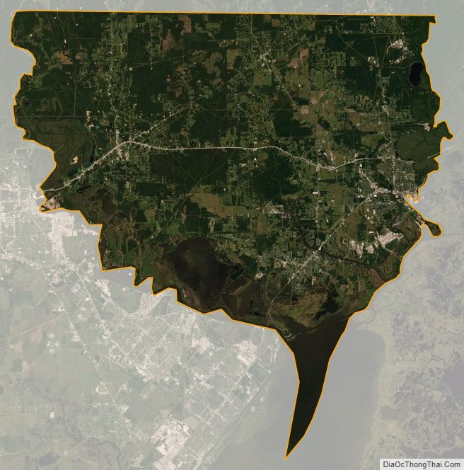
Orange County Satellite Map
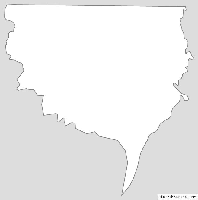
Orange County Outline Map