Jenkins County is a county located in the southeastern area of the U.S. state of Georgia. As of the 2020 census, the population was 8,674. The county seat is Millen. The county was created on August 17, 1905, and named after the 44th Governor of Georgia, Charles Jones Jenkins.
| Name: | Jenkins County |
|---|---|
| FIPS code: | 13-165 |
| State: | Georgia |
| Founded: | 1905 |
| Named for: | Charles Jones Jenkins |
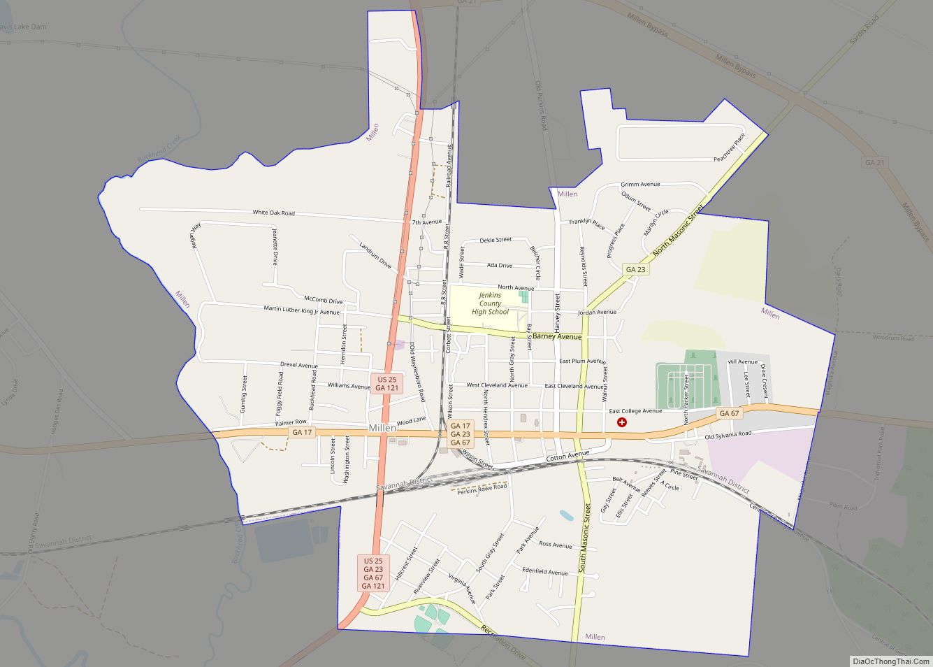
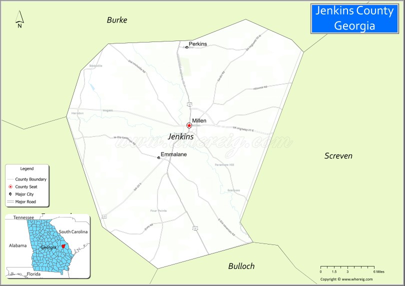
| Seat: | Millen |
| Largest city: | Millen |
| Total Area: | 352 sq mi (910 km²) |
| Land Area: | 347 sq mi (900 km²) |
| Total Population: | 8,674 |
| Population Density: | 25/sq mi (10/km²) |
| Time zone: | UTC−5 (Eastern) |
| Summer Time Zone (DST): | UTC−4 (EDT) |
| Website: | www.jenkinscountyga.com |
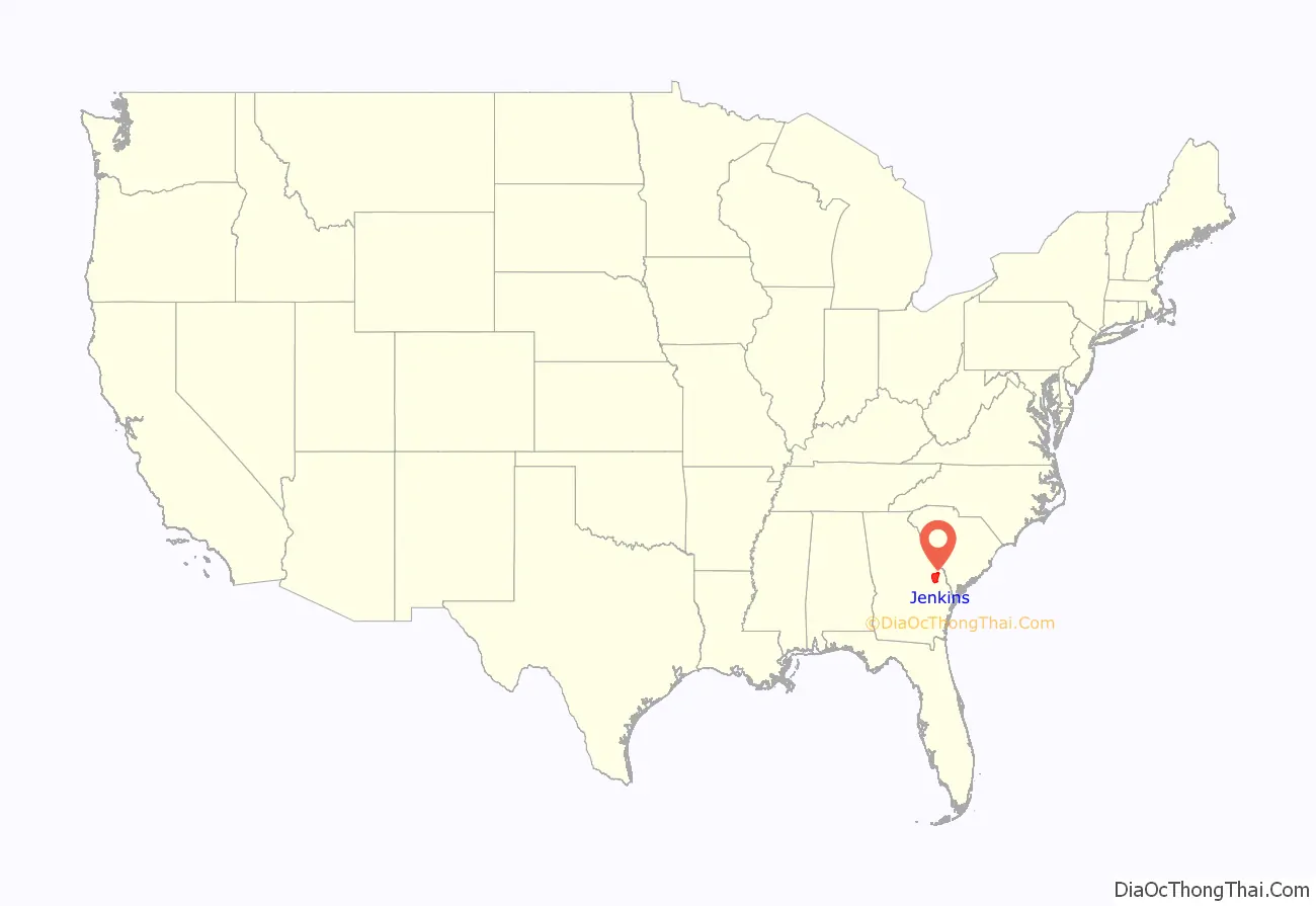
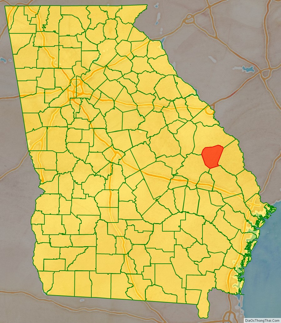
Jenkins County location map. Where is Jenkins County?
History
During the Red Summer of 1919, there was a race riot on April 13, 1919 in Jenkins County, in which white mobs attacked the black community.
Jenkins County Road Map
Geography
According to the U.S. Census Bureau, the county has a total area of 352 square miles (910 km), of which 347 square miles (900 km) is land and 5.2 square miles (13 km) (1.5%) is water.
Most of the southern portion of Jenkins County, from southwest of Millen to west of Hiltonia, is located in the Lower Ogeechee River sub-basin of the Ogeechee River basin, with the exception of very small parts of the southwestern corner of the county, north and east of Garfield, which are located in the Canoochee River sub-basin of the same Ogeechee River basin. The northwestern portion of Jenkins County is located in the Upper Ogeechee River sub-basin of the Ogeechee River basin, with just the northeastern corner of the county located in the Brier Creek sub-basin of the Savannah River basin.
Major highways
- U.S. Route 25
- State Route 17
- State Route 17 Bypass
- State Route 21
- State Route 23
- State Route 67
- State Route 121
- State Route 555 (Savannah River Parkway)
- State Route 565 (Savannah River Parkway)
Adjacent counties
- Burke County (north)
- Screven County (east)
- Bulloch County (south)
- Emanuel County (west)
Jenkins County Topographic Map
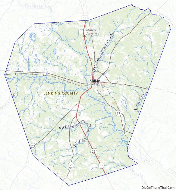
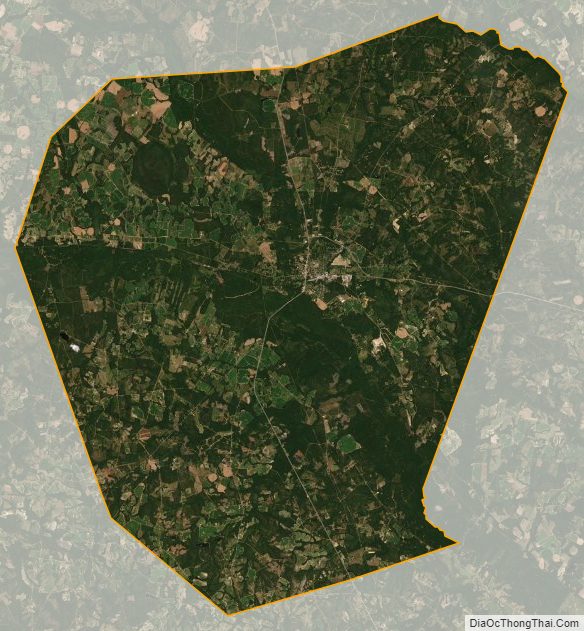
Jenkins County Satellite Map
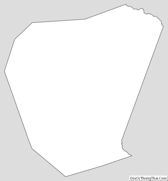
Jenkins County Outline Map