Lafayette County is a county located in the north central portion of the state of Florida. As of the 2020 census, the population was 8,226, making it the second-least populous county in Florida. The county seat is Mayo. Lafayette County is a prohibition or partially dry county, allowing retail sales of beer.
| Name: | Lafayette County |
|---|---|
| FIPS code: | 12-067 |
| State: | Florida |
| Founded: | December 23, 1853 |
| Named for: | Marquis de Lafayette |
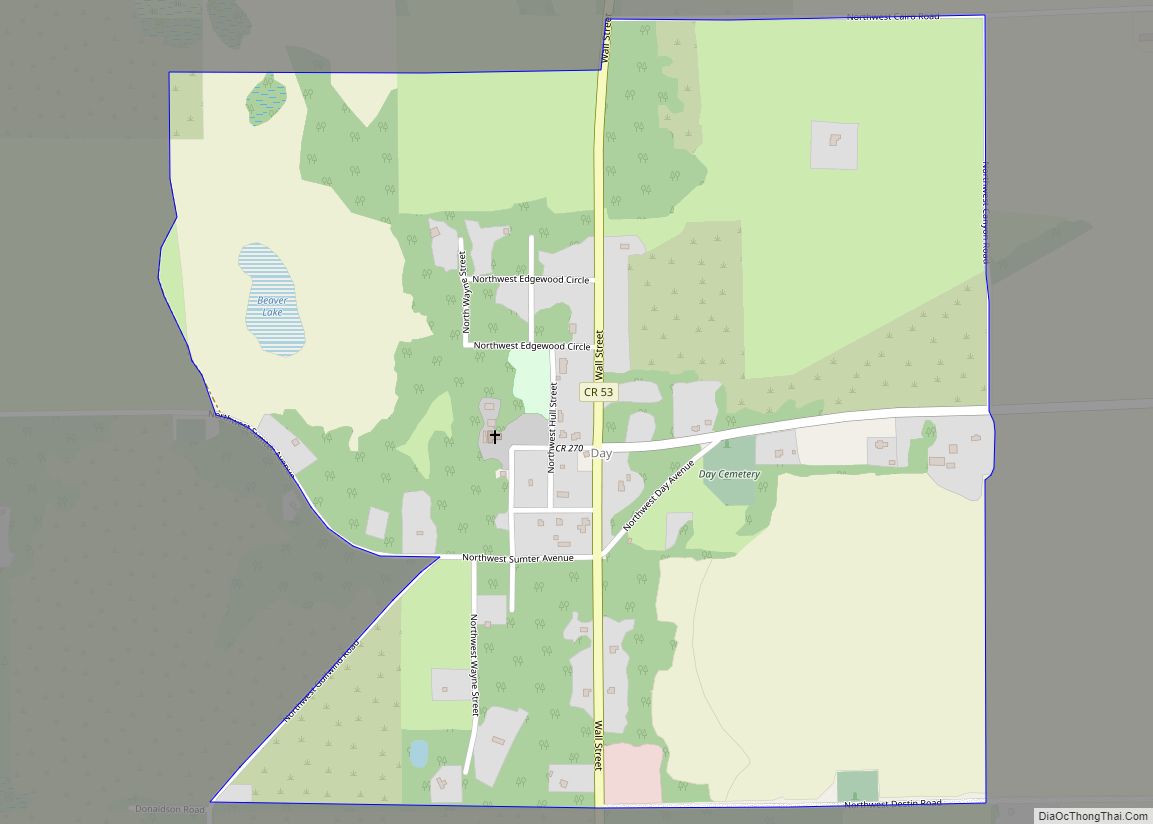
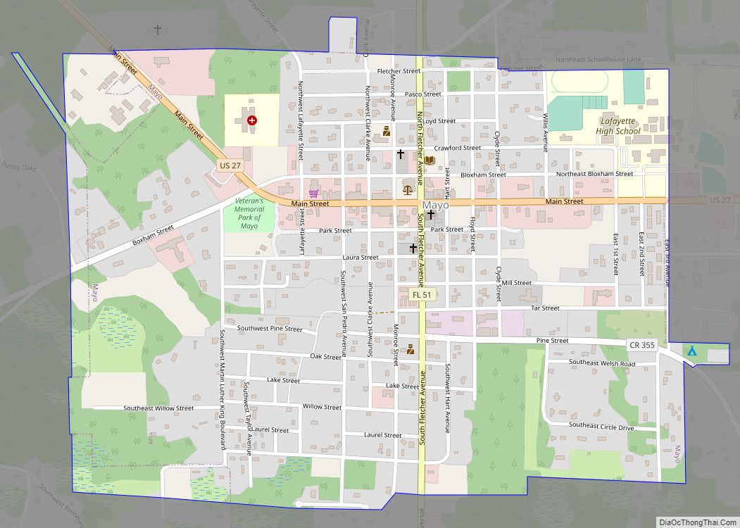
| Seat: | Mayo |
| Largest town: | Mayo |
| Total Area: | 548 sq mi (1,420 km²) |
| Land Area: | 543 sq mi (1,410 km²) |
| Total Population: | 8,226 |
| Population Density: | 16/sq mi (6/km²) |
| Time zone: | UTC−5 (Eastern) |
| Summer Time Zone (DST): | UTC−4 (EDT) |
| Website: | www.lafayettecountyfl.net |
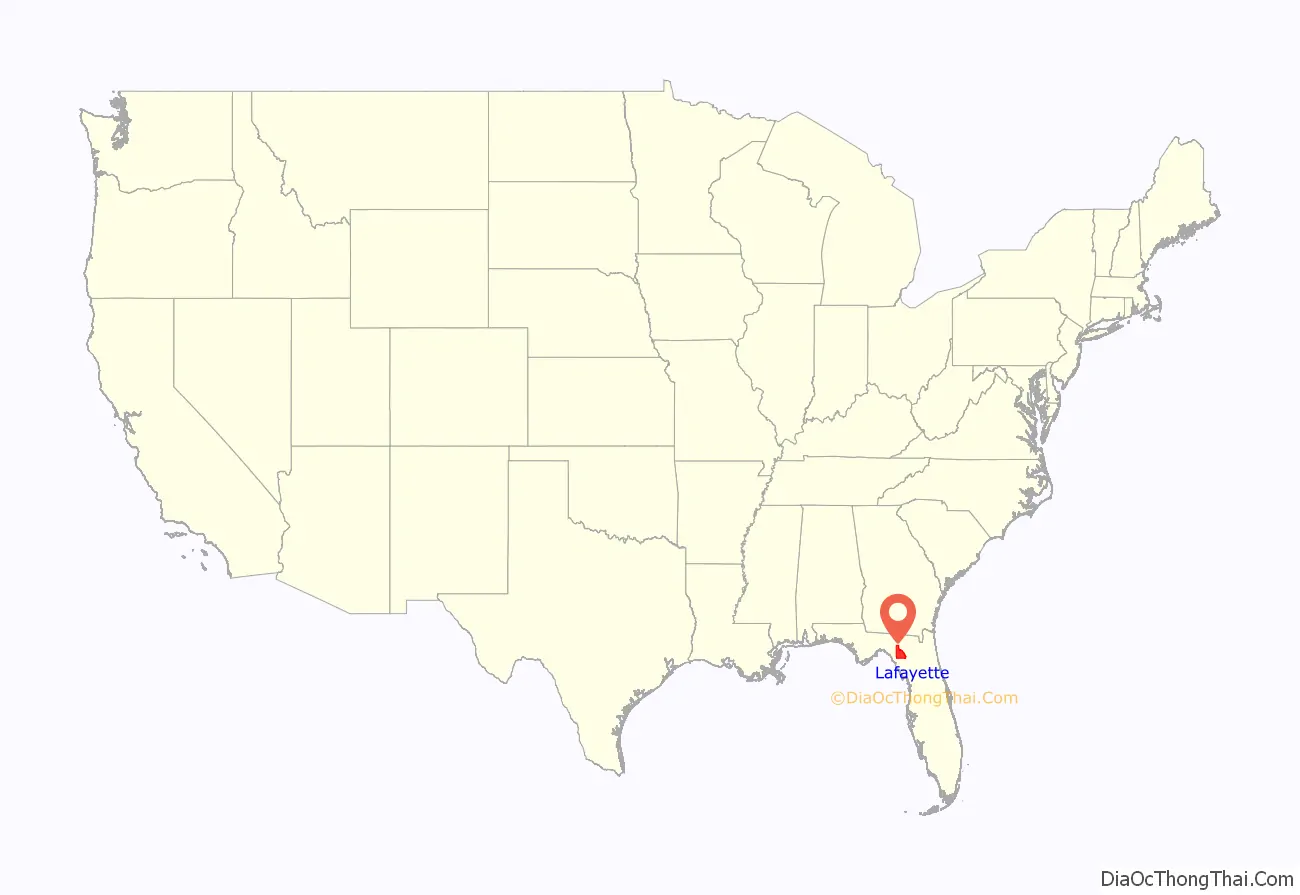
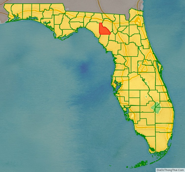
Lafayette County location map. Where is Lafayette County?
History
Lafayette County was created on December 23, 1856, from part of Madison County. At the time it comprised all the area of present-day Lafayette and Dixie counties. The county was named in honor of the Marquis de Lafayette, the French general who rendered assistance to the Continental Army in the American Revolutionary War. The famed Suwannee River forms the entire eastern boundary. The county courts first met at the home of Ariel Jones near Fayetteville. The county seat was New Troy until the court house burned down on New Year’s Eve, 1892. It was moved to Mayo in 1893, and Mayo is currently Lafayette’s only incorporated town. The moving of the courthouse was the end for New Troy. The Gainesville Sun states that houses were dismantled for their timber and bricks, hardwoods replaced the fields, steamboat traffic ended in 1899, and the ferry closed in 1917. In 1921 the lower part of the county was removed to create Dixie County.
Historic sites
Historic sites in Lafayette County include:
- The Hal W. Adams Bridge built in 1947 across the Suwannee River 3 mi (5 km) north of Mayo. It was Florida’s first suspension bridge.
- The (second) Old Lafayette County Courthouse, built in 1893–1894, now an inn.
- The current Lafayette County Courthouse built in 1908.
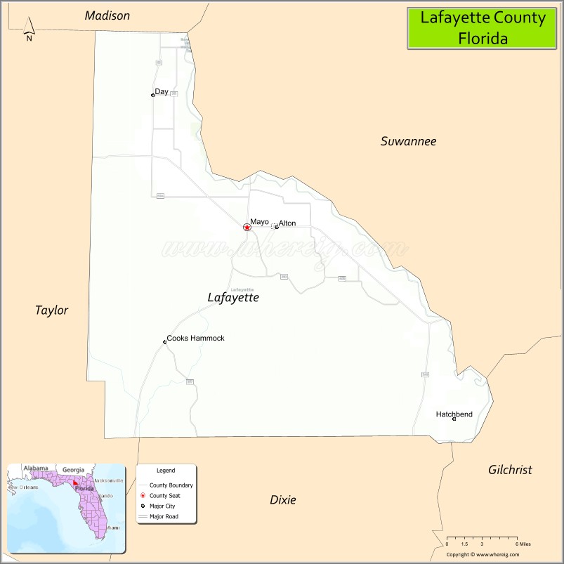
Lafayette County Road Map
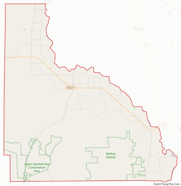
Geography
According to the U.S. Census Bureau, the county has a total area of 548 square miles (1,420 km), of which 543 square miles (1,410 km) is land and 4.5 square miles (12 km) (0.8%) is water.
Adjacent counties
- Suwannee County – east
- Gilchrist County – southeast
- Dixie County – south
- Taylor County – west
- Madison County – northwest
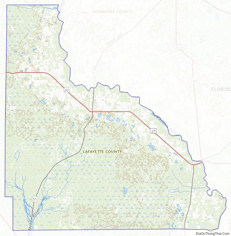
Lafayette County Topographic Map
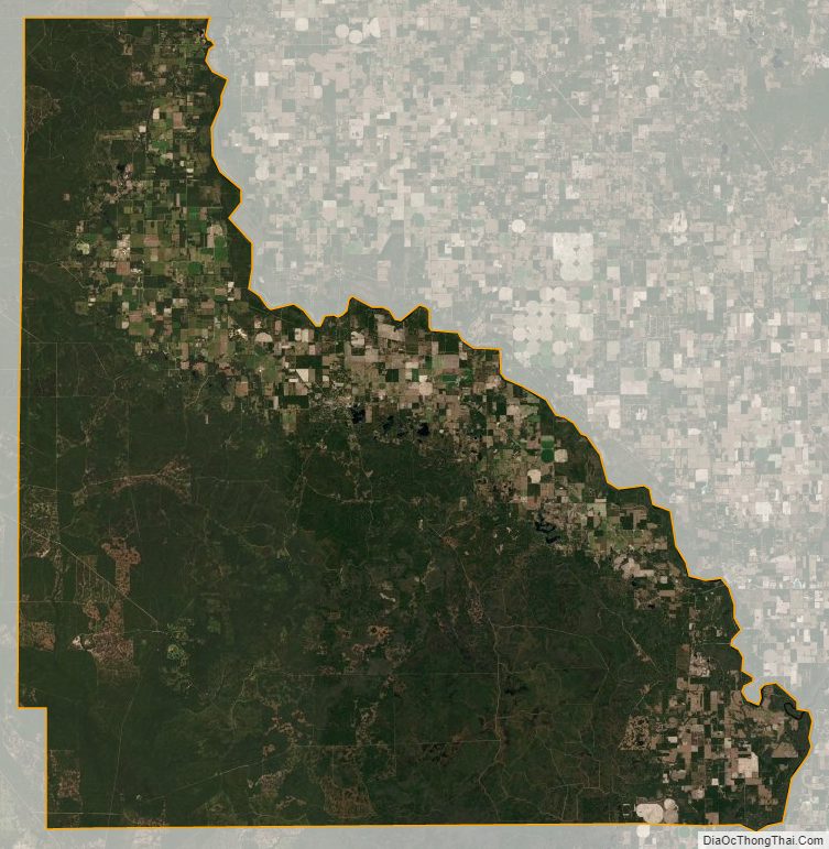
Lafayette County Satellite Map
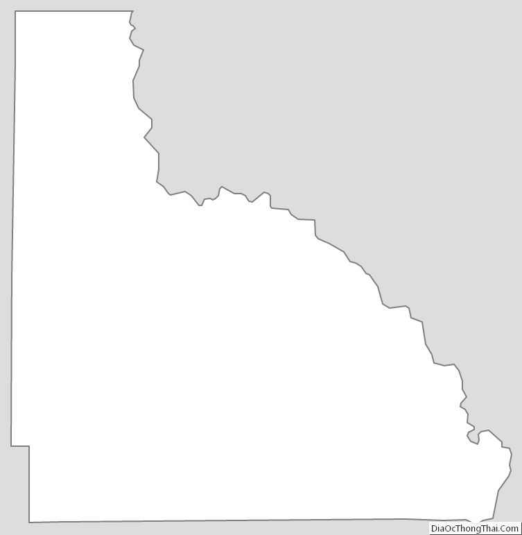
Lafayette County Outline Map