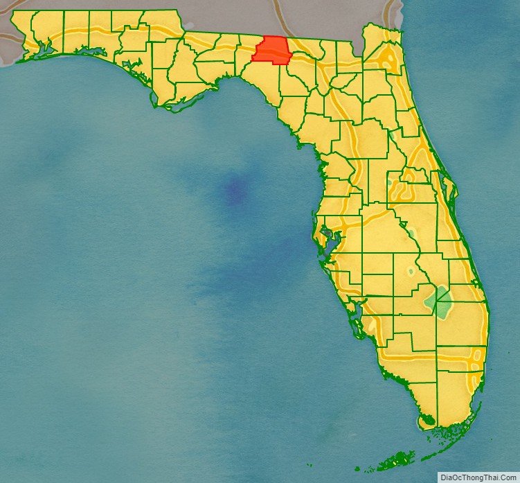
Madison County is a county located in the north central portion of the state of Florida, and borders the state of Georgia to the north. As of the 2020 census, the population was 17,968. Its county seat is also called Madison.
| Name: | Madison County |
|---|---|
| FIPS code: | 12-079 |
| State: | Florida |
| Founded: | December 26, 1827 |
| Named for: | James Madison |
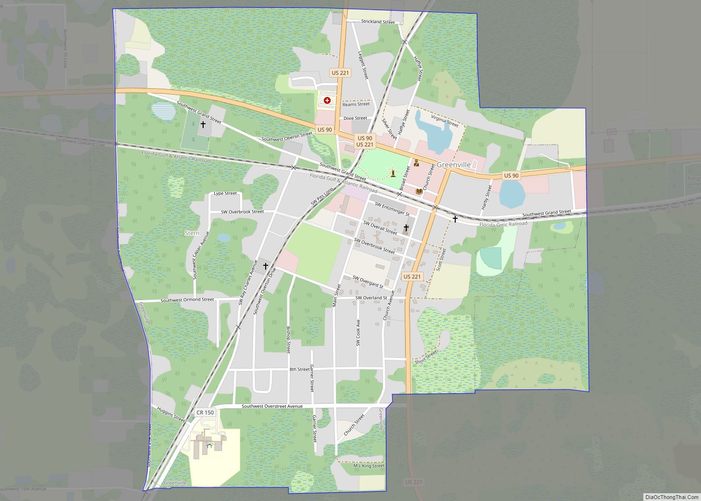
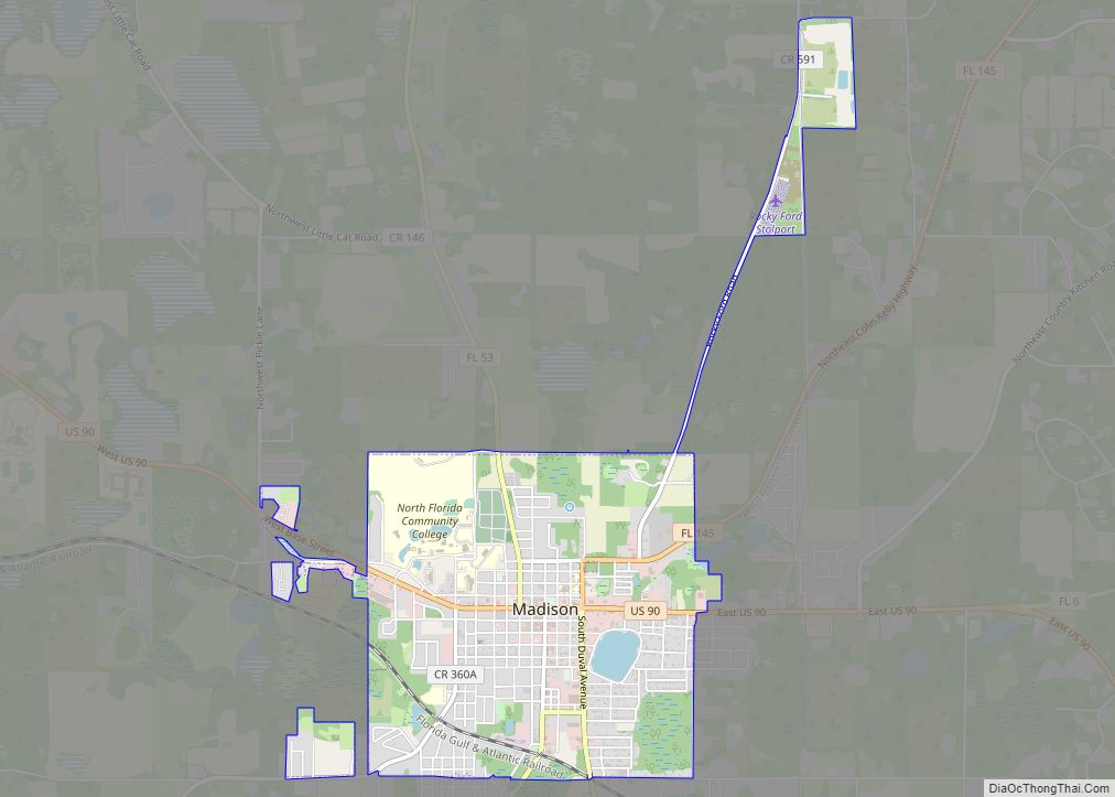
| Seat: | Madison |
| Largest city: | Madison |
| Total Area: | 716 sq mi (1,850 km²) |
| Land Area: | 696 sq mi (1,800 km²) |
| Total Population: | 17,968 |
| Population Density: | 26.5/sq mi (10.2/km²) |
| Time zone: | UTC−5 (Eastern) |
| Summer Time Zone (DST): | UTC−4 (EDT) |
| Website: | www.madisoncountyfl.com |
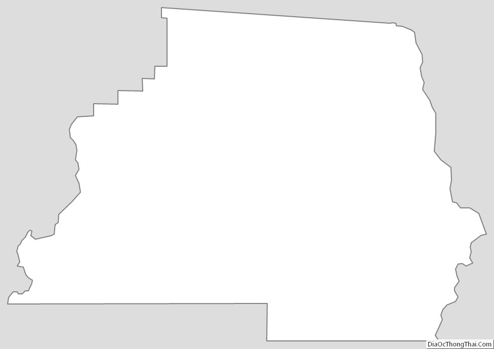
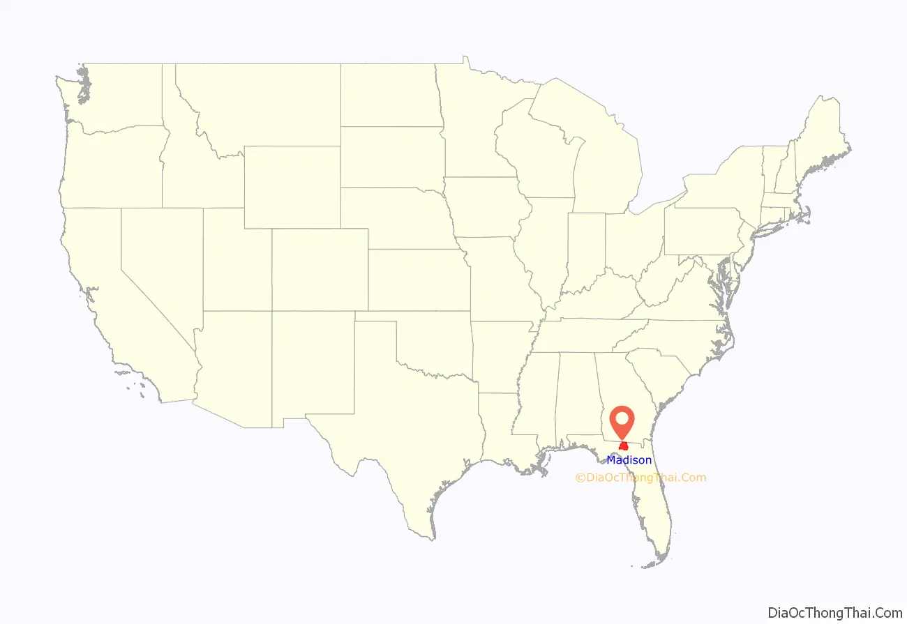
Madison County location map. Where is Madison County?
History
Located in what is known as the Florida Panhandle, Madison County was created in 1827. It was named for James Madison, fourth President of the United States of America, who served from 1809 to 1817. It was developed as part of the plantation belt, with cotton cultivated and processed by enslaved African Americans.
In the period after Reconstruction, racial violence rose in the state, reaching a peak at the end of the 19th century and extending into the difficult economic years of the 1920s and 1930s. According to the Equal Justice Institute’s 2015 report, Lynching in America: Confronting Racial Terror, from 1877 to 1950, Madison County had 16 lynchings in this period, the 6th highest of any county in the state. The county’s economic and population growth was stagnant from the 1880s and for several decades into the early 20th century.
In 1945, the county’s population of 15,537 was divided evenly between black and white. The last known lynching in the county was that in October 1945 of Jesse James Payne, a young married sharecropper with a child. After an economic dispute with the white landowner where he was sharecropping, where Payne escaped murder following “a demand for an unjust debt repayment”, he was charged with sexually assaulting the landowner’s daughter, but was innocent. The sheriff and other law enforcement officials appeared implicated in Payne’s murder, as he was left in the county jail unguarded after mob action had been threatened. Payne’s was the only recorded lynching nationwide that year, when World War II ended. The case received national attention and the governor was strongly criticized for failure to mount a true investigation or to take action against the sheriff. As of August, 2012, Madison became a wet county, meaning that voters had approved the legal sale, possession, or distribution of alcoholic beverages.
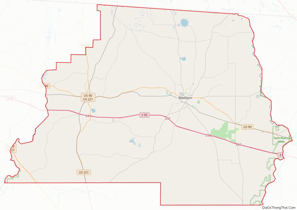
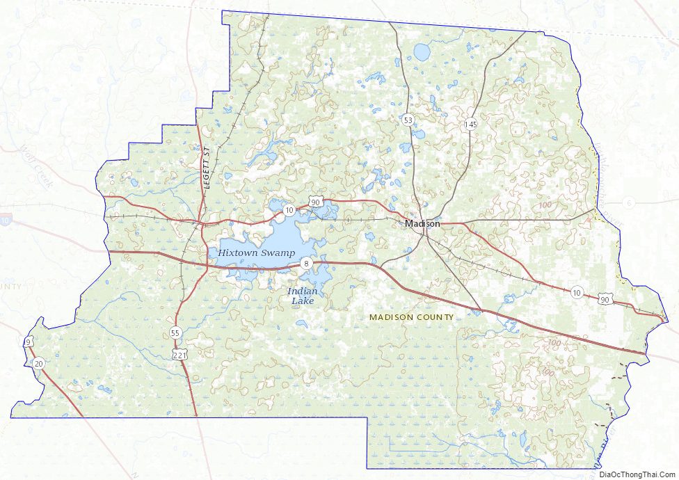
Madison County Road Map
Geography
According to the U.S. Census Bureau, the county has a total area of 716 square miles (1,850 km), of which 696 square miles (1,800 km) is land and 20 square miles (52 km) (2.8%) is water.
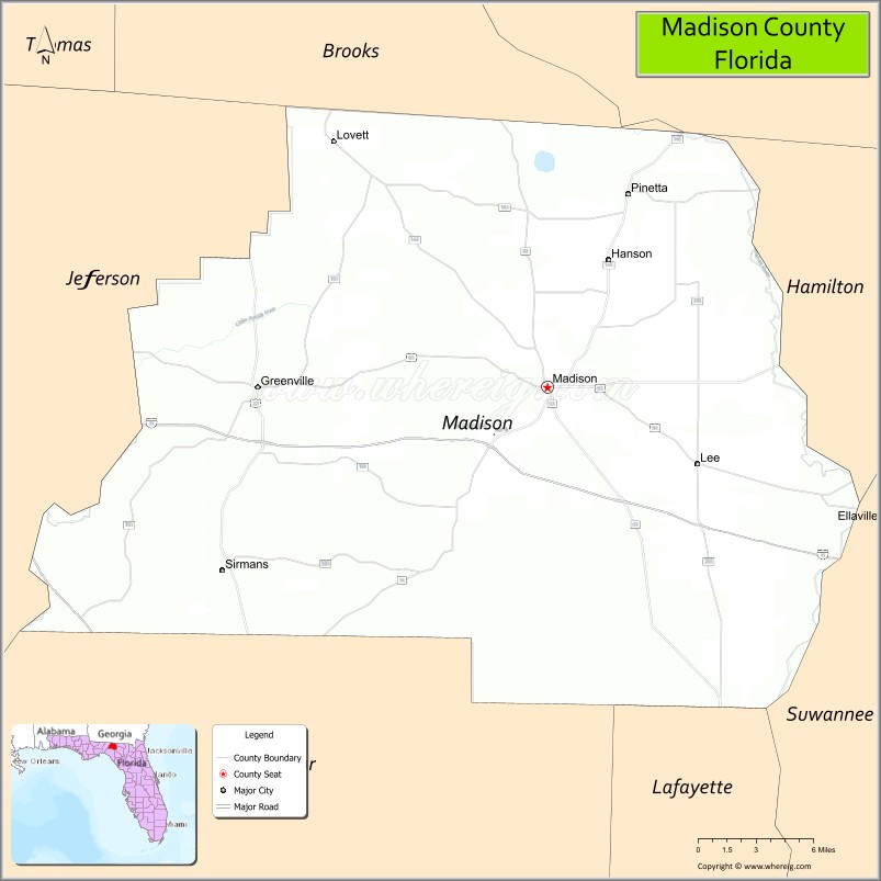
Adjacent counties
- Brooks County, Georgia – north
- Lowndes County, Georgia – northeast
- Hamilton County – east
- Suwannee County – southeast
- Lafayette County – southeast
- Taylor County – southwest
- Jefferson County – west
Madison County Topographic Map
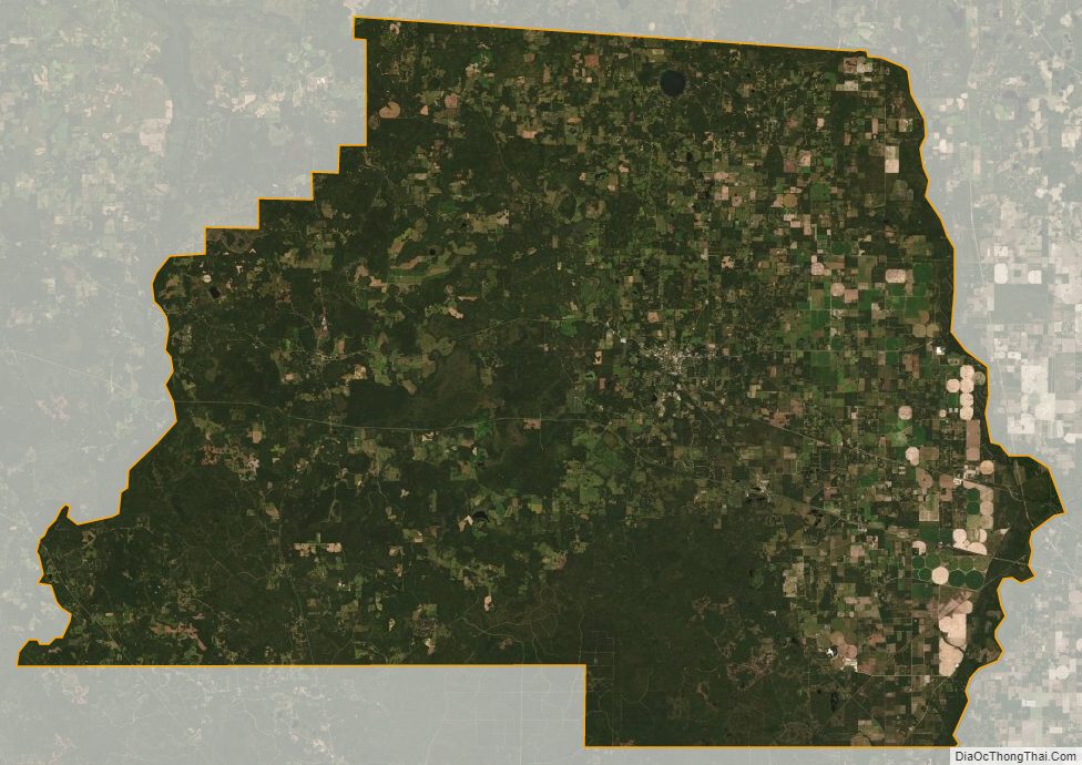
Madison County Satellite Map
Madison County Outline Map