| Name: | McIntosh County |
|---|---|
| FIPS code: | 13-191 |
| State: | Georgia |
| Founded: | 1793 |
| Named for: | Lachlan McIntosh |
| Seat: | Darien |
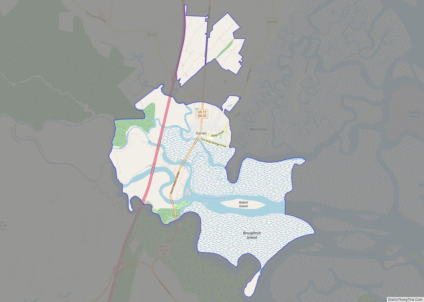
| Largest city: | Darien |
| Total Area: | 574 sq mi (1,490 km²) |
| Land Area: | 424 sq mi (1,100 km²) |
| Total Population: | 10,975 |
| Population Density: | 26/sq mi (10/km²) |
| Time zone: | UTC−5 (Eastern) |
| Summer Time Zone (DST): | UTC−4 (EDT) |
| Website: | www.mcintoshcountyga.com |
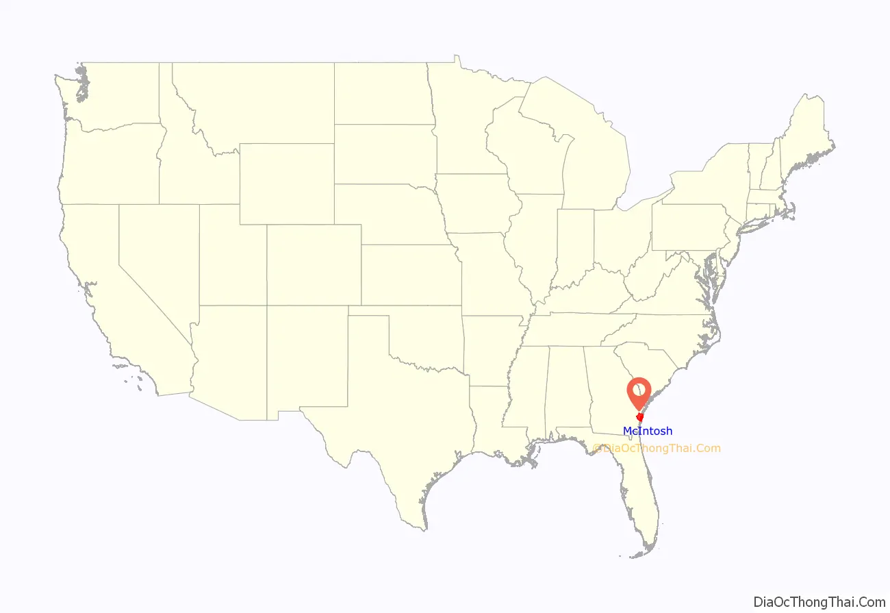
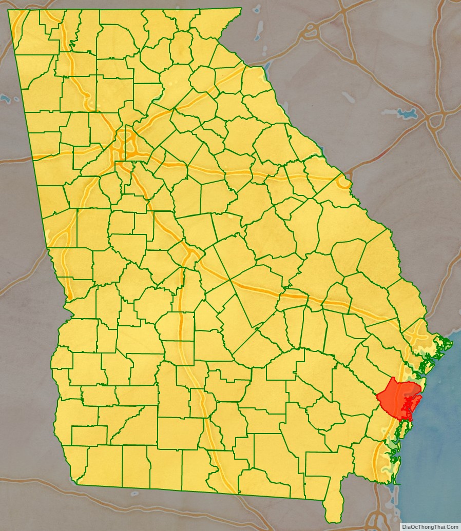
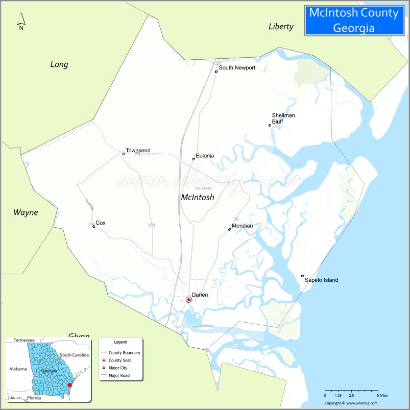
McIntosh County location map. Where is McIntosh County?
History
Colonial and Revolutionary period
The area which was formally named McIntosh County was originally settled by the British in 1721 with the construction of Fort King George, which was part of a set of forts built as a buffer between the British colonies to the north and Spanish Florida to the south, under the direction of General James Oglethorpe. New Inverness (later named Darien) was founded in 1736 by Scottish Highlanders who were enticed to move to Georgia by General Oglethorpe. In 1760, the British built Fort Barrington on the north side of the Altamaha River about 12 miles (19 km) northwest of present-day Darien. It was used for decades as a transportation and communication center up and down coastal Georgia. The County split off from Liberty County in 1793.
The new county was named McIntosh for its most famous family, which included Lachlan McIntosh, who was a general in the Continental Army. The McIntosh clan in Darien dates back to 1736.
Civil War period
Few Georgia counties suffered during the Civil War as much as McIntosh County. The agricultural loss of the plantations was devastating. Even the lumber industry was destroyed, along with the once-thriving seaport town of Darien, Georgia which was the result of the burning of Darien in the “total war” tactics of James Montgomery in June 1863.
After the burning of Darien in 1863 under the command of U.S. Army Col. James Montgomery, the area was left mostly defenseless. A group of civilians, generally too old for military service, were the only defense against looting by the U.S. military from the naval blockade boats. The men were meeting at Ebenezer Church on the night of August 3, 1864. A spy told the U.S. military about the meeting. U.S. troops surrounded the church and opened fire. The 26 men were captured, marched to near Darien (about 10 miles away), put on ships and sent to prisons in the north.
Reconstruction
From the end of the Civil war to Georgia’s 1907 disenfranchisement laws, McIntosh County was a base of black political power in the state. “Tunis Campbell was the highest-ranking and most influential African American politician in nineteenth-century Georgia”, according to the New Georgia Encyclopedia. In March 1865, Tunis G. Campbell Sr. was put in supervision of land claims at the Freedmen’s Bureau for a group of Georgia barrier islands, including Sapelo in McIntosh County. After the land in question was returned to plantation owners by President Andrew Johnson, “Campbell quickly purchased 1,250 acres at Belle Ville in McIntosh County and there established an association of black landowners to divide parcels and profit from the land.”
After the military registration carried out in early 1867, 600 black people and 307 white people were on the voter rolls in McIntosh.
In late 1867, Campbell was elected as one of two delegates from the second senatorial district – Liberty, McIntosh, and Tattnall counties – to Georgia’s constitutional convention.
In April 1868, Campbell was elected as the state senator for the second district, and his son Tunis G. Campbell Jr. was elected as state representative for McIntosh County. While both Campbells were among the black legislators expelled later in 1868, they were able to return to office in 1871; Campbell Sr. left office in 1872, while Campbell Jr. served until 1874.
Campbell Sr. also served as the Vice President of the Georgia Republican Party. As an elected official, “Campbell [Sr.] organized a black power structure in McIntosh County that protected freed people from white abuses, whether against their bodies or in labor negotiations,” and he was rumored to be protected by a 300-person militia. In fact, that power structure lasted for decades, as evidenced by the fact that the county had three black representatives from 1875 to 1907: Amos R. Rodgers (1878-9), Lectured Crawford (1886-7, 1890-1, 1900-1), and William H. Rogers (1902-7).
Civil rights period
Despite its large number of black residents, McIntosh County politics continued to be dominated by whites well into the 1970s, even following the federal civil rights legislation of the previous decade. In September 1975, the Georgia Legal Services Program, on behalf of the local NAACP, filed suit in United States District Court, alleging that women and blacks were systematically excluded from grand juries responsible for appointing members to the McIntosh County Board of Education. The following May, plaintiffs and county officials reached an agreement providing for random jury selection.
In 1977, the NAACP filed separate suits against McIntosh County and the City of Darien, alleging improper districting for county and city commission seats. The county settled out of court, agreeing to redraw its commission boundaries to include a black-majority district. The NAACP lost its suit against the city, but this decision was remanded and reversed in 1979 by the United States Court of Appeals for the Fifth Circuit.
Praying for Sheetrock: A Work of Nonfiction (ISBN 0-201-55048-2) by Melissa Fay Greene narrates the events surrounding the civil rights movement in McIntosh County, particularly the death of Sheriff Thomas H. Poppell and the 1978 election of black rights activist Thurnell Alston as county commissioner.
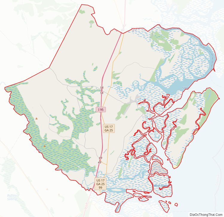
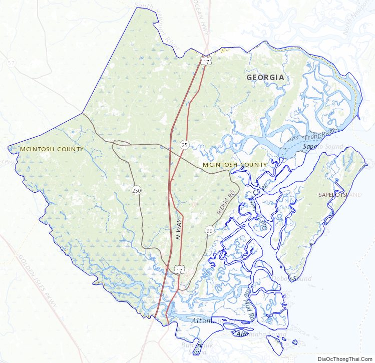
McIntosh County Road Map
Geography
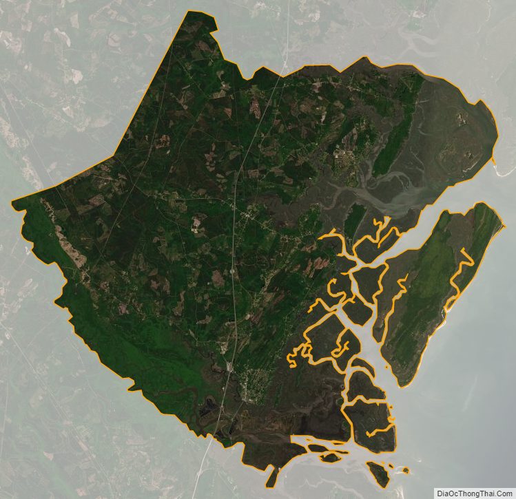
According to the U.S. Census Bureau, the county has a total area of 574 square miles (1,490 km), of which 424 square miles (1,100 km) is land and 150 square miles (390 km) (26.1%) is water.
The vast majority of McIntosh County is located in the Ogeechee Coastal sub-basin of the larger Ogeechee basin. The entire southwestern border of the county is located in the Altamaha River sub-basin of the basin by the same name.
Adjacent counties
- Liberty County (north)
- Glynn County (south)
- Wayne County (west)
- Long County (northwest)
National protected areas
- Blackbeard Island National Wildlife Refuge
- Harris Neck National Wildlife Refuge
- Wolf Island National Wildlife Refuge
Islands
- Sapelo Island
- Blackbeard Island
- Four Mile Island
- Creighton Island
- Wolf Island
- Black Island
- Hird Island
- Little Sapelo Island
- Wahoo Island
McIntosh County Topographic Map
McIntosh County Satellite Map
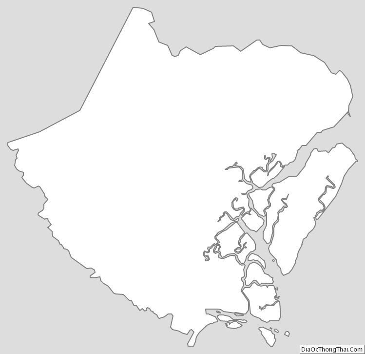
McIntosh County Outline Map