| Name: | Long County |
|---|---|
| FIPS code: | 13-183 |
| State: | Georgia |
| Founded: | 1920 |
| Seat: | Ludowici |
| Largest city: | Ludowici |
| Total Area: | 404 sq mi (1,050 km²) |
| Land Area: | 400 sq mi (1,000 km²) |
| Total Population: | 16,168 |
| Population Density: | 40/sq mi (20/km²) |
| Time zone: | UTC−5 (Eastern) |
| Summer Time Zone (DST): | UTC−4 (EDT) |
| Website: | www.longcountyboc.com |
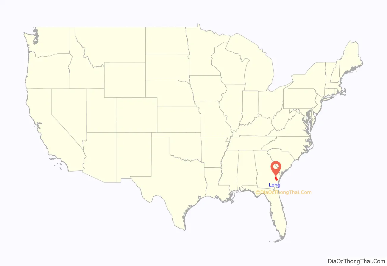
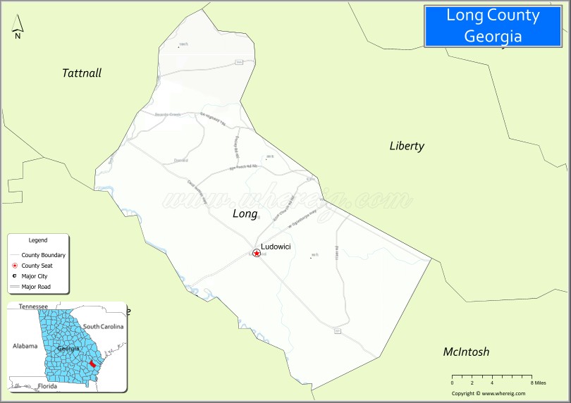
Long County location map. Where is Long County?
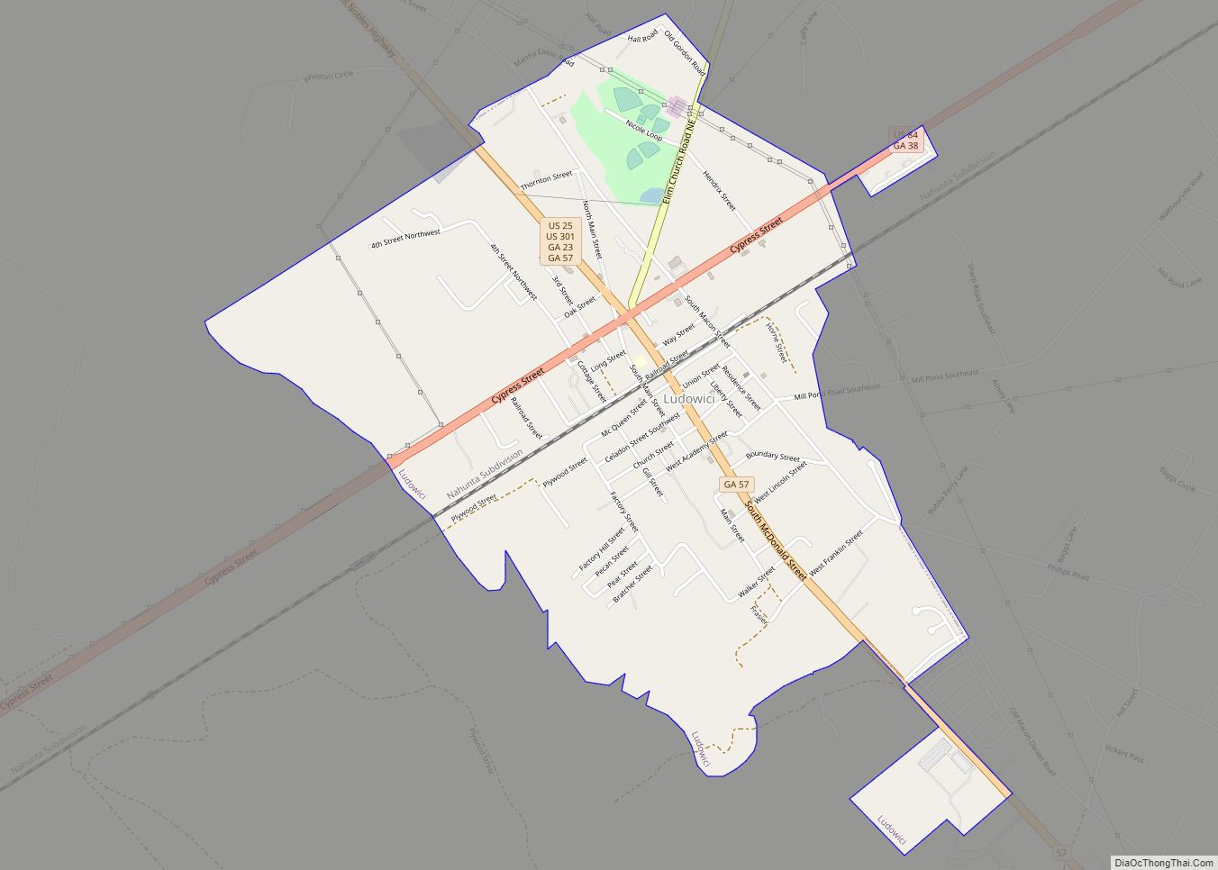
Long County Road Map
Geography
According to the U.S. Census Bureau, the county has a total area of 404 square miles (1,050 km), of which 400 square miles (1,000 km) is land and 3.5 square miles (9.1 km) (0.9%) is water.
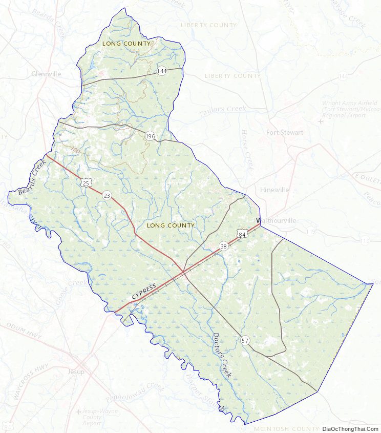
The majority of Long County, roughly centered on Ludowici, is located in the Altamaha River sub-basin of the basin by the same name. The county’s northeastern portion, east of Glennville and northwest of Walthourville, is located in the Canoochee River sub-basin of the Ogeechee River basin. Long County’s southeastern portion is located in the Ogeechee Coastal sub-basin of the larger Ogeechee basin.
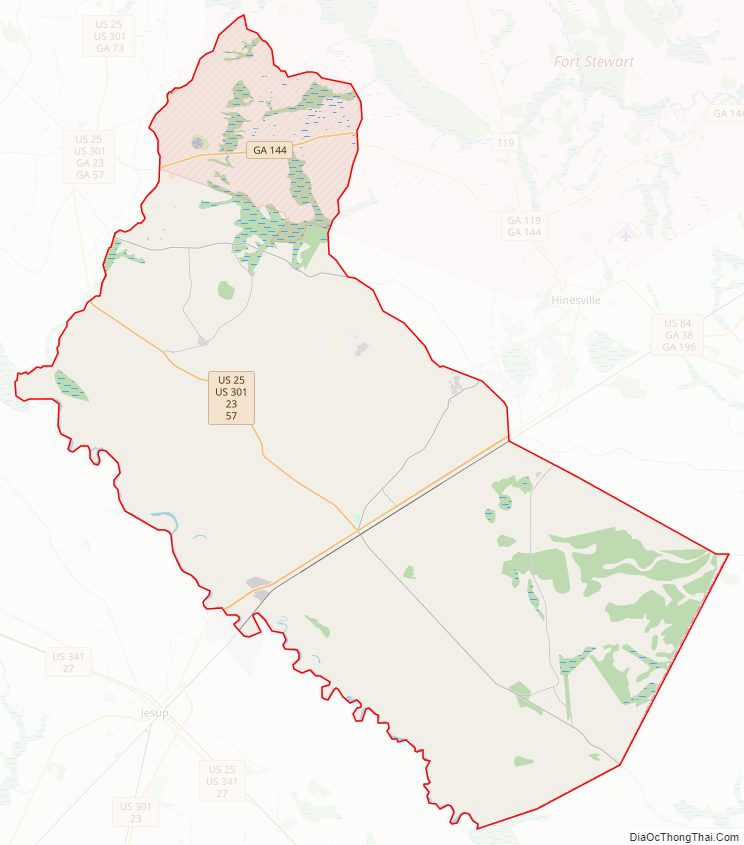
Major highways
- U.S. Route 25
- U.S. Route 84
- U.S. Route 301
- State Route 23
- State Route 38
- State Route 57
- State Route 144
- State Route 196
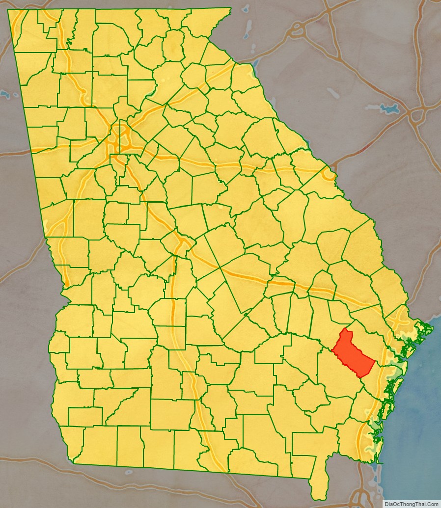
Adjacent counties
- Liberty County (northeast)
- McIntosh County (southeast)
- Wayne County (southwest)
- Tattnall County (northwest)
Long County Topographic Map
Long County Satellite Map
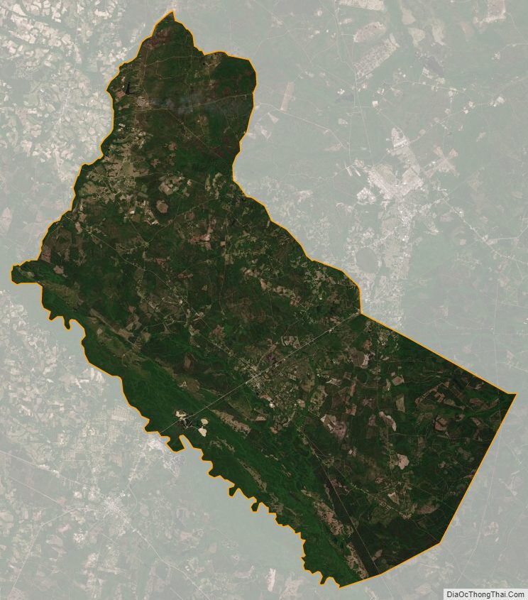
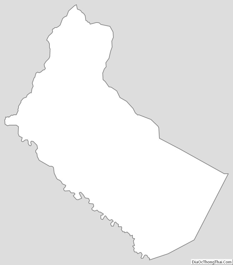
Long County Outline Map