Nicholas County is a county located in the U.S. state of Kentucky. As of the 2020 census, the population was 7,537. Its county seat is Carlisle, which is also the only incorporated community in the county. Founded in 1799, the county is named for Col. George Nicholas, the “Father of the Kentucky Constitution.”
| Name: | Nicholas County |
|---|---|
| FIPS code: | 21-181 |
| State: | Kentucky |
| Founded: | 1799 |
| Seat: | Carlisle |
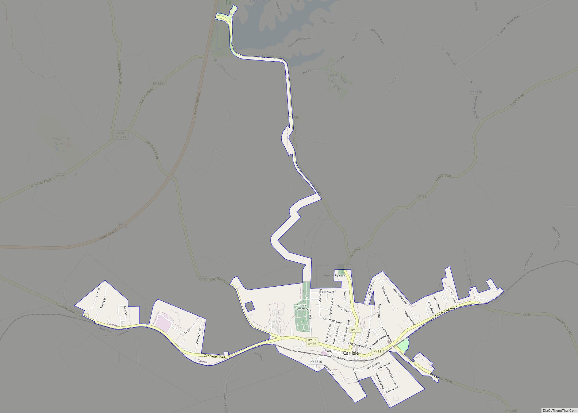
| Largest city: | Carlisle |
| Total Area: | 197 sq mi (510 km²) |
| Land Area: | 195 sq mi (510 km²) |
| Total Population: | 7,537 |
| Population Density: | 38/sq mi (15/km²) |
| Time zone: | UTC−5 (Eastern) |
| Summer Time Zone (DST): | UTC−4 (EDT) |
| Website: | nicholascounty.ky.gov |
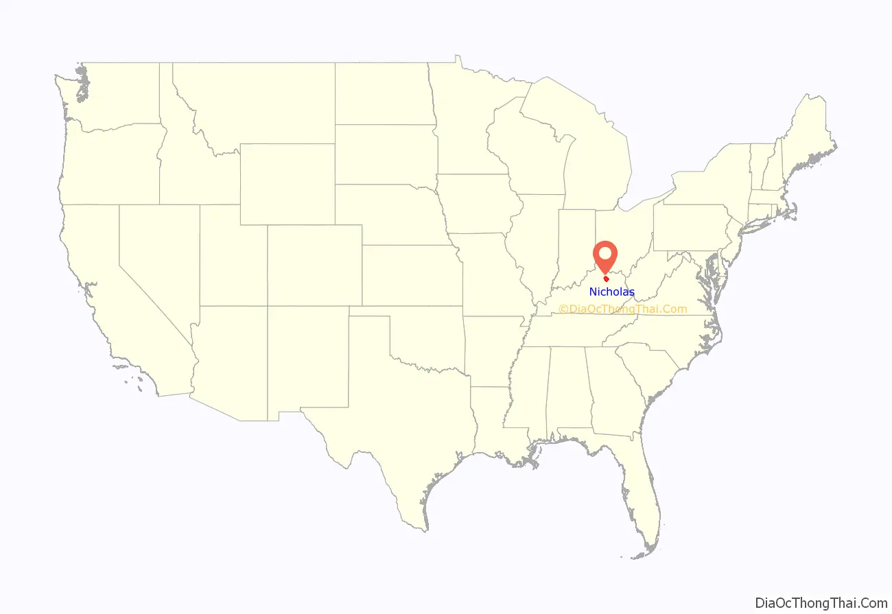
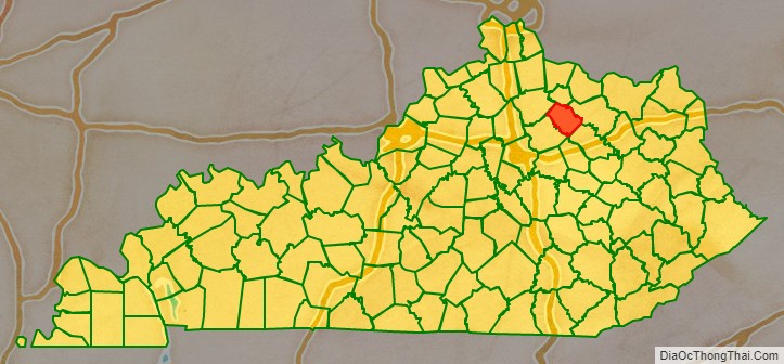
Nicholas County location map. Where is Nicholas County?
History
Nicholas County was established in 1799 from land given by Bourbon and Mason counties. Nicholas was the 42nd Kentucky county in order of formation. The general region is noted for its scenic beauty, history, horse farms, and hospitality. Nicholas County has a picturesque, rural character. Its rolling countryside is typical of the Bluegrass belt where winding roads lead past manicured farms, through wooded glades and small villages. Nicholas County is home to Forest Retreat, listed on the National Historic register as a historic district, built in 1814 by Thomas Metcalf the 10th Governor of Kentucky. The 1954 Kentucky Derby Winner “Determine” was bred and born in Nicholas County on the Forest Retreat Farm. Daniel Boone’s last Kentucky home place is also located in Nicholas County, the Historic marker is located on US HWY 68 just past the traffic islands heading north. Built by Boone in 1795, Boone and his family resided in the one room cabin until 1799. Blue Licks Battlefield State Resort Park is a park located near Mount Olivet, Kentucky in Robertson and Nicholas counties. The park encompasses 148 acres (60 ha) and features a monument commemorating the August 19, 1782 Battle of Blue Licks. The battle was regarded as the final battle of the American Revolutionary War.
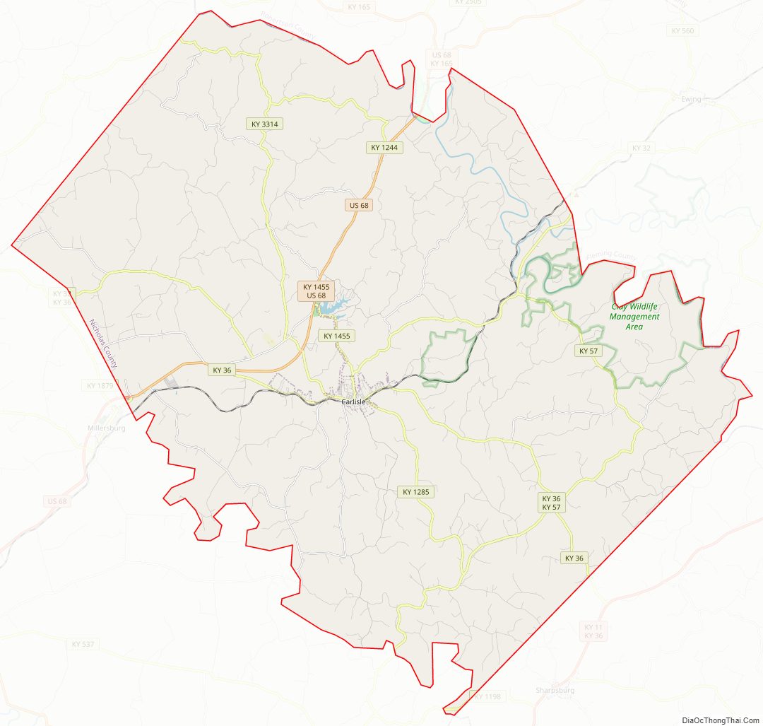
Nicholas County Road Map
Geography
According to the U.S. Census Bureau, the county has a total area of 197 square miles (510 km), of which 195 square miles (510 km) is land and 1.7 square miles (4.4 km) (0.8%) is water.
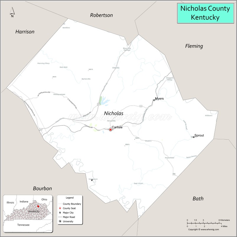
Adjacent counties
- Robertson County (north)
- Fleming County (northeast)
- Bath County (southeast)
- Bourbon County (southwest)
- Harrison County (northwest)
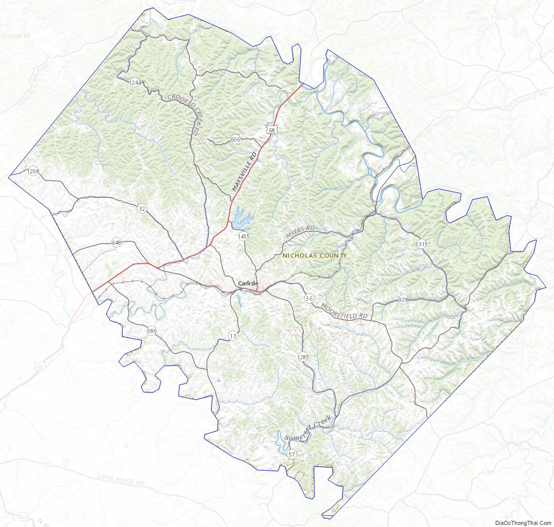
Nicholas County Topographic Map
Nicholas County Satellite Map
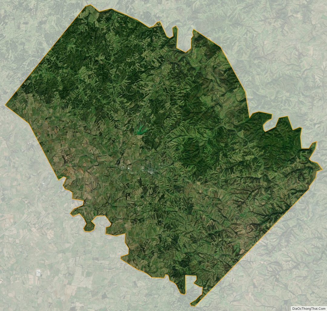
Nicholas County Outline Map