Mount Olivet is a home rule-class city in and the county seat of Robertson County, Kentucky, United States, located at the junction of U.S. Route 62 and Kentucky Route 165. The population was 299 at the 2010 United States census.
| Name: | Mount Olivet city |
|---|---|
| LSAD Code: | 25 |
| LSAD Description: | city (suffix) |
| State: | Kentucky |
| County: | Robertson County |
| Incorporated: | December 27, 1851 |
| Elevation: | 935 ft (285 m) |
| Total Area: | 0.83 sq mi (2.14 km²) |
| Land Area: | 0.83 sq mi (2.14 km²) |
| Water Area: | 0.00 sq mi (0.00 km²) |
| Total Population: | 347 |
| Population Density: | 419.59/sq mi (162.08/km²) |
| ZIP code: | 41064 |
| Area code: | 606 |
| FIPS code: | 2153976 |
| GNISfeature ID: | 0498801 |
Online Interactive Map
Click on ![]() to view map in "full screen" mode.
to view map in "full screen" mode.
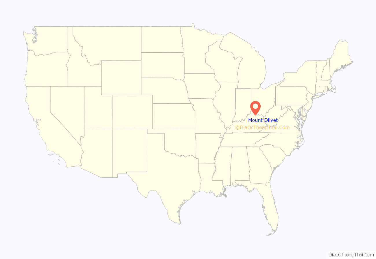
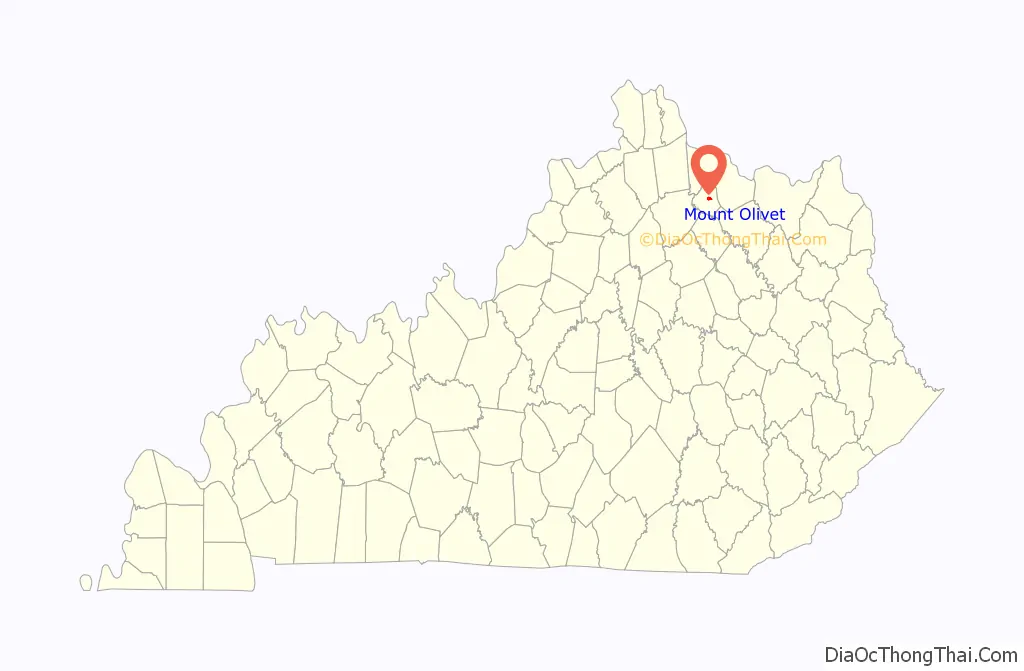
Mount Olivet location map. Where is Mount Olivet city?
History
Long before the town of Mount Olivet was created, the Battle of Blue Licks was fought in 1783 between Patriot American frontiersmen and pro-British Loyalist-Indian allies. The decisive result of the battle was a major American defeat at the end of the American Revolutionary War.
Mount Olivet was founded in 1820 and incorporated on December 27, 1851. It became the county seat of Robertson County when the county was formed in 1867. The town was subsequently dissolved, then reincorporated on March 18, 1871, by an act of the Kentucky General Assembly. Mount Olivet was classified as a fifth-class city until 2015, when it was reclassified as a home rule–class city.
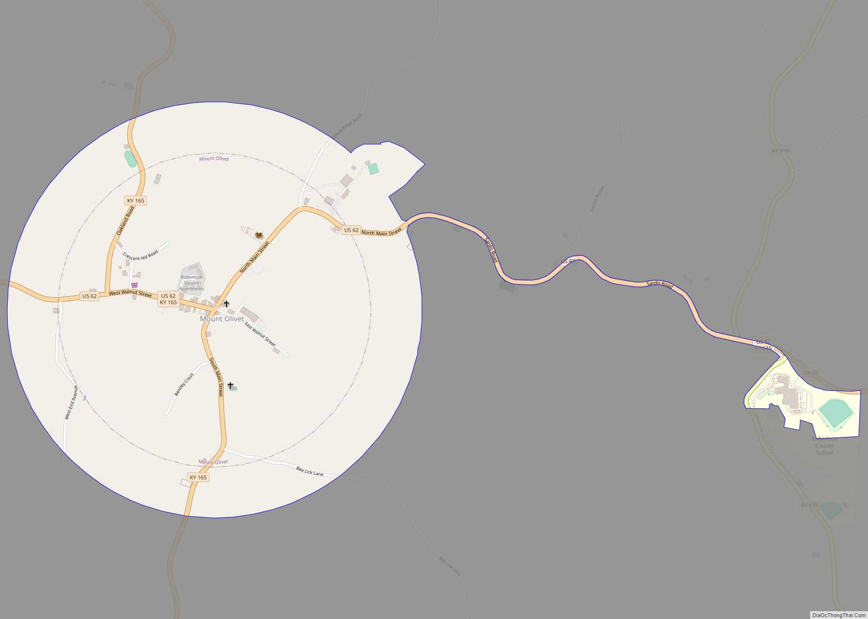
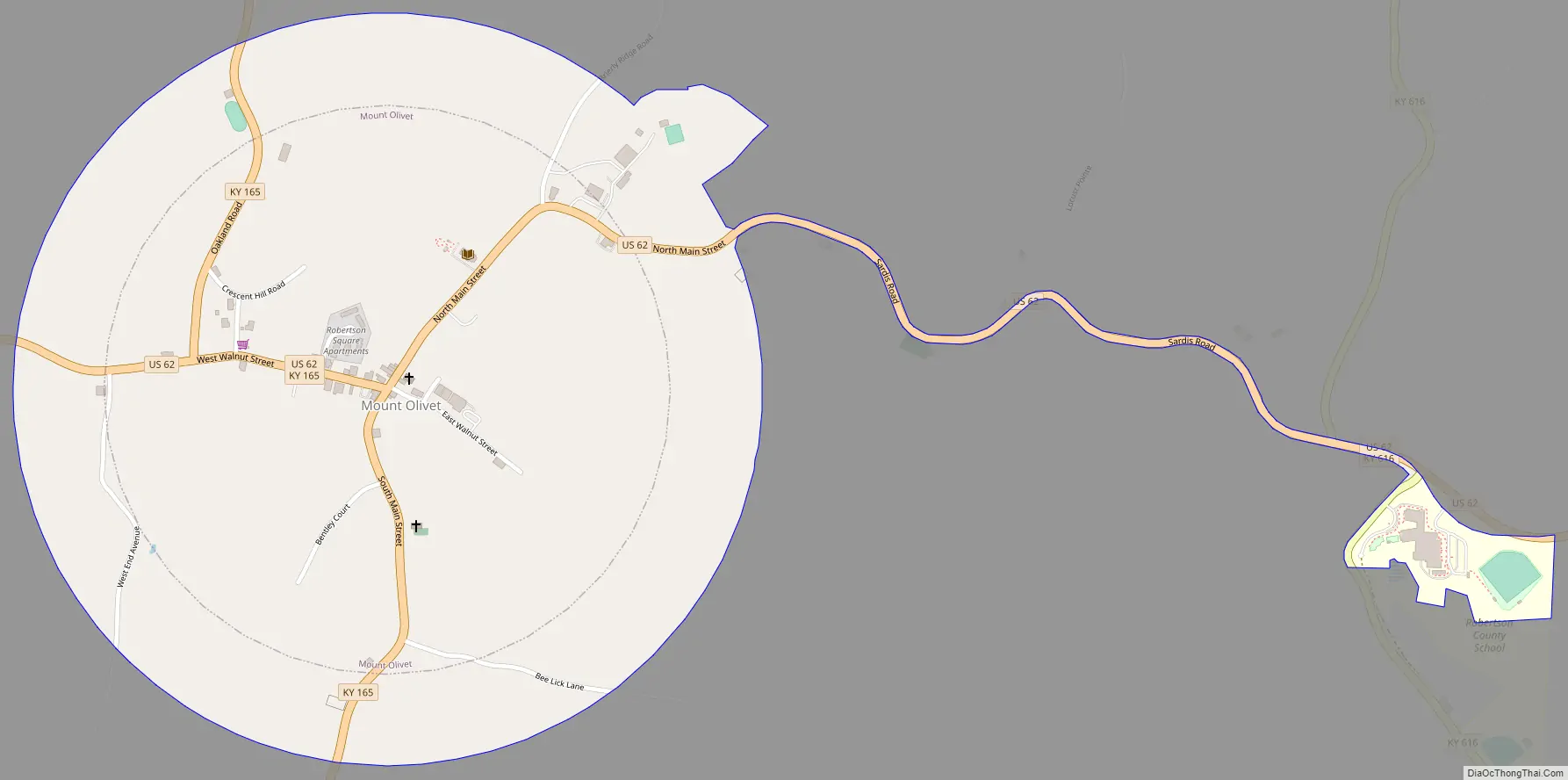
The 1871 act of incorporation established the town’s boundary as a perfect circle centered on the intersection of Main and Walnut streets with a radius of 120 poles (1,980 ft; 604 m). However, in 1981, the city clarified that the circle has a radius of 2,620 feet (800 m). In 2014, the city annexed 26.38 acres (10.68 ha) of unincorporated territory, consisting of the new Robertson County School and the rights of way of U.S. Route 62 and Kentucky Route 616 leading to the school.
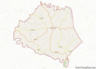
Mount Olivet Road Map
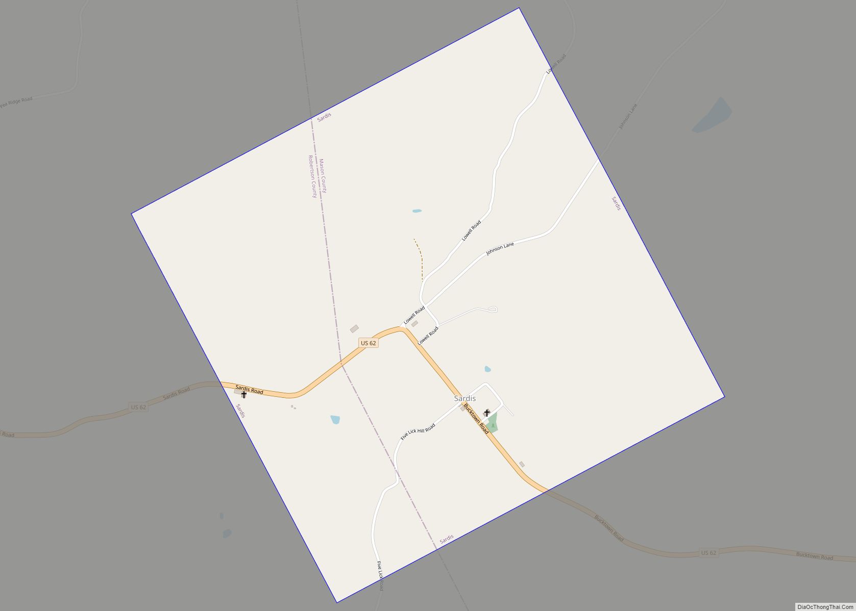
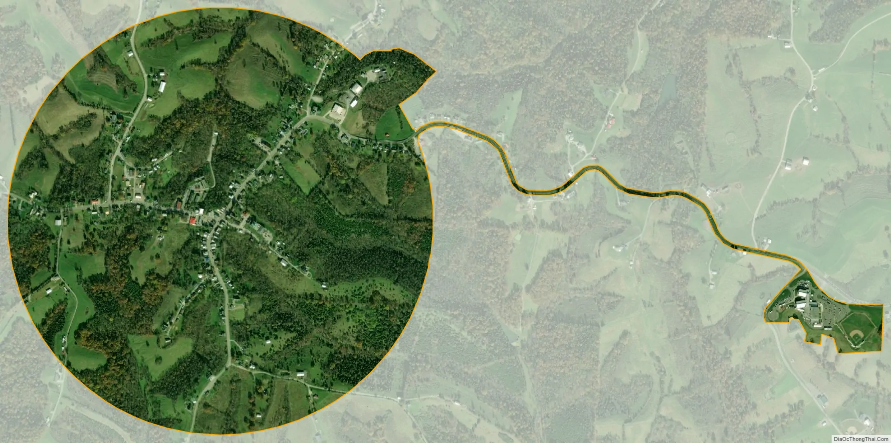
Mount Olivet city Satellite Map
Geography
Mount Olivet is located at 38°31′55″N 84°2′14″W / 38.53194°N 84.03722°W / 38.53194; -84.03722 (38.531827, -84.037167). According to the United States Census Bureau, the city has a total area of 0.4 square miles (1.0 km), all of it land.
See also
Map of Kentucky State and its subdivision:- Adair
- Allen
- Anderson
- Ballard
- Barren
- Bath
- Bell
- Boone
- Bourbon
- Boyd
- Boyle
- Bracken
- Breathitt
- Breckinridge
- Bullitt
- Butler
- Caldwell
- Calloway
- Campbell
- Carlisle
- Carroll
- Carter
- Casey
- Christian
- Clark
- Clay
- Clinton
- Crittenden
- Cumberland
- Daviess
- Edmonson
- Elliott
- Estill
- Fayette
- Fleming
- Floyd
- Franklin
- Fulton
- Gallatin
- Garrard
- Grant
- Graves
- Grayson
- Green
- Greenup
- Hancock
- Hardin
- Harlan
- Harrison
- Hart
- Henderson
- Henry
- Hickman
- Hopkins
- Jackson
- Jefferson
- Jessamine
- Johnson
- Kenton
- Knott
- Knox
- Larue
- Laurel
- Lawrence
- Lee
- Leslie
- Letcher
- Lewis
- Lincoln
- Livingston
- Logan
- Lyon
- Madison
- Magoffin
- Marion
- Marshall
- Martin
- Mason
- McCracken
- McCreary
- McLean
- Meade
- Menifee
- Mercer
- Metcalfe
- Monroe
- Montgomery
- Morgan
- Muhlenberg
- Nelson
- Nicholas
- Ohio
- Oldham
- Owen
- Owsley
- Pendleton
- Perry
- Pike
- Powell
- Pulaski
- Robertson
- Rockcastle
- Rowan
- Russell
- Scott
- Shelby
- Simpson
- Spencer
- Taylor
- Todd
- Trigg
- Trimble
- Union
- Warren
- Washington
- Wayne
- Webster
- Whitley
- Wolfe
- Woodford
- Alabama
- Alaska
- Arizona
- Arkansas
- California
- Colorado
- Connecticut
- Delaware
- District of Columbia
- Florida
- Georgia
- Hawaii
- Idaho
- Illinois
- Indiana
- Iowa
- Kansas
- Kentucky
- Louisiana
- Maine
- Maryland
- Massachusetts
- Michigan
- Minnesota
- Mississippi
- Missouri
- Montana
- Nebraska
- Nevada
- New Hampshire
- New Jersey
- New Mexico
- New York
- North Carolina
- North Dakota
- Ohio
- Oklahoma
- Oregon
- Pennsylvania
- Rhode Island
- South Carolina
- South Dakota
- Tennessee
- Texas
- Utah
- Vermont
- Virginia
- Washington
- West Virginia
- Wisconsin
- Wyoming