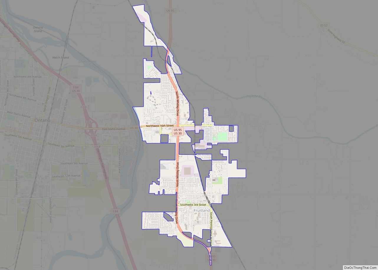
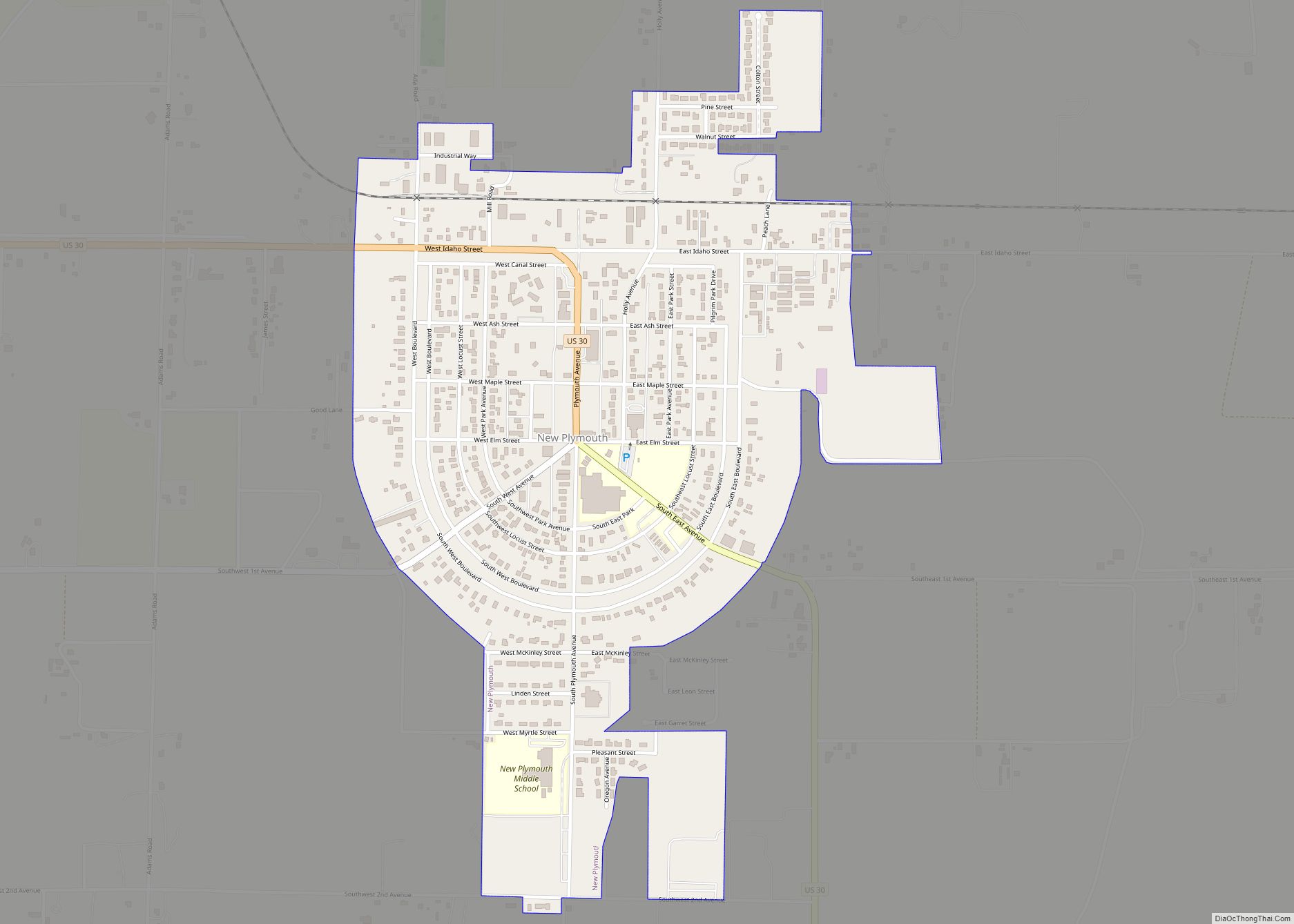
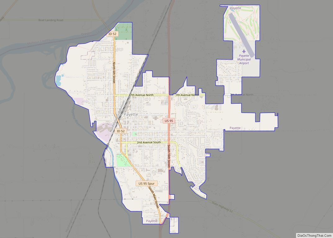
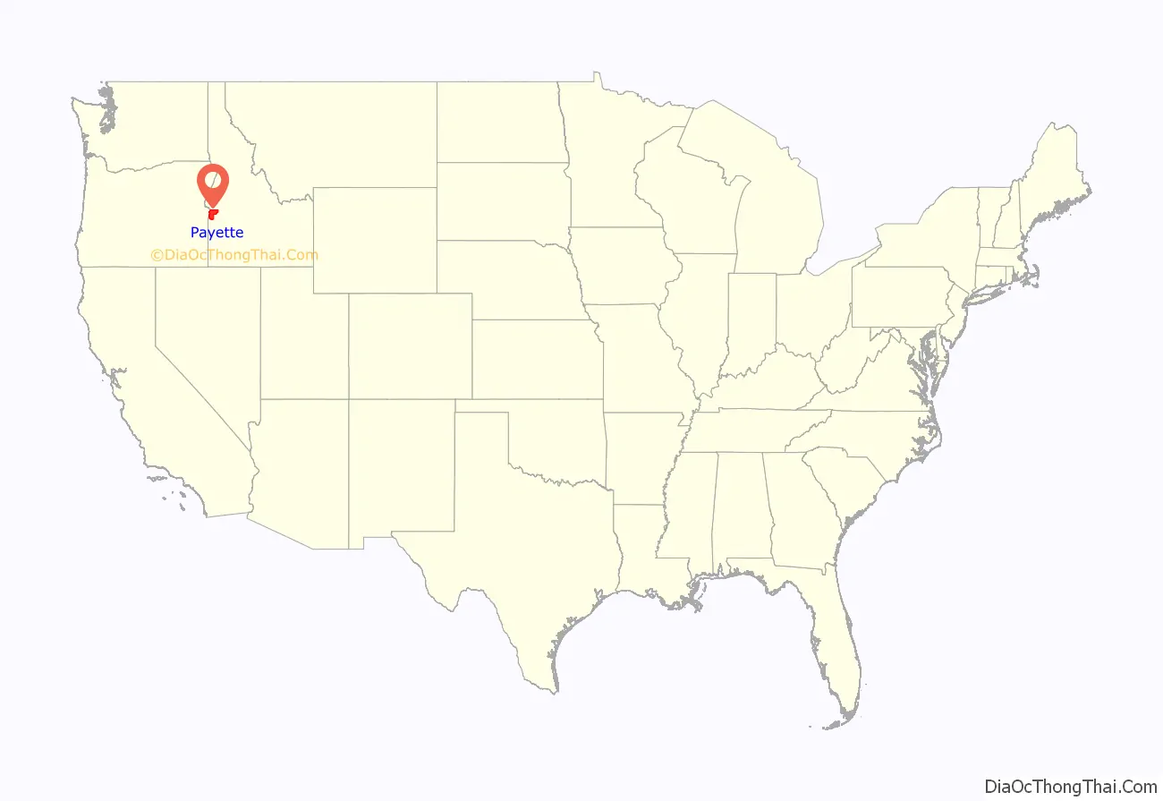
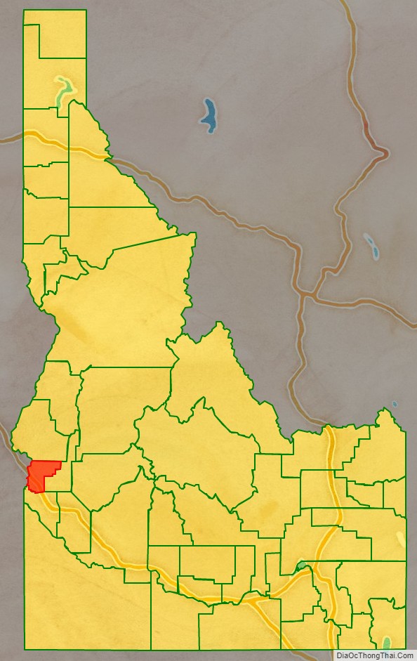
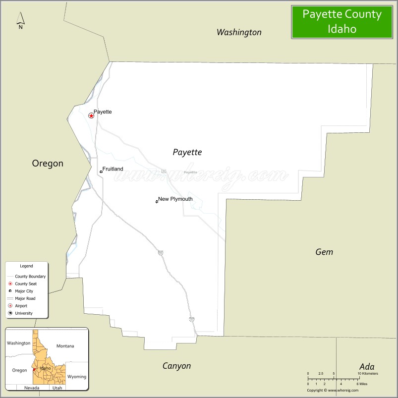
Payette County is a county located in Idaho in the United States of America. As of the 2010 census, the population was 22,623. The county seat and largest city is Payette.
Payette County is part of the Ontario micropolitan area.
| Name: | Payette County |
|---|---|
| FIPS code: | 16-075 |
| State: | Idaho |
| Founded: | February 28, 1917 |
| Named for: | Francois Payette |
| Seat: | Payette |
| Largest city: | Payette |
| Total Area: | 410 sq mi (1,100 km²) |
| Land Area: | 407 sq mi (1,050 km²) |
| Total Population: | 25,386 |
| Population Density: | 62/sq mi (24/km²) |
| Time zone: | UTC−7 (Mountain) |
| Summer Time Zone (DST): | UTC−6 (MDT) |
| Website: | www.payettecounty.org |
Payette County location map. Where is Payette County?
History
The county was established in 1917, partitioned from Canyon County. It was named after the Payette River, which was named after French-Canadian François Payette. Originally a fur trapper with the North West Company, Payette was the first white man in the area in 1818.
Payette County is one of the few counties in Idaho to be the home to the endangered Idaho ground squirrel.
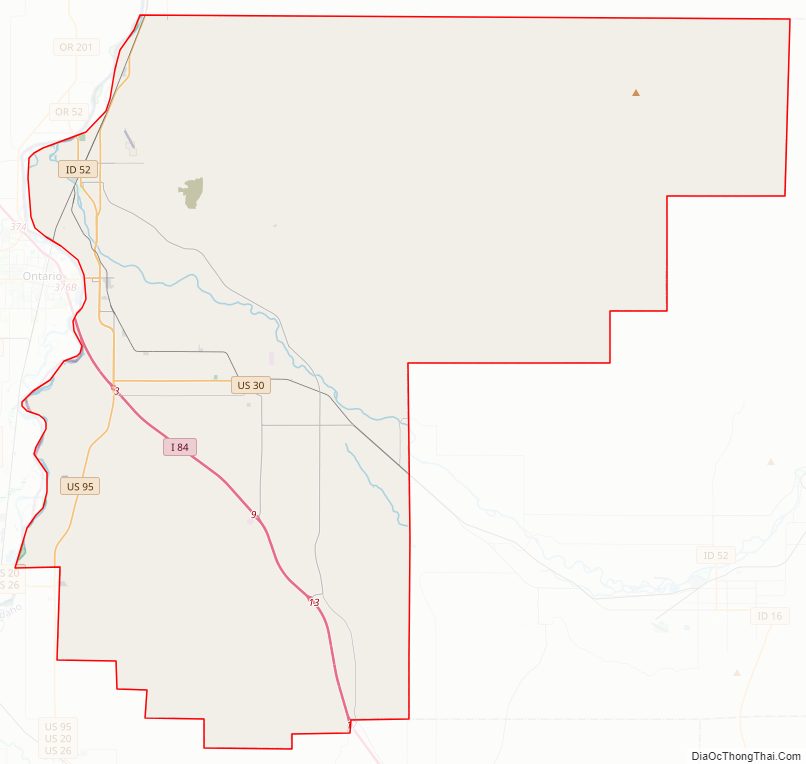
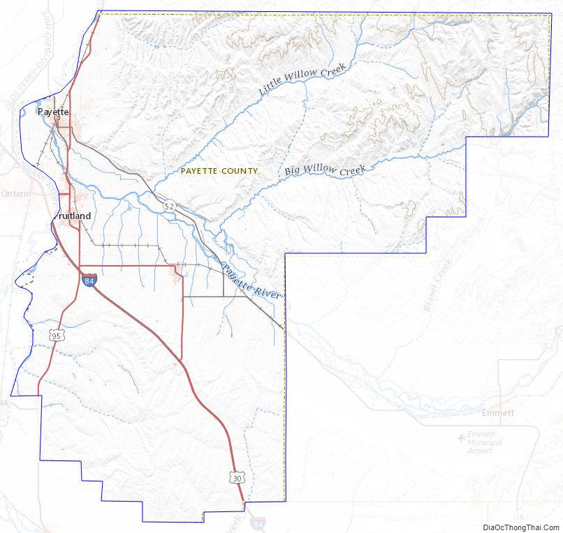
Payette County Road Map
Geography
According to the U.S. Census Bureau, the county has a total area of 410 square miles (1,100 km), of which 407 square miles (1,050 km) is land and 3.4 square miles (8.8 km) (0.8%) is water. It is the smallest county in Idaho by area.
Adjacent counties
- Washington County – north
- Gem County – east
- Canyon County – south
- Malheur County, Oregon – west
National protected area
- Deer Flat National Wildlife Refuge (part)
Rivers
- Snake River
- Payette River
Highways
- I 84
- US 30
- US 95
- SH-52
- SH-72
Payette County Topographic Map
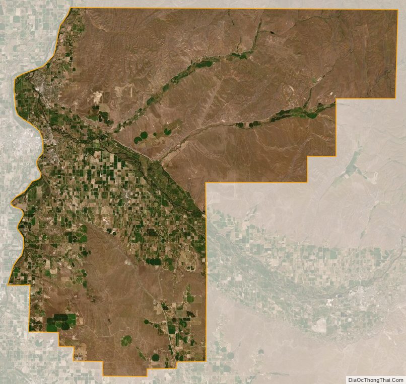
Payette County Satellite Map
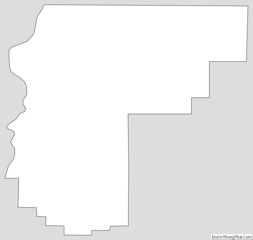
Payette County Outline Map