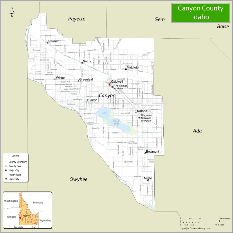
Canyon County is located in the U.S. state of Idaho. As of the 2020 Census, the population was 231,105, making it the second-most populous county in Idaho. The county seat is Caldwell, and its largest city is Nampa. Canyon County is part of the Boise metropolitan area.
| Name: | Canyon County |
|---|---|
| FIPS code: | 16-027 |
| State: | Idaho |
| Founded: | March 7, 1891 |
| Seat: | Caldwell |
| Largest city: | Nampa |
| Total Area: | 604 sq mi (1,560 km²) |
| Land Area: | 587 sq mi (1,520 km²) |
| Total Population: | 231,105 |
| Time zone: | UTC−7 (Mountain) |
| Summer Time Zone (DST): | UTC−6 (MDT) |
| Website: | www.canyoncounty.org |
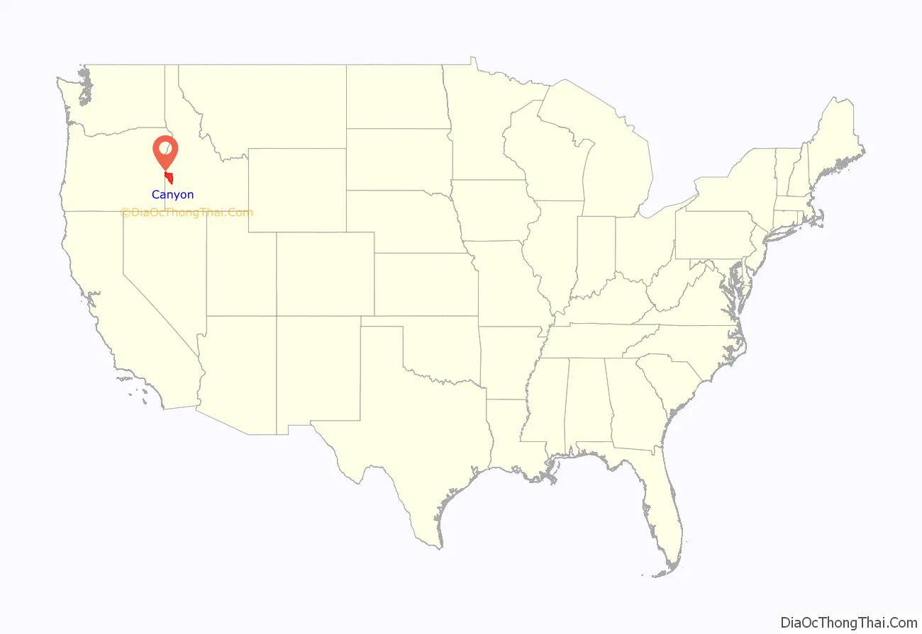
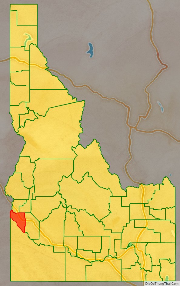
Canyon County location map. Where is Canyon County?
History
Hudson’s Bay Company established Fort Boise in 1834 near what is now Parma, but abandoned it in 1855. Emigrants traveled through Canyon County on the Oregon Trail.
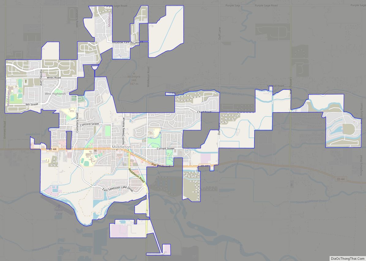
Discovery of gold in the Boise Basin in 1862 brought settlement to the region again. The lower Boise River was fully contained within Boise County from 1863 until the formation of Ada County in 1864. Settlement of the lower Boise River west of Boise City was limited prior to the completion of the Oregon Short Line Railroad. Middleton was the first settlement of Canyon County, starting in 1863. The 1870 Census for Ada County listed 76 residents of the Boise Valley, excluding Boise City and the 1880 Census listed 44 residents at Middleton. The arrival of the railroad at Caldwell led to the establishment of a town there as of August 1883.
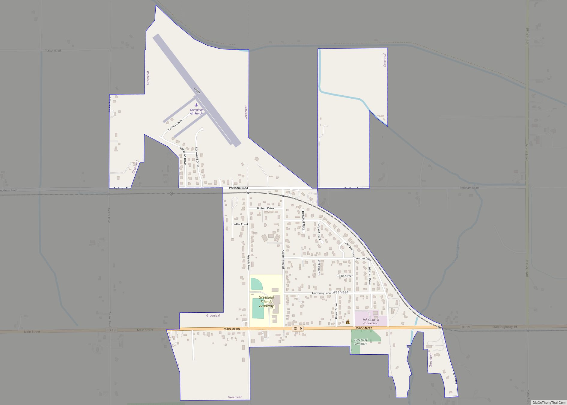
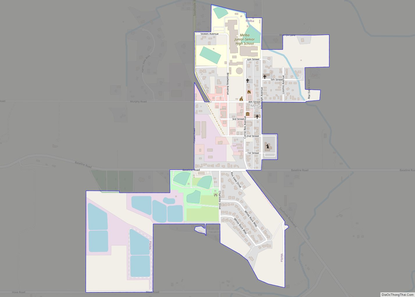
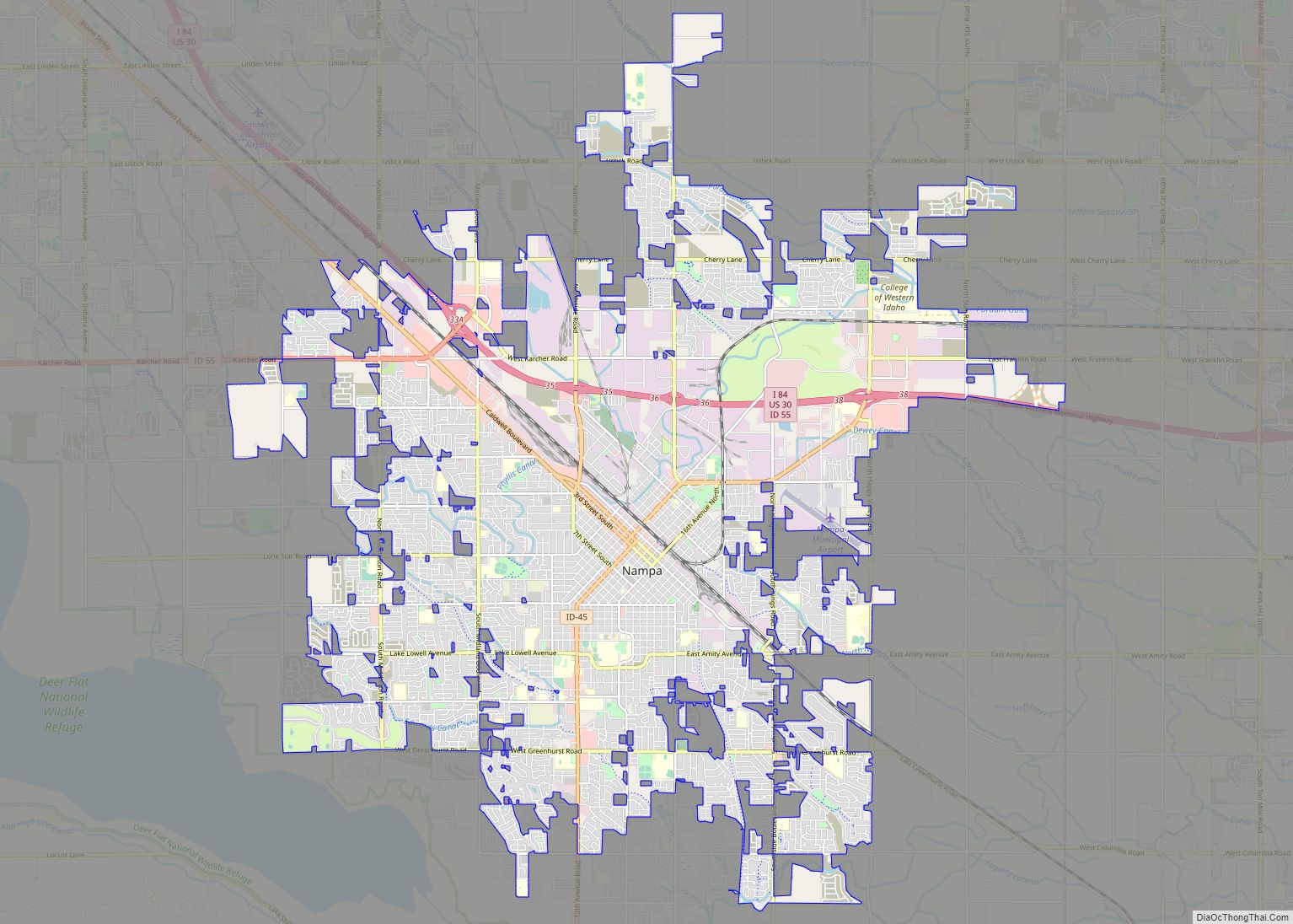
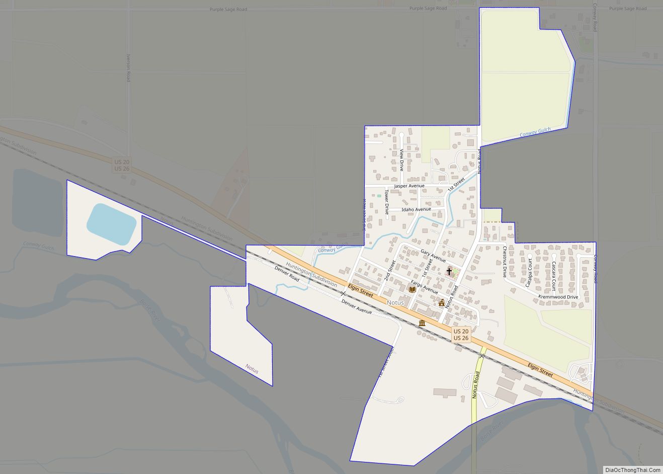
Businessmen James A. McGee and Alexander Duffes filed the plat for nearby Nampa in 1886. Parma was settled around the same time, with the Old Fort Boise post office being moved to the town’s location; it was incorporated in 1904. Ada County established precincts for each of the settlements with a combined 1890 Census population of 2,311. Significant settlement of Greenleaf and Notus started around 1904 with the two settlements listed as precincts at the 1910 census. Notus was incorporated in 1921 while Greenleaf was incorporated prior to 1980. Melba was incorporated in 1912 while Wilder was incorporated in 1919. The City of Star annexed a portion of territory in northeast Canyon County prior to 2007, becoming the county’s ninth incorporated city. The majority of Star is located within Ada County.
The Idaho Legislature created Canyon County from Ada County in an act approved March 7, 1891, effective at the November 26, 1892 election. Caldwell was established as the county seat. The county originally contained all of Canyon and Payette counties and part of Gem; Gem County formed in 1915 and Payette County in 1917. Some sources attribute the name to the canyon of the Boise River near Caldwell, while western writers John Rees and Vardis Fisher believed it was named for the Snake River canyon, which forms a natural boundary with Owyhee County to the south and west.
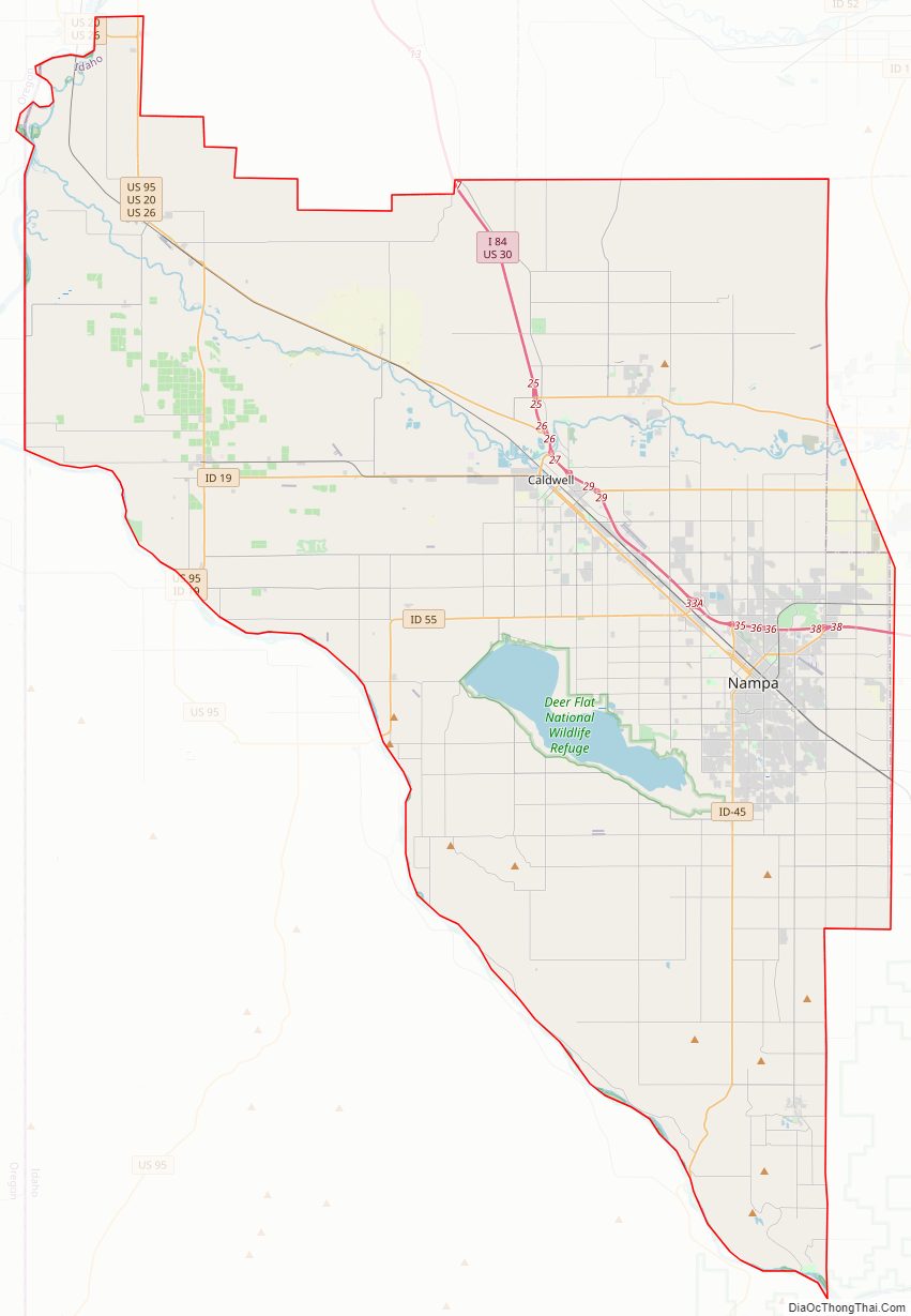
Canyon County Road Map
Geography
According to the U.S. Census Bureau, the county has a total area of 604 square miles (1,560 km), of which 587 sq mi (1,520 km) is land and 16 sq mi (41 km) (2.7%) is water.
Adjacent counties
- Payette County (north)
- Gem County (northeast)
- Ada County (east)
- Owyhee County (south)
- Malheur County, Oregon (west)
National protected areas
- Deer Flat National Wildlife Refuge (part)
- Snake River Birds of Prey National Conservation Area (part)
Major highways
- Interstate 84
- US 20
- US 26
- US 30
- US 95
- SH-19
- SH-44
- SH-45
- SH-55
Canyon County Topographic Map
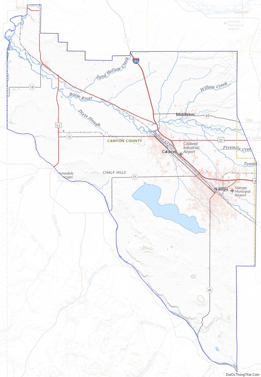
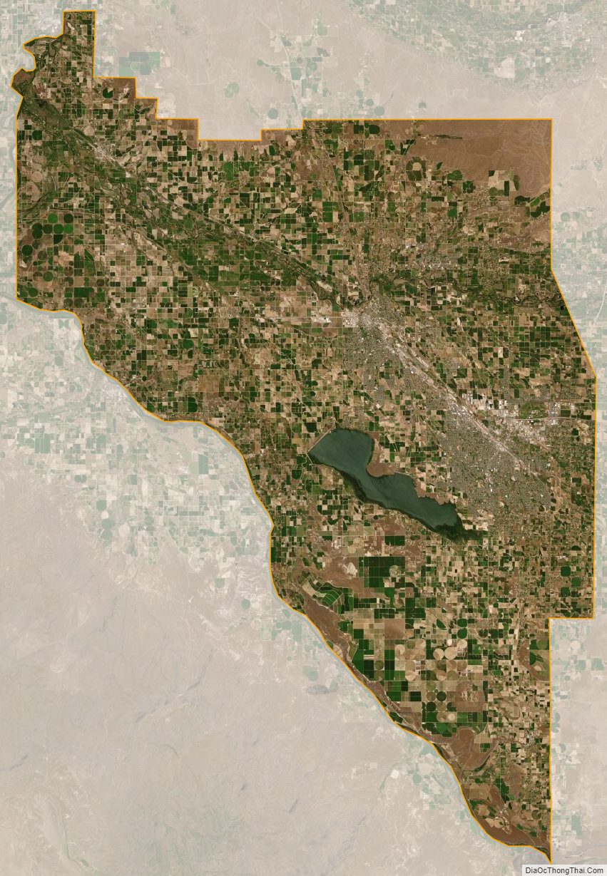
Canyon County Satellite Map
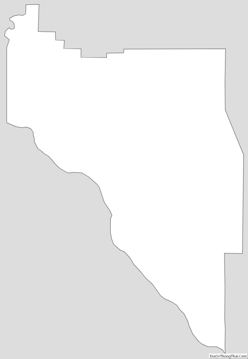
Canyon County Outline Map