Payette is a city in and the county seat of Payette County, Idaho, United States. The population was 7,433 at the 2010 census. It is part of the Ontario, OR−ID Micropolitan Statistical Area.
| Name: | Payette city |
|---|---|
| LSAD Code: | 25 |
| LSAD Description: | city (suffix) |
| State: | Idaho |
| County: | Payette County |
| Elevation: | 2,149 ft (655 m) |
| Total Area: | 4.02 sq mi (10.41 km²) |
| Land Area: | 3.98 sq mi (10.31 km²) |
| Water Area: | 0.04 sq mi (0.10 km²) |
| Total Population: | 7,433 |
| Population Density: | 1,941.46/sq mi (749.54/km²) |
| ZIP code: | 83661 |
| Area code: | 208, 986 |
| FIPS code: | 1661300 |
| GNISfeature ID: | 0397983 |
| Website: | payette.govoffice.com |
Online Interactive Map
Click on ![]() to view map in "full screen" mode.
to view map in "full screen" mode.
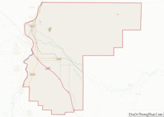
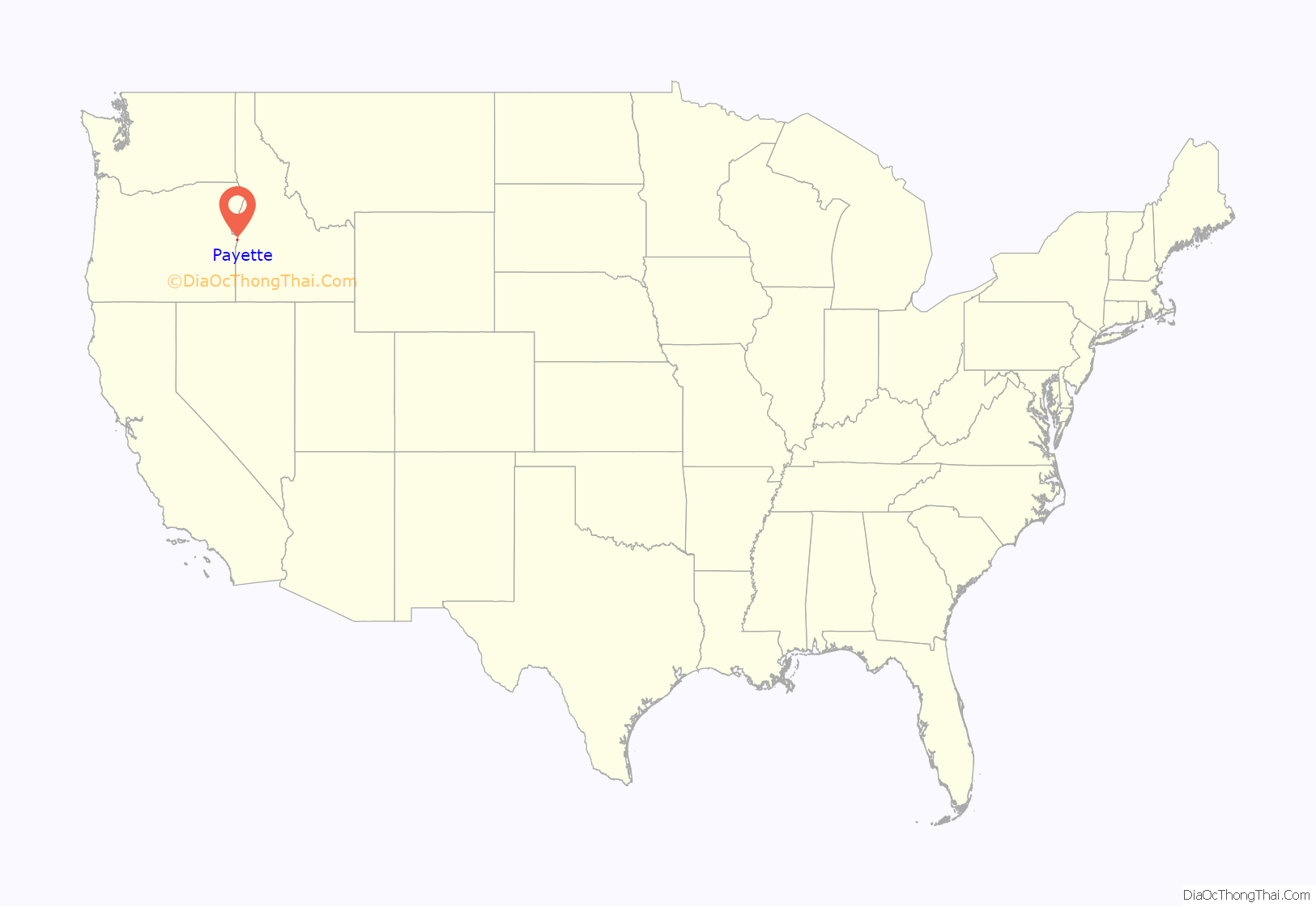
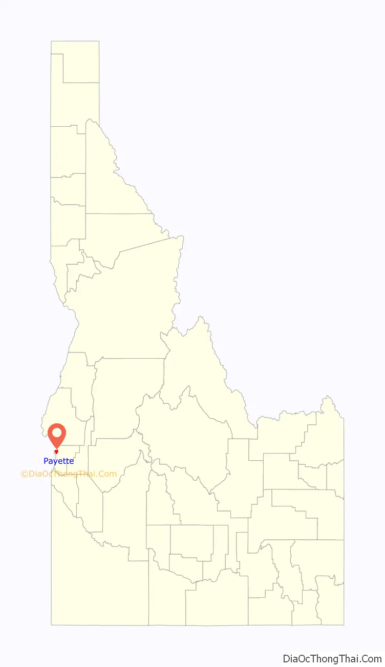
Payette location map. Where is Payette city?
History
The settlement was originally named “Boomerang,” a construction camp for the Oregon Short Line from 1882 to 1884 at the mouth of the Payette River. Logs were floated down the river to the sawmills at the camp to produce railroad ties. After completion of the railroad, the settlement moved upstream to its present site and incorporated in 1891 as “Payette,” to honor François Payette, a French-Canadian fur trapper and one of the first white men to explore the area. He arrived in present-day Idaho from Astoria and was later the head of the Fort Boise trading post for the British Hudson’s Bay Company from 1835 to 1844. A large merry man, Payette was highly regarded for his helpful assistance to the many travelers who came through the fort. Following his retirement in 1844, he returned to Montreal, after which the rest of his life is a mystery.
Payette County was created in 1917, partitioned from Canyon County, and the city of Payette became the county seat.
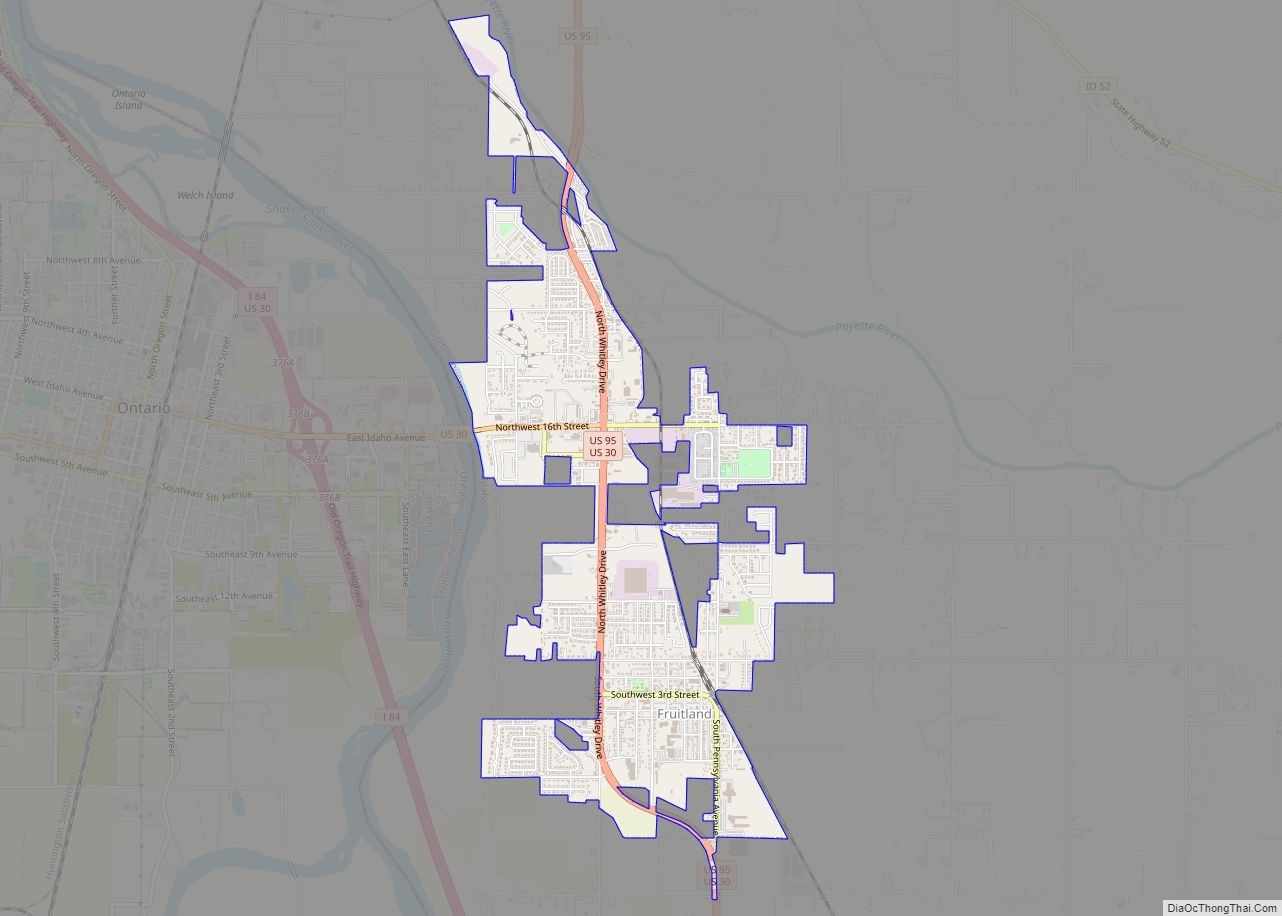
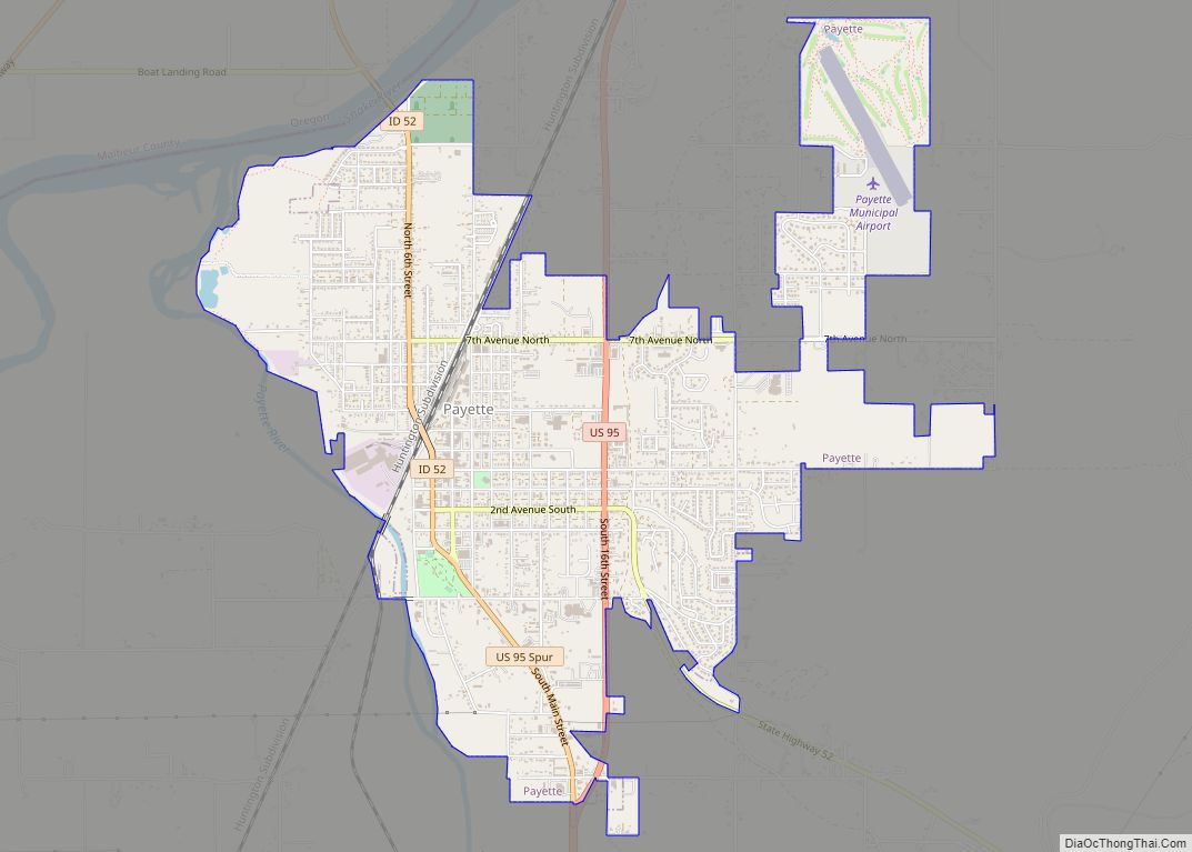
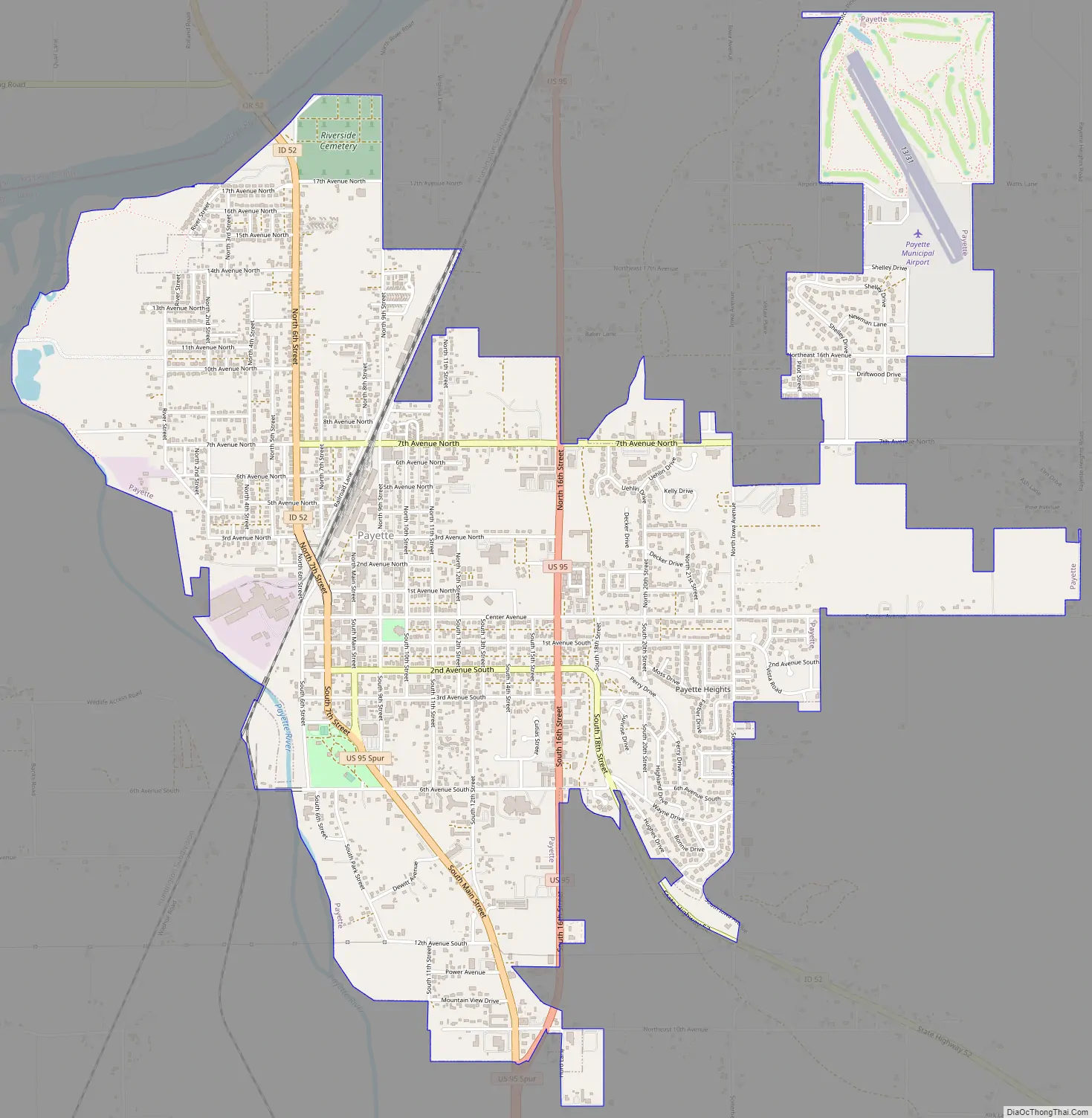
Payette Road Map
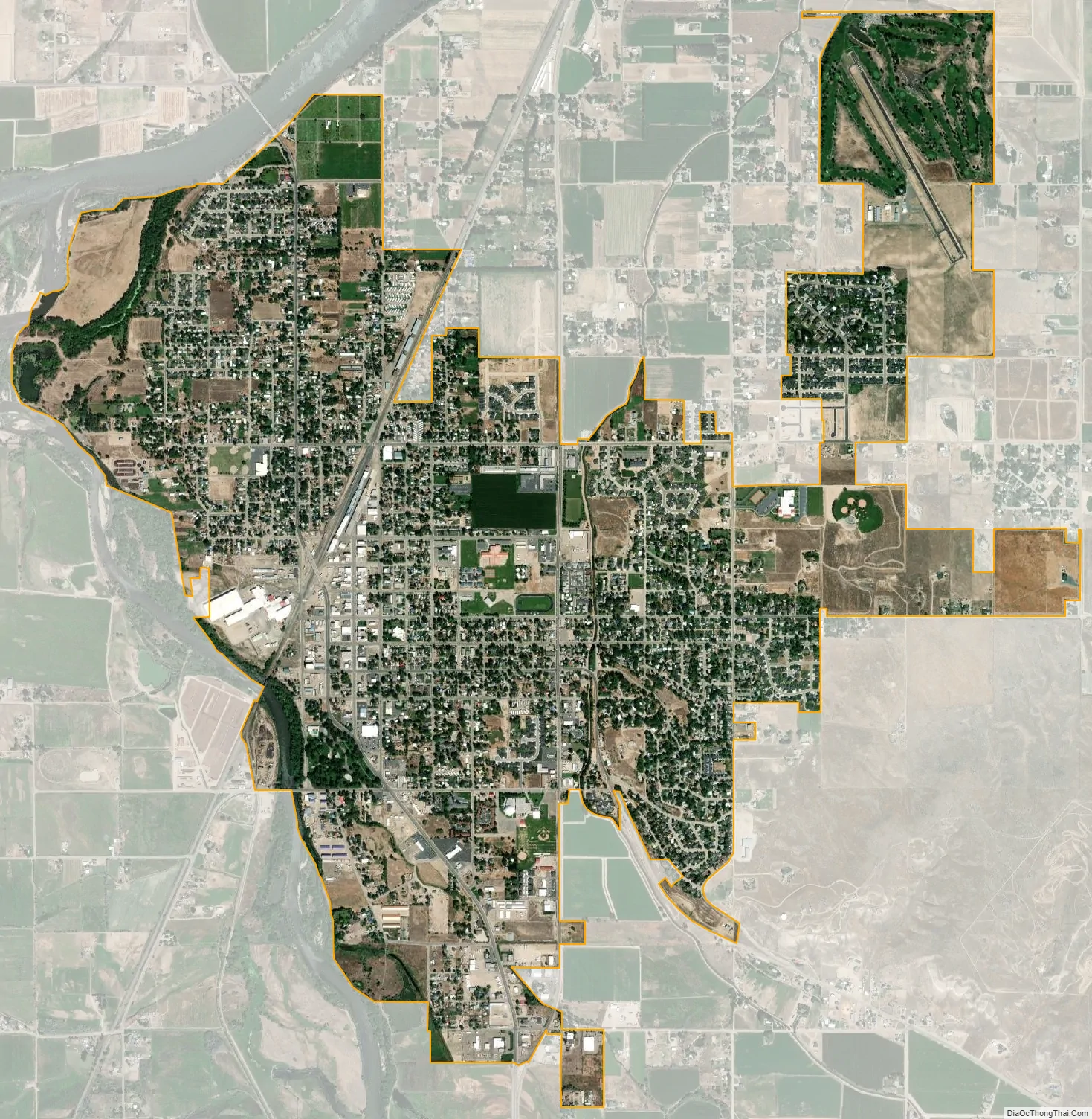
Payette city Satellite Map
Geography
Payette is located at 44°4′31″N 116°55′48″W / 44.07528°N 116.93000°W / 44.07528; -116.93000 (44.075175, -116.929928), at an elevation of 2,149 feet (655 m) above sea level.
According to the United States Census Bureau, the city has a total area of 3.86 square miles (10.00 km), of which 3.85 square miles (9.97 km) is land and 0.01 square miles (0.03 km) is water.
See also
Map of Idaho State and its subdivision:- Ada
- Adams
- Bannock
- Bear Lake
- Benewah
- Bingham
- Blaine
- Boise
- Bonner
- Bonneville
- Boundary
- Butte
- Camas
- Canyon
- Caribou
- Cassia
- Clark
- Clearwater
- Custer
- Elmore
- Franklin
- Fremont
- Gem
- Gooding
- Idaho
- Jefferson
- Jerome
- Kootenai
- Latah
- Lemhi
- Lewis
- Lincoln
- Madison
- Minidoka
- Nez Perce
- Oneida
- Owyhee
- Payette
- Power
- Shoshone
- Teton
- Twin Falls
- Valley
- Washington
- Alabama
- Alaska
- Arizona
- Arkansas
- California
- Colorado
- Connecticut
- Delaware
- District of Columbia
- Florida
- Georgia
- Hawaii
- Idaho
- Illinois
- Indiana
- Iowa
- Kansas
- Kentucky
- Louisiana
- Maine
- Maryland
- Massachusetts
- Michigan
- Minnesota
- Mississippi
- Missouri
- Montana
- Nebraska
- Nevada
- New Hampshire
- New Jersey
- New Mexico
- New York
- North Carolina
- North Dakota
- Ohio
- Oklahoma
- Oregon
- Pennsylvania
- Rhode Island
- South Carolina
- South Dakota
- Tennessee
- Texas
- Utah
- Vermont
- Virginia
- Washington
- West Virginia
- Wisconsin
- Wyoming