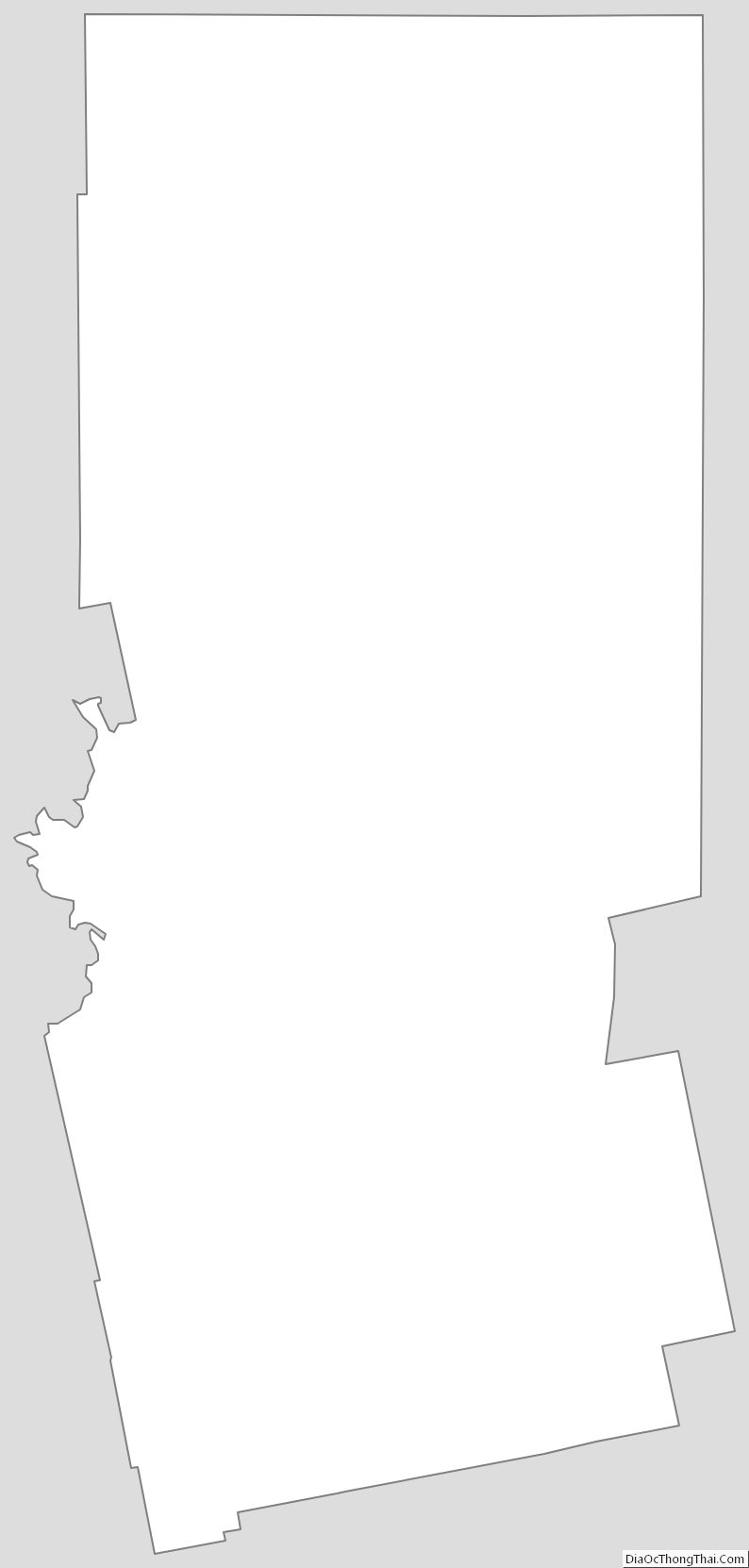
Piscataquis County (/pɪˈskætəkwɪs/ pih-SKAT-ə-kwiss) is a county located in the U.S. state of Maine. As of the 2020 census, its population was 16,800, making it Maine’s least-populous county. Its county seat is Dover-Foxcroft. The county was incorporated on March 23, 1838, taken from the western part of Penobscot County and the eastern part of Somerset County. It is named for an Abenaki word meaning “branch of the river” or “at the river branch.”
It is located at the geographic center of Maine. Originally it extended north to the Canada–US border, but in 1844 its northern portion was annexed by Aroostook County. In land area, Piscataquis is one of the largest U.S. counties east of the Mississippi River. It is also one of two counties in the Northeast (and seven counties east of the Mississippi River) that meet Frederick Jackson Turner’s requirements for “frontier” country – that is, having fewer than six inhabitants per square mile, the other being Hamilton County, New York.
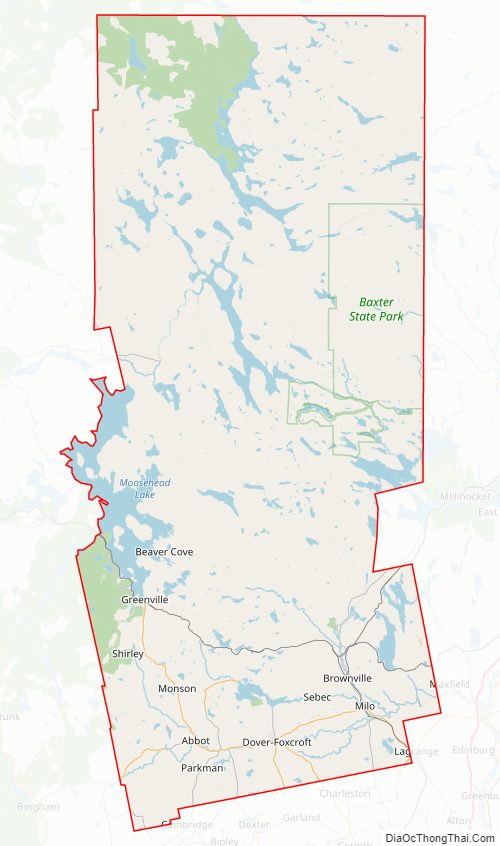
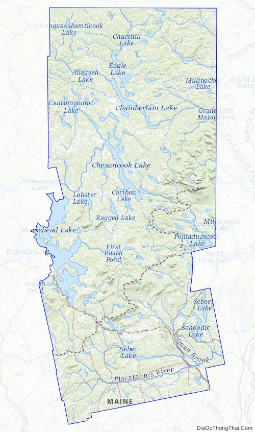
Baxter State Park, a large wilderness preserve, is located in Piscataquis County.
| Name: | Piscataquis County |
|---|---|
| FIPS code: | 23-021 |
| State: | Maine |
| Founded: | March 23, 1838 |
| Named for: | Piscataquis River |
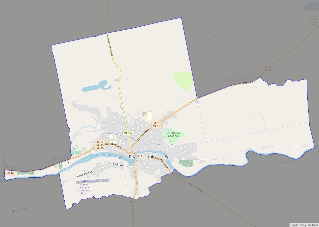
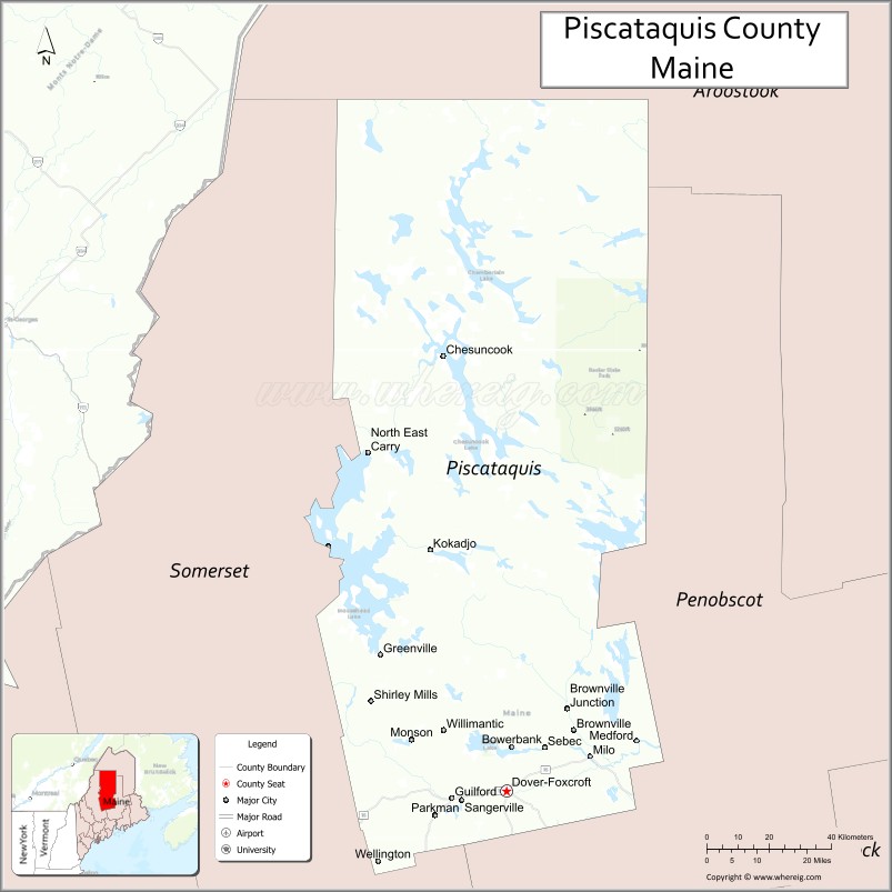
| Seat: | Dover-Foxcroft |
| Largest town: | Dover-Foxcroft |
| Total Area: | 4,378 sq mi (11,340 km²) |
| Land Area: | 3,961 sq mi (10,260 km²) |
| Total Population: | 16,800 |
| Population Density: | 3.8/sq mi (1.5/km²) |
| Time zone: | UTC−5 (Eastern) |
| Summer Time Zone (DST): | UTC−4 (EDT) |
| Website: | www.piscataquis.us |
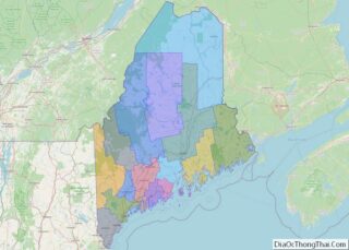
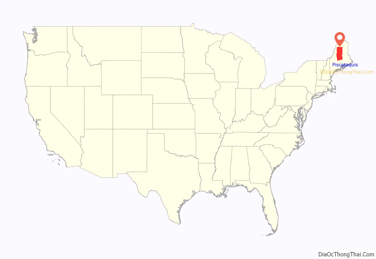
Piscataquis County location map. Where is Piscataquis County?
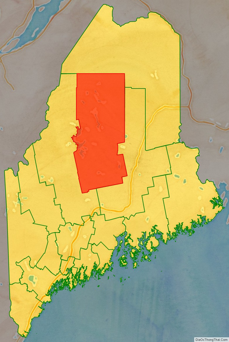
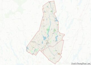
Piscataquis County Road Map
Geography
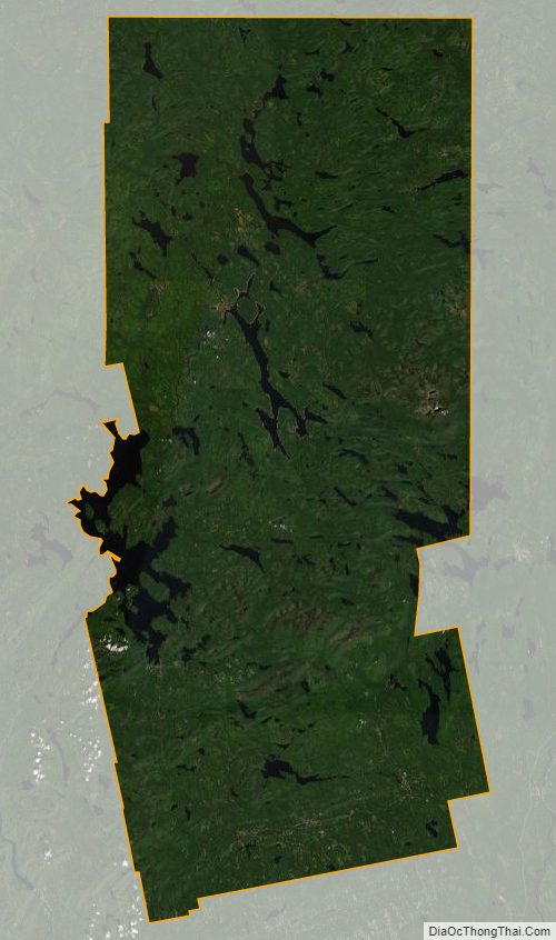
According to the U.S. Census Bureau, the county has a total area of 4,378 square miles (11,340 km), of which 3,961 square miles (10,260 km) is land and 417 square miles (1,080 km) (9.5%) is water. It is the second-largest county in Maine by area. The largest lake in the county is Moosehead Lake at 120 square miles (310 km). The highest natural point in the county and the state of Maine is Mount Katahdin at 5,271 feet (1,607 meters), while the geographic center is Greeley Landing in the Town of Dover-Foxcroft.
Adjacent counties
- Aroostook County – north
- Penobscot County – southeast
- Somerset County – west
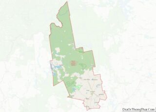
Piscataquis County Topographic Map
Piscataquis County Satellite Map
Piscataquis County Outline Map