San Augustine County is a county located in the U.S. state of Texas. As of the 2020 census, its population was 7,918. Its county seat is San Augustine.
| Name: | San Augustine County |
|---|---|
| FIPS code: | 48-405 |
| State: | Texas |
| Founded: | 1837 |
| Named for: | Presidio de San Agustín de Ahumada, named for Agustín de Ahumada, 2nd Marquess of Amarillas |
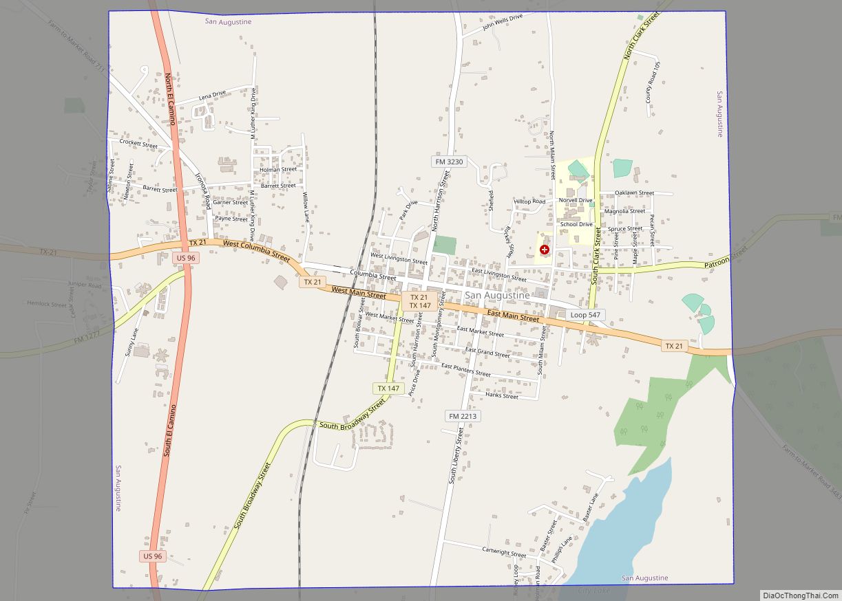
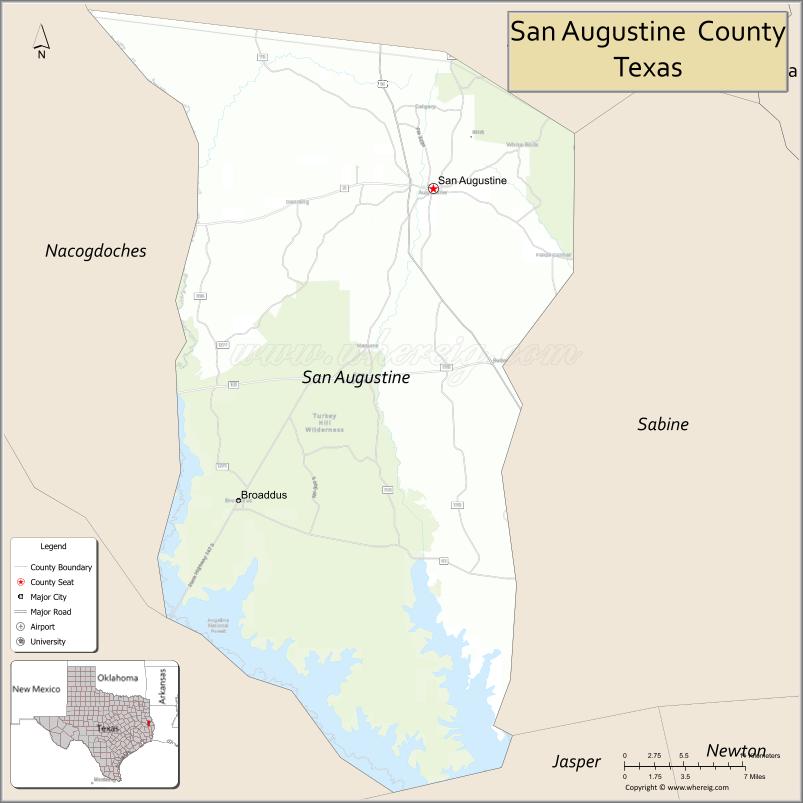
| Seat: | San Augustine |
| Largest city: | San Augustine |
| Total Area: | 592 sq mi (1,530 km²) |
| Land Area: | 531 sq mi (1,380 km²) |
| Total Population: | 7,918 |
| Population Density: | 13/sq mi (5.2/km²) |
| Time zone: | UTC−6 (Central) |
| Summer Time Zone (DST): | UTC−5 (CDT) |
| Website: | www.co.san-augustine.tx.us |
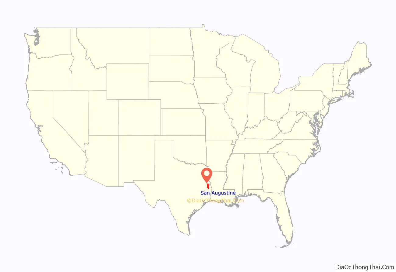
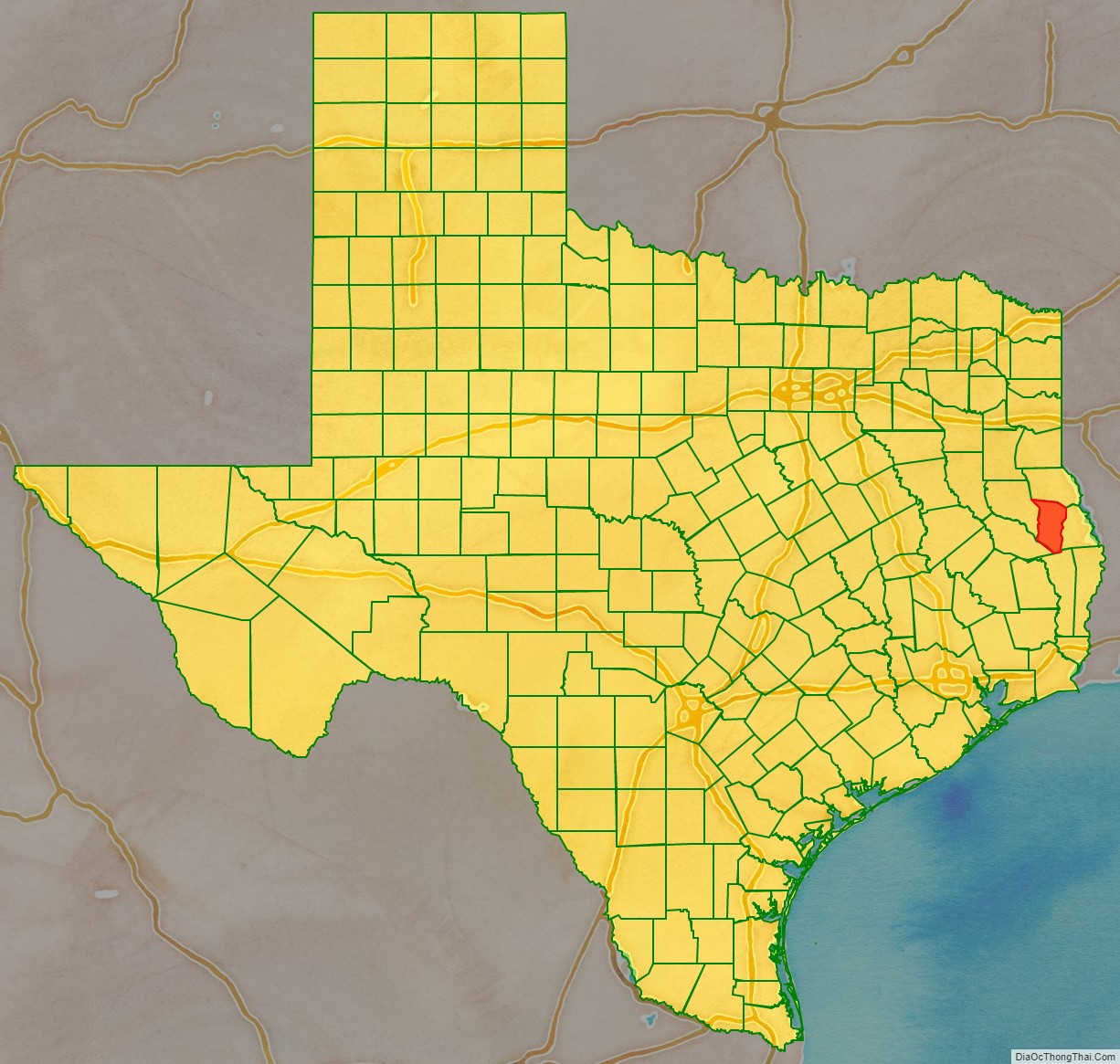
San Augustine County location map. Where is San Augustine County?
History
San Augustine County was formed in 1837. It was supposedly named after the Saint, Augustine of Hippo. However, it seems more plausible that the county was named for the town of San Augustine, which had been established five years earlier and whose name was based upon an 18th-century Spanish presidio (fortress), the Presidio de San Agustín de Ahumada, named for Agustín de Ahumada, 2nd Marquess of Amarillas.
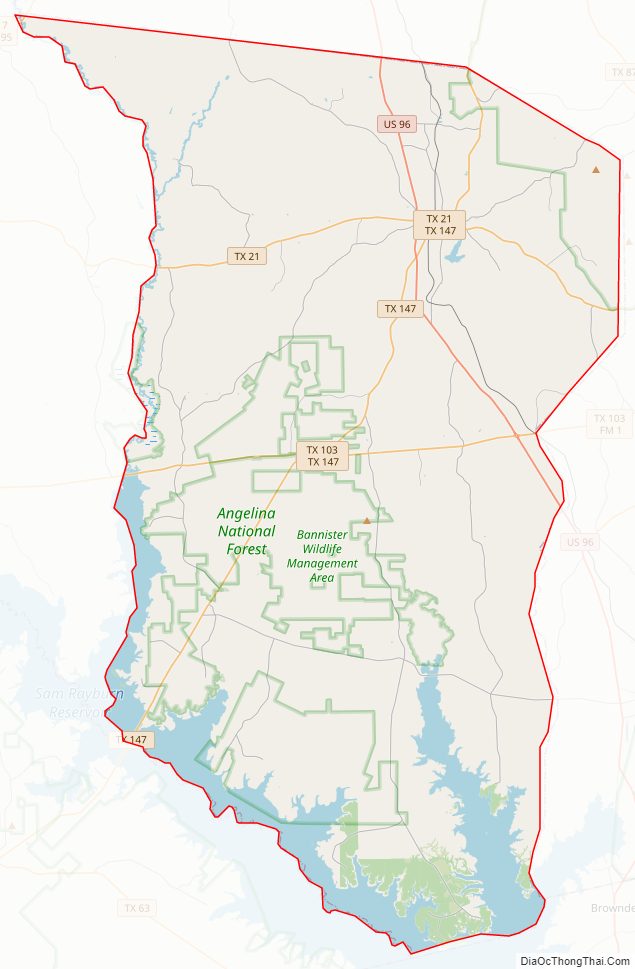
San Augustine County Road Map
Geography
According to the U.S. Census Bureau, the county has a total area of 592 square miles (1,530 km), of which 531 square miles (1,380 km) is land and 62 square miles (160 km) (10%) is water.
Major highways
- U.S. Highway 96
- State Highway 21
- State Highway 103
- State Highway 147
Adjacent counties
- Shelby County (north)
- Sabine County (east)
- Jasper County (south)
- Angelina County (southwest)
- Nacogdoches County (west)
Protected areas
- Angelina National Forest (part)
- Sabine National Forest (part)
- Mission Dolores State Historic Site
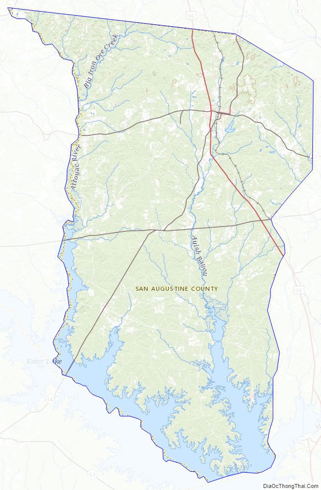
San Augustine County Topographic Map
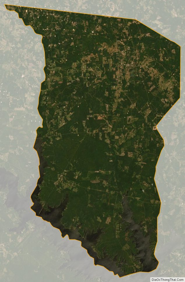
San Augustine County Satellite Map
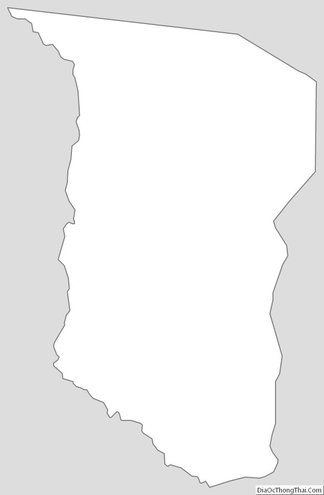
San Augustine County Outline Map