Shelby County is a county located in the far eastern portion of the U.S. state of Texas. As of the 2020 census, its population was 24,022. Its county seat is Center. The county was established in 1835 as a municipality of Mexico and organized as a county in 1837. It is named for Isaac Shelby, a soldier in the American Revolution who became the first governor of Kentucky.
| Name: | Shelby County |
|---|---|
| FIPS code: | 48-419 |
| State: | Texas |
| Founded: | 1837 |
| Named for: | Isaac Shelby |
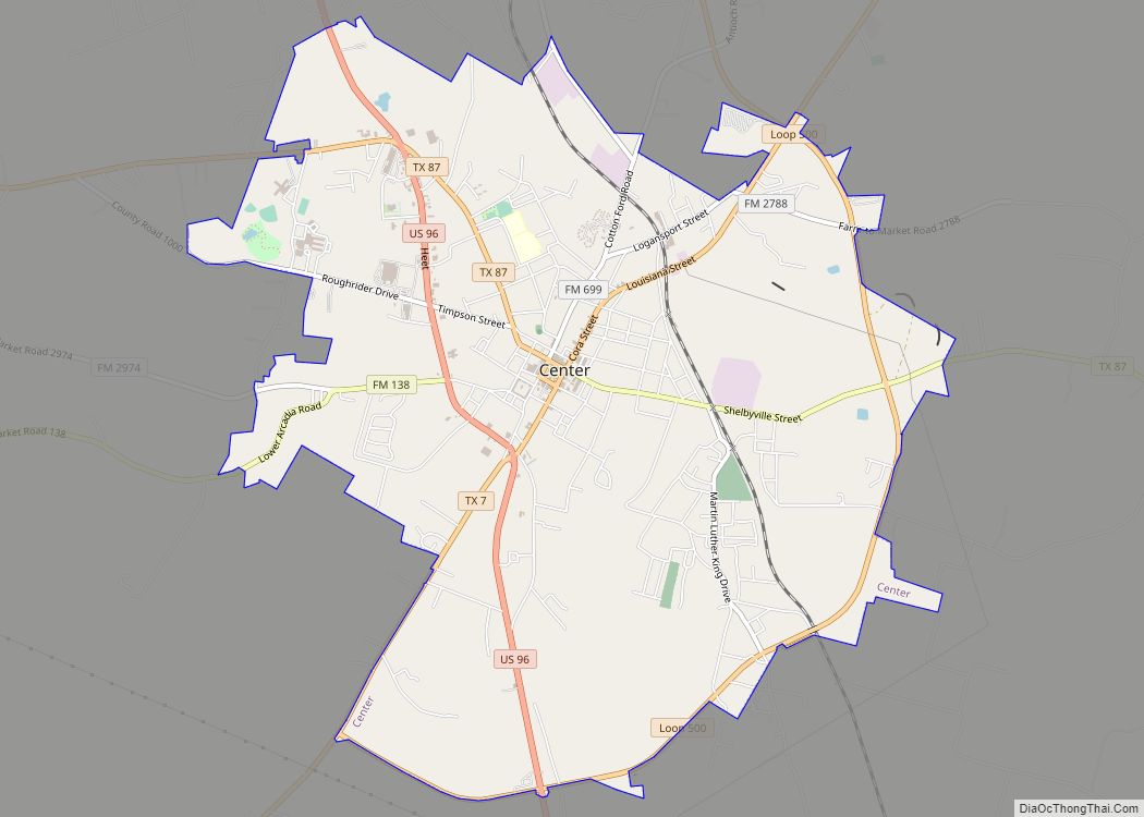
| Seat: | Center |
| Largest city: | Center |
| Total Area: | 835 sq mi (2,160 km²) |
| Land Area: | 796 sq mi (2,060 km²) |
| Total Population: | 24,022 |
| Population Density: | 29/sq mi (11/km²) |
| Time zone: | UTC−6 (Central) |
| Summer Time Zone (DST): | UTC−5 (CDT) |
| Website: | www.co.shelby.tx.us |
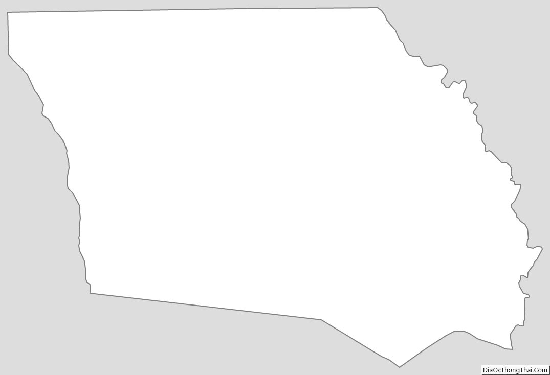
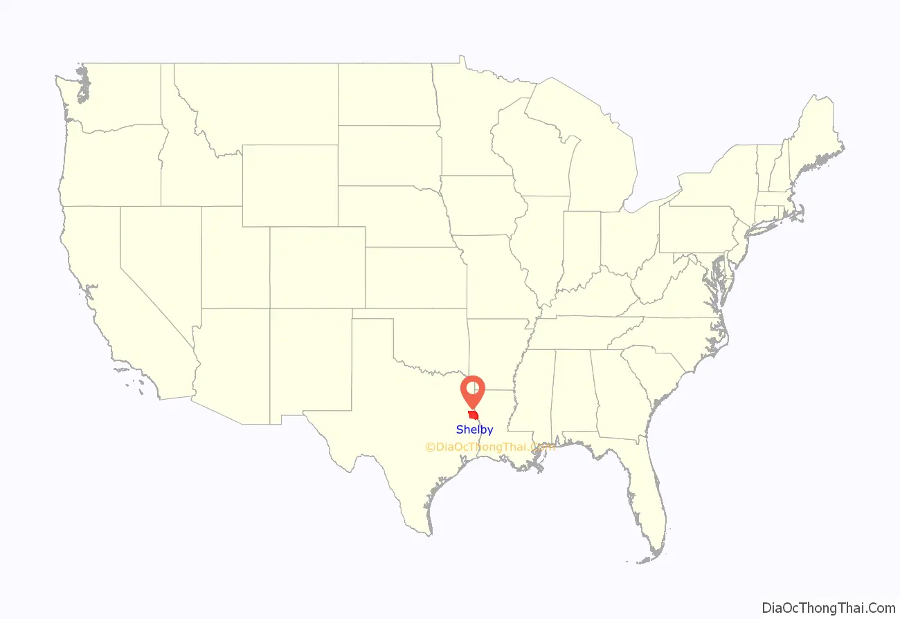
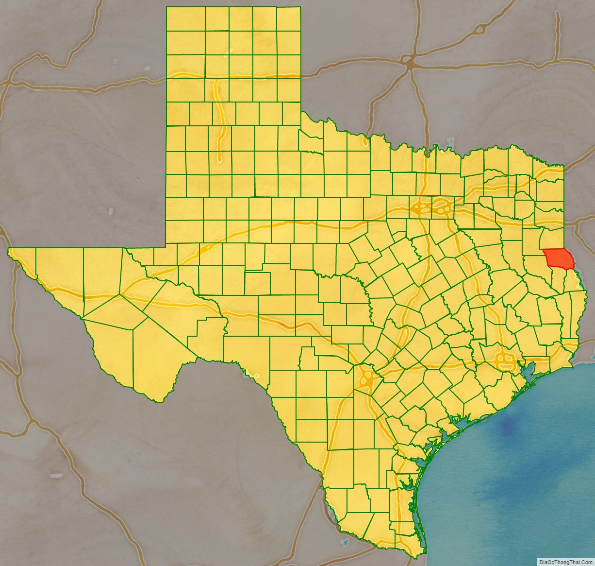
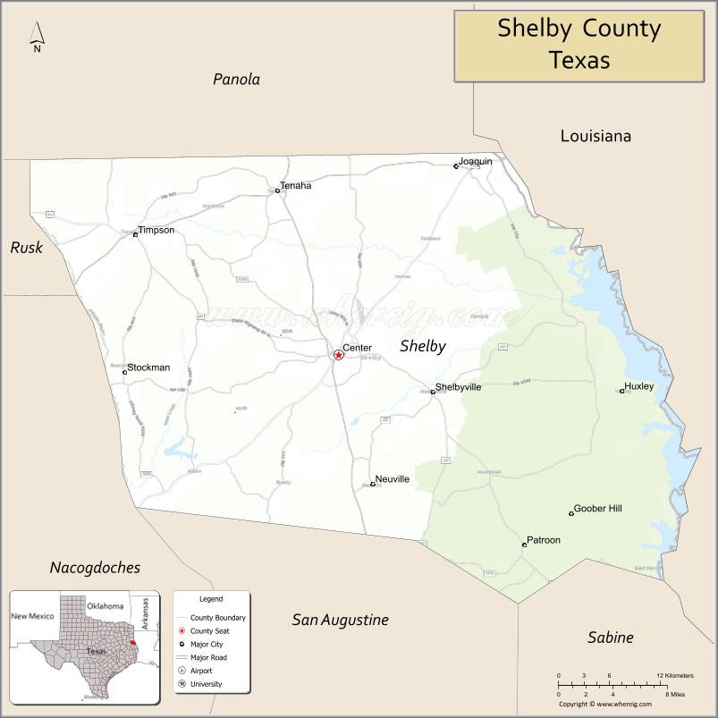
Shelby County location map. Where is Shelby County?
History
Shelby County was established in 1837. It was named for Isaac Shelby, a soldier from Tennessee during the American Revolution, and first Governor of Kentucky.
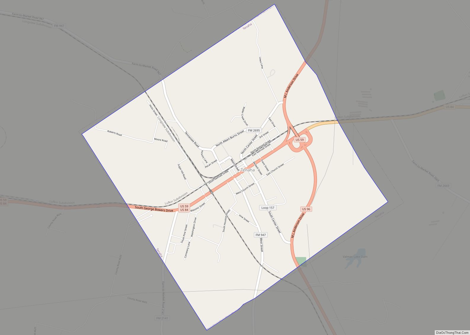
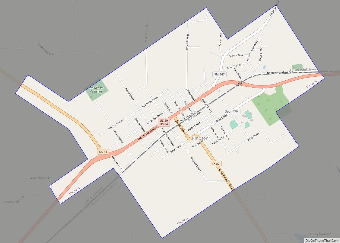
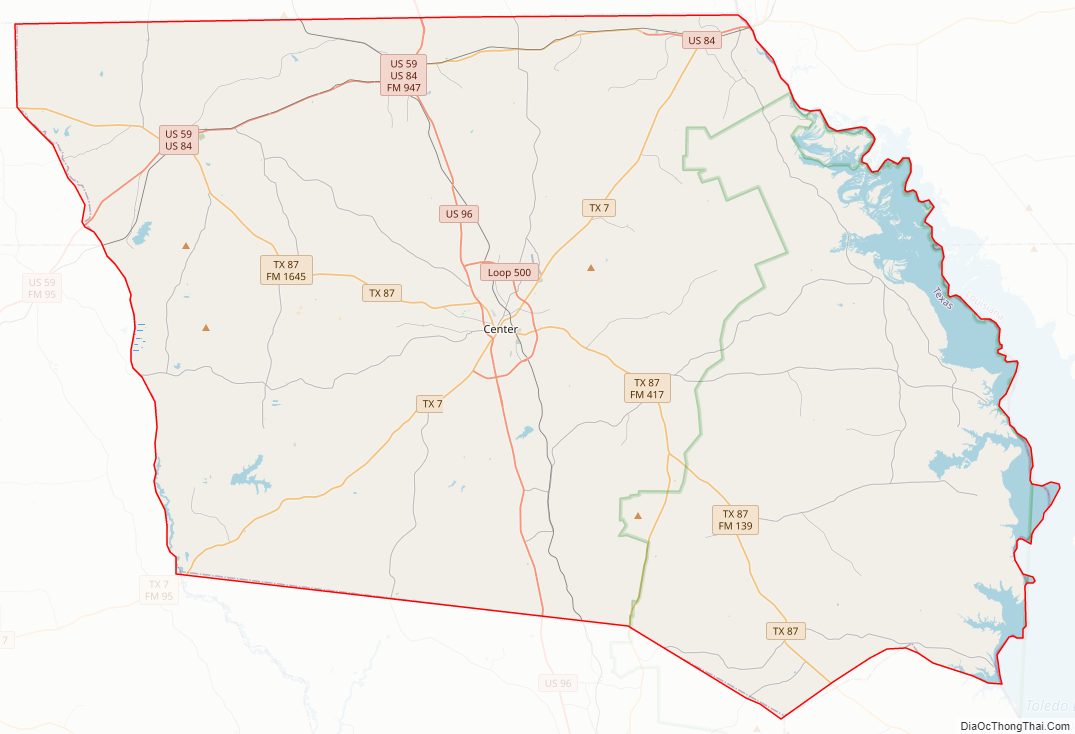
Shelby County Road Map
Geography
According to the U.S. Census Bureau, the county has a total area of 835 square miles (2,160 km), of which 796 square miles (2,060 km) are land and 39 square miles (100 km) (4.7%) are covered by water.
Adjacent counties and parishes
- Panola County (north)
- De Soto Parish, Louisiana (northeast)
- Sabine Parish, Louisiana (east)
- Sabine County (south)
- San Augustine County (south)
- Nacogdoches County (southwest)
- Rusk County (northwest)
National protected area
- Sabine National Forest (part)
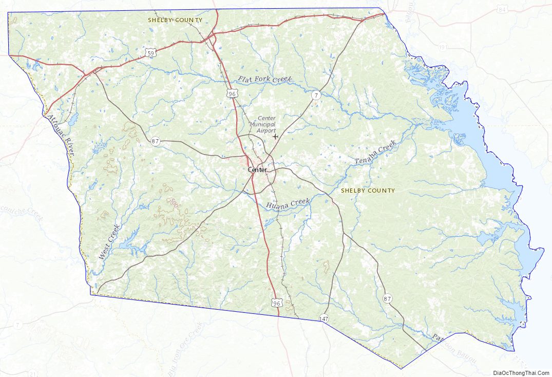
Shelby County Topographic Map
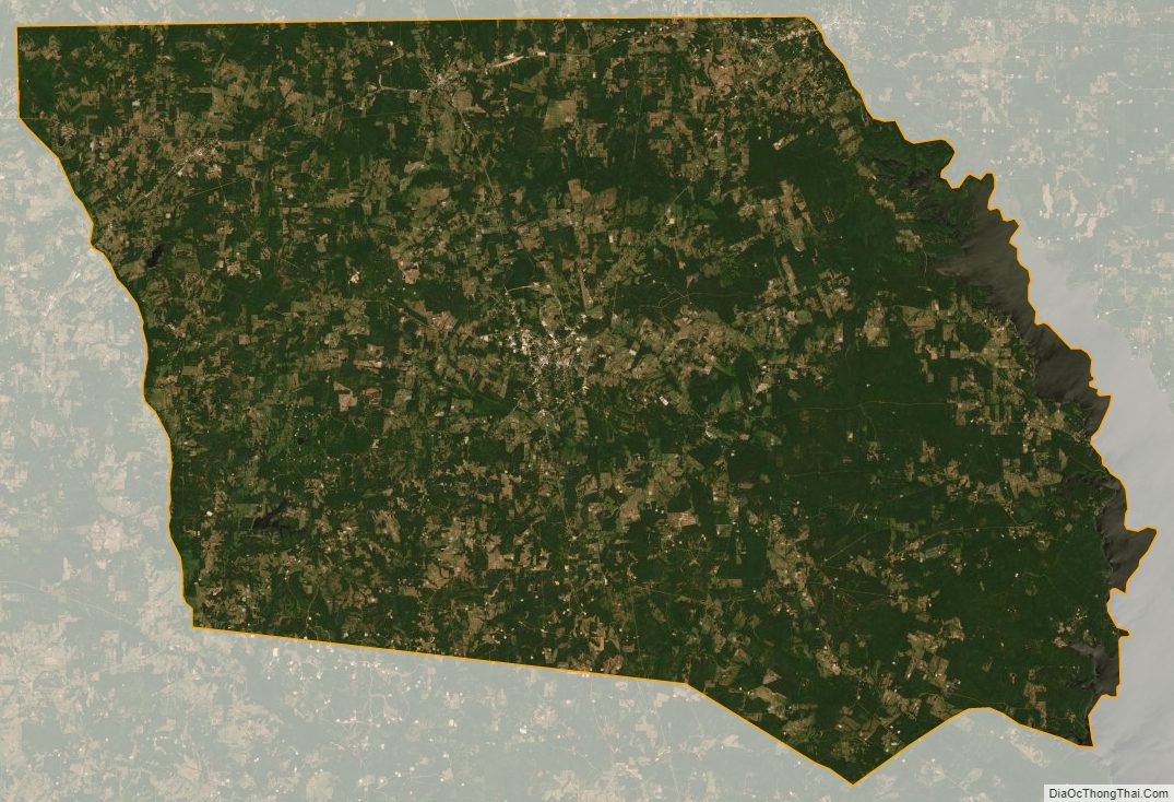
Shelby County Satellite Map
Shelby County Outline Map