Sheridan County is a county in the U.S. state of Wyoming. As of the 2020 United States Census, the population was 30,921. The county seat is Sheridan. Its northern boundary abuts the Montana state border.
Sheridan County comprises the Sheridan, WY Micropolitan Statistical Area.
| Name: | Sheridan County |
|---|---|
| FIPS code: | 56-033 |
| State: | Wyoming |
| Founded: | March 9, 1888 |
| Named for: | Philip Sheridan |
| Seat: | Sheridan |
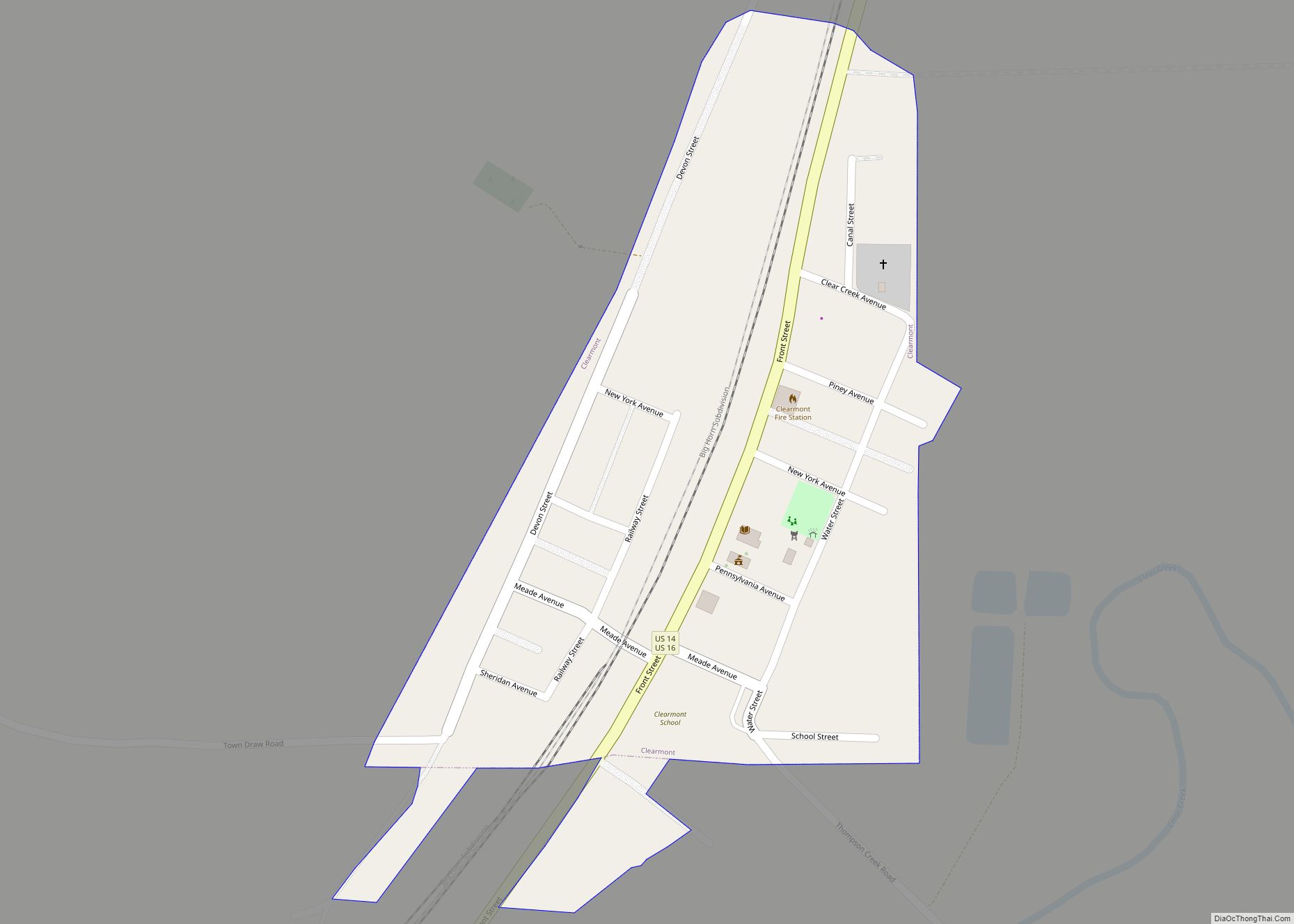
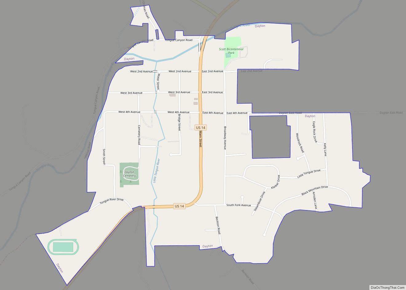
| Largest city: | Sheridan |
| Total Area: | 2,527 sq mi (6,540 km²) |
| Land Area: | 2,524 sq mi (6,540 km²) |
| Total Population: | 30,921 |
| Population Density: | 12/sq mi (4.7/km²) |
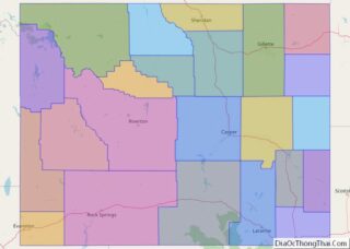
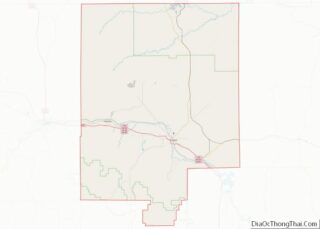
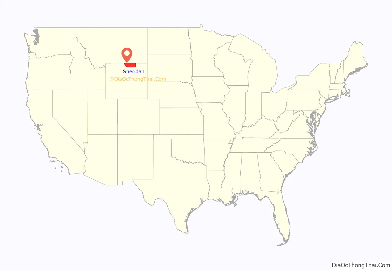
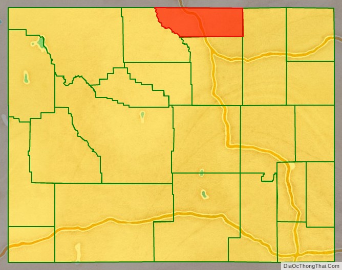
Sheridan County location map. Where is Sheridan County?
History
Sheridan County was created by the legislature of the Wyoming Territory on March 9, 1888. The county was formed from a portion of Johnson County. Sheridan County was named for Philip Sheridan, a general in the American Civil War and controversial Indian fighter.
A portion of Sheridan County was annexed in 1897 to create Big Horn County. Sheridan County boundary lines were also slightly altered in 1911, and again in 1929, after which it has retained its boundary lines to the present time.
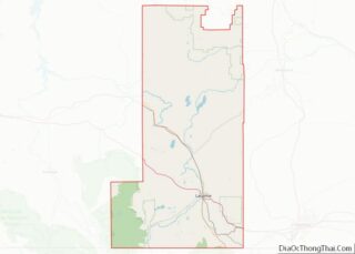
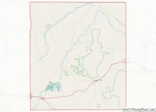
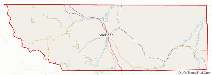
Sheridan County Road Map
Geography
According to the U.S. Census Bureau, the county has a total area of 2,527 square miles (6,540 km), of which 2,524 square miles (6,540 km) is land and 3.1 square miles (8.0 km) (0.1%) is water.
Adjacent counties
- Big Horn County, Montana – north
- Powder River County, Montana – northeast
- Campbell County – east
- Johnson County – south
- Big Horn County – west
Major highways
- Interstate 90
- I-90 BL
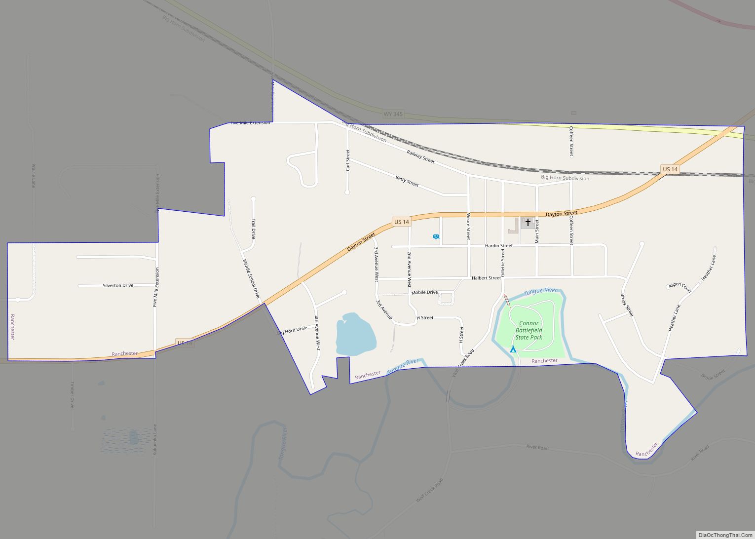
- U.S. Highway 14
- U.S. Highway 16
- U.S. Highway 87
- Wyoming Highway 330
- Wyoming Highway 331
- Wyoming Highway 332
- Wyoming Highway 334
- Wyoming Highway 335
- Wyoming Highway 336
- Wyoming Highway 337
- Wyoming Highway 338
- Wyoming Highway 339
- Wyoming Highway 341
- Wyoming Highway 342
- Wyoming Highway 343
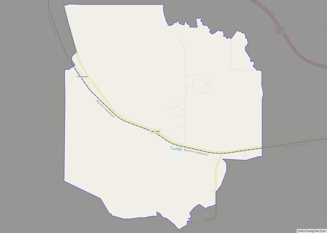
- Wyoming Highway 345
National protected area
- Bighorn National Forest (part)
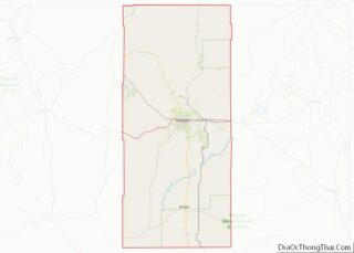
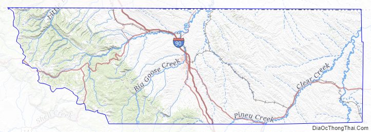
Sheridan County Topographic Map
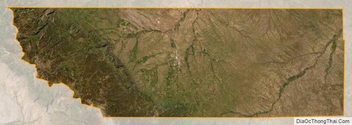
Sheridan County Satellite Map
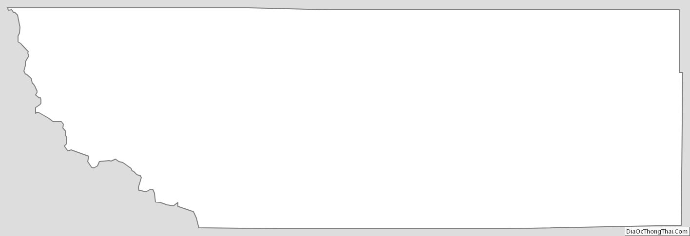
Sheridan County Outline Map