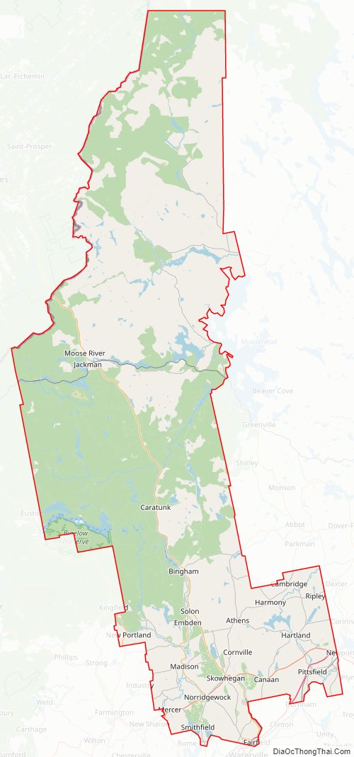
Somerset County is a county in the state of Maine, in the United States. As of the 2020 census, the population was 50,477. Its county seat is Skowhegan.
| Name: | Somerset County |
|---|---|
| FIPS code: | 23-025 |
| State: | Maine |
| Founded: | 1809 |
| Named for: | Somerset County, England |
| Seat: | Skowhegan |
| Largest town: | Skowhegan |
| Total Area: | 4,094 sq mi (10,600 km²) |
| Land Area: | 3,924 sq mi (10,160 km²) |
| Total Population: | 50,477 |
| Population Density: | 12/sq mi (4.8/km²) |
| Time zone: | UTC−5 (Eastern) |
| Summer Time Zone (DST): | UTC−4 (EDT) |
| Website: | somersetcounty-me.org |
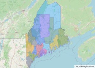
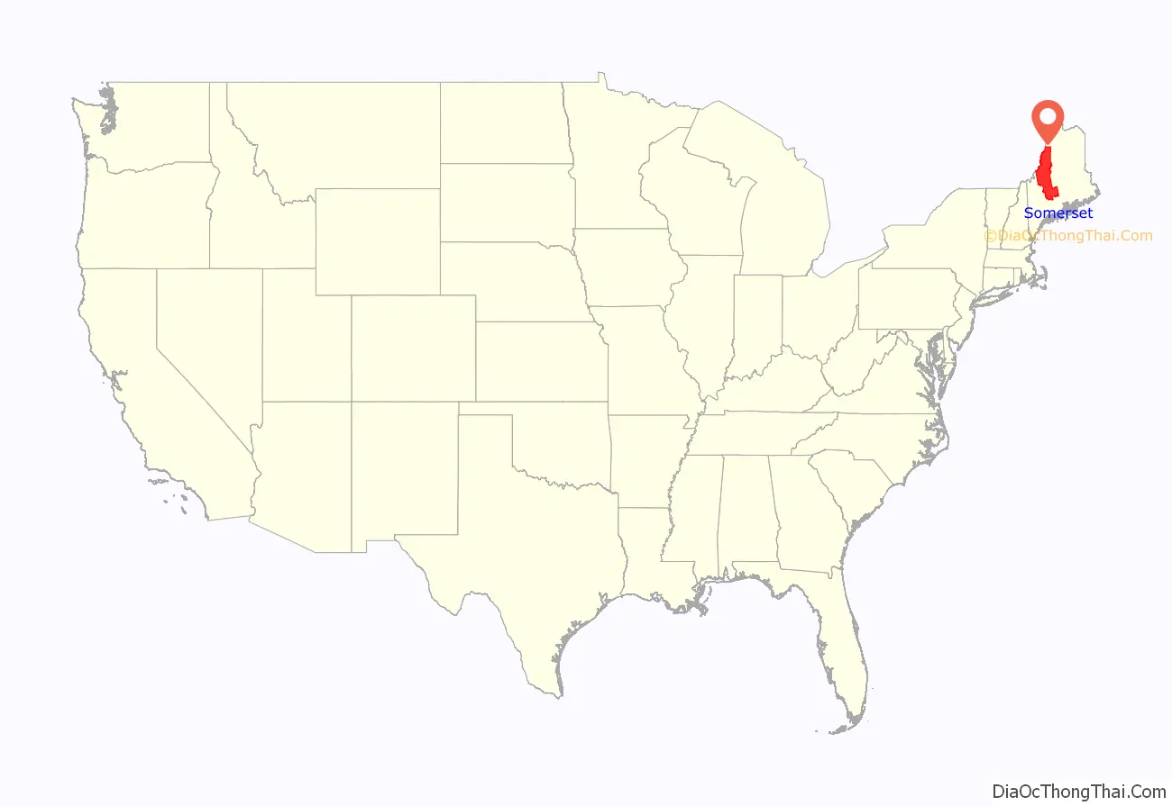
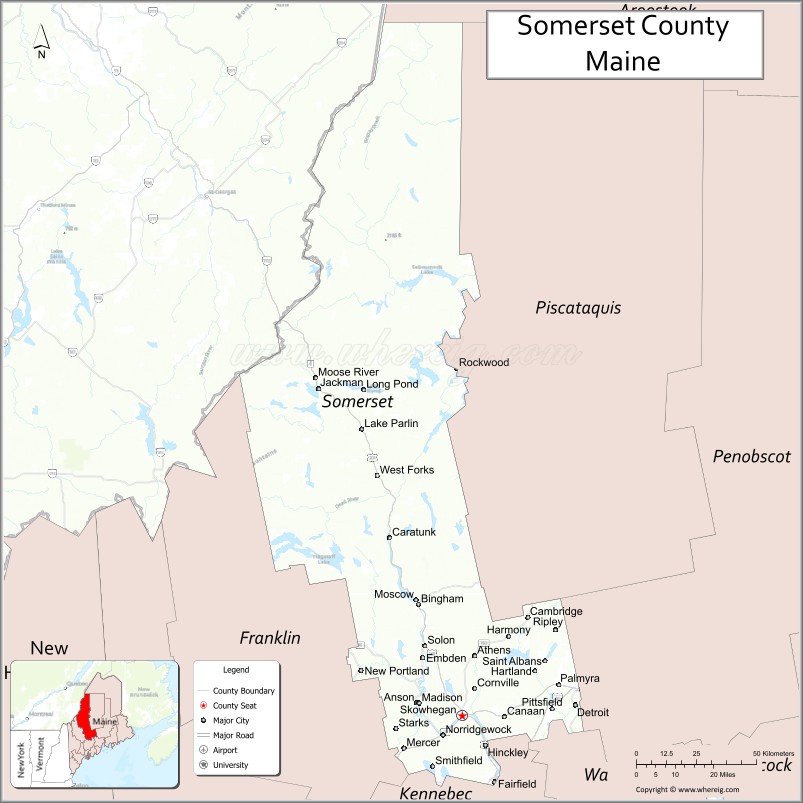
Somerset County location map. Where is Somerset County?
History
Somerset County was established on March 1, 1809 from portions of Kennebec County and was named after Somerset County in England.
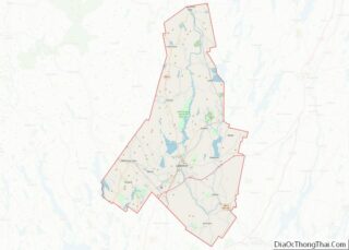
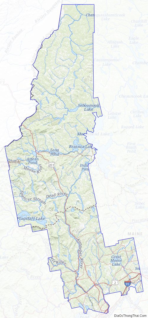
Somerset County Road Map
Geography
According to the U.S. Census Bureau, the county has a total area of 4,094 square miles (10,600 km), of which 3,924 square miles (10,160 km) is land and 169 square miles (440 km) (4.1%) is water. It is the third-largest county in Maine by area.
Mountains
- Boundary Bald Mountain
- Coburn Mountain
- Mount Bigelow
- Moxie Mountain
- Sandy Bay Mountain
Bodies of water
- Carrabassett River
- Flagstaff Lake
- Kennebec River
- Moose River
- Moxie Falls
Major highways
- Maine State Route 6
- Maine State Route 8
- Maine State Route 11
- Maine State Route 15
- Maine State Route 16
- Maine State Route 27
- Maine State Route 100
- Maine State Route 137
- U.S. Route 201
- Armstrong-Jackman Border Crossing
- U.S. Route 201A
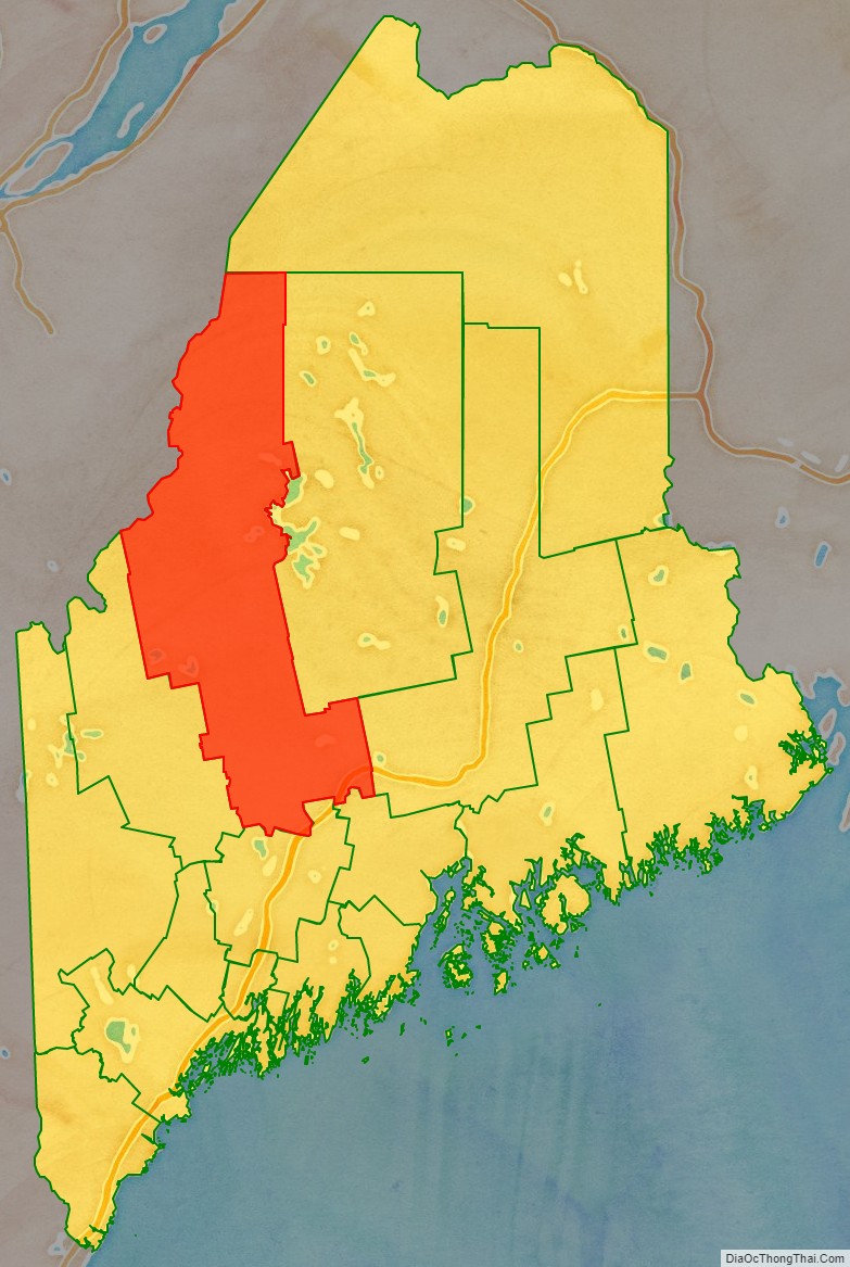
Adjacent counties and municipalities
- Aroostook County – north
- Penobscot County – east
- Piscataquis County – east
- Waldo County – southeast
- Kennebec County – south
- Franklin County – southwest
- Le Granit Regional County Municipality, Quebec – west
- Beauce-Sartigan Regional County Municipality, Quebec – west
- Les Etchemins Regional County Municipality, Quebec – northwest
- Montmagny Regional County Municipality, Quebec – northwest
Somerset County is one of few counties in the United States to border ten counties and county equivalents.
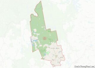
Somerset County Topographic Map
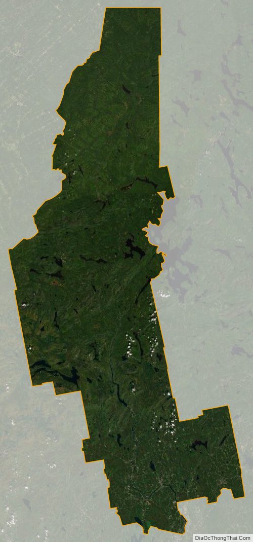
Somerset County Satellite Map
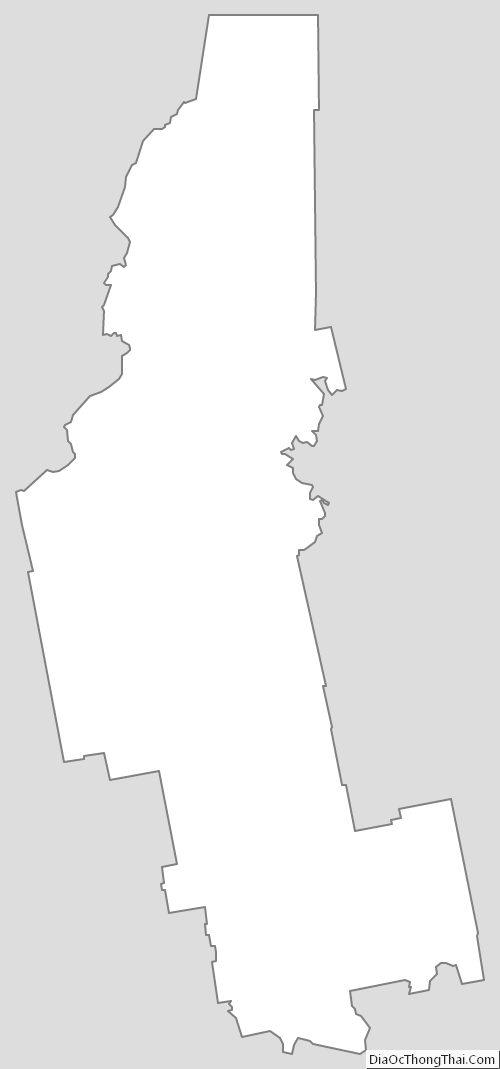
Somerset County Outline Map