Sunflower County is a county located in the U.S. state of Mississippi. As of the 2020 census, the population was 25,971. Its largest city and county seat is Indianola.
Sunflower County comprises the Indianola, MS Micropolitan Statistical Area, which is included in the Cleveland-Indianola, MS Combined Statistical Area. It is located in the Mississippi Delta region.
Mississippi State Penitentiary (Parchman Farm) is located in Sunflower County.
| Name: | Sunflower County |
|---|---|
| FIPS code: | 28-133 |
| State: | Mississippi |
| Founded: | 1844 |
| Named for: | Sunflower River |
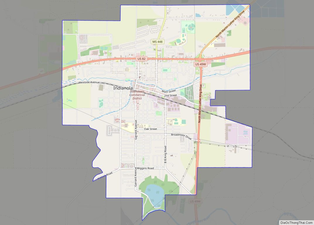
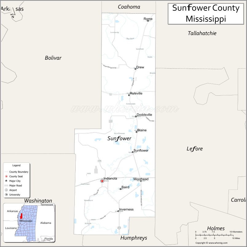
| Seat: | Indianola |
| Largest city: | Indianola |
| Total Area: | 707 sq mi (1,830 km²) |
| Land Area: | 698 sq mi (1,810 km²) |
| Total Population: | 25,971 |
| Population Density: | 37/sq mi (14/km²) |
| Time zone: | UTC−6 (Central) |
| Summer Time Zone (DST): | UTC−5 (CDT) |
| Website: | www.sunflowercounty.ms.gov/Pages/Default.aspx |
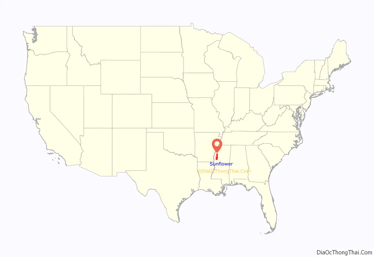
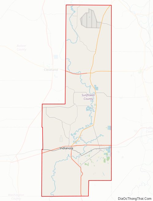
Sunflower County location map. Where is Sunflower County?
History
Sunflower County was created in 1844. The land mass encompassed most of Sunflower and Leflore Counties as we know them today. The first seat of government was Clayton, located near Fort Pemberton. Later the county seat was moved to McNutt, also in the Leflore County of today. When Sunflower and Leflore Counties were separated in 1871, the new county seat for Sunflower County was moved to Johnsonville. This village was located where the north end of Mound Bayou empties into the Sunflower River. In 1882 the county seat was moved to Eureka, which was later renamed Indianola.
The Boyer Cemetery, located in Boyer, goes back to the early days of Sunflower County.
After the U.S. Civil War, across several decades African Americans migrated to Sunflower County to work in the Mississippi Delta. In 1870, 3,243 black people lived in Sunflower County. This increased to 12,070 in 1900, making up 75% of the residents in Sunflower County. Between 1900 and 1920, the black population almost tripled.
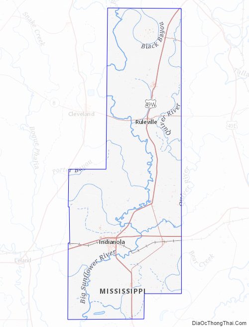
Sunflower County Road Map
Geography
According to the U.S. Census Bureau, the county has a total area of 707 square miles (1,830 km), of which 698 square miles (1,810 km) is land and 9.2 square miles (24 km) (1.3%) is water. Sunflower County is the longest county in Mississippi. The traveling distance from the southern boundary at Caile to its northern boundary at Rome is approximately 71 miles.
The center of the county is about 30 miles (48 km) east of the Mississippi River, about 40 miles (64 km) west of the hill section of Mississippi, 100 miles (160 km) north of Jackson, and about 100 miles (160 km) south of Memphis, Tennessee.
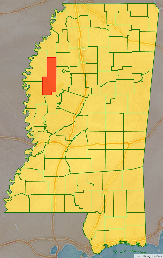
Adjacent counties
- Coahoma County (north)
- Tallahatchie County (northeast)
- Leflore County (east)
- Humphreys County (south)
- Washington County (southwest)
- Bolivar County (northwest)
Sunflower County Topographic Map
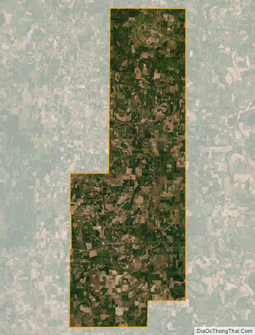
Sunflower County Satellite Map
Sunflower County Outline Map