Jackson, officially the City of Jackson, is the capital of and the most populous city in the U.S. state of Mississippi. The city is also one of two county seats of Hinds County, along with Raymond. The city had a population of 153,701 at the 2020 census, down from 173,514 at the 2010 census. Jackson’s population declined more between 2010 and 2020 (11.42%) than any major city in the United States. Jackson is the anchor for the Jackson metropolitan statistical area, the largest metropolitan area completely within the state and the 10th largest urban area in the Deep South. With a 2020 population estimated around 600,000, metropolitan Jackson is home to over one-fifth of Mississippi’s population. The city sits on the Pearl River and is located in the greater Jackson Prairie region of Mississippi.
Founded in 1821 as the site for a new state capital, the city is named after General Andrew Jackson, who was honored for his role in the Battle of New Orleans during the War of 1812 and later served as U.S. president. Following the nearby Battle of Vicksburg in 1863 during the American Civil War, Union forces under the command of General William Tecumseh Sherman began the siege of Jackson and the city was subsequently burned.
During the 1920s, Jackson surpassed Meridian to become the most populous city in the state following a speculative natural gas boom in the region. The current slogan for the city is “The City with Soul”. It has had numerous musicians prominent in blues, gospel, folk, and jazz. The city is located in the deep south halfway between Memphis and New Orleans on Interstate 55 and Dallas and Atlanta on Interstate 20. Being at this location has given the city the nickname the “crossroads of the south”.
The city has a number of museums and cultural institutions, including the Mississippi Children’s Museum, Mississippi Museum of Natural Science, Mississippi Civil Rights Museum, Mississippi Museum of Art, Old Capital Museum, Museum of Mississippi History. Other notable locations are the Mississippi Coliseum and the Mississippi Veterans Memorial Stadium, home of the Jackson State Tigers Football Team.
The Jackson metropolitan statistical area is the state’s second largest metropolitan area overall, due to four counties in northern Mississippi being part of the Memphis, Tennessee metropolitan area. In 2020, the Jackson metropolitan area held a GDP of 30 billion dollars, accounting for 29% of the state’s total GDP of 104.1 billion dollars.
| Name: | Jackson city |
|---|---|
| LSAD Code: | 25 |
| LSAD Description: | city (suffix) |
| State: | Mississippi |
| County: | Hinds County, Madison County, Rankin County |
| Incorporated: | 1822 |
| Elevation: | 279 ft (85 m) |
| Land Area: | 111.72 sq mi (289.34 km²) |
| Water Area: | 2.14 sq mi (5.53 km²) |
| Population Density: | 1,375.82/sq mi (531.21/km²) |
| ZIP code: | 39200-39299 |
| FIPS code: | 2836000 |
| GNISfeature ID: | 0711543 |
| Website: | www.jacksonms.gov |
Online Interactive Map
Click on ![]() to view map in "full screen" mode.
to view map in "full screen" mode.
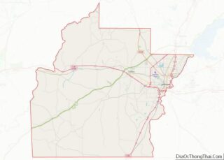
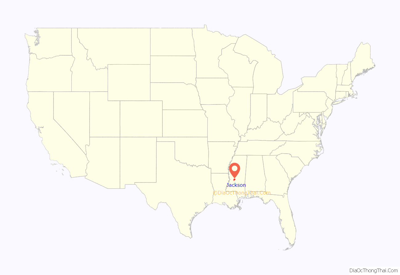
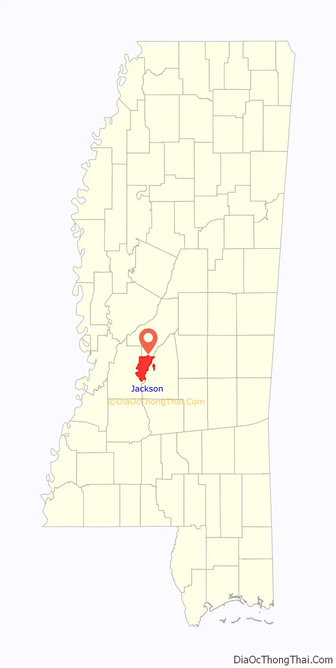
Jackson location map. Where is Jackson city?
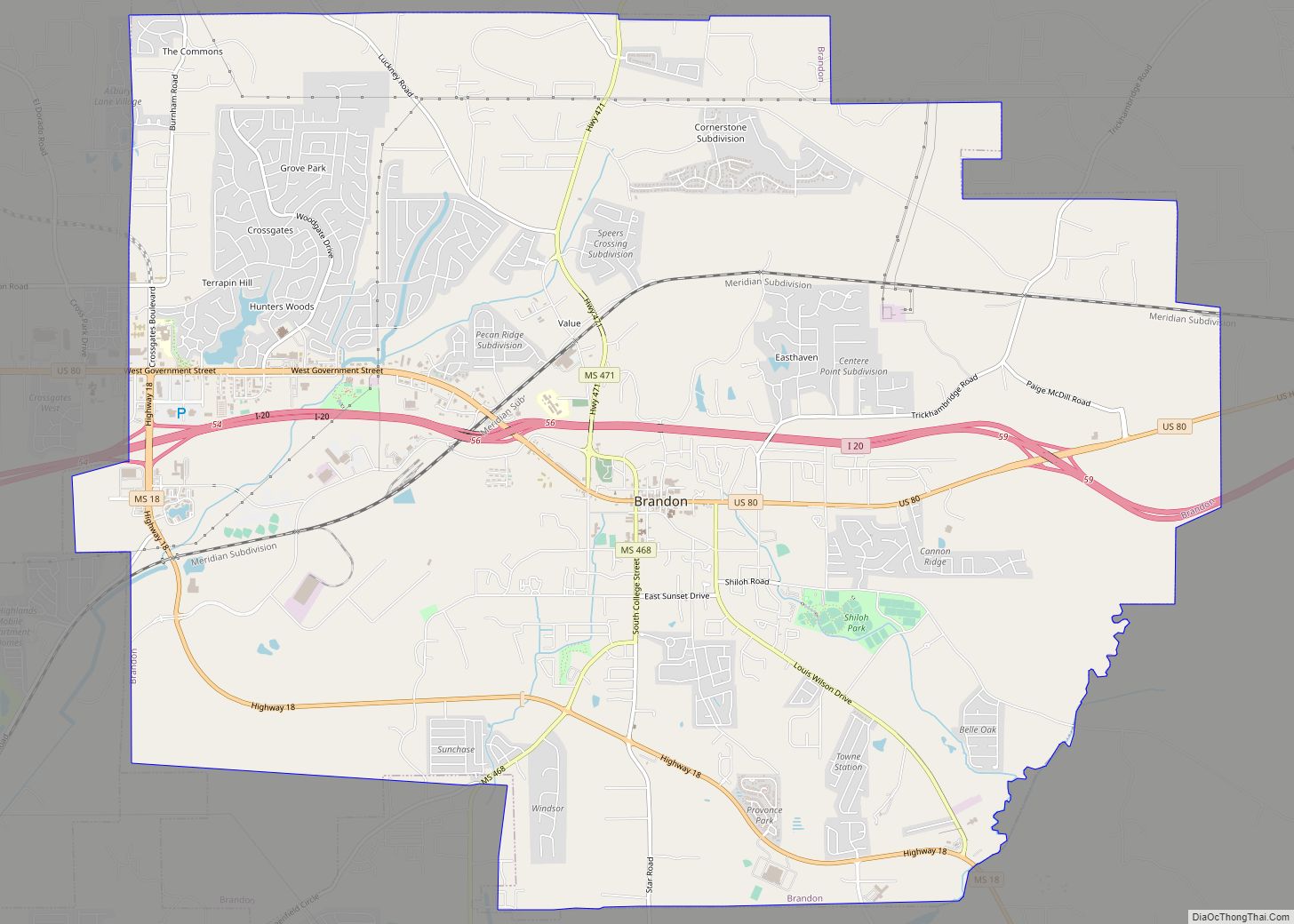
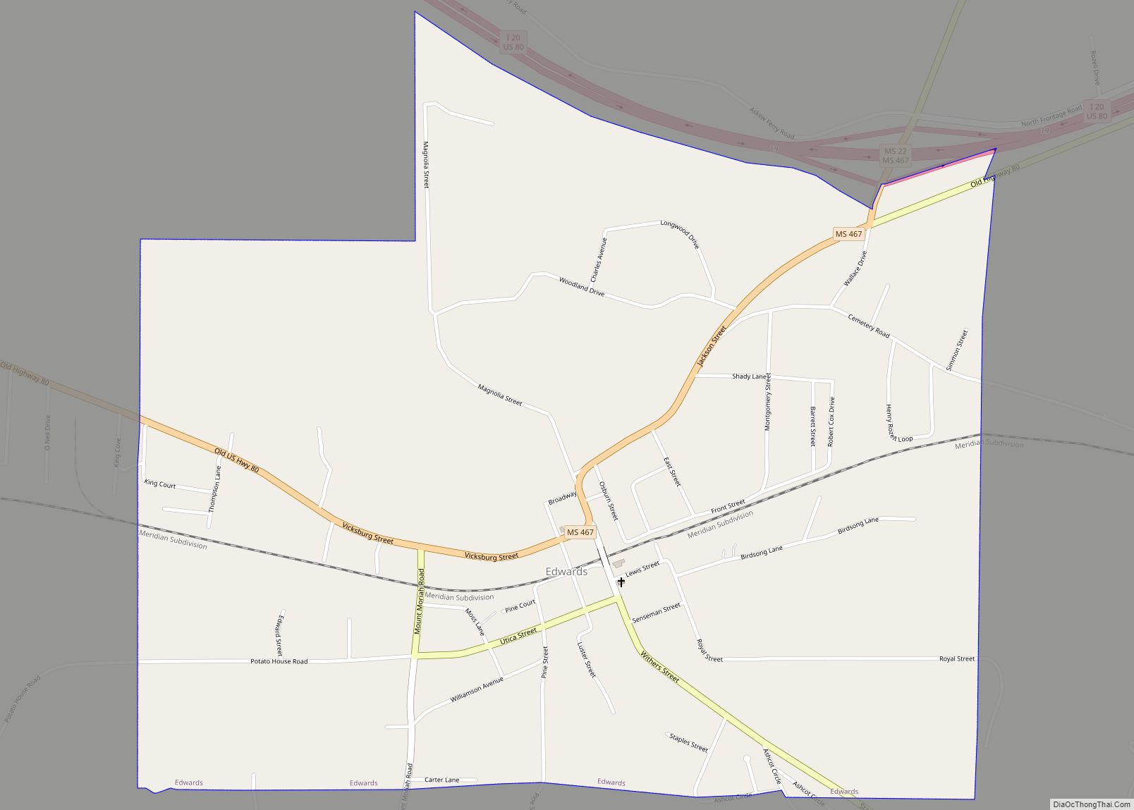
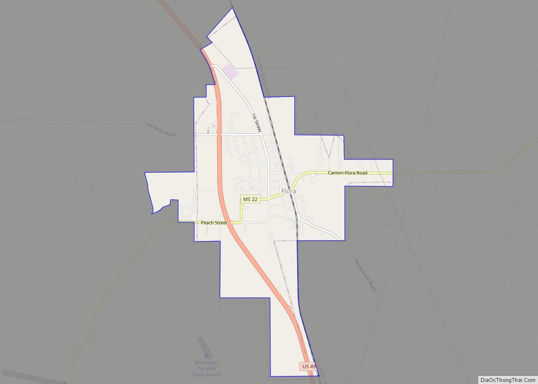
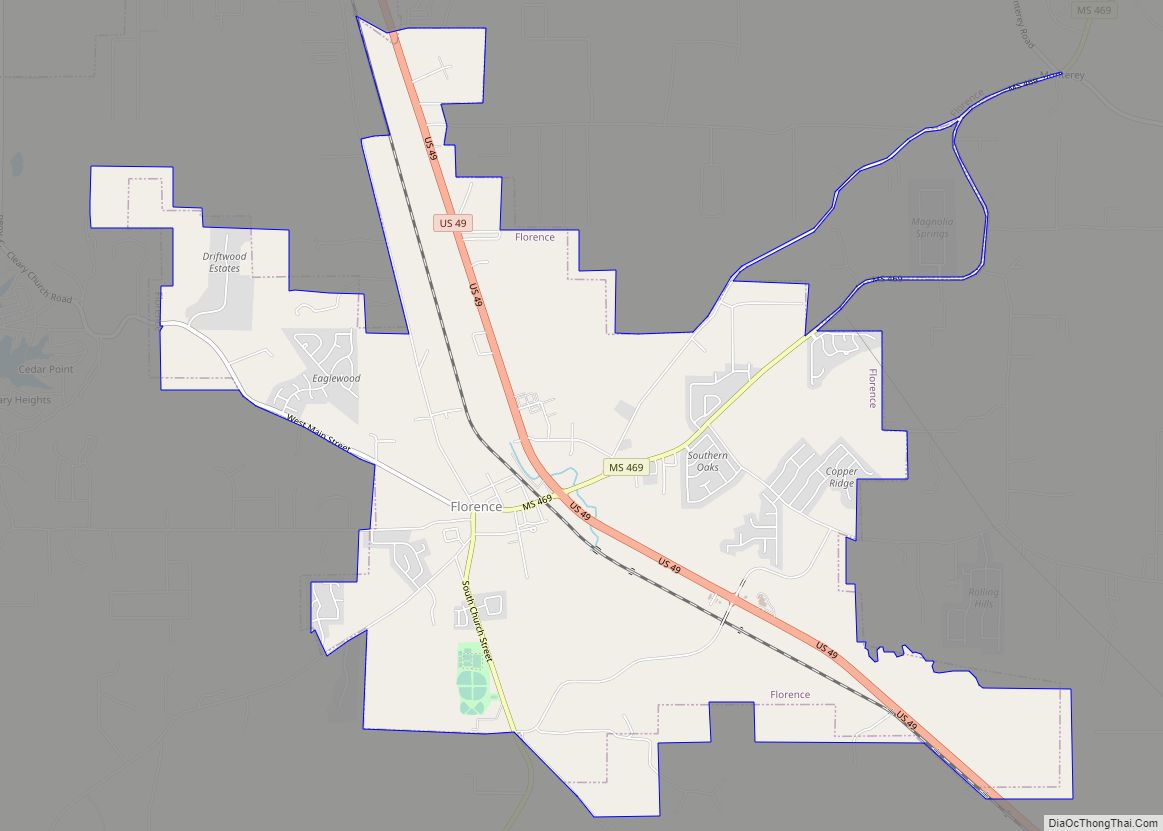
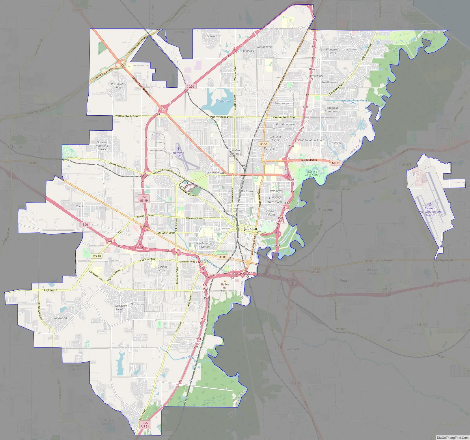
Jackson Road Map
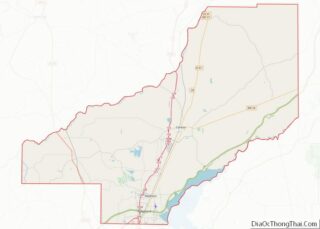
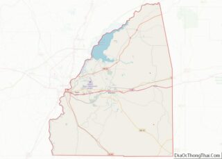
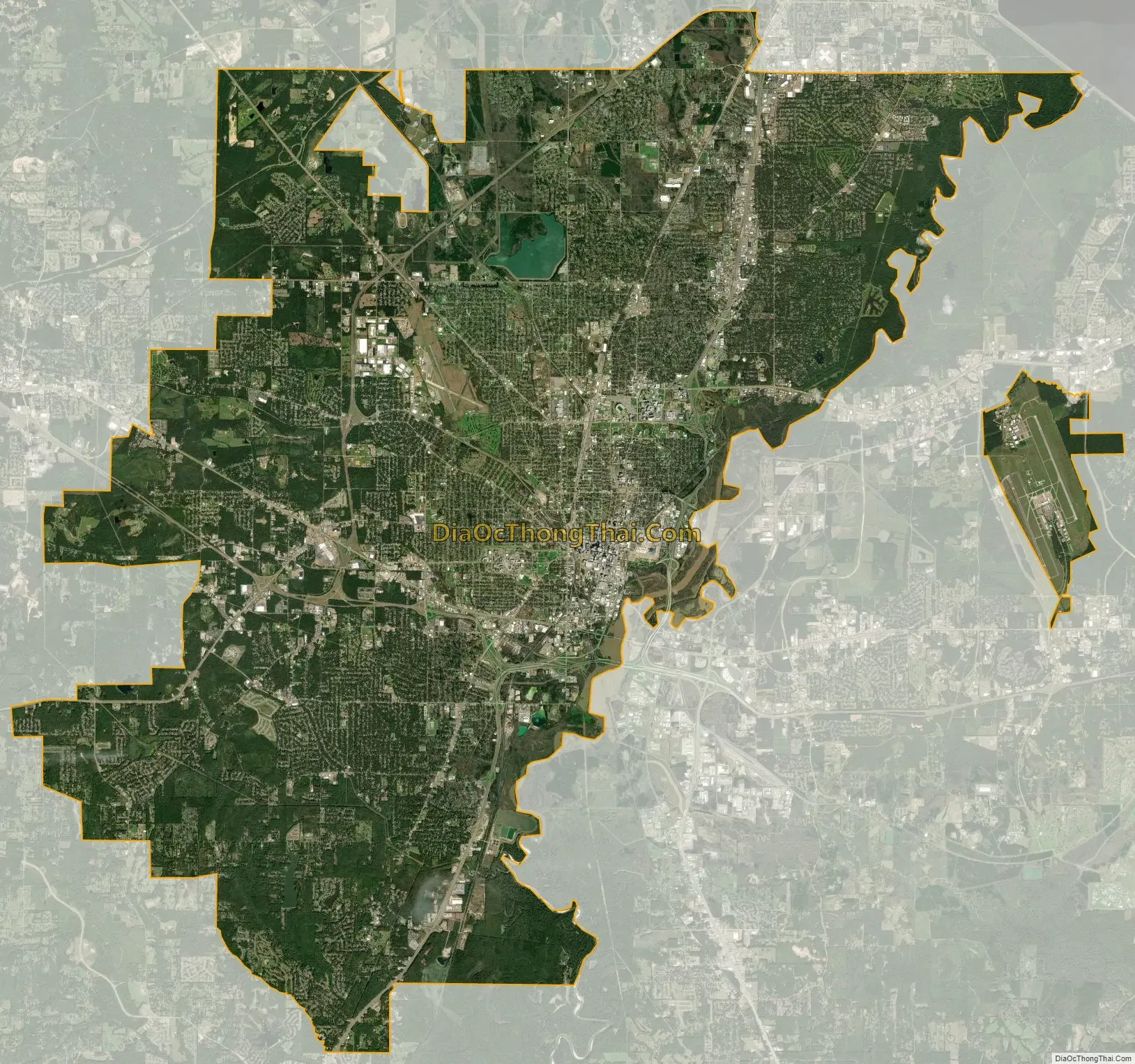
Jackson city Satellite Map
Geography
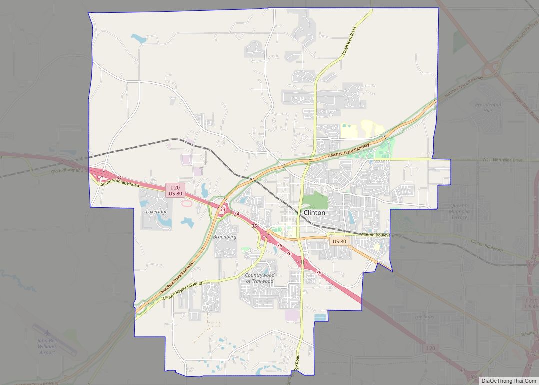
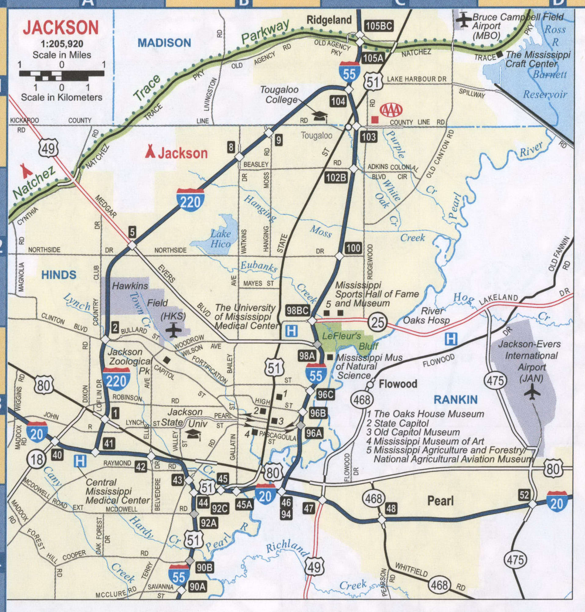
Jackson is located primarily in northeastern Hinds County, with small portions in Madison and Rankin counties. The city of Jackson also includes around 3,000 acres (12.1 km) comprising Jackson-Medgar Evers International Airport in Rankin County and a small portion of Madison County. The Pearl River forms most of the eastern border of the city. A small portion of the city containing Tougaloo College is the portion of Jackson that lies in Madison County, bounded on the west by Interstate 220 and on the east by the U.S. Route 51 and Interstate 55. In the 2010 census, only 622 of the city’s residents lived in Madison County, and only 1 lived within the city limits in Rankin County. The city is bordered to the north by Ridgeland in Madison County, to the northeast by Ross Barnett Reservoir on the Pearl River, to the east by Flowood and Richland in Rankin County, to the south by Byram in Hinds County, and to the west by Clinton in Hinds County.
According to the United States Census Bureau, the city has a total area of 113.2 square miles (293.3 km), of which 111.0 square miles (287.6 km) are land and 2.2 square miles (5.7 km), or 1.94% of the total, are water.
Cityscape
Downtown Jackson is situated directly on the banks of the Pearl River. The downtown district has direct connections to both Interstate 55 via Pearl Street and Pasagoula Street and Interstate 20 via State Street (US 51). Much of the downtown was constructed before the 1980s and only small additions to the skyline have been made since then.
Major highways
- Interstate 55
- Interstate 20
- Interstate 220
- US 51
- US 49
- US 80
Geology
For the most part, Jackson is built on acidic, variably drained silt loam soil. Loess forms the topsoil in western sections, where the Loring soil series is common. The Tippo series, also a silt loam, is found in the central flood plain. Farther east, common soil series include Guyton silt loam, Providence silt loam and Smithdale fine sandy loam.
Jackson sits atop the extinct Jackson Volcano, located 2,900 feet (880 m) underground. It is the only capital city in the United States to have this feature. The buried peak of the volcano is located directly below the Mississippi Coliseum. The municipality is drained on the west by tributaries of the Big Black River and on the east by the Pearl River, which is 150 feet (46 m) higher than the Big Black near Canton. The artesian groundwater flow is not as extensive in Jackson for this reason. The first large-scale well was drilled in the city in 1896, and the city water supply has relied on surface water resources.
Climate
Jackson is located in the humid subtropical climate zone (Köppen Cfa). Rain occurs throughout the year, though the winter and spring are the wettest seasons, while September and October are usually the driest months. Snow is rare, and accumulation very seldom lasts more than a day. Average annual precipitation is 57.35 inches (1,457 mm), see climate table. Much of Jackson’s rainfall occurs during thunderstorms. Thunder is heard on roughly 70 days each year. Jackson lies in a region prone to severe thunderstorms which can produce large hail, damaging winds, and tornadoes. Among the most notable tornado events was the F5 Candlestick Park tornado on March 3, 1966, which destroyed the shopping center of the same name and surrounding businesses and residential areas, killing 19 in South Jackson.
The record low temperature is −5 °F (−21 °C), set on January 27, 1940, and the record high is 107 °F (42 °C), last recorded August 30, 2000.
See also
Map of Mississippi State and its subdivision:- Adams
- Alcorn
- Amite
- Attala
- Benton
- Bolivar
- Calhoun
- Carroll
- Chickasaw
- Choctaw
- Claiborne
- Clarke
- Clay
- Coahoma
- Copiah
- Covington
- Desoto
- Forrest
- Franklin
- George
- Greene
- Grenada
- Hancock
- Harrison
- Hinds
- Holmes
- Humphreys
- Issaquena
- Itawamba
- Jackson
- Jasper
- Jefferson
- Jefferson Davis
- Jones
- Kemper
- Lafayette
- Lamar
- Lauderdale
- Lawrence
- Leake
- Lee
- Leflore
- Lincoln
- Lowndes
- Madison
- Marion
- Marshall
- Monroe
- Montgomery
- Neshoba
- Newton
- Noxubee
- Oktibbeha
- Panola
- Pearl River
- Perry
- Pike
- Pontotoc
- Prentiss
- Quitman
- Rankin
- Scott
- Sharkey
- Simpson
- Smith
- Stone
- Sunflower
- Tallahatchie
- Tate
- Tippah
- Tishomingo
- Tunica
- Union
- Walthall
- Warren
- Washington
- Wayne
- Webster
- Wilkinson
- Winston
- Yalobusha
- Yazoo
- Alabama
- Alaska
- Arizona
- Arkansas
- California
- Colorado
- Connecticut
- Delaware
- District of Columbia
- Florida
- Georgia
- Hawaii
- Idaho
- Illinois
- Indiana
- Iowa
- Kansas
- Kentucky
- Louisiana
- Maine
- Maryland
- Massachusetts
- Michigan
- Minnesota
- Mississippi
- Missouri
- Montana
- Nebraska
- Nevada
- New Hampshire
- New Jersey
- New Mexico
- New York
- North Carolina
- North Dakota
- Ohio
- Oklahoma
- Oregon
- Pennsylvania
- Rhode Island
- South Carolina
- South Dakota
- Tennessee
- Texas
- Utah
- Vermont
- Virginia
- Washington
- West Virginia
- Wisconsin
- Wyoming