Indianola is a U.S. city in Sunflower County, Mississippi, in the Mississippi Delta. The population was 10,683 at the 2010 census. It is the county seat of Sunflower County.
| Name: | Indianola city |
|---|---|
| LSAD Code: | 25 |
| LSAD Description: | city (suffix) |
| State: | Mississippi |
| County: | Sunflower County |
| Total Area: | 8.66 sq mi (22.42 km²) |
| Land Area: | 8.57 sq mi (22.20 km²) |
| Water Area: | 0.09 sq mi (0.23 km²) |
| Total Population: | 9,646 |
| Population Density: | 1,125.42/sq mi (434.53/km²) |
| ZIP code: | 38751 |
| FIPS code: | 2834740 |
| Website: | www.indianola.ms.gov |
Online Interactive Map
Click on ![]() to view map in "full screen" mode.
to view map in "full screen" mode.
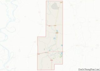
Indianola location map. Where is Indianola city?


History
In 1891, Minnie M. Cox was appointed postmaster of Indianola, becoming the first black female postmaster in the United States. Her rank was raised from fourth class to third class in 1900, and she was appointed to a full four-year term. Cox’s position was one of the most respected and lucrative public posts in Indianola, as it served approximately 3,000 patrons and paid $1,100 annually, then a large sum. White resentment to Cox’s prestigious position began to grow, and in 1902 some white residents in Indianola drew up a petition requesting Cox’s resignation. James K. Vardaman, editor of The Greenwood Commonwealth and a white supremacist, began delivering speeches reproaching the people of Indianola for “tolerating a negro wench as a postmaster.”
Racial tensions grew, and threats of physical harm led Cox to submit her resignation to take effect on January 1, 1903. The incident attracted national attention, and President Theodore Roosevelt refused to accept her resignation, feeling Cox had been wronged, and the authority of the federal government was being compromised. “Roosevelt stood resolute. Unless Cox’s detractors could prove a reason for her dismissal other than the color of her skin, she would remain the Indianola postmistress.”
Roosevelt closed Indianola’s post office on January 2, 1903, and rerouted mail to Greenville; Cox continued to receive her salary. The same month, the United States Senate debated the Indianola postal event for four hours, and Cox left Indianola for her own safety and did not return. In February 1904, the post office was reopened but was demoted in rank from third class to fourth class.
In July 1954, two months after the Supreme Court of the United States announced its unanimous decision in Brown v. Board of Education, ruling that school segregation was unconstitutional, the local plantation manager Robert B. Patterson met with a group of like-minded people in a private home in Indianola to form the White Citizens’ Council.
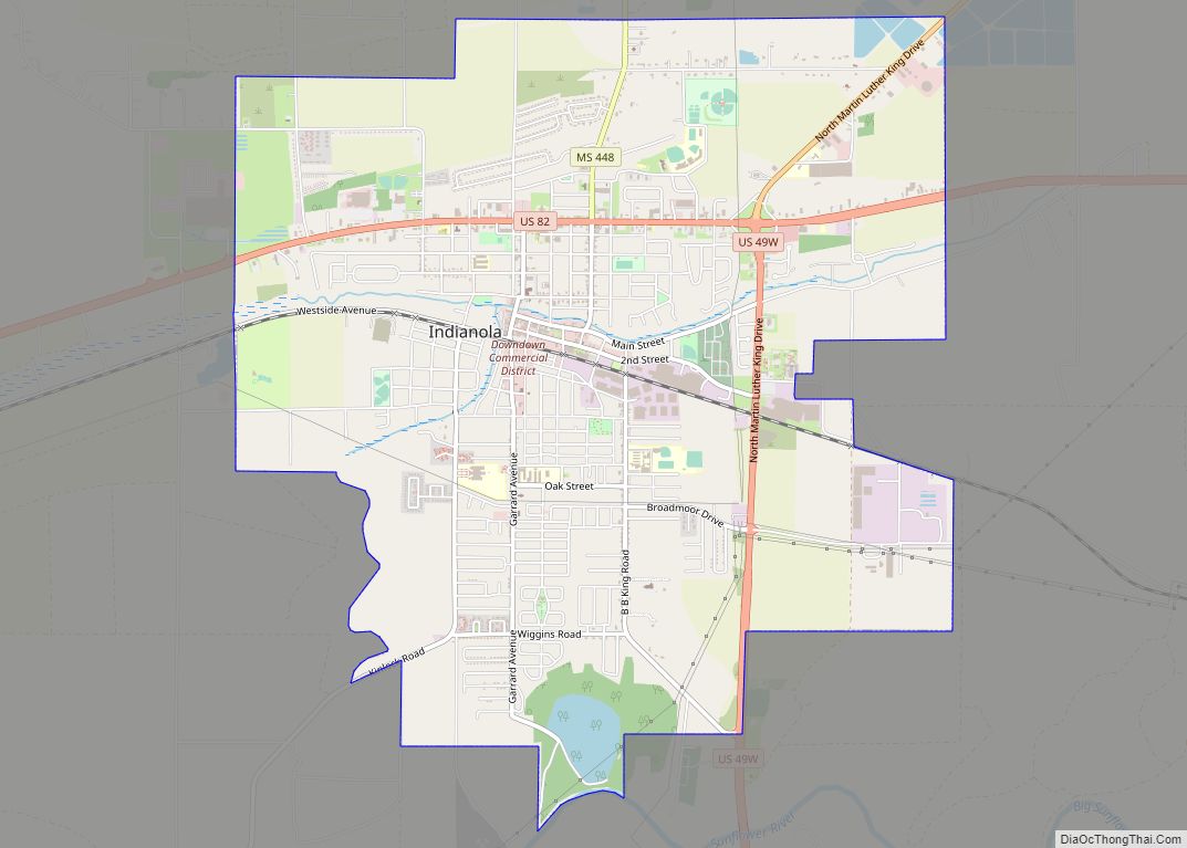
Indianola Road Map
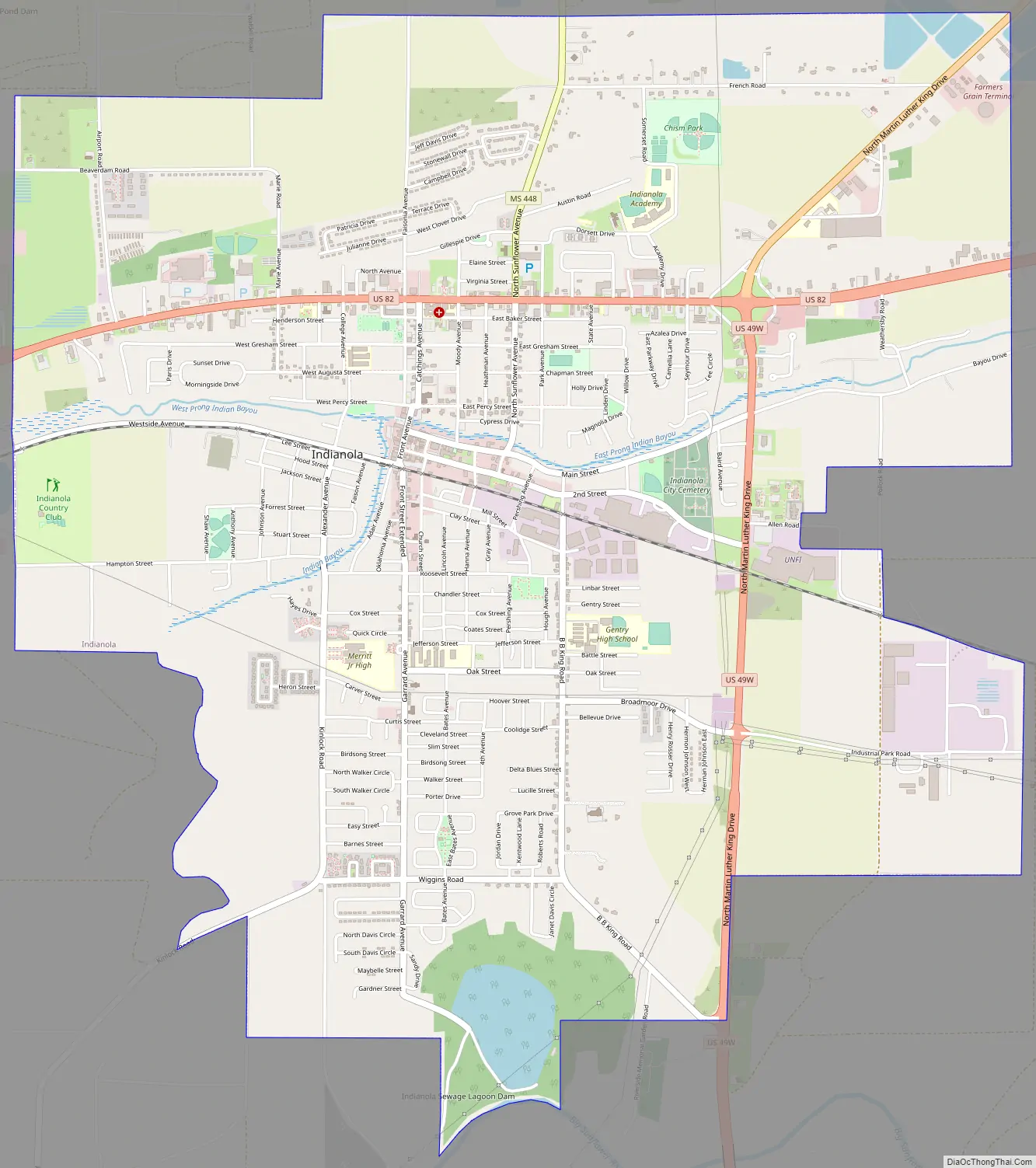
Indianola city Satellite Map

Geography
Indianola is 30 miles (48 km) west of Greenwood.
See also
Map of Mississippi State and its subdivision:- Adams
- Alcorn
- Amite
- Attala
- Benton
- Bolivar
- Calhoun
- Carroll
- Chickasaw
- Choctaw
- Claiborne
- Clarke
- Clay
- Coahoma
- Copiah
- Covington
- Desoto
- Forrest
- Franklin
- George
- Greene
- Grenada
- Hancock
- Harrison
- Hinds
- Holmes
- Humphreys
- Issaquena
- Itawamba
- Jackson
- Jasper
- Jefferson
- Jefferson Davis
- Jones
- Kemper
- Lafayette
- Lamar
- Lauderdale
- Lawrence
- Leake
- Lee
- Leflore
- Lincoln
- Lowndes
- Madison
- Marion
- Marshall
- Monroe
- Montgomery
- Neshoba
- Newton
- Noxubee
- Oktibbeha
- Panola
- Pearl River
- Perry
- Pike
- Pontotoc
- Prentiss
- Quitman
- Rankin
- Scott
- Sharkey
- Simpson
- Smith
- Stone
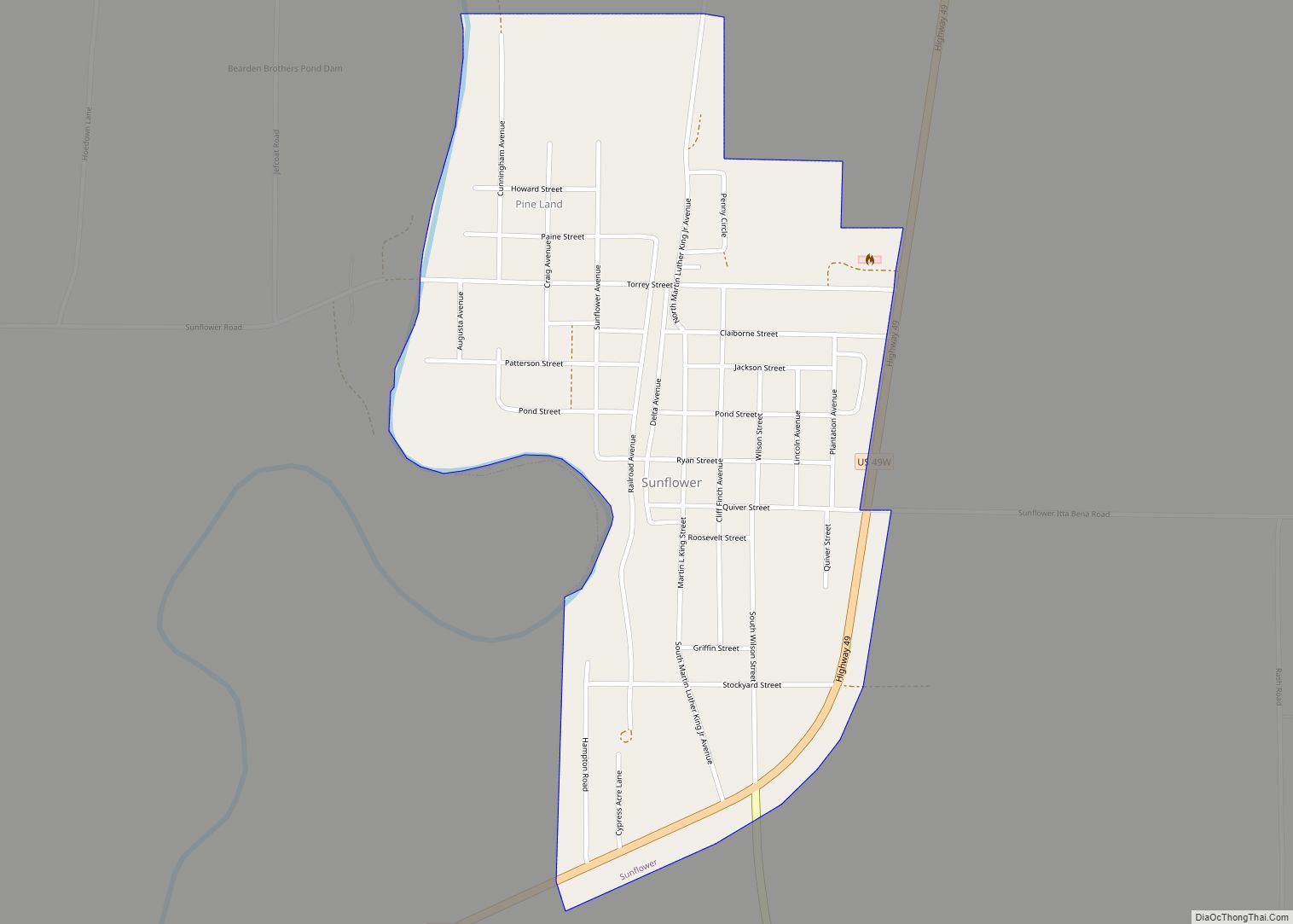
- Sunflower
- Tallahatchie
- Tate
- Tippah
- Tishomingo
- Tunica
- Union
- Walthall
- Warren
- Washington
- Wayne
- Webster
- Wilkinson
- Winston
- Yalobusha
- Yazoo
- Alabama
- Alaska
- Arizona
- Arkansas
- California
- Colorado
- Connecticut
- Delaware
- District of Columbia
- Florida
- Georgia
- Hawaii
- Idaho
- Illinois
- Indiana
- Iowa
- Kansas
- Kentucky
- Louisiana
- Maine
- Maryland
- Massachusetts
- Michigan
- Minnesota
- Mississippi
- Missouri
- Montana
- Nebraska
- Nevada
- New Hampshire
- New Jersey
- New Mexico
- New York
- North Carolina
- North Dakota
- Ohio
- Oklahoma
- Oregon
- Pennsylvania
- Rhode Island
- South Carolina
- South Dakota
- Tennessee
- Texas
- Utah
- Vermont
- Virginia
- Washington
- West Virginia
- Wisconsin
- Wyoming