Washington County is a county located in the southwestern part of the U.S. state of Alabama. As of the 2020 census, the population was 15,388. The county seat is Chatom. The county was named in honor of George Washington, the first President of the United States. It is a dry county, with the exception of Chatom. In September 2018 The United States Office of Management and Budget (OMB) added Washington County to the Mobile, Alabama Metropolitan Statistical Area. It is also part of the larger Mobile-Daphne-Fairhope, AL Combined Statistical Area.
The MOWA Band of Choctaw Indians is the first state-recognized tribe in Alabama. It is based in Washington County, with some members also in Mobile County, Alabama. A total of nine tribes have received state recognition since 1979.
| Name: | Washington County |
|---|---|
| FIPS code: | 01-129 |
| State: | Alabama |
| Founded: | June 4, 1801 |
| Named for: | George Washington |
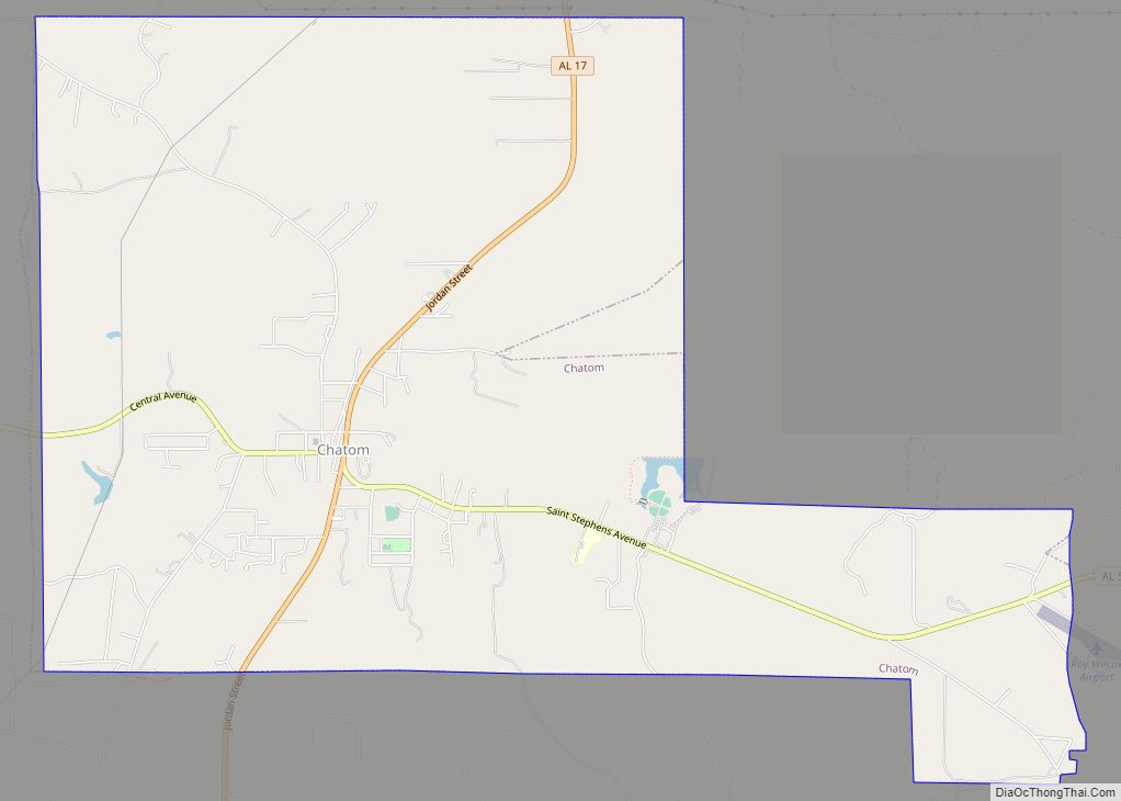
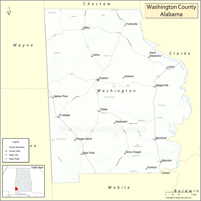
| Seat: | Chatom |
| Largest town: | Chatom |
| Total Area: | 1,089 sq mi (2,820 km²) |
| Land Area: | 1,080 sq mi (2,800 km²) |
| Total Population: | 15,388 |
| Population Density: | 14/sq mi (5.5/km²) |
| Time zone: | UTC−6 (Central) |
| Summer Time Zone (DST): | UTC−5 (CDT) |
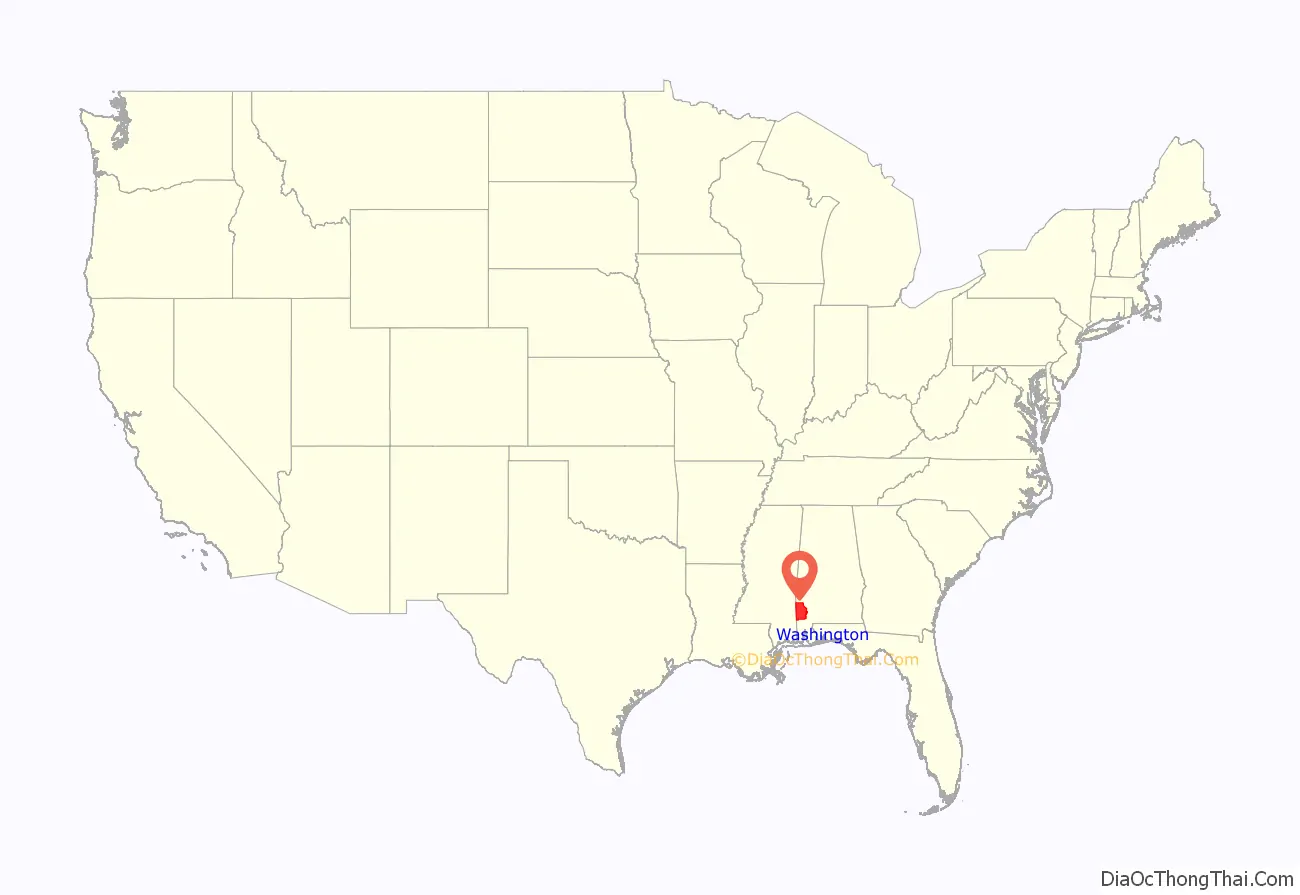
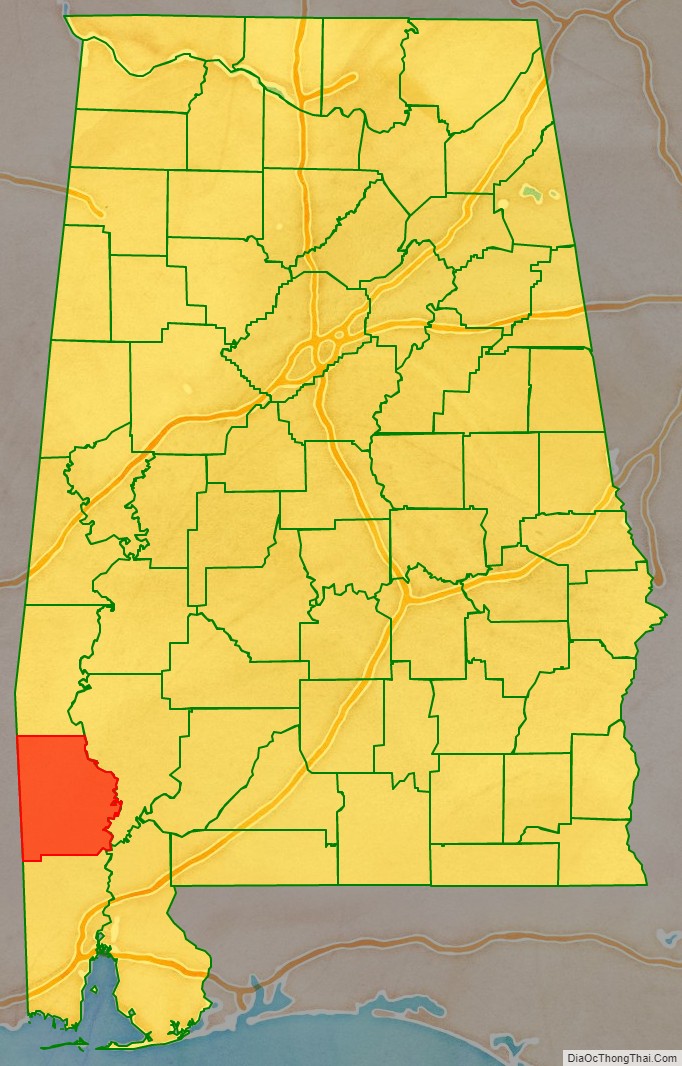
Washington County location map. Where is Washington County?
History
The area of today’s Washington County was long inhabited by various indigenous people. In historic times, European traders encountered first Choctaw, whose territory extended through most of present-day Mississippi, and later Creek Indians, who had moved southwest from Georgia ahead of early European settlers who were encroaching on their land.
Washington County was organized on June 4, 1800, from the Tombigbee District of the Mississippi Territory by proclamation of territorial governor Winthrop Sargent. It was the first county organized in what would later become Alabama, as settlers moved westward after the American Revolutionary War. Washington County is the site of St. Stephens, the first territorial capital of Alabama. In 1807 former U.S. Vice President Aaron Burr was arrested at Wakefield in Washington County, during his flight from being prosecuted for alleged treason (which he was eventually found innocent of).
In the 1830s, the U.S. government removed most of the Choctaw and Creek to Indian Territory (now Oklahoma) west of the Mississippi River. Some members of these tribes stayed behind on their traditional lands in southwest Alabama, taking refuge in the forests and swamps. They were nominally considered state (and U.S.) citizens, but suffered severe racial discrimination.
In the 19th century, the county was largely developed for cotton plantations, with labor supplied by thousands of enslaved African Americans. Many had been transported by slave traders to the Deep South in a forced migration in the early part of the century, as the land was being developed.
During the American Civil War, more than three quarters of the adult white men in the county were serving in the Confederate Army by 1863. In that year, a group of children petitioned the Confederate government to avoid drafting more white men, so they might serve as a home guard militia. The petition claimed the militia was needed to guard against a potential slave uprising, since there were numerous cotton plantations with large numbers of enslaved African Americans. No such uprising occurred.
While the county continued to rely on agriculture into the 20th century, the infestation of the boll weevil destroyed many cotton crops. Mechanization and industrial-scale agriculture reduced the need for labor. Thousands of African Americans left the South in the Great Migration to Northern and Midwestern industrial cities, where they could get better jobs and escape the legal segregation and violence of the South. In the early 20th century industrialists began to harvest and process the pine and other timber in this area of the state.
The Choctaw and Creek Native Americans struggled to maintain their traditional culture, in the face of years during which the state government imposed a binary system of dividing people into white and “all other” people of color (blacks and Indians). Records no longer recognized their identifying as Choctaw, particularly in the period of Jim Crow after the Reconstruction era.
It was not until the 1930s that the Choctaw were able to get Indian schools to support their culture in Mobile and Washington counties, where their people have been concentrated. For a time they were called Cajun, but have no connection to such descendants of Acadians, based largely in Louisiana. The people pressed to gain recognition for their own ethnicity. In 1979 the Alabama legislature officially recognized the MOWA Band of Choctaw Indians. In 1984 it passed legislation to establish a commission to represent Native American interests in the state; through that, a total of nine tribes have received state recognition.
While the timber industry continued to be important to the economy, the county has gradually developed other businesses and industries, particularly petrochemical. Due to damage from Hurricane Frederic in 1979, the county was declared a disaster area that September.
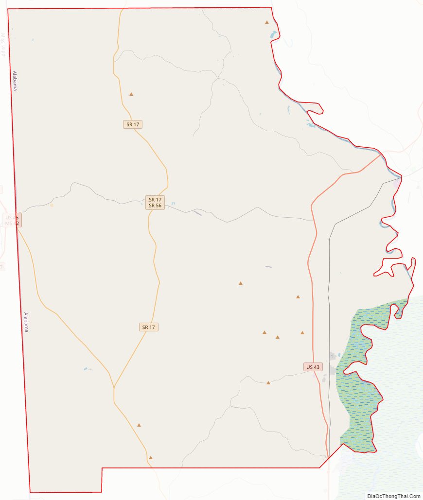
Washington County Road Map
Geography
According to the United States Census Bureau, the county has a total area of 1,089 square miles (2,820 km), of which 1,080 square miles (2,800 km) is land and 8.4 square miles (22 km) (0.8%) is water. This makes Washington County larger than the state of Rhode Island in terms of land area (but not total area). The county is located approximately 60 miles north of the Gulf of Mexico, and exceeds 682,000 acres of land. About 88 percent of the land area is covered by forest and pine plantations.
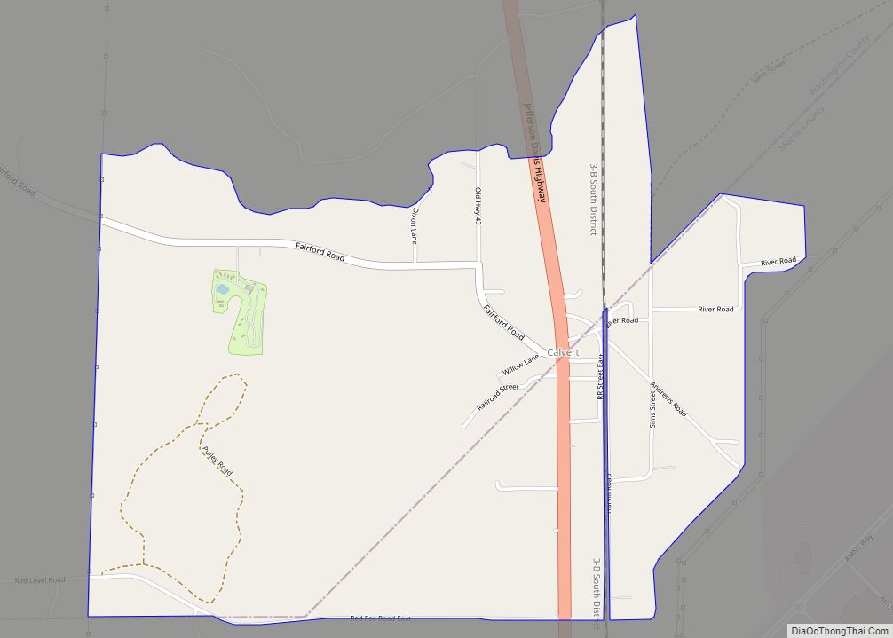
The Tombigbee River borders Washington County to the east. From the southern point of the river, the boundary runs diagonally south-west, bisecting the community of Calvert. From there, the southern boundary runs west, roughly following the 31°08′ N parallel, toward the Mississippi state line, descending due south into Mobile County and forming part of a rectangle that connects with the state line. The western boundary is defined by the Alabama-Mississippi state line (approximately 88°27′ W). The northern boundary runs west from the state line along the 31°41′ N parallel until reaching the Tombigbee River.
Adjacent counties
- Choctaw County (north)
- Clarke County (east)
- Baldwin County (southeast)
- Mobile County (south)
- Greene County, Mississippi (southwest)
- Wayne County, Mississippi (northwest)
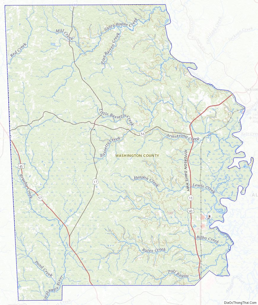
Washington County Topographic Map
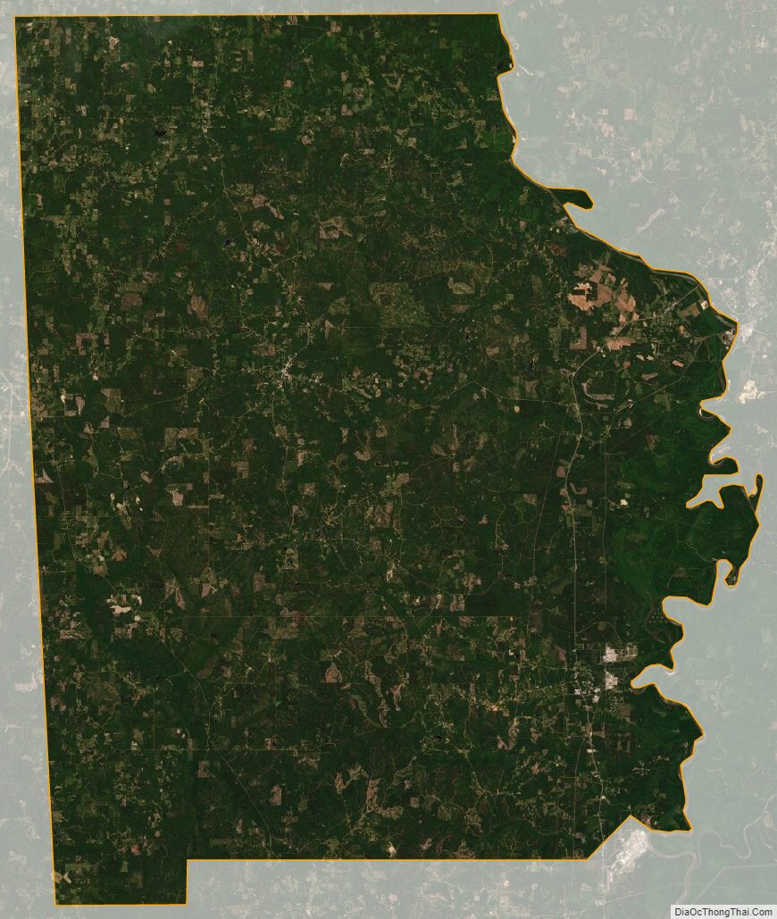
Washington County Satellite Map
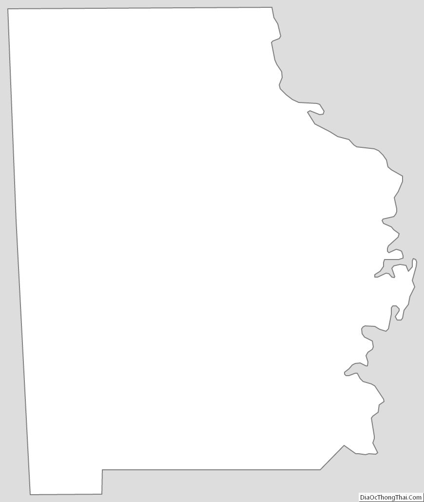
Washington County Outline Map