Bullock County is a county of the U.S. state of Alabama. As of the 2020 census, the population was 10,357. Union Springs was chosen as the county seat in 1867, and presently is the county’s only incorporated city. The county was named for Confederate Army Colonel Edward C. Bullock who was a state senator and outspoken secessionist who died during the American Civil War.
A National Center for Education Statistics report released in January 2009 showed that Bullock County had the highest illiteracy rate in Alabama at 34 percent.
| Name: | Bullock County |
|---|---|
| FIPS code: | 01-011 |
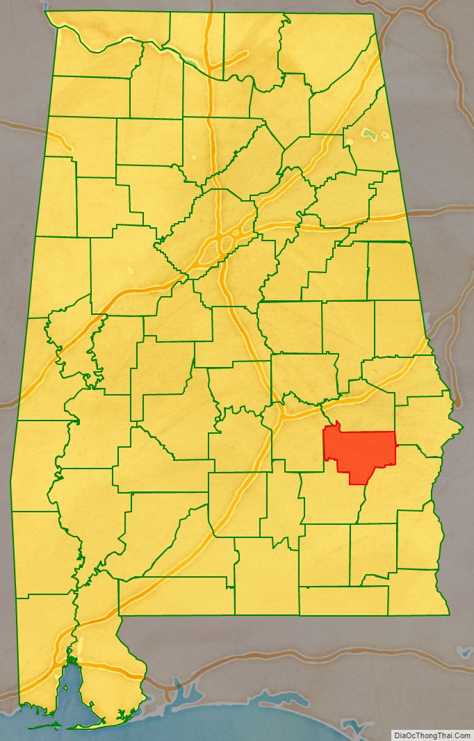
| State: | Alabama |
| Founded: | December 5 (created), 1866 |
| Named for: | Edward Bullock |
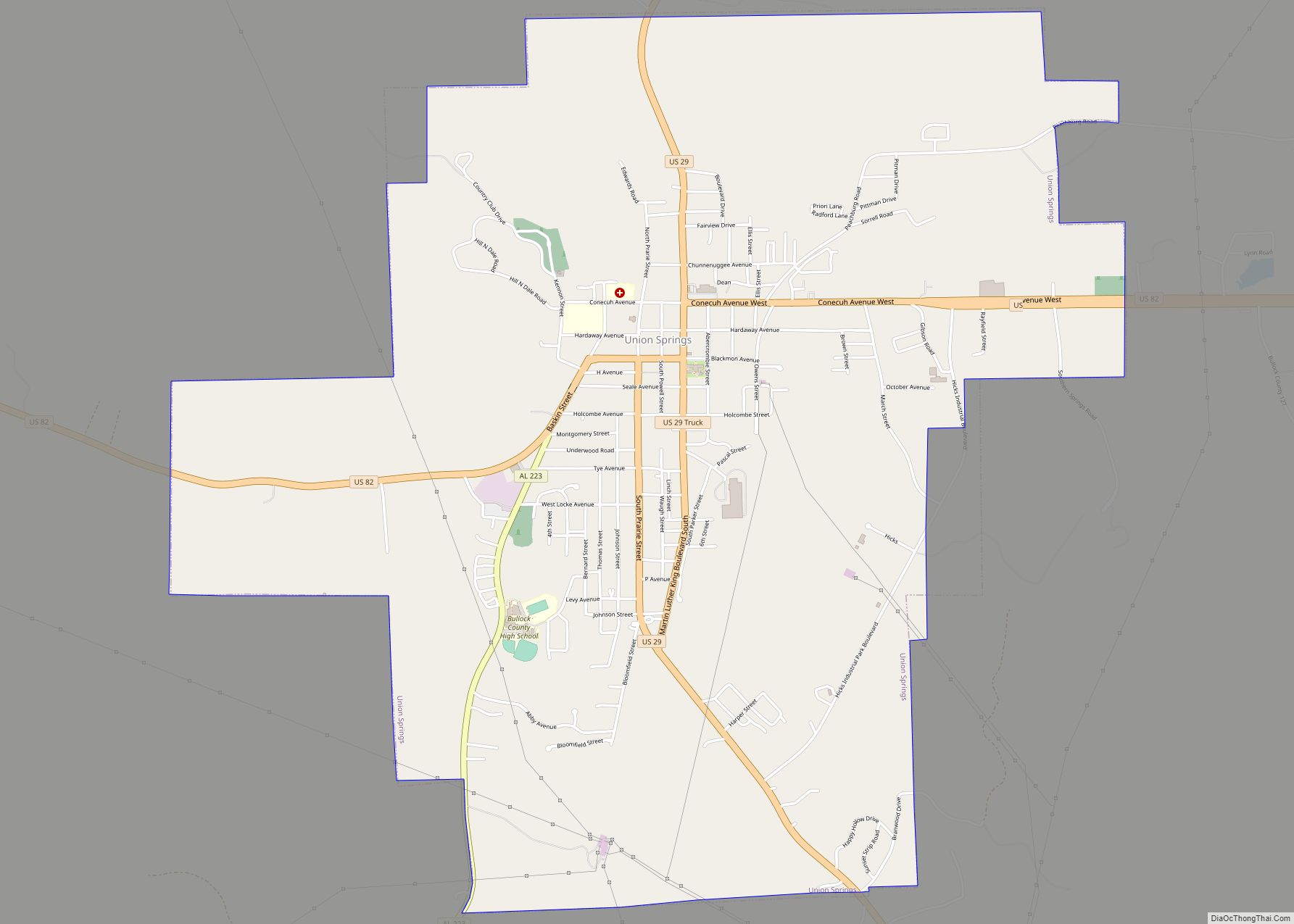
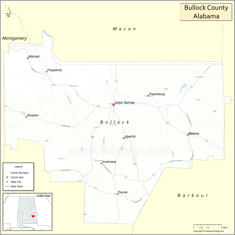
| Seat: | Union Springs |
| Largest city: | Union Springs |
| Total Area: | 625 sq mi (1,620 km²) |
| Land Area: | 623 sq mi (1,610 km²) |
| Total Population: | 10,357 |
| Population Density: | 17/sq mi (6.4/km²) |
| Time zone: | UTC−6 (Central) |
| Summer Time Zone (DST): | UTC−5 (CDT) |
| Website: | bullockcountyalrev.com |
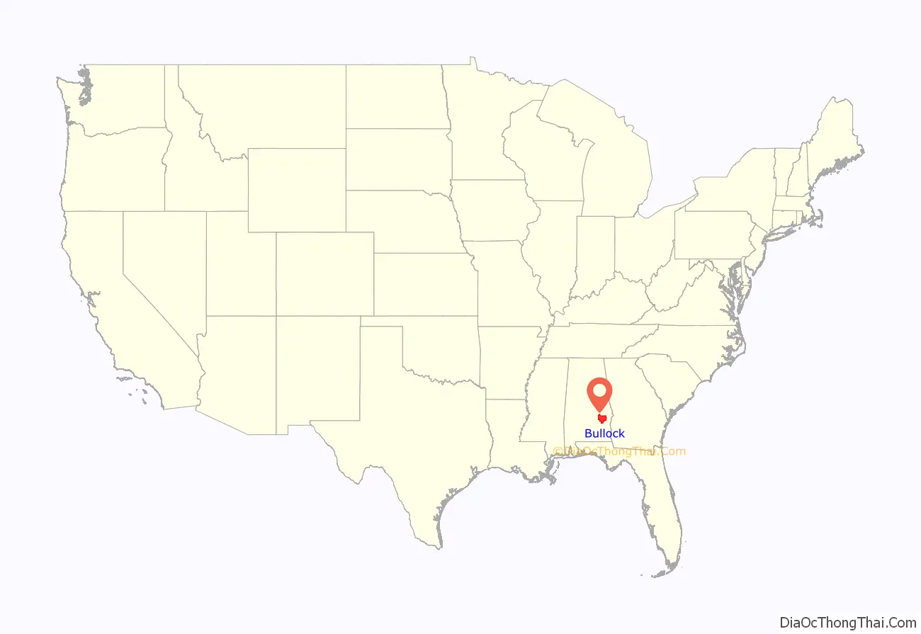
Bullock County location map. Where is Bullock County?
History
Bullock County was established by act of the state legislature dated December 5, 1866, with areas partitioned from Macon, Pike, Montgomery, and Barbour counties. The boundaries were changed in February 1867.
Prior to the arrival of white settlers, the future Bullock County was inhabited by Creek Indians. The Treaty of Fort Jackson (1814) ceded much of Alabama and Georgia to the US government, and the Creeks were removed completely after 1830. From 1818 through the 1830s, white settlers poured into the area, turning the rich soil into cotton-producing plantations and the area into one of the state’s richest.
Bullock County was devastated by the Civil War. Its once-enslaved population (about seventy percent of the total population) had sustained its output, but their emancipation caused a sharp decline in the economy. In the aftermath, Bullock County elected two former slaves to the state legislature, but with end of Reconstruction, the black population were severely restricted and kept down.
By 1877 the boll weevil had migrated into Bullock County cotton fields from Mexico, and the area’s economy was further depressed. A significant portion of the once-cotton-producing area was converted to a site of the Amateur Field Trial competition for bird dogs and a game preserve.
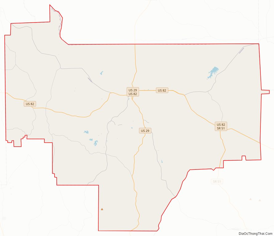
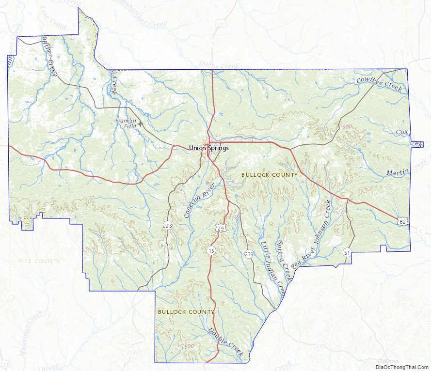
Bullock County Road Map
Geography
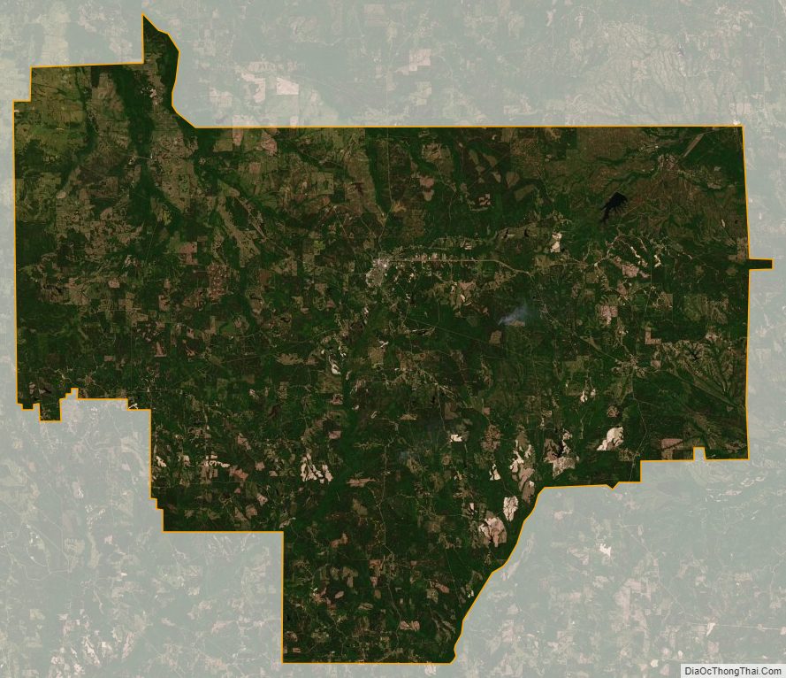
Prior to white settlement, the future Bullock County terrain was completely wooded. It still bears a significant coverage of trees, with the remainder having been cleared for agricultural or urban usage. A range of hills, called Chunnenugga Ridge, bisects the county running east to west. It forms the watershed for the Tallapoosa River on the north, and streams on the south that flow to the Gulf of Mexico, including the Conecuh River, which flows through the extreme west end of Florida to reach the Gulf. The highest point on this ridge (approximately 670 feet/200 meters ASL) lies about 3 miles (4.8 km) west of Sehoy Lake.
According to the U.S. Census Bureau, the county has a total area of 625 square miles (1,620 km), of which 623 square miles (1,610 km) is land and 2.3 square miles (6.0 km) (0.4%) is water.
Adjacent counties
- Macon County – north
- Russell County – northeast
- Barbour County – southeast
- Pike County – southwest
- Montgomery County – west
Major highways
- U.S. Highway 29
- U.S. Highway 82
- State Route 51
- State Route 110
- State Route 197
- State Route 239
Airport
- Franklin Field – county-owned public-use airport, 5.2 miles/8.4 km WNW from Union Springs.
Bullock County Topographic Map
Bullock County Satellite Map
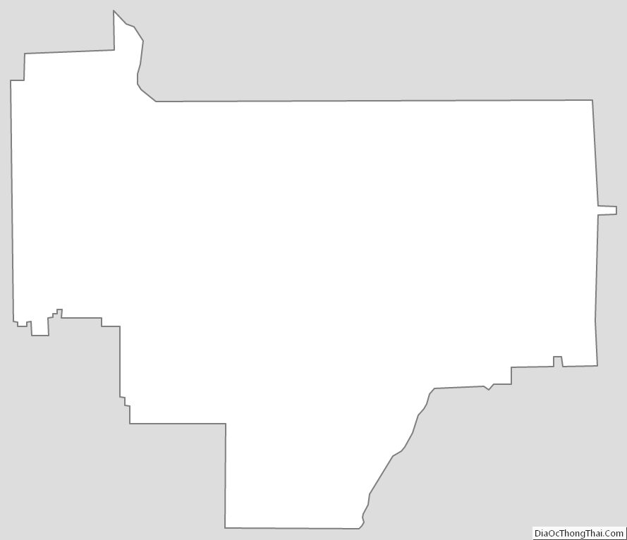
Bullock County Outline Map