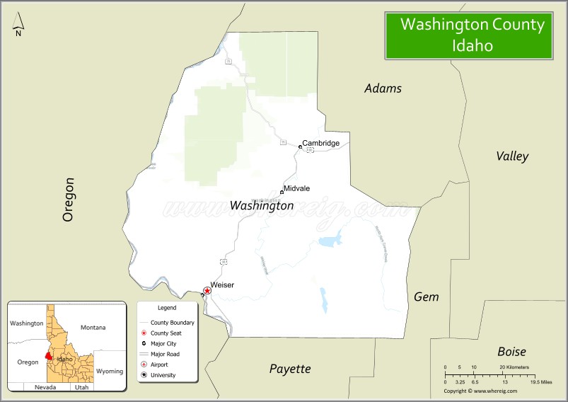
Washington County is a county in the U.S. state of Idaho. As of the 2010 census, the population was 10,198. The county seat and largest city is Weiser, with over half of the county’s population. The county was established in 1879 when Idaho was a territory and named after U.S. President George Washington.
| Name: | Washington County |
|---|---|
| FIPS code: | 16-087 |
| State: | Idaho |
| Founded: | February 20, 1879 |
| Named for: | George Washington |
| Seat: | Weiser |
| Largest city: | Weiser |
| Total Area: | 1,474 sq mi (3,820 km²) |
| Land Area: | 1,453 sq mi (3,760 km²) |
| Total Population: | 10,198 |
| Population Density: | 6.9/sq mi (2.7/km²) |
| Time zone: | UTC−7 (Mountain) |
| Summer Time Zone (DST): | UTC−6 (MDT) |
| Website: | www.co.washington.id.us |
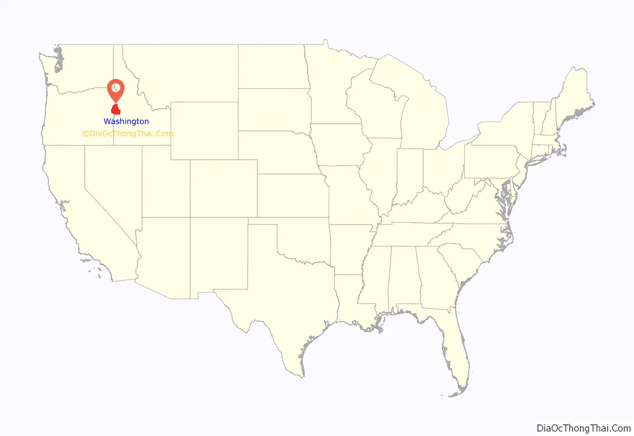
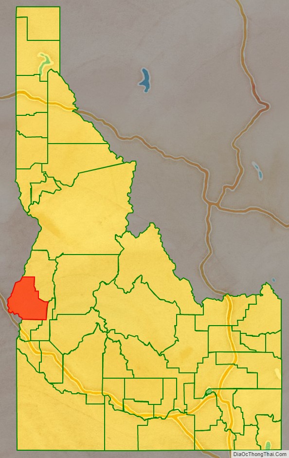
Washington County location map. Where is Washington County?
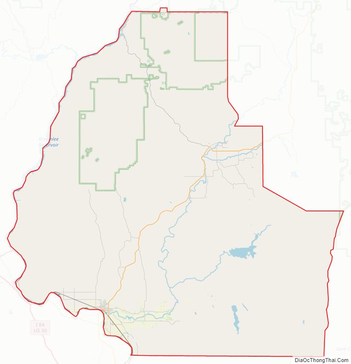
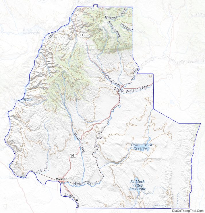
Washington County Road Map
Geography
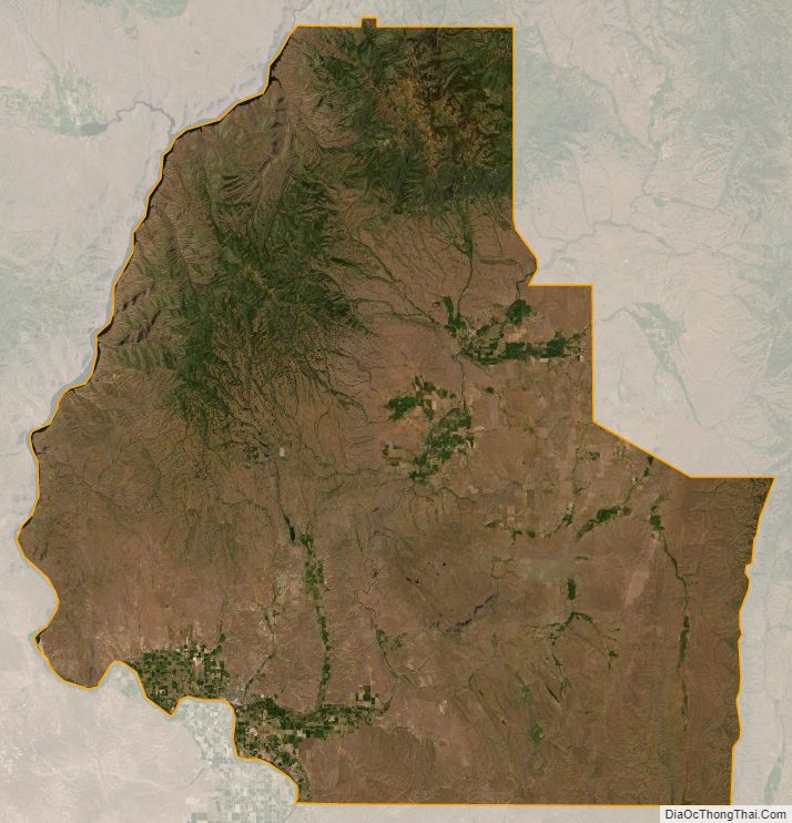
According to the U.S. Census Bureau, the county has a total area of 1,474 square miles (3,820 km), of which 1,453 square miles (3,760 km) is land and 21 square miles (54 km) (1.4%) is water.
Adjacent counties
- Adams County – north
- Gem County – east
- Payette County – south
- Malheur County, Oregon – southwest
- Baker County, Oregon – west
Major highways
- US 95
- SH-71
National protected areas
- Boise National Forest (part)
- Deer Flat National Wildlife Refuge (part)
- Payette National Forest (part)
Rivers
- Snake River
- Weiser River
Reservoirs
- Brownlee
- Crane Creek
- Mann Creek
- Paddock Valley
Washington County Topographic Map
Washington County Satellite Map
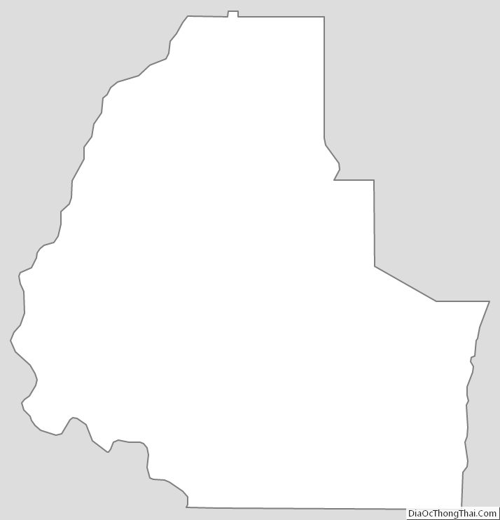
Washington County Outline Map