| Name: | Baker County |
|---|---|
| FIPS code: | 41-001 |
| State: | Oregon |
| Founded: | September 22, 1862 |
| Named for: | Edward D. Baker |
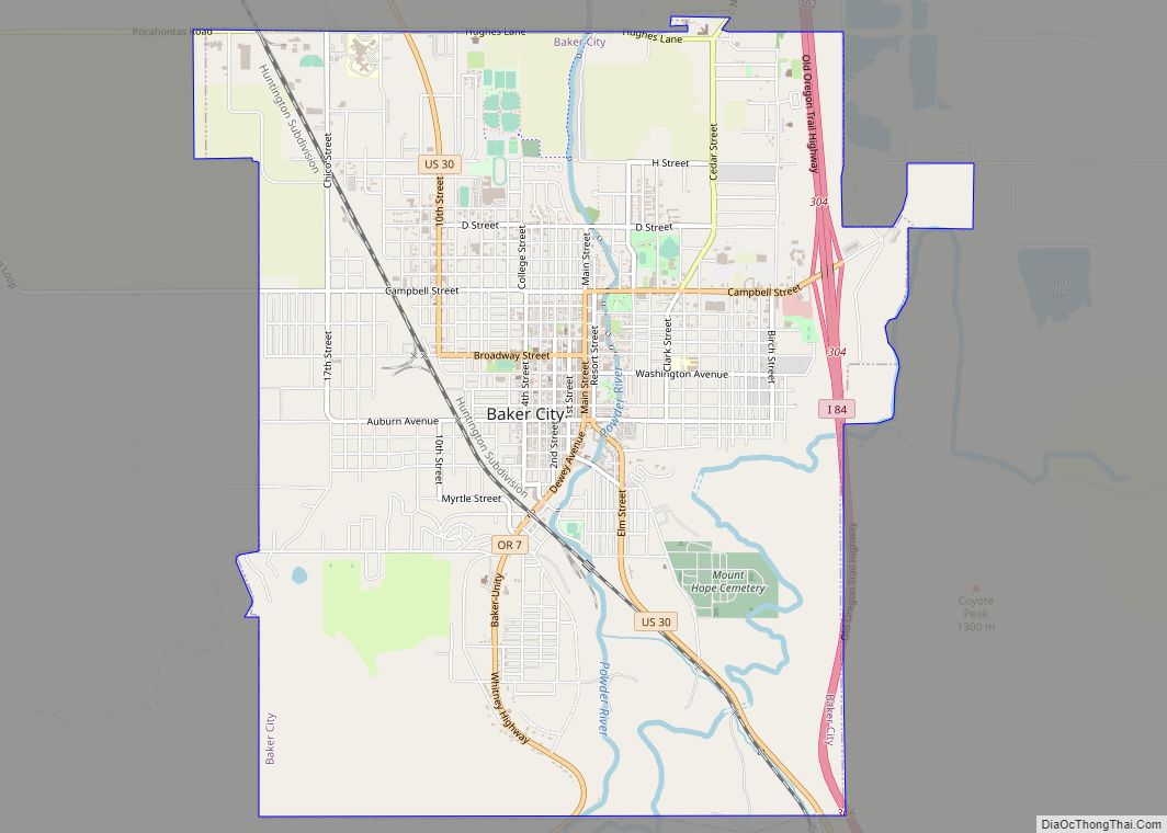
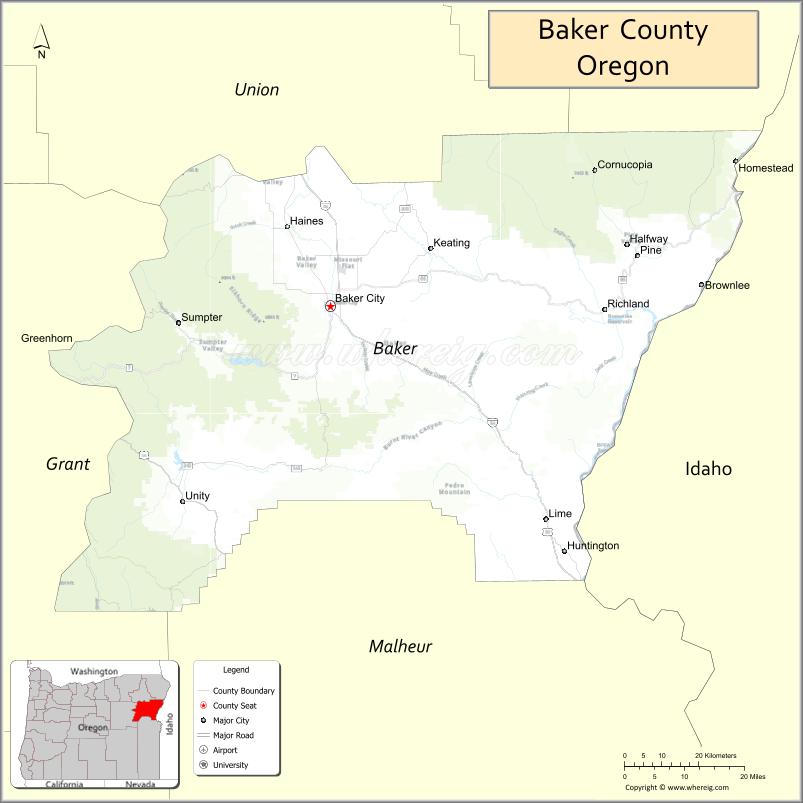
| Seat: | Baker City |
| Largest city: | Baker City |
| Total Area: | 3,088 sq mi (8,000 km²) |
| Land Area: | 3,068 sq mi (7,950 km²) |
| Total Population: | 16,668 |
| Population Density: | 5.22/sq mi (2.02/km²) |
| Time zone: | UTC−8 (Pacific) |
| Summer Time Zone (DST): | UTC−7 (PDT) |
| Website: | www.bakercounty.org |
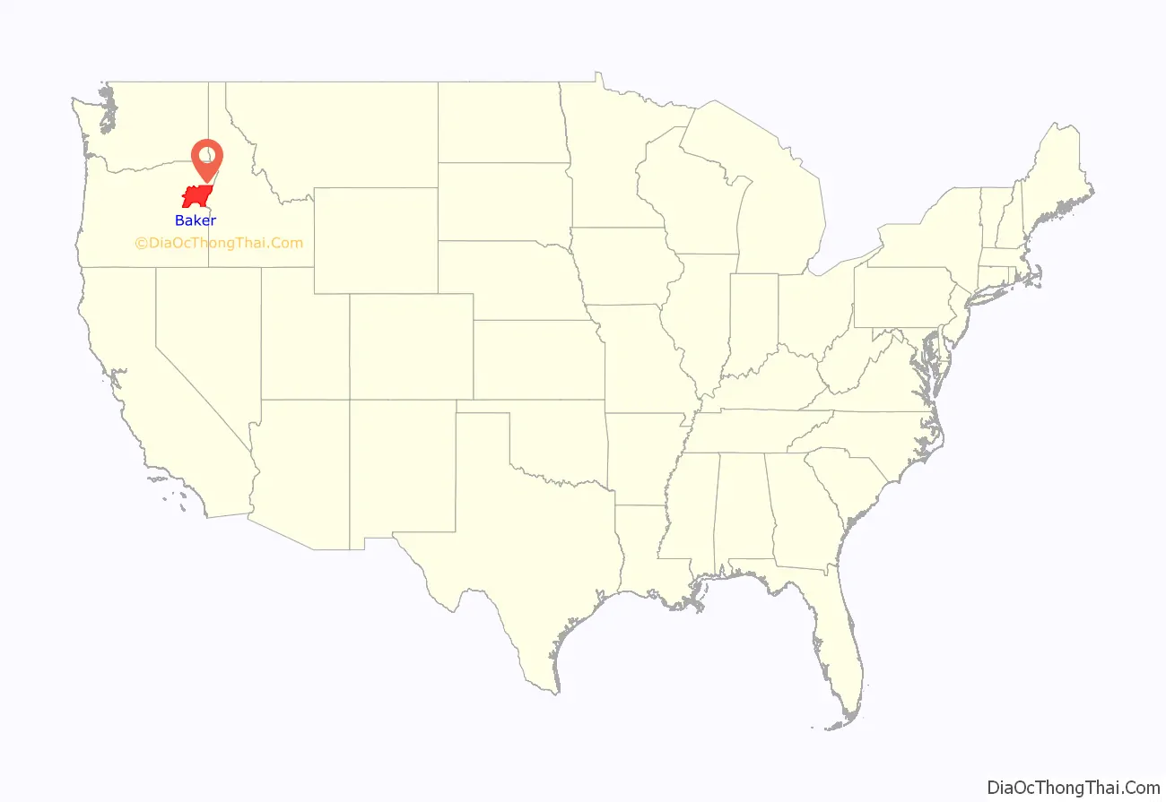
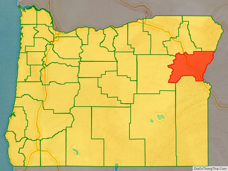
Baker County location map. Where is Baker County?
History
The first groups from the eastern U.S. following the Oregon Trail passed through the area on their way to the Willamette Valley, unaware of the potential wealth they passed over. At Flagstaff Hill, near Baker City, 15 miles (24 km) of wagon ruts left by immigrants can still be seen.
Oregon Territory achieved statehood in 1859. In 1861 gold was discovered in eastern Wasco County, and a gold rush ensued. The area quickly became the Northwest’s largest producer of gold. In September 1862 the state assembly created Baker County from Wasco. Later, Union County and Malheur County were created from this county. Baker County’s boundaries were adjusted for the last time in 1901, when the area between the Powder River and the Wallowa Mountains was returned to the county.
Auburn was the original county seat; a booming mining town with 5,000 inhabitants. Once the gold was mined out Auburn’s population dwindled. In 1868 county voters made Baker City the new county seat. Baker City was incorporated in 1874.
The population of Baker County nearly quadrupled from 1880 to 1910, largely due to the Sumpter Valley Railroad and several of its spur lines. The opening of the railroad helped lumber and mining operations develop.
In 1914 Fern Hobbs, on behalf of her employer Governor Oswald West, declared martial law in the Baker County city of Copperfield. This was the first declaration of martial law in the state since the American Civil War.
From 1915 through 1946, Baker County was represented in the Oregon State Senate by William H. Strayer. When he died in 1946, Strayer had served in the Oregon legislature longer then than any person in the state’s history.
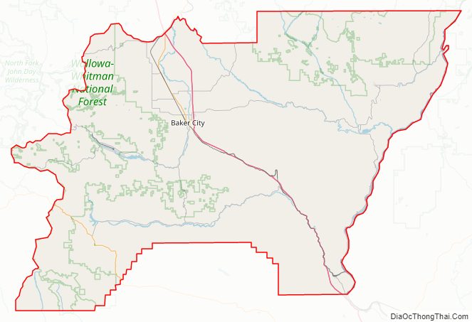
Baker County Road Map
Geography
According to the United States Census Bureau, the county has a total area of 3,088 square miles (8,000 km), of which 3,068 square miles (7,950 km) is land and 20 square miles (52 km) (0.6%) is water.
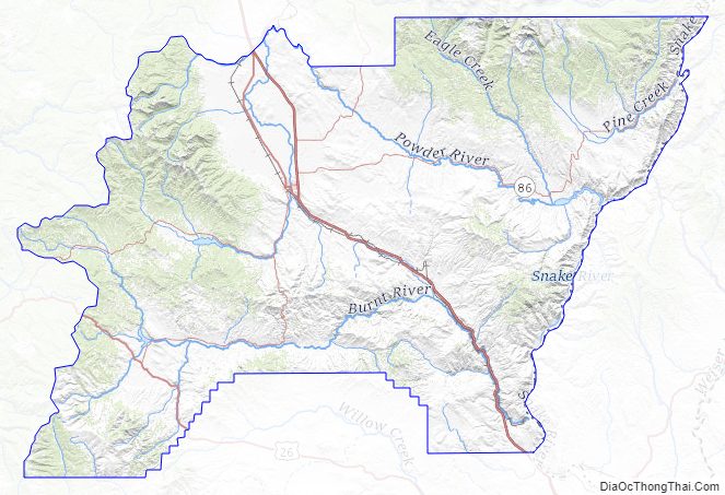
The terrain of Baker County is generally rugged, with 30 percent of the county covered with forest. The county’s highest point is Red Mountain at around 9,560 feet (2,910 m) ASL, located 1.9 miles (3 km) from the county’s northern line. The eastern boundary of the county is described by the northward-flowing Snake River, and the county terrain generally slopes to the Snake River’s valley.
Adjacent counties
- Union County – north
- Wallowa County – northeast
- Adams County, Idaho – east/Mountain Time Border
- Washington County, Idaho – southeast/Mountain Time Border
- Malheur County – south/Mountain Time Border
- Grant County – west
National protected areas
- Deer Flat National Wildlife Refuge (part)
- Hells Canyon National Recreation Area (part)
- Malheur National Forest (part)
- Whitman National Forest (part)
Baker County Topographic Map
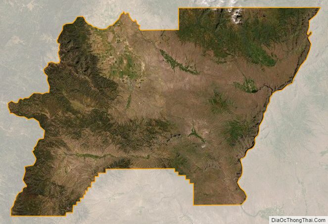
Baker County Satellite Map
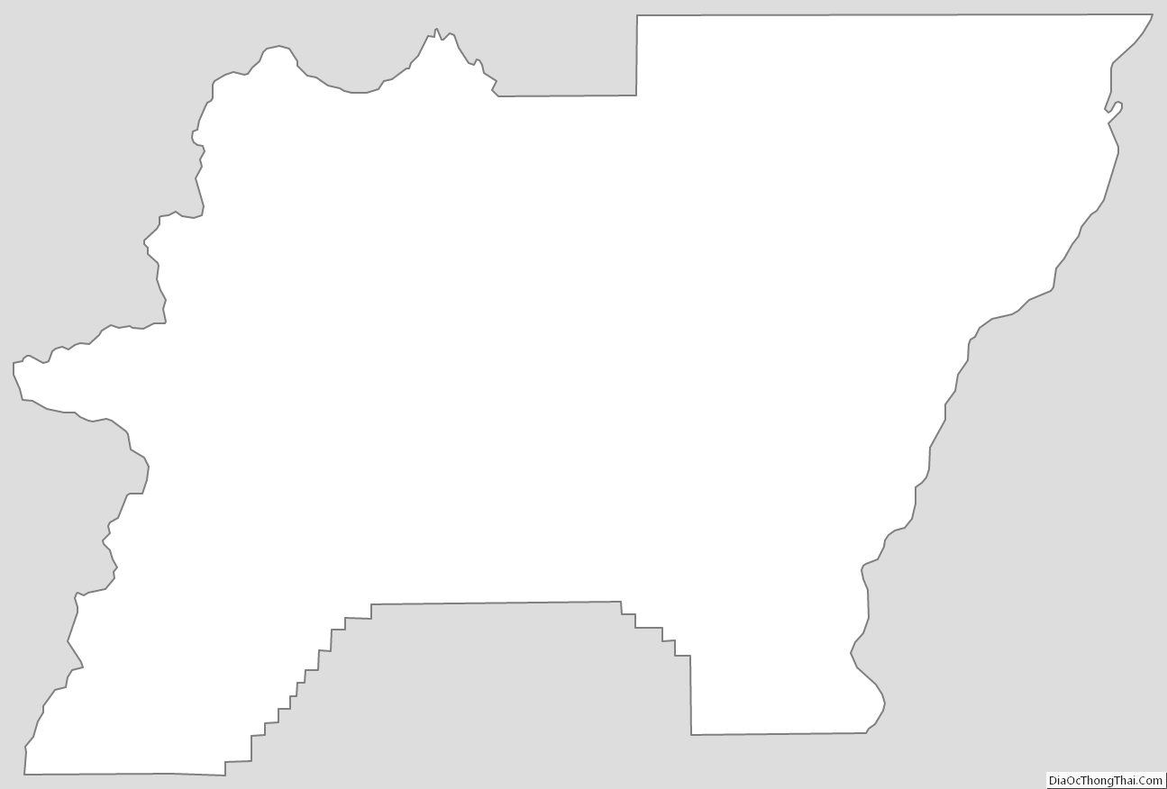
Baker County Outline Map