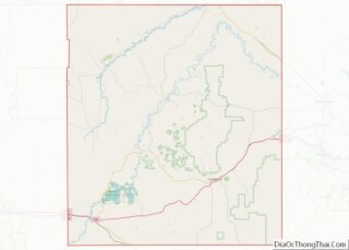
Weston County is a county in the U.S. state of Wyoming. As of the 2020 United States Census, the population was 6,838. Its county seat is Newcastle. Its east boundary line abuts the west line of the state of South Dakota.
| Name: | Weston County |
|---|---|
| FIPS code: | 56-045 |
| State: | Wyoming |
| Founded: | March 12, 1890 |
| Named for: | Jefferson B. Weston |
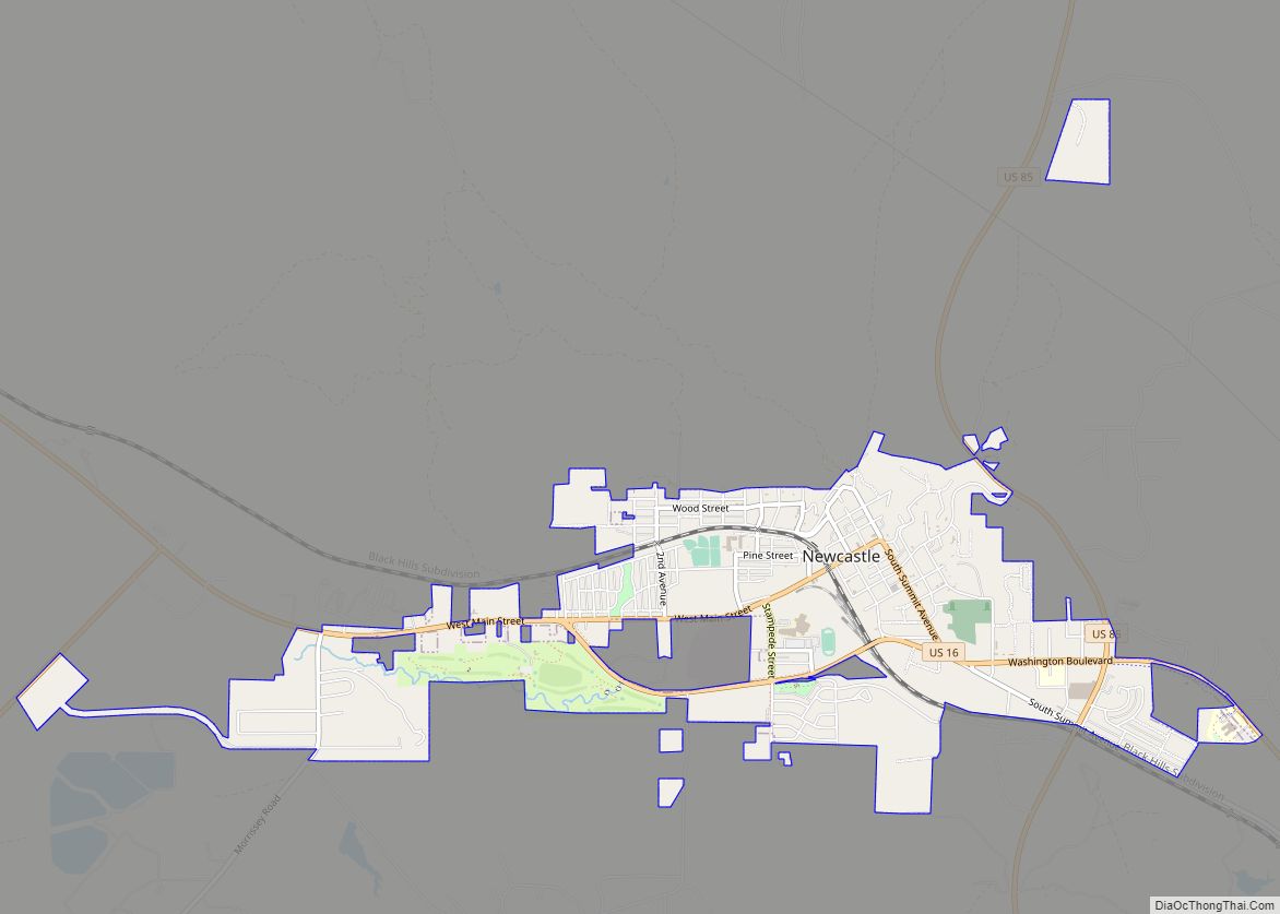
| Seat: | Newcastle |
| Largest city: | Newcastle |
| Total Area: | 2,400 sq mi (6,000 km²) |
| Land Area: | 2,398 sq mi (6,210 km²) |
| Total Population: | 6,838 |
| Population Density: | 2.8/sq mi (1.1/km²) |
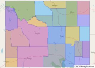
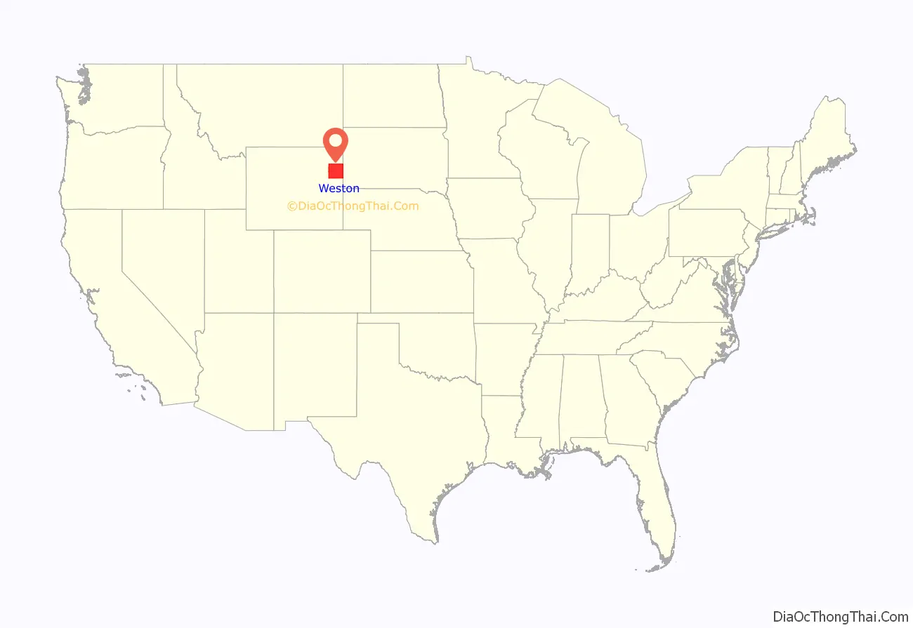
Weston County location map. Where is Weston County?
History
Weston County was created by the legislature of the Wyoming Territory on March 12, 1890, of land partitioned from Crook County.
Weston County was named for John Weston, a geologist and surveyor. In 1887, Jefferson Weston and Frank Mondell found rich coal deposits north of Newcastle which caused a railroad to be built through the area.
In 1911, Campbell County was formed from portions of Weston County and Crook County. Since then, the boundaries of Weston County have been stable.
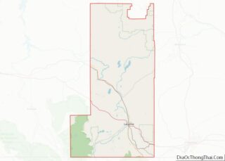
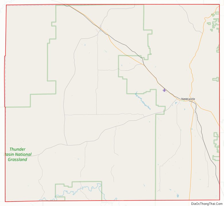
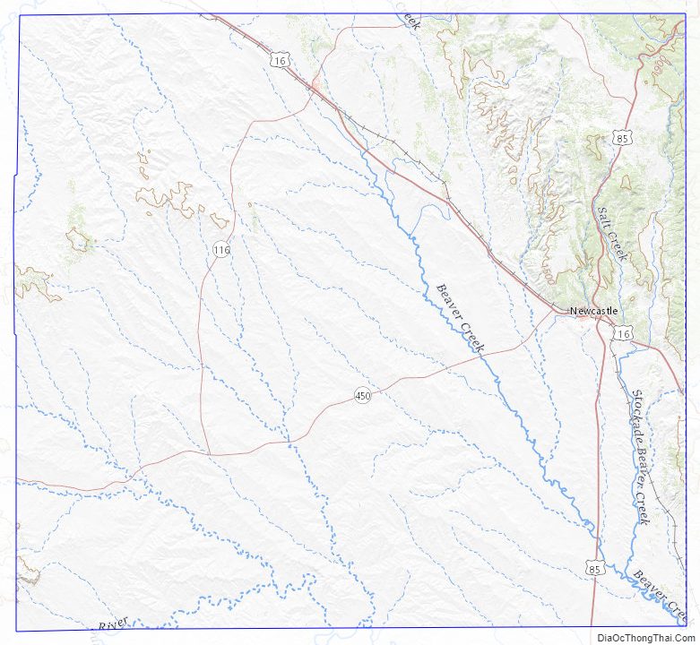
Weston County Road Map
Geography
According to the US Census Bureau, the county has a total area of 2,400 square miles (6,200 km), of which 2,398 square miles (6,210 km) is land and 1.9 square miles (4.9 km) (0.08%) is water.
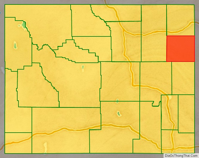
Adjacent counties
- Crook County – north
- Lawrence County, South Dakota – northeast
- Pennington County, South Dakota – east
- Custer County, South Dakota – southeast
- Niobrara County – south
- Converse County – southwest
- Campbell County – west
Major highways
- U.S. Highway 16
- U.S. Highway 20
- U.S. Highway 85
- Wyoming Highway 116
- Wyoming Highway 450
- Wyoming Highway 585
National protected areas
- Black Hills National Forest (part)
- Thunder Basin National Grassland (part)
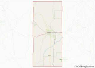
Weston County Topographic Map
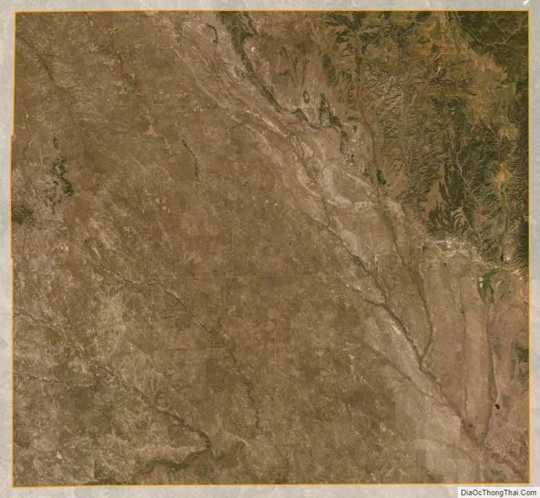
Weston County Satellite Map
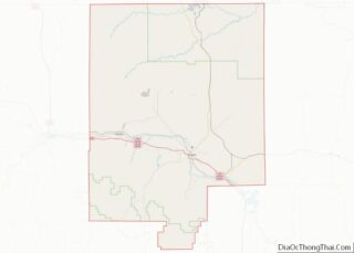
Weston County Outline Map