| Name: | Lawrence County |
|---|---|
| FIPS code: | 46-081 |
| State: | South Dakota |
| Founded: | 1875 |
| Named for: | John Lawrence |
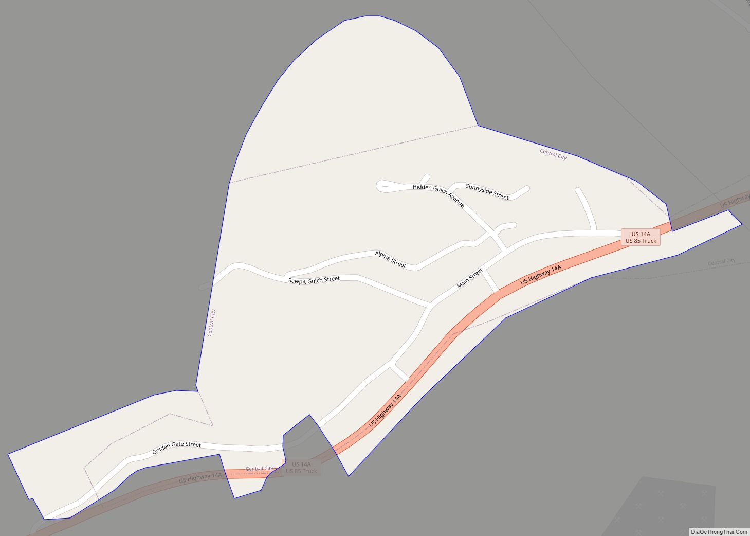
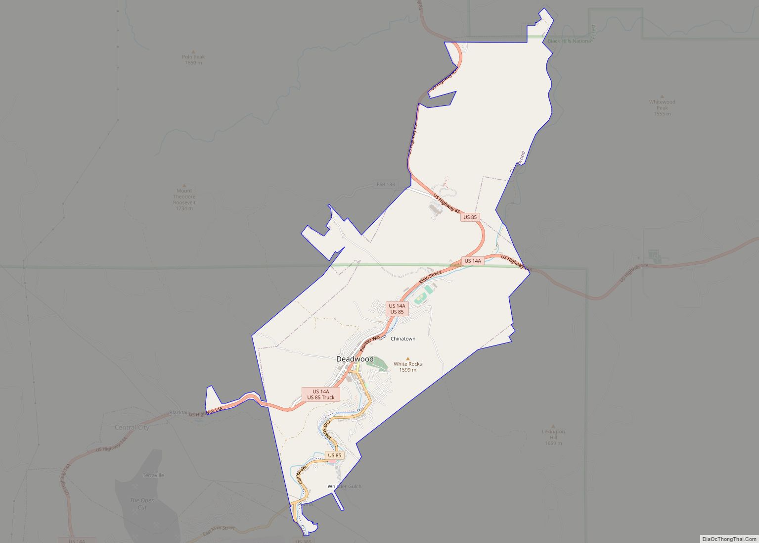
| Seat: | Deadwood |
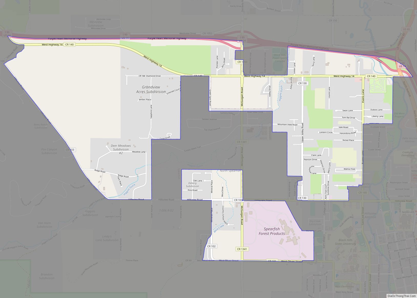
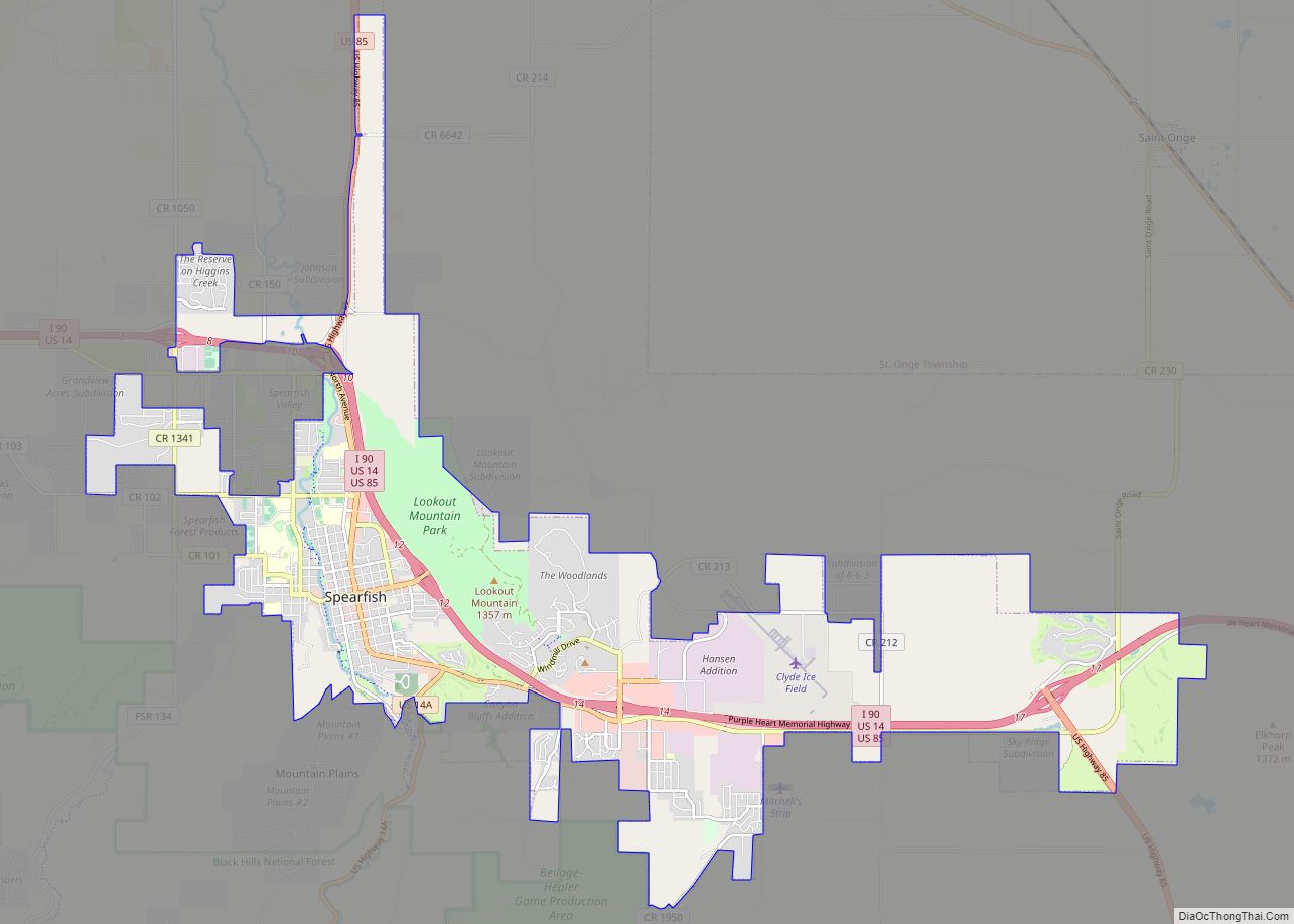
| Largest city: | Spearfish |
| Total Area: | 800 sq mi (2,000 km²) |
| Land Area: | 800 sq mi (2,000 km²) |
| Total Population: | 25,768 |
| Population Density: | 32/sq mi (12/km²) |
| Time zone: | UTC−7 (Mountain) |
| Summer Time Zone (DST): | UTC−6 (MDT) |
| Website: | www.lawrence.sd.us |
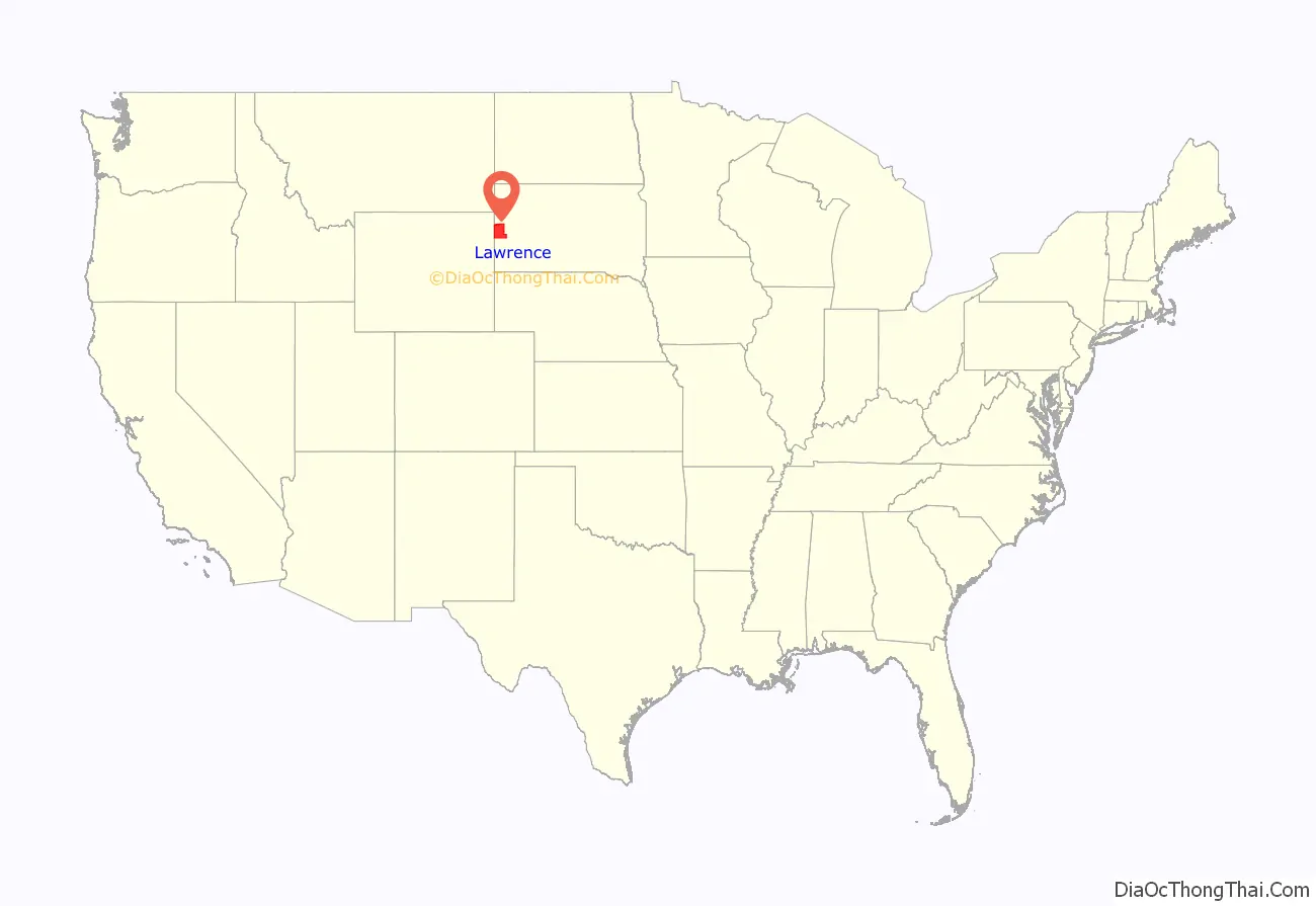
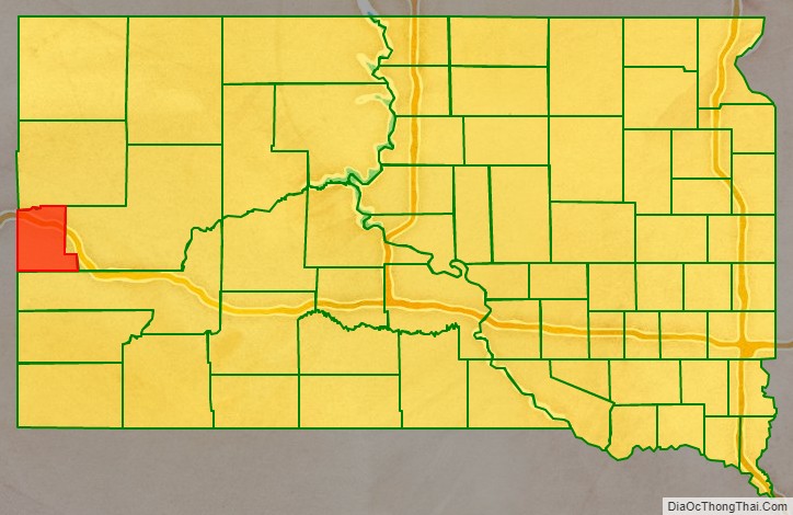
Lawrence County location map. Where is Lawrence County?
History
Lawrence County was created January 11, 1875, and was organized in 1877. The county was named for “Colonel” John Lawrence, who came to the county as first treasurer in 1877. Lawrence had previously served in the Dakota Territorial Legislature, as a Sergeant at Arms for the United States House of Representatives, and a US Marshal for the Dakota territory. After retirement, he continued to act as county road supervisor and as an election judge. The title “Colonel” was honorary, bestowed by the governor of the Dakota Territory.
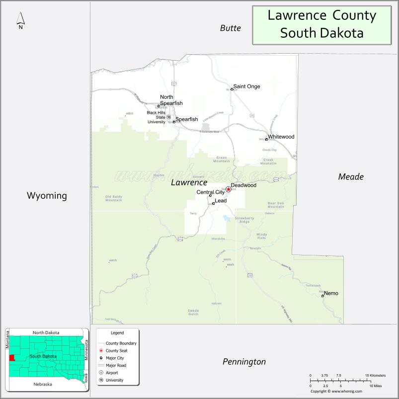
Lawrence County Road Map
Geography
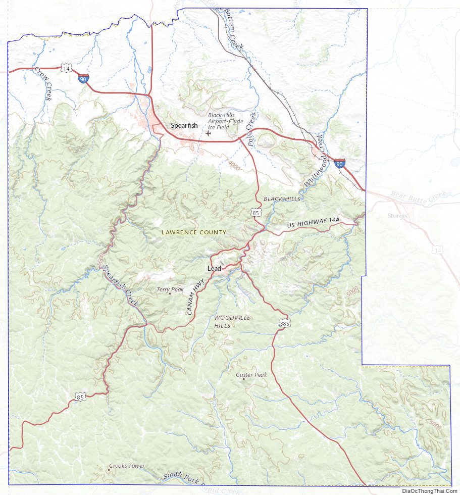
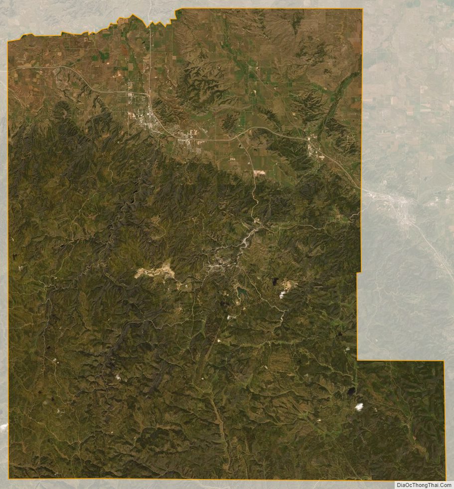
Lawrence County lies on the west side of South Dakota. Its west boundary line abuts the east boundary line of the state of Wyoming. The terrain of Lawrence County consists of mountains in the south and west, falling off to the hilly northeast portion. A tributary of the Redwater River flows east-northeasterly along a portion of the county’s north boundary line, delineating that portion of the line. The terrain generally slopes to the county’s northeast corner; its highest point is Crooks Tower, at 7,137′. The county has a total area of 800 square miles (2,100 km), of which 800 square miles (2,100 km) is land and 0.3 square miles (0.78 km) (0.03%) is water.
Major highways
- Interstate 90
- U.S. Highway 14
- U.S. Highway 14A
- U.S. Highway 85
- U.S. Highway 385
- South Dakota Highway 34
Adjacent counties
- Butte County – north
- Meade County – east
- Pennington County – south
- Weston County, Wyoming – southwest
- Crook County, Wyoming – west
Protected areas
- Black Hills National Forest (partial)
- Beilage Hepler State Game Production Area
- Coxes-Mirror Lakes State Game Production Area
- Harrison-Badger-Trucano State Game Production Area
- Iron Creek Lake State Game Production Area
- Reausaw Lake State Game Production Area
- Spearfish Canyon State Nature Area
Lawrence County Topographic Map
Lawrence County Satellite Map
Lawrence County Outline Map