Wichita County (/ˈwɪtʃɪtɔː/ WITCH-i-taw) is a county located in the U.S. state of Texas. As of the 2020 census, its population was 129,350. The county seat is Wichita Falls. The county was created in 1858 and organized in 1882. Wichita County is part of the Wichita Falls, Texas, TX Metropolitan Statistical Area.
| Name: | Wichita County |
|---|---|
| FIPS code: | 48-485 |
| State: | Texas |
| Founded: | February 1, 1882 |
| Seat: | Wichita Falls |
| Largest city: | Wichita Falls |
| Total Area: | 633 sq mi (1,640 km²) |
| Land Area: | 628 sq mi (1,630 km²) |
| Total Population: | 129,350 |
| Population Density: | 200/sq mi (79/km²) |
| Time zone: | UTC−6 (Central) |
| Summer Time Zone (DST): | UTC−5 (CDT) |
| Website: | wichitacountytx.com |
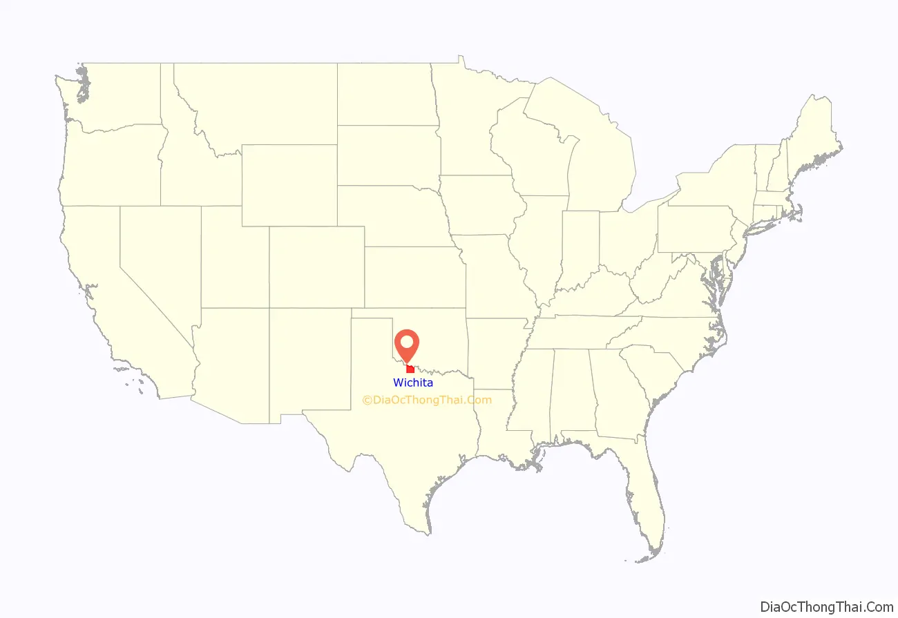
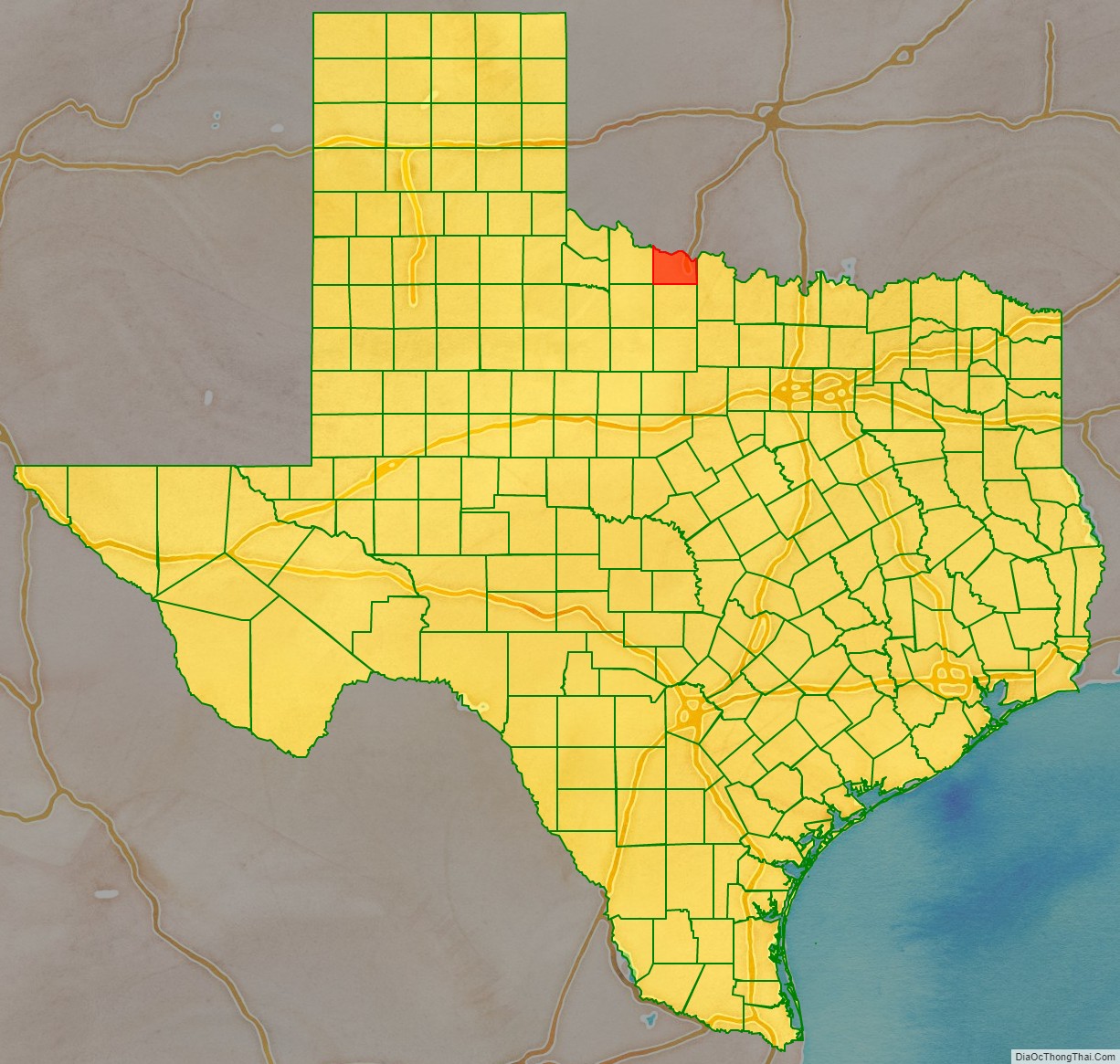
Wichita County location map. Where is Wichita County?
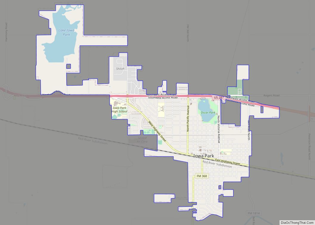
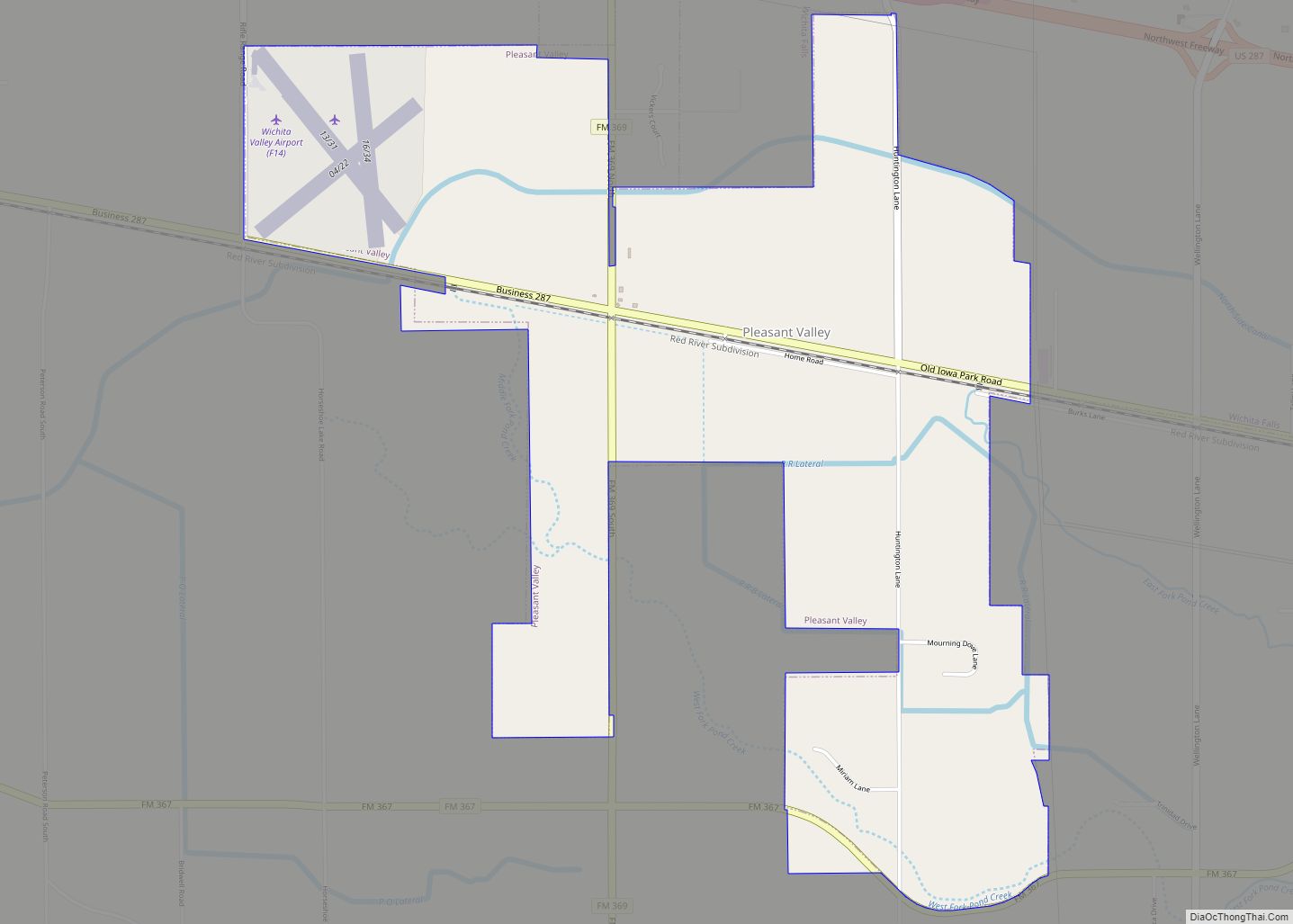
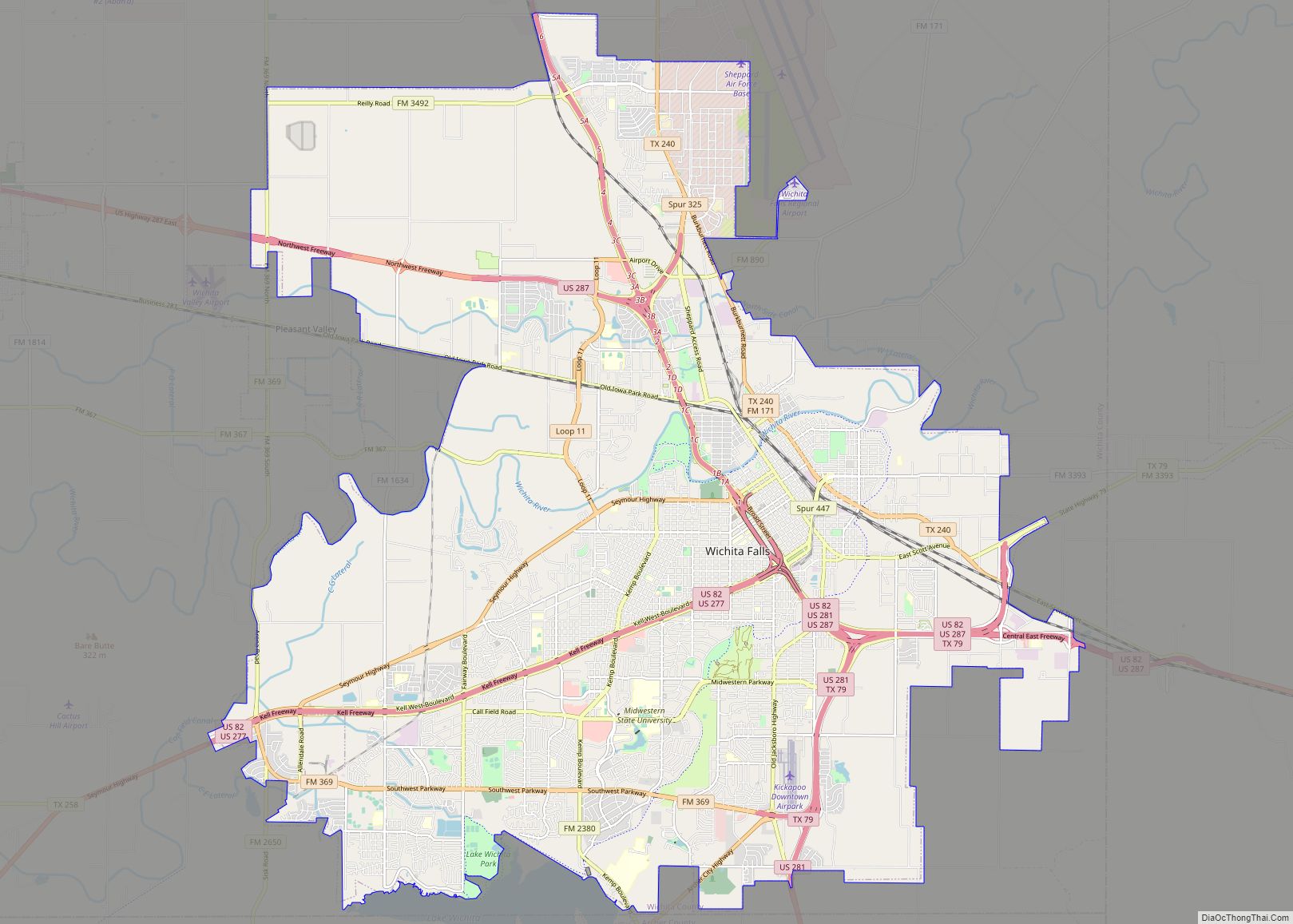
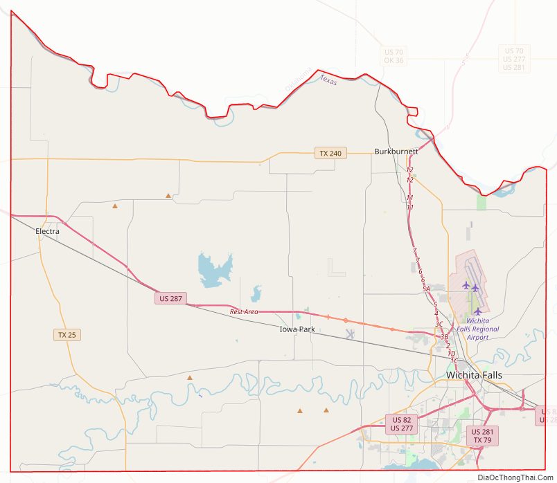
Wichita County Road Map

Geography
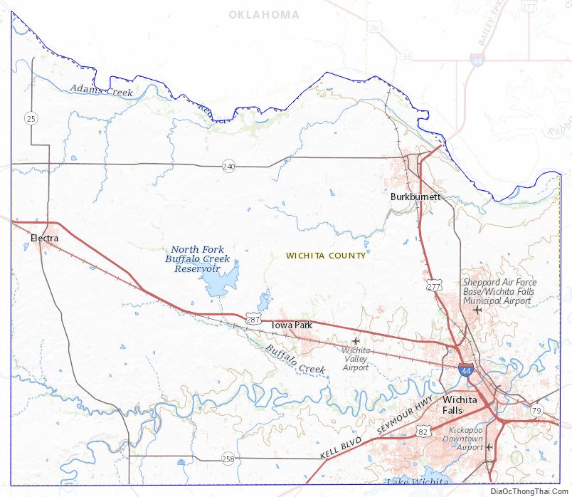
According to the U.S. Census Bureau, the county has a total area of 633 square miles (1,640 km), of which 628 square miles (1,630 km) is land and 5.3 square miles (14 km) (0.8%) is water. The county is drained by the Wichita River and other streams.
Major highways
- Interstate 44
- U.S. Highway 82
- U.S. Highway 277
- U.S. Highway 281
- U.S. Highway 287
- State Highway 25
- State Highway 79
- State Highway 240
- State Highway 258
Adjacent counties
- Tillman County, Oklahoma (north)
- Cotton County, Oklahoma (northeast)
- Clay County (east)
- Archer County (south)
- Wilbarger County (west)
- Baylor County (southwest)
Wichita County Topographic Map
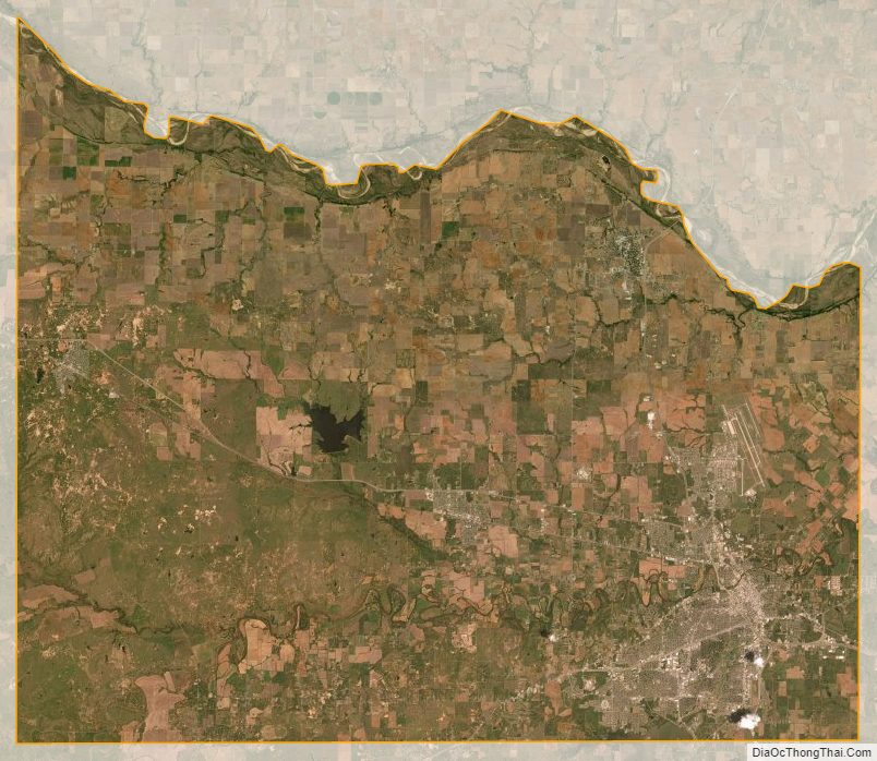
Wichita County Satellite Map
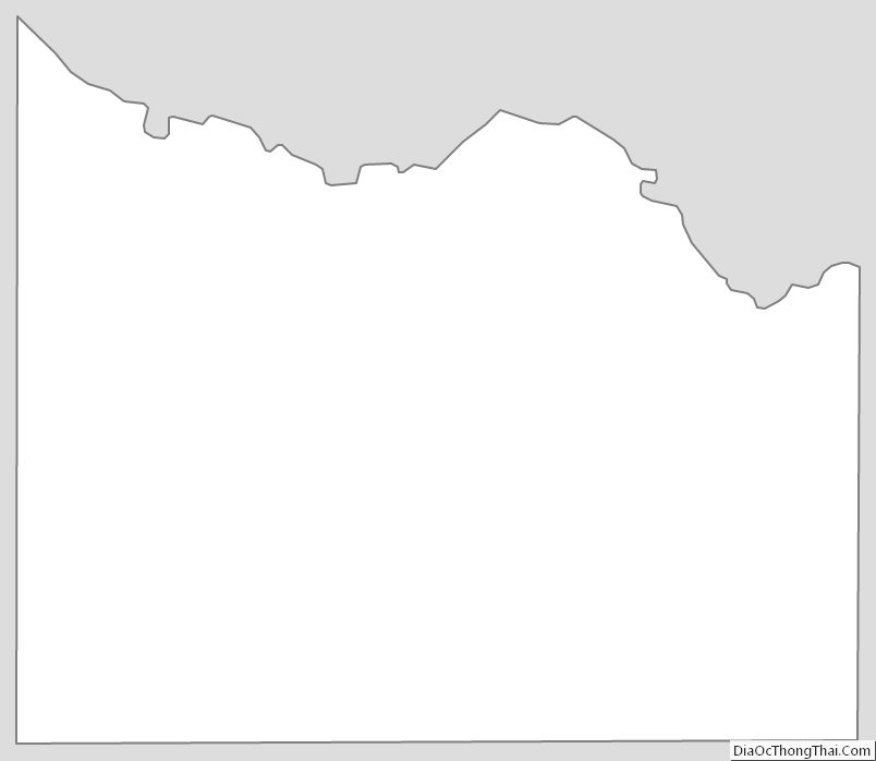
Wichita County Outline Map