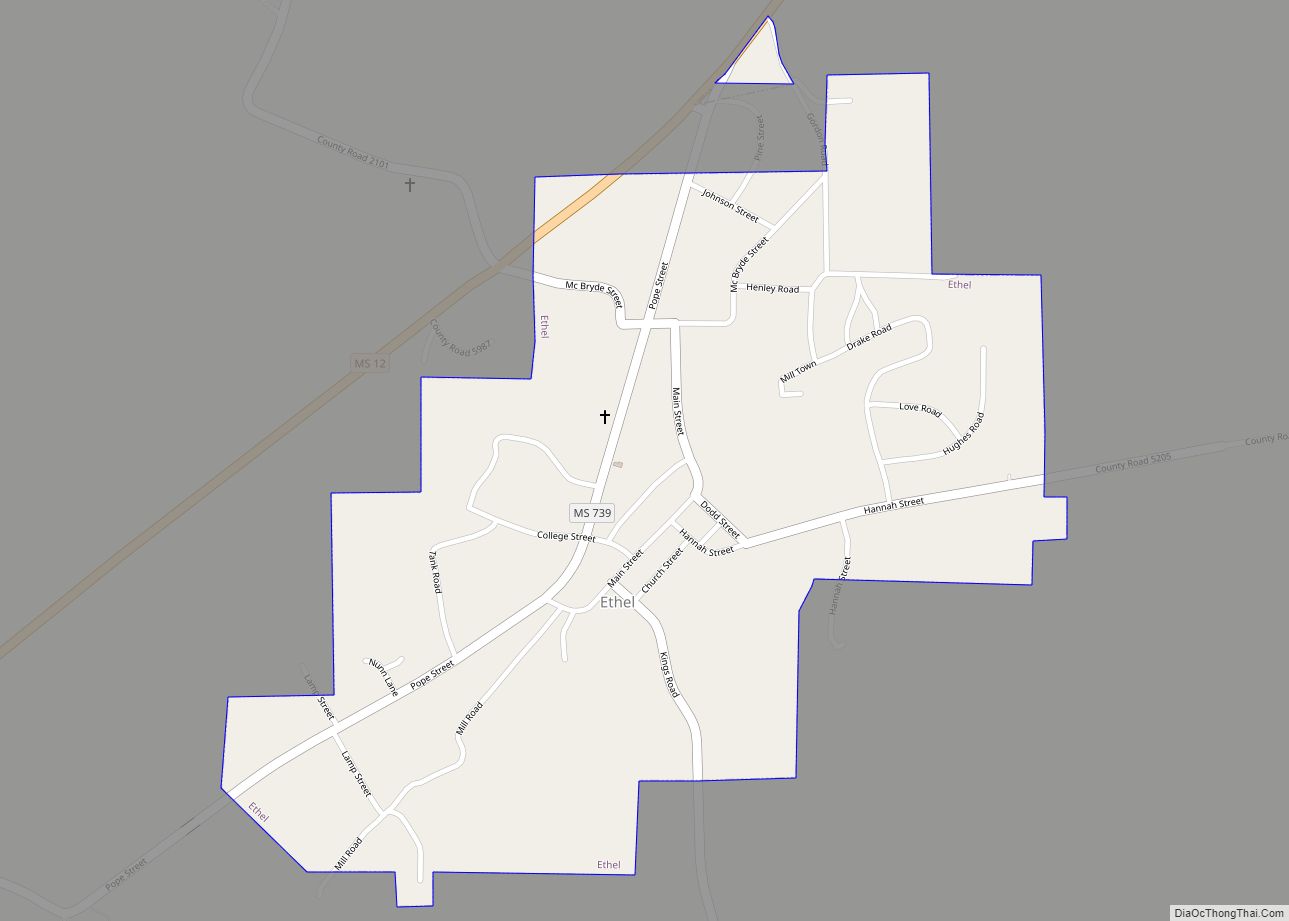
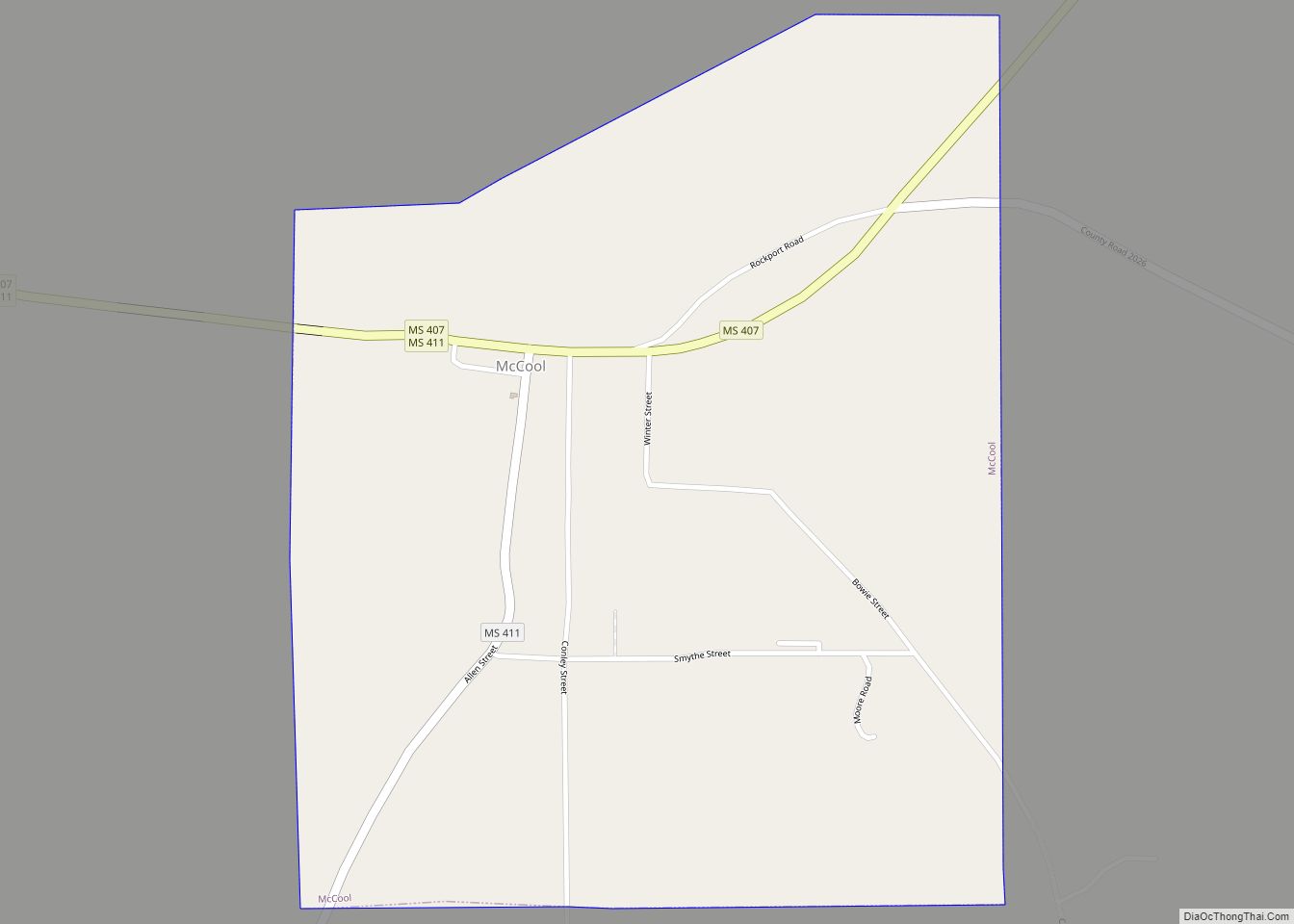
Attala County (/ˈætələ/) is a county located in the U.S. state of Mississippi. As of the 2020 census, the population was 17,889. Its county seat is Kosciusko. Attala County is named for Atala, a fictional Native American heroine from an early-19th-century novel of the same name by François-René de Chateaubriand.
| Name: | Attala County |
|---|---|
| FIPS code: | 28-007 |
| State: | Mississippi |
| Founded: | 1833 |
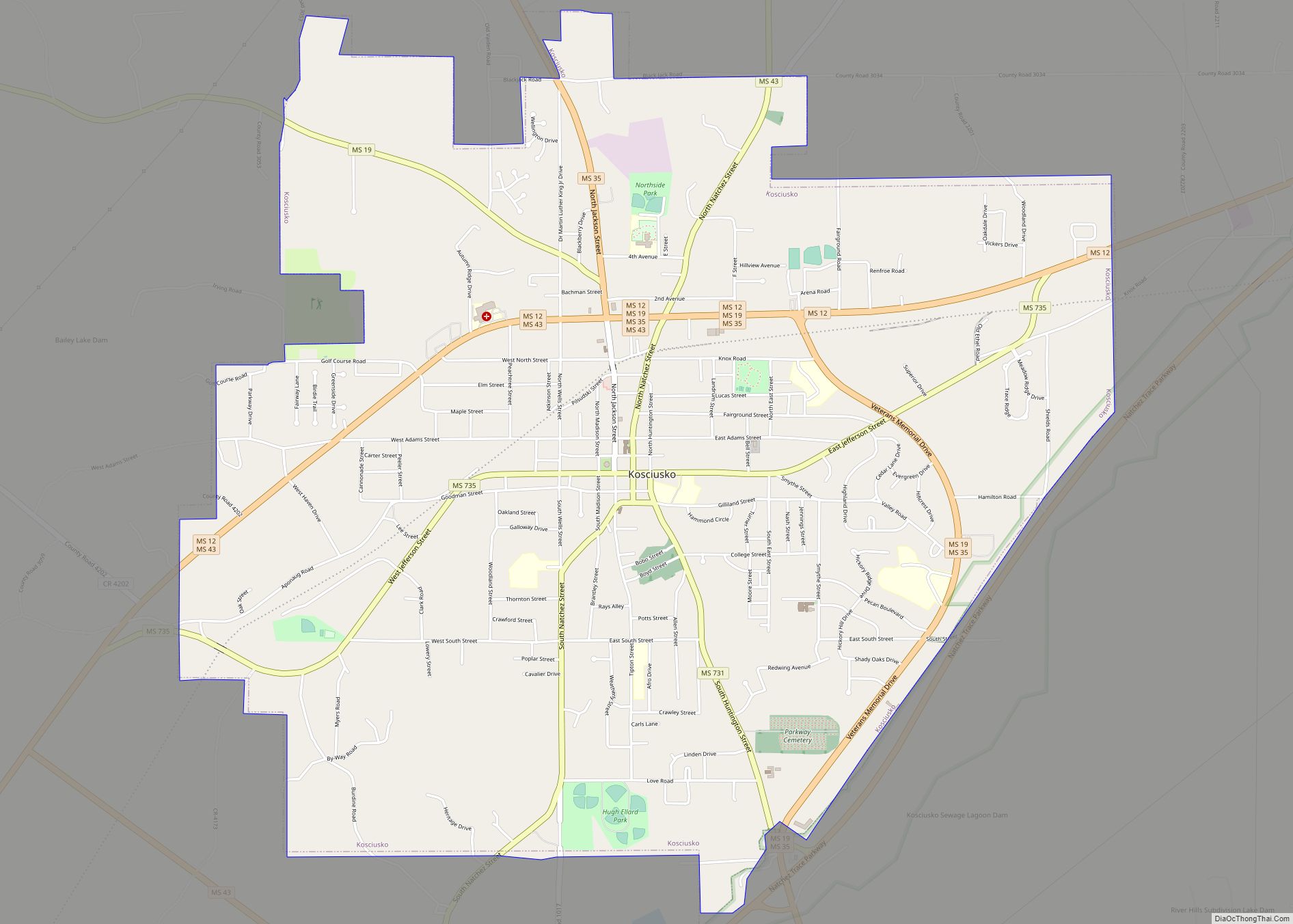
| Seat: | Kosciusko |
| Largest city: | Kosciusko |
| Total Area: | 737 sq mi (1,910 km²) |
| Land Area: | 735 sq mi (1,900 km²) |
| Total Population: | 17,889 |
| Population Density: | 24/sq mi (9.4/km²) |
| Time zone: | UTC−6 (Central) |
| Summer Time Zone (DST): | UTC−5 (CDT) |
| Website: | www.attalacounty.net |
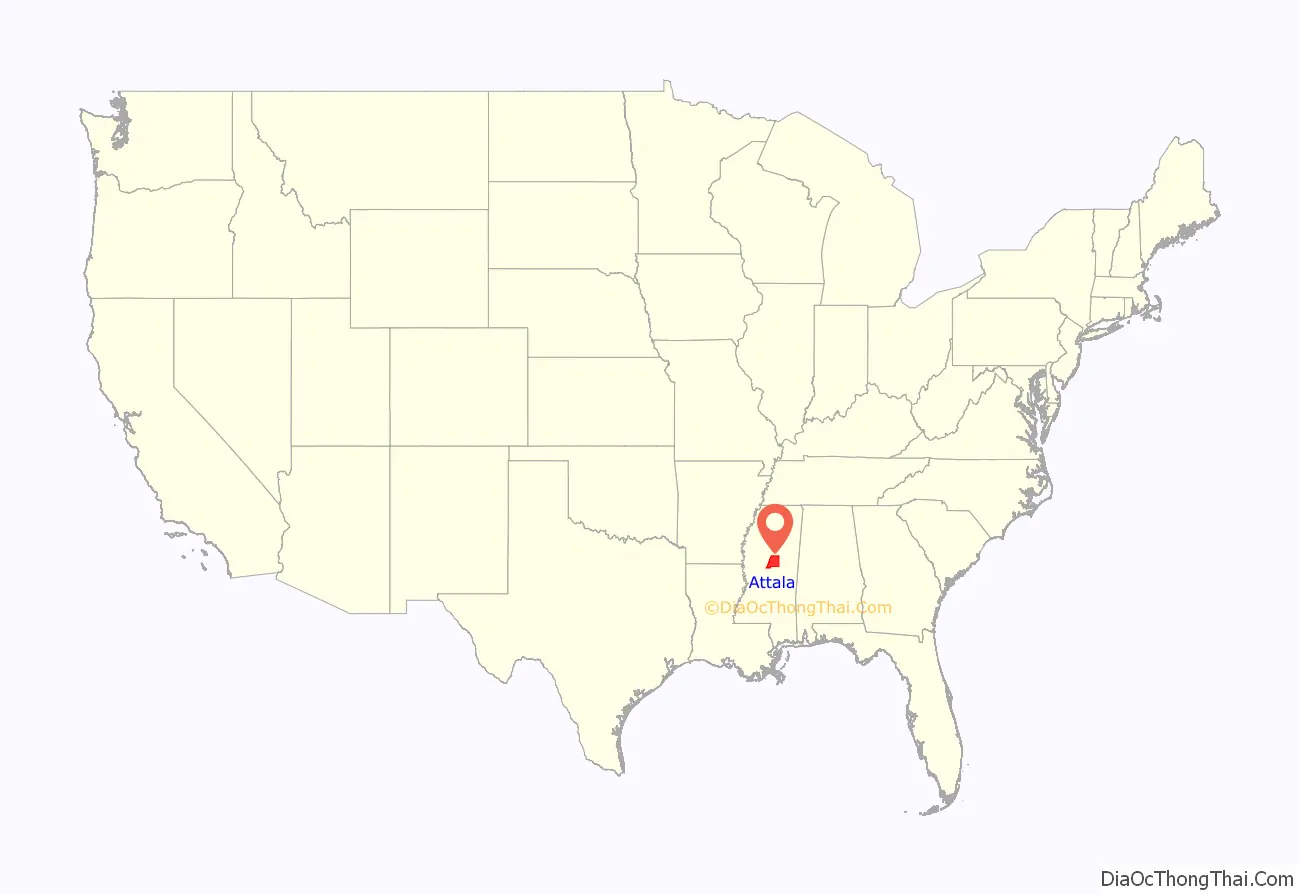
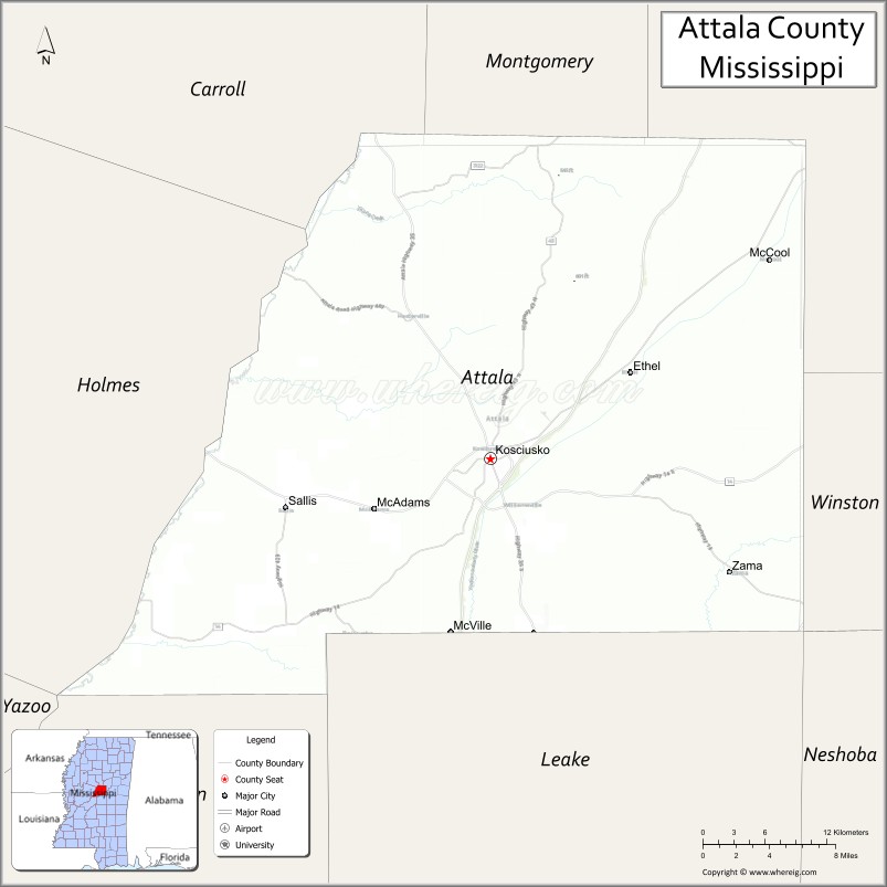
Attala County location map. Where is Attala County?
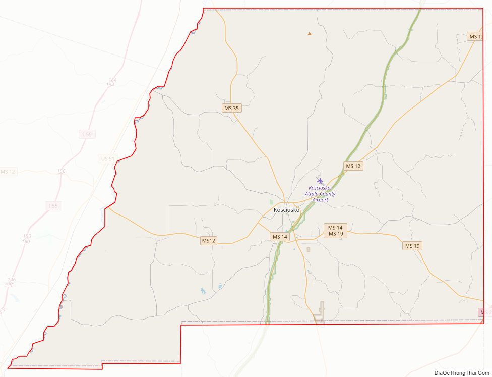
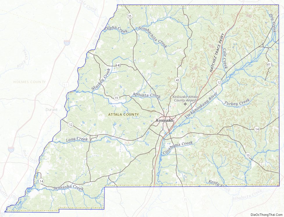
Attala County Road Map
Geography
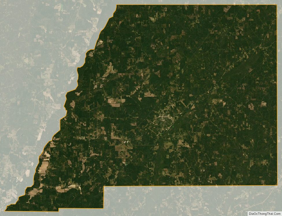
According to the U.S. Census Bureau, the county has a total area of 737 square miles (1,910 km), of which 735 square miles (1,900 km) is land and 1.7 square miles (4.4 km) (0.2%) is water. It is bound by the Big Black River, a tributary of the Mississippi River, in the west.
Major roads
- Mississippi Highway 12
- Mississippi Highway 14
- Mississippi Highway 19
- Mississippi Highway 35
- Mississippi Highway 43
- Natchez Trace Parkway
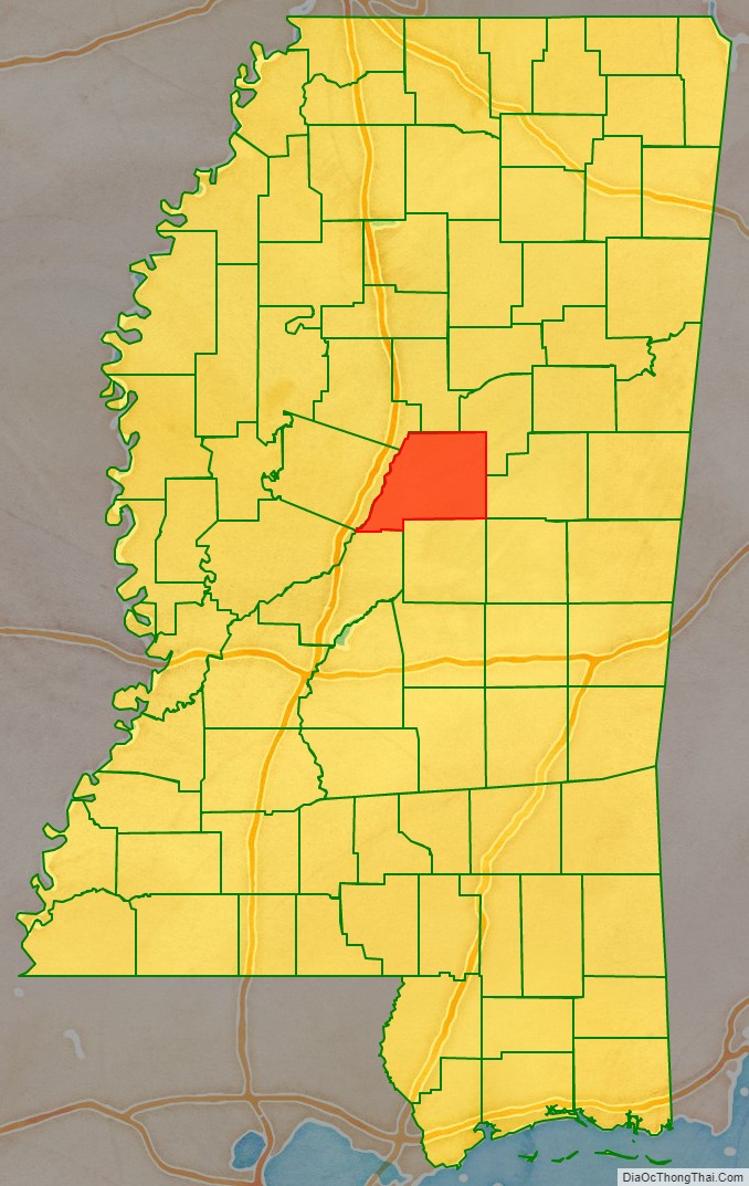
Adjacent counties
- Montgomery County (north)
- Choctaw County (northeast)
- Winston County (east)
- Leake County (south)
- Madison County (southwest)
- Holmes County (west)
- Carroll County (northwest)
National protected area
- Natchez Trace Parkway (part)
Attala County Topographic Map
Attala County Satellite Map
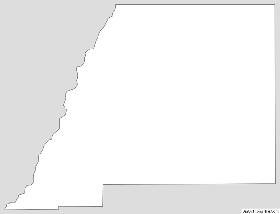
Attala County Outline Map