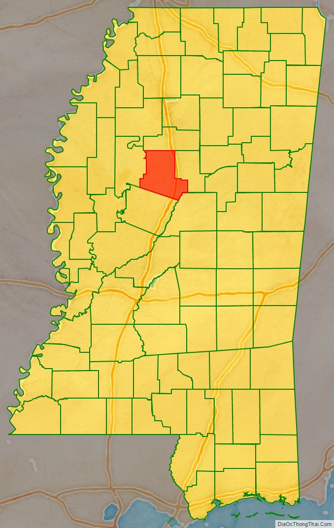
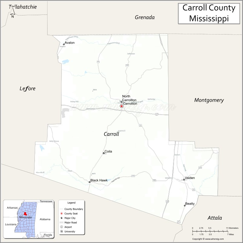
Carroll County is a county in the U.S. state of Mississippi. As of the 2020 census, the population was 9,998. Its county seats are Carrollton and Vaiden. The county is named for Charles Carroll of Carrollton, the last surviving signatory of the Declaration of Independence.
Carroll County is part of the Greenwood, Micropolitan Statistical Area. Bordered by the Yazoo River on the west and the Big Black River to the east, it is considered within the Mississippi Delta region. Most of its land is in the hill country.
The Porter Wagoner song “The Carroll County Accident” was set here. The county is referred to in the third verse of Bobbie Gentry’s 1967 hit song, “Ode to Billie Joe”.
| Name: | Carroll County |
|---|---|
| FIPS code: | 28-015 |
| State: | Mississippi |
| Founded: | 1833 |
| Named for: | Charles Carroll of Carrollton |
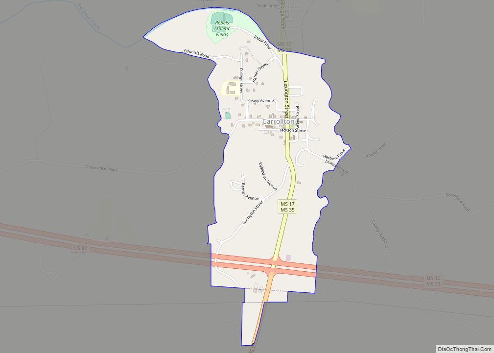
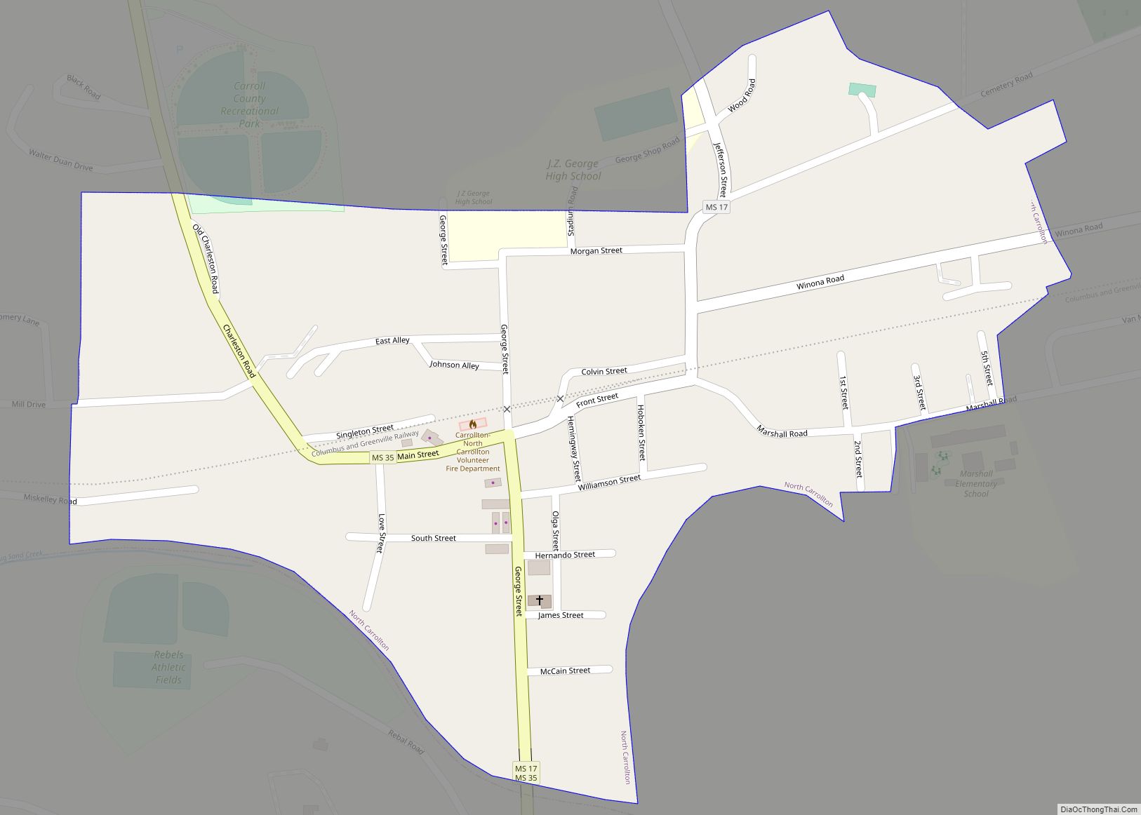
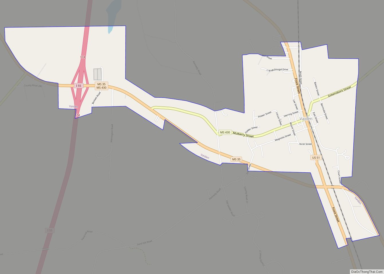
| Seat: | Carrollton (Northern District) Vaiden (Southern District) |
| Largest town: | Vaiden |
| Total Area: | 635 sq mi (1,640 km²) |
| Land Area: | 628 sq mi (1,630 km²) |
| Total Population: | 9,998 |
| Population Density: | 16/sq mi (6.1/km²) |
| Time zone: | UTC−6 (Central) |
| Summer Time Zone (DST): | UTC−5 (CDT) |
| Website: | carrollcountyms.org |
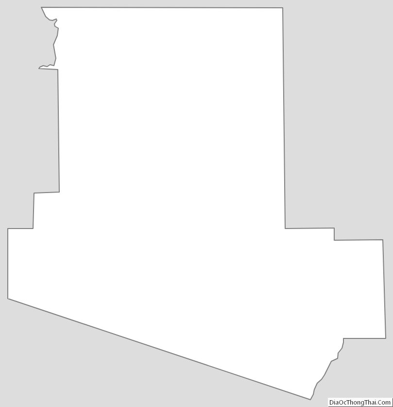
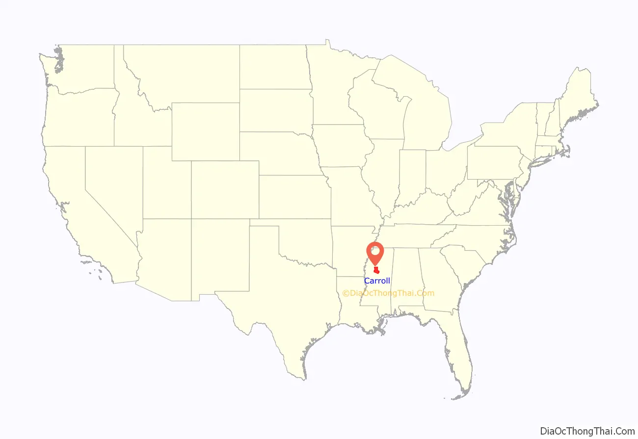
Carroll County location map. Where is Carroll County?
History
This area was developed by European Americans for cotton plantations near the rivers. These were dependent on the labor of large gangs of enslaved African Americans. After the American Civil War, many freedmen worked as sharecroppers or tenant farmers on the plantations. Other areas were harvested for timber.
In the period from 1877 to 1950, Carroll County had 29 documented lynchings of African Americans, the second-highest number in the state.
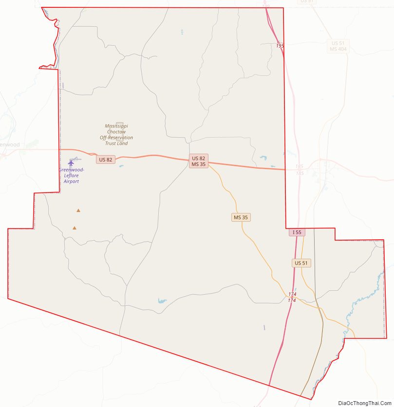
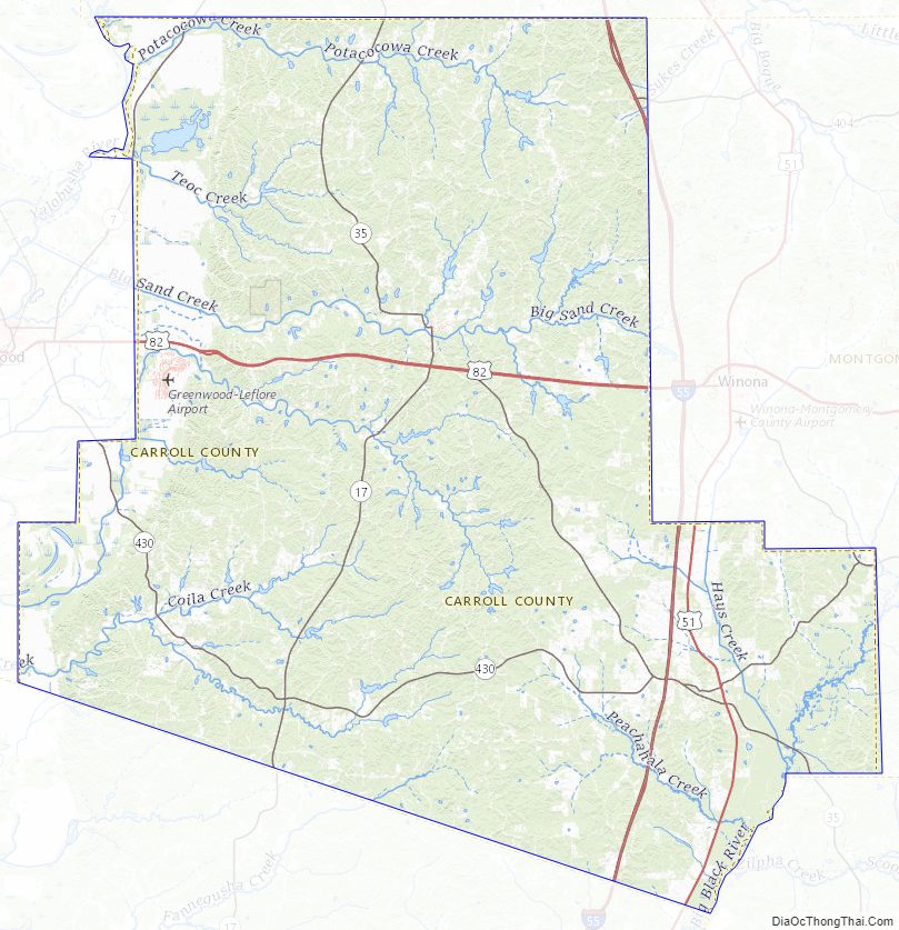
Carroll County Road Map
Geography
Carroll County consists of rolling hills, largely covered with trees. The county’s highest point is adjacent to State Highway 35, 8 miles (13 km) WSW of Winona, at 540′ (165m) ASL. According to the Census Bureau, the county has a total area of 635 square miles (1,640 km), of which 628 square miles (1,630 km) is land and 6.3 square miles (16 km) (1.0%) is water.
Major highways
- Interstate 55
- U.S. Route 51
- U.S. Route 82
- Mississippi Highway 17
- Mississippi Highway 35
Adjacent counties
- Grenada County – north
- Montgomery County – east
- Attala County – southeast
- Holmes County – southwest
- Leflore County – west
Carroll County Topographic Map
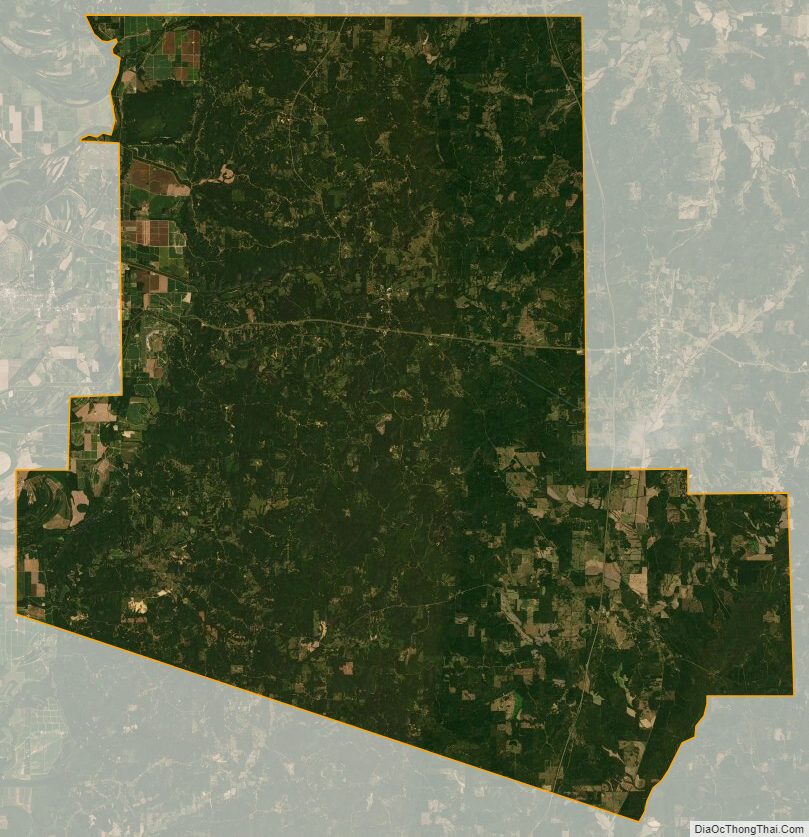
Carroll County Satellite Map
Carroll County Outline Map